East Dallas Trail
Total Miles
8.9
Technical Rating
Best Time
Fall, Summer, Spring
Trail Type
Full-Width Road
Accessible By
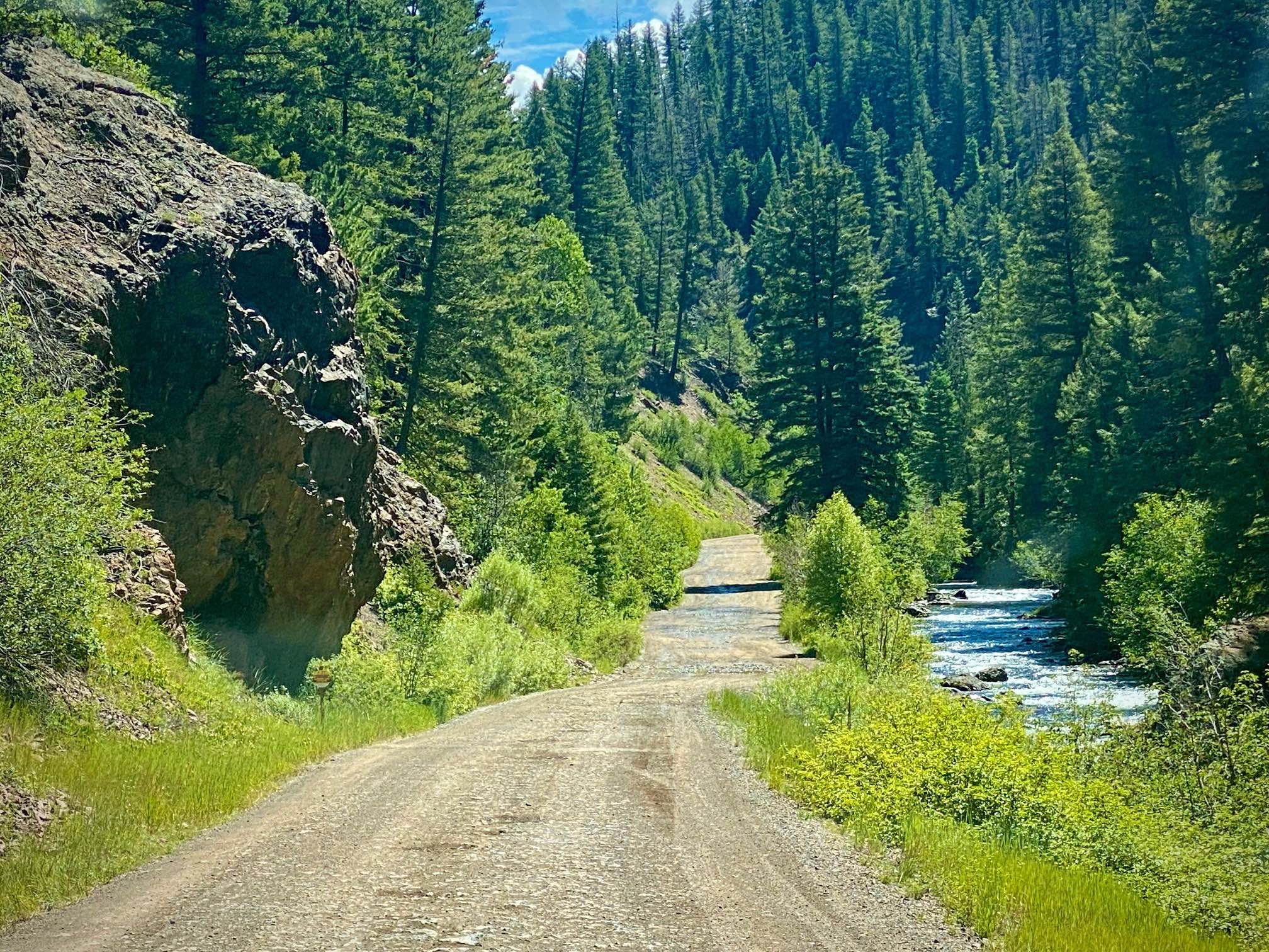
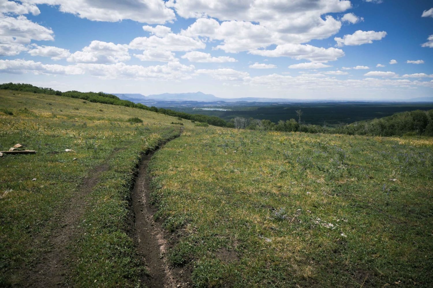
Trail Overview
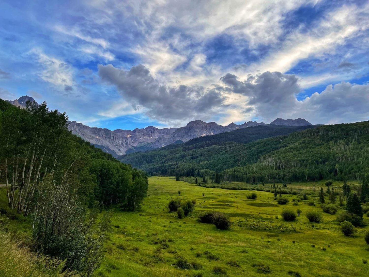
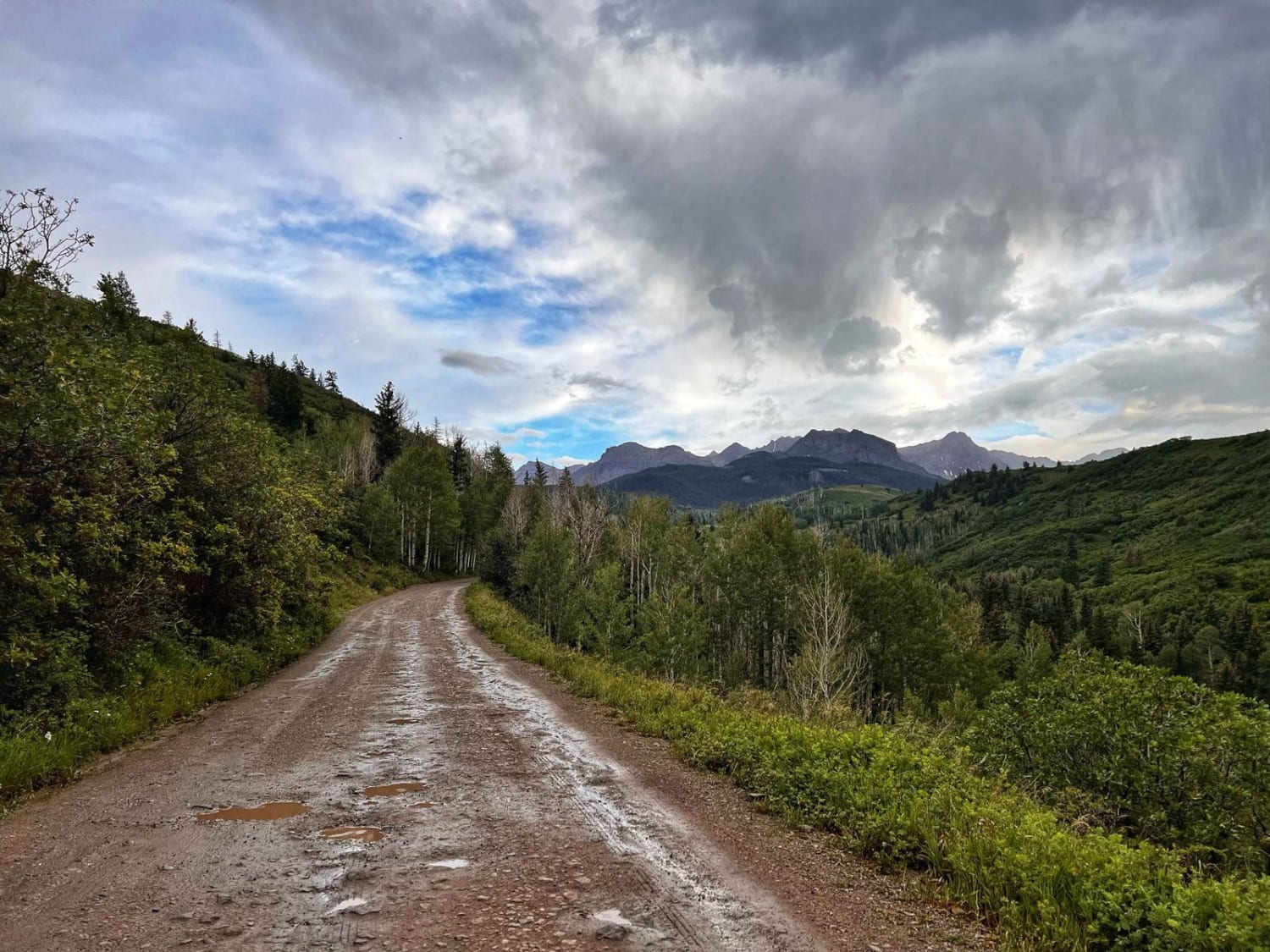
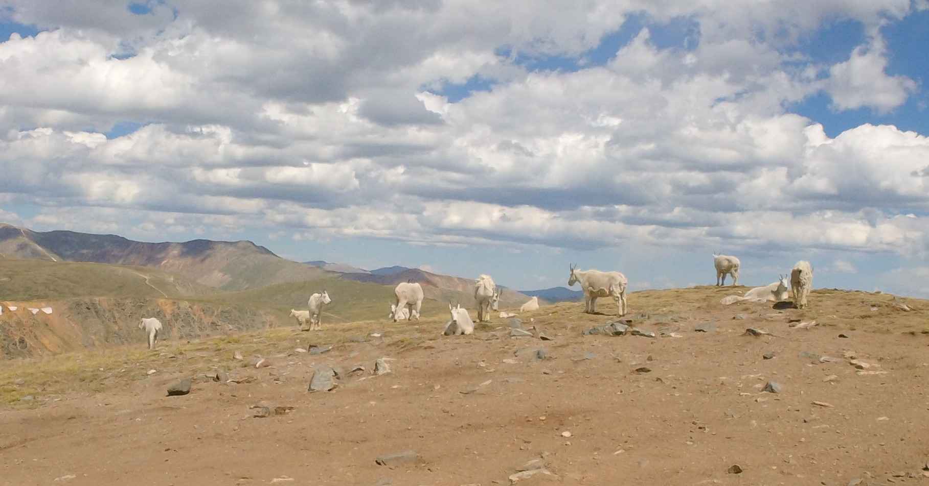
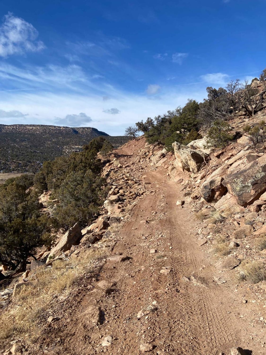
Easy wide dirt trail mostly through private property with access to National Forest land and dispersed camping at the end. The first third of the trail is a smooth dirt road that can get muddy and slick when wet after a rain storm. Higher up, the trail gets bumpy with a more rocky road surface, but nothing challenging. Any 2WD passenger car can easily make it. The last part of the trail, close to the national forest access, has many large potholes, and the drive is slow going. However, the views of the mountains are stunning and well worth the trip up. There is a wide-open valley at the trail's end with lots of dispersed camping. A few nice spots are right on a river. There is also a popular hiking trail at the end. However, this road would have no winter maintenance but appears to be open to snowmobiles. There is no cell service on this trail.
Photos of East Dallas Trail
Difficulty
Mostly easy, room to pass oncoming, lots of potholes, can be muddy when wet.
Status Reports
East Dallas Trail can be accessed by the following ride types:
- High-Clearance 4x4
- SUV
- SxS (60")
- ATV (50")
- Dirt Bike
East Dallas Trail Map
Popular Trails
Middle Swan Road - FS 6.2
BLM Route 31
Lower Section of East Fork San Juan River Rd-Fr 667
The onX Offroad Difference
onX Offroad combines trail photos, descriptions, difficulty ratings, width restrictions, seasonality, and more in a user-friendly interface. Available on all devices, with offline access and full compatibility with CarPlay and Android Auto. Discover what you’re missing today!