SOB Hill
Total Miles
4.8
Technical Rating
Best Time
Summer, Fall
Trail Type
High-Clearance 4x4 Trail
Accessible By
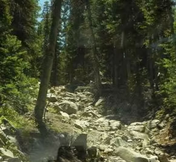
Trail Overview
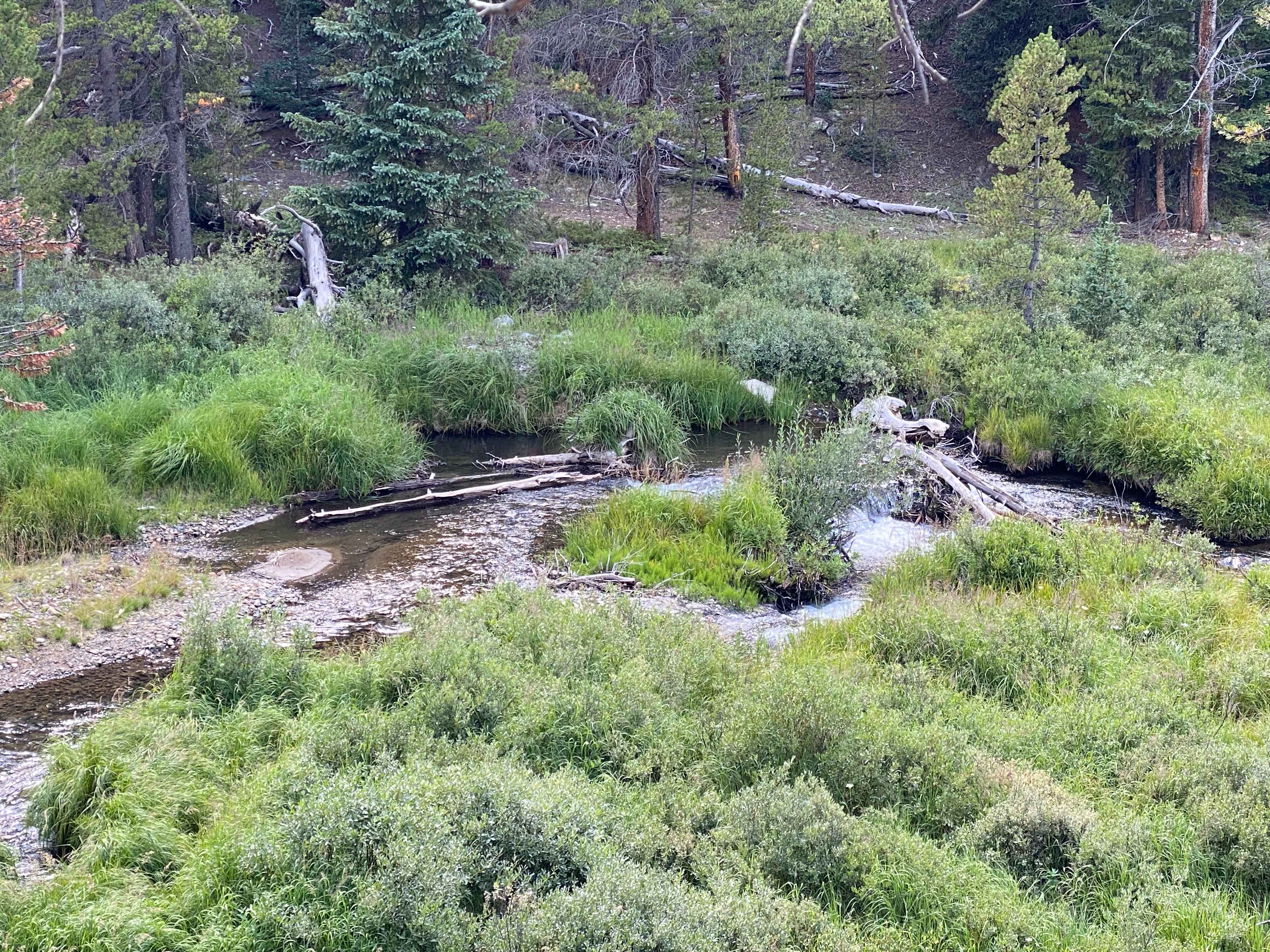
This Jeep trail is named after the difficult obstacle at the bottom of the climb up from the Middle Fork of Swan River to Georgia Pass and Glacier Ridge. The obstacle is about 150 yards of different-sized rocks in loose dirt up a steep climb. It is difficult when dry and extremely difficult when wet. There is a somewhat easier bypass.
Photos of SOB Hill
Difficulty
This trail has large rocks and difficult obstacles.
Status Reports
SOB Hill can be accessed by the following ride types:
- High-Clearance 4x4
- SxS (60")
SOB Hill Map
Popular Trails
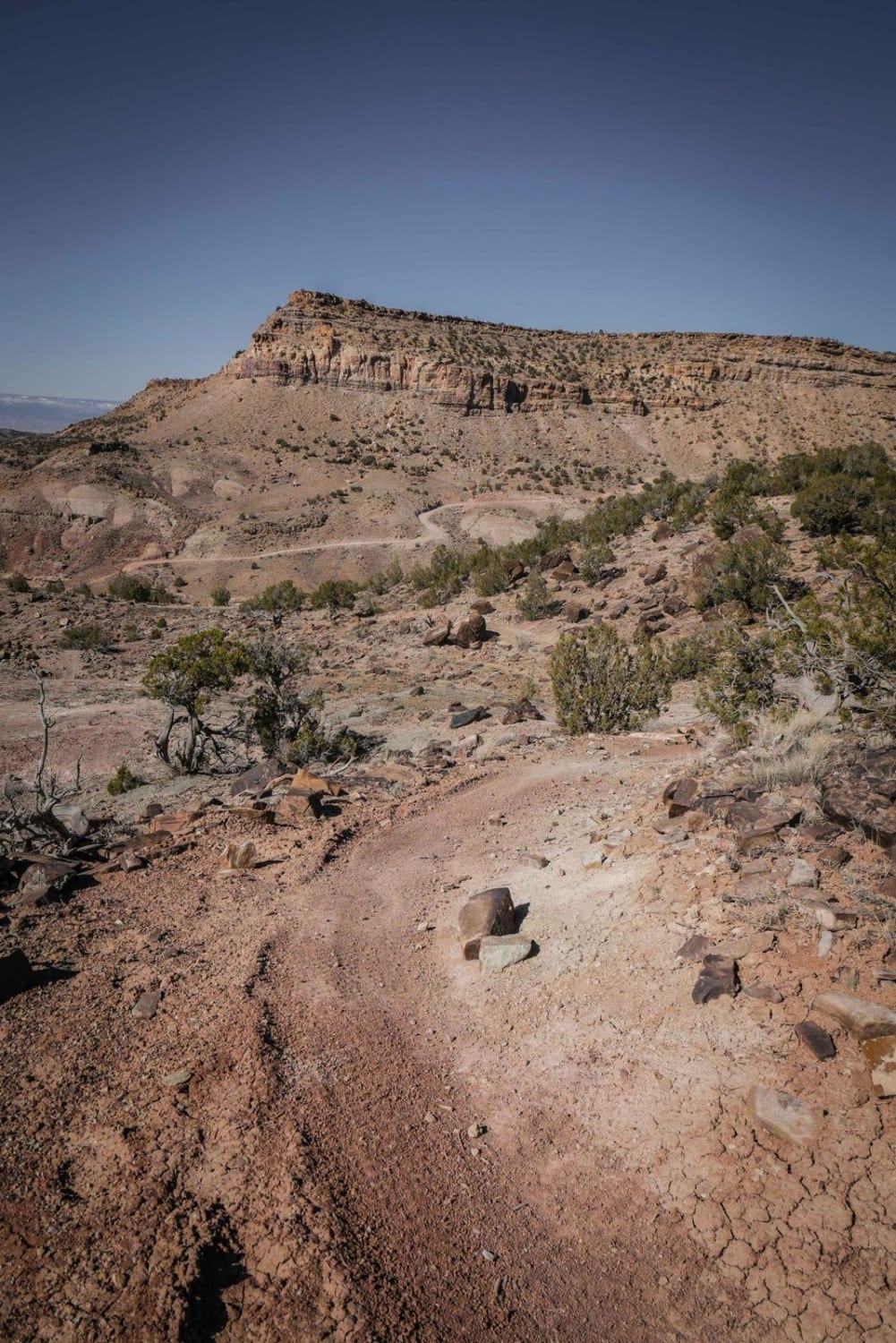
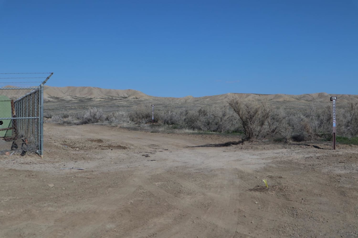
BLM Route 174
Tin Cup Lily Pond Loop
The onX Offroad Difference
onX Offroad combines trail photos, descriptions, difficulty ratings, width restrictions, seasonality, and more in a user-friendly interface. Available on all devices, with offline access and full compatibility with CarPlay and Android Auto. Discover what you’re missing today!