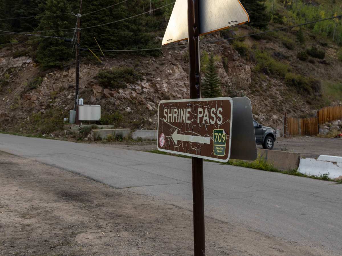
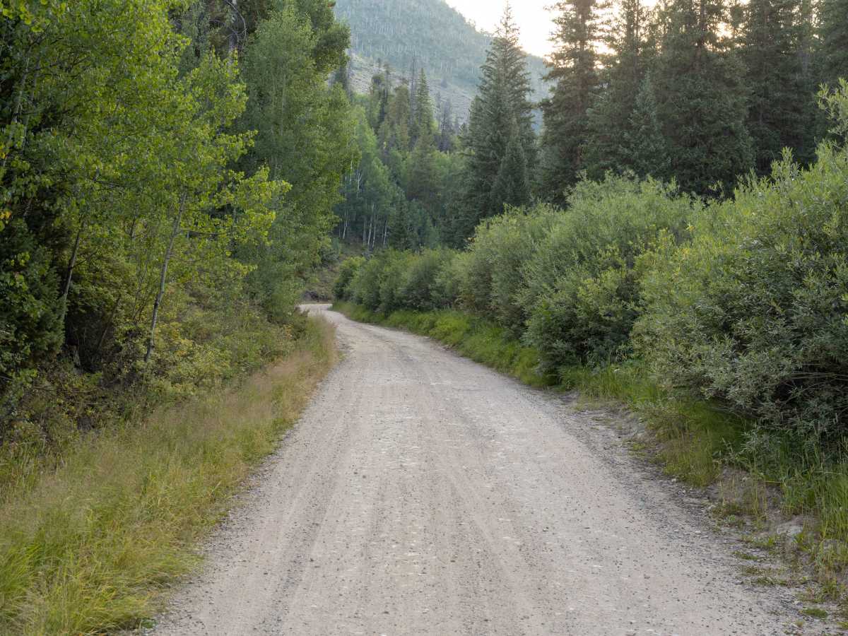
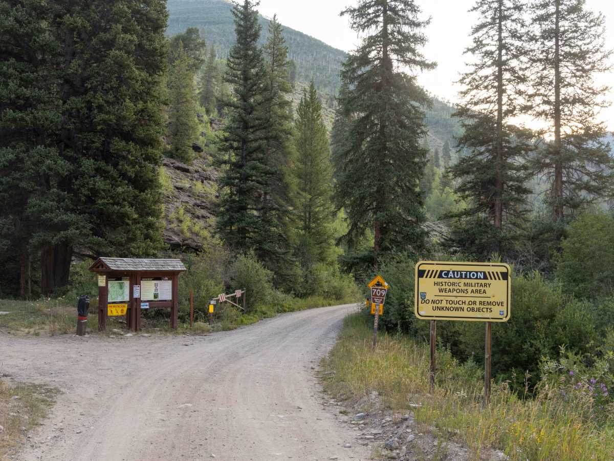
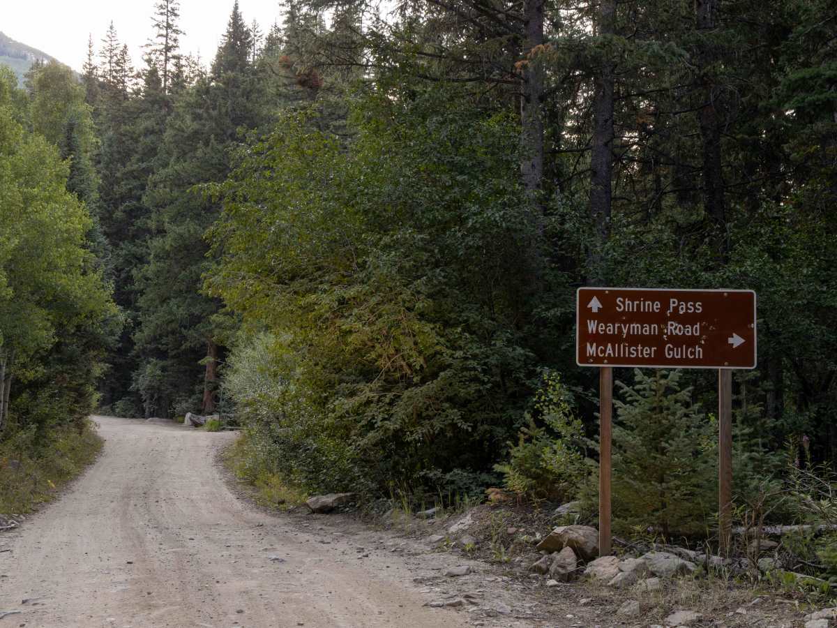
Trail Overview
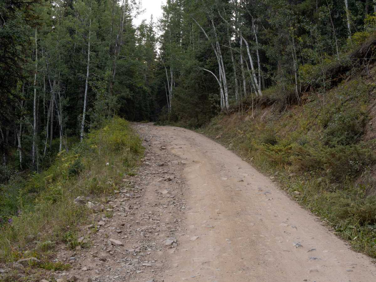
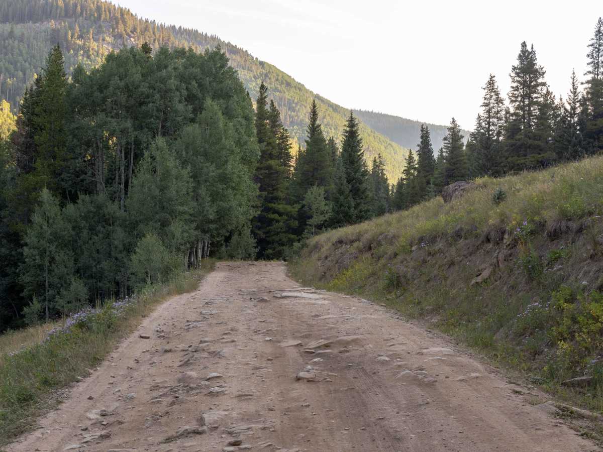
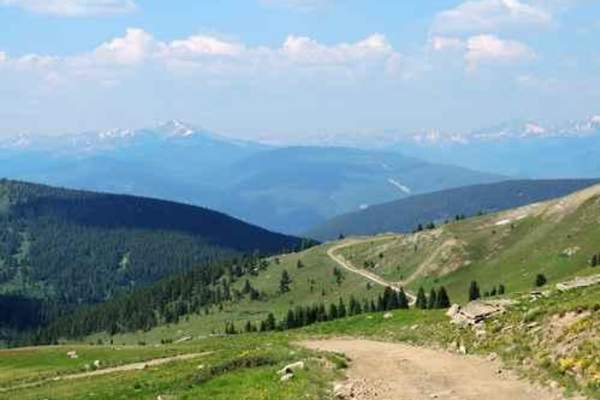
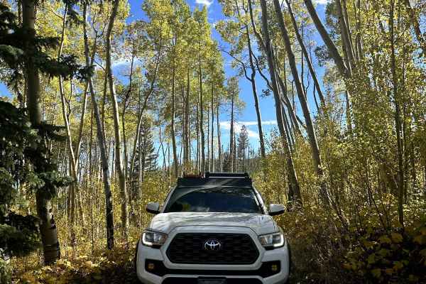
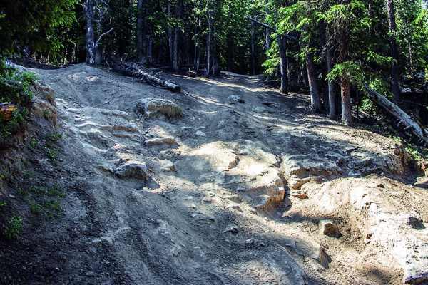
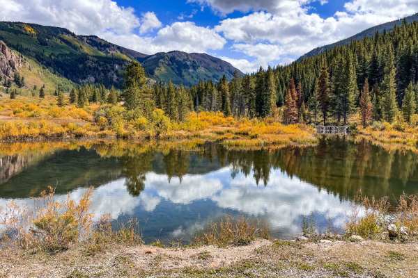
Shrine Pass Road offers an approachable backcountry drive with no major obstacles, making it a favorite for those seeking high-alpine scenery without technical challenges. The road includes some rocky sections, but the route mellows as you approach the summit, providing a comfortable ride for most high-clearance vehicles. Dispersed camping can be found along the way, and several hiking trailheads branch off the pass—many equipped with trailhead restrooms for added convenience. The road eventually connects to Vail Pass off I-70, making it an accessible yet scenic detour.
History
Shrine Pass was once used as the main wagon route between Red Cliff and Vail before modern highways cut through the Rockies. Its name comes from the striking views of Mount of the Holy Cross, a 14,000-foot peak whose snowy cross-shaped couloir is visible from the summit. In summer, the area bursts with colorful wildflowers across open alpine meadows, while fall brings golden groves of aspen along the lower slopes. Panoramic views extend across the Gore Range and the Sawatch Range, offering some of the most picturesque scenery along the I-70 corridor.