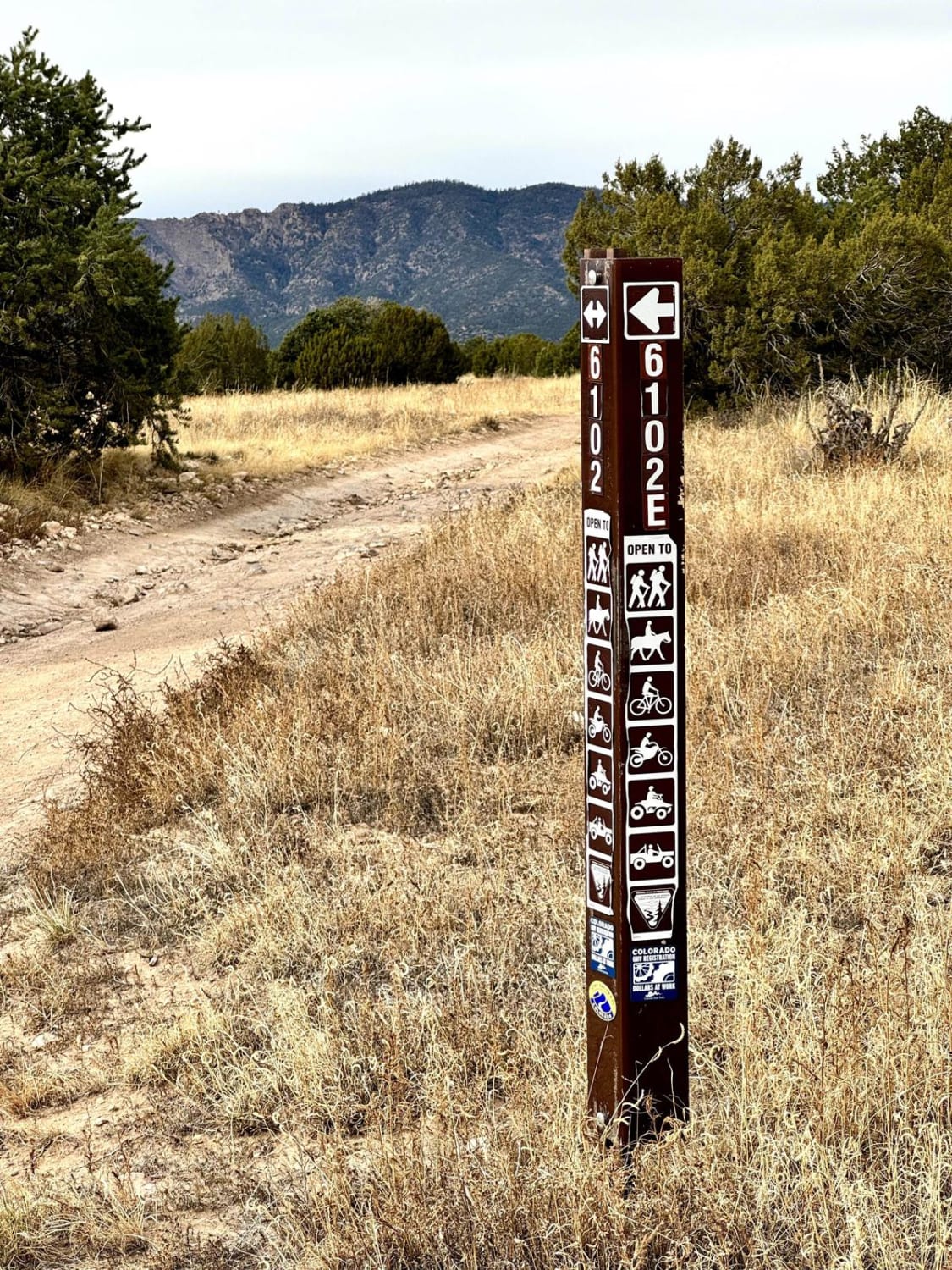
Penrose Commons BLM 6102E
Total Miles
1.3
Technical Rating
Best Time
Spring, Fall, Winter
Trail Type
Full-Width Road
Accessible By
Trail Overview
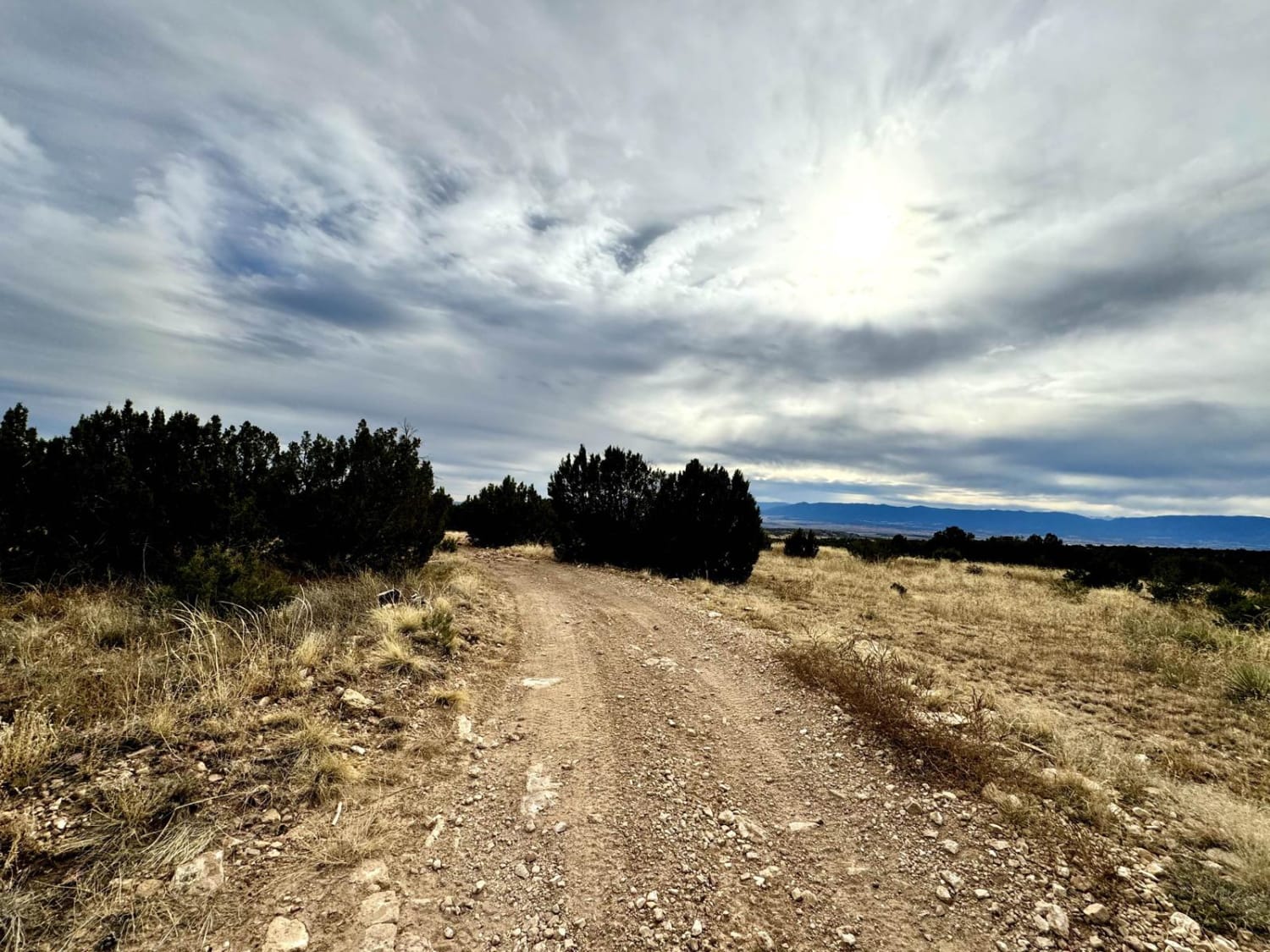
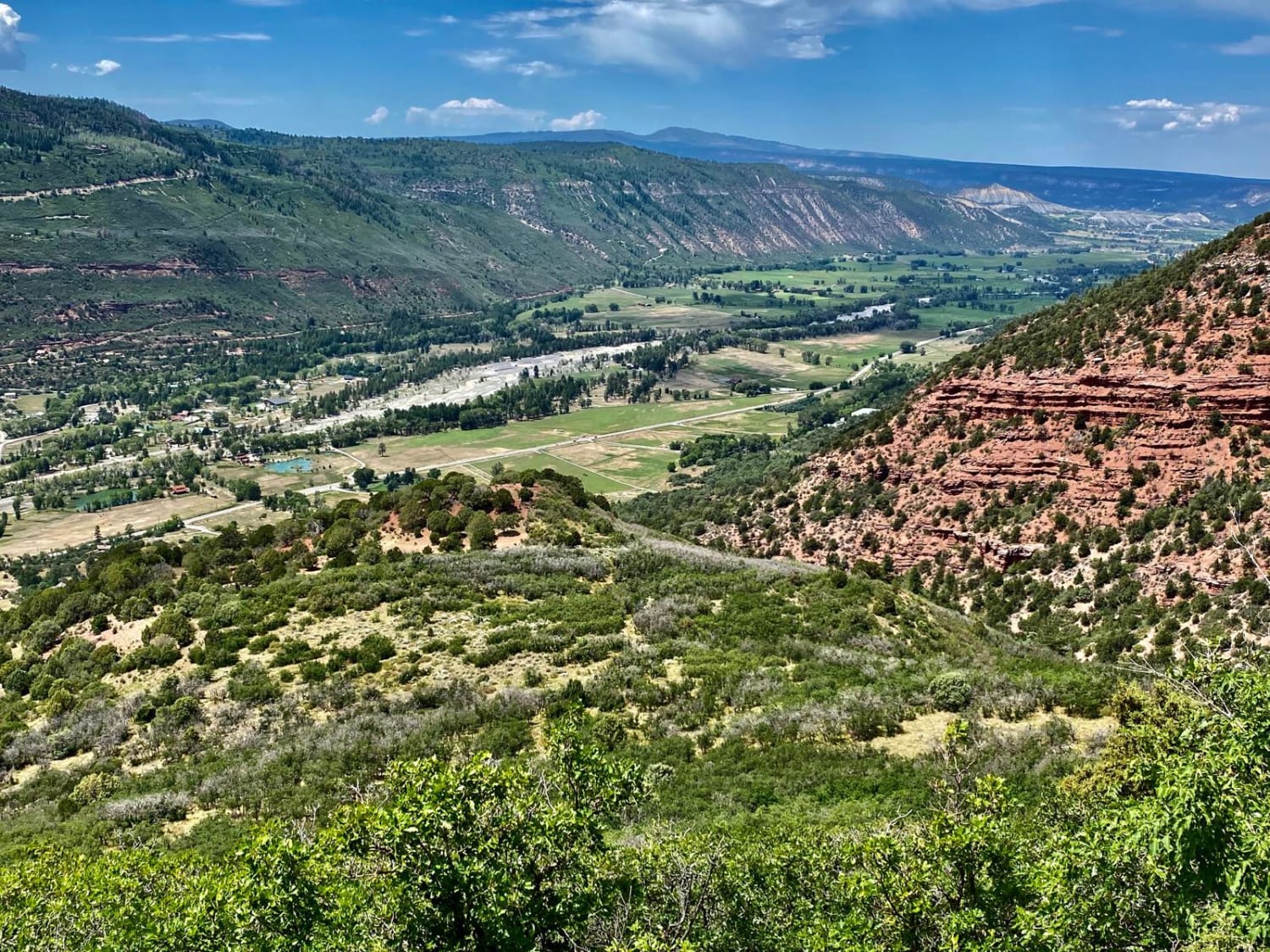
Penrose Commons OHV Trail 6102E is a trail that runs north/south through the middle of the Penrose Commons OHV recreational site. The majority of the trail traverses along the top edge of a valley overlooking the scenic cliffs of Patton Canyon and Beaver Creek. Enjoy panoramic views, including the Sangre De Cristo Mountain Range. The trail traverses through pinon and juniper trees as well as the occasional deer sighting. Penrose Commons offers dispersed camping, vault toilets, decent cell service, and a spacious staging area at the trailhead. The trails are also used for ATVs, dirt bikes, and horseback riding. It's open year-round but is subject to closure during wet weather conditions.
Photos of Penrose Commons BLM 6102E
Difficulty
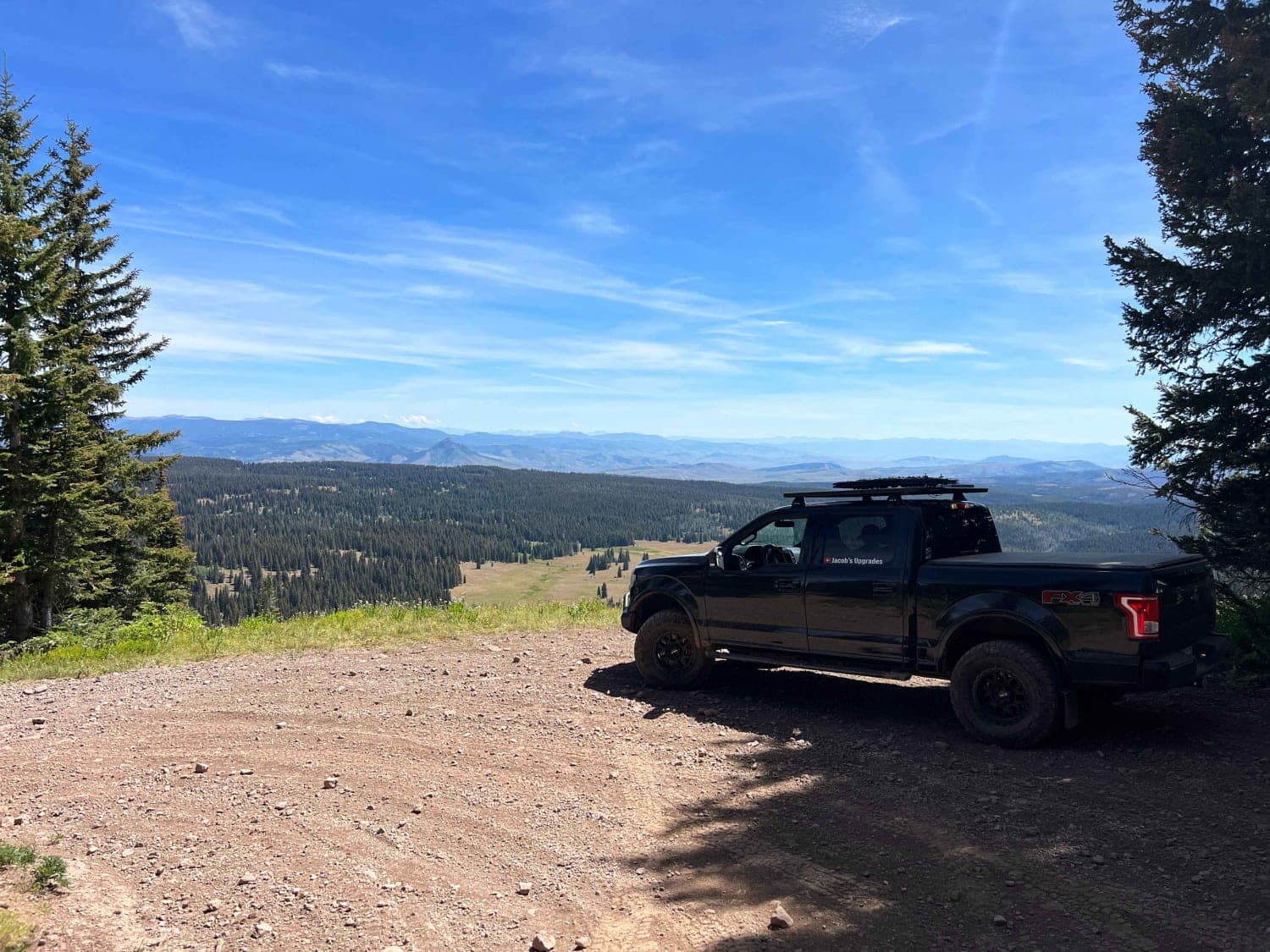
This section in Penrose Commons is a relatively easy dirt and rocky road with some narrow sections that lead to a scenic overlook.
History
This is a site of the historic Schaeffer Dam collapse in June 1921, when heavy rains caused a crack in the dam's foundation that led to its subsequent collapse, releasing massive amounts of water and flooding the towns of Penrose and Pueblo, Colorado.
Status Reports
Penrose Commons BLM 6102E can be accessed by the following ride types:
- High-Clearance 4x4
- SUV
- SxS (60")
- ATV (50")
- Dirt Bike
Penrose Commons BLM 6102E Map
Popular Trails
Treasure Creek - FSR 243
Culver Creek - Cty Rd 14A
Radial Mountain Trail
The onX Offroad Difference
onX Offroad combines trail photos, descriptions, difficulty ratings, width restrictions, seasonality, and more in a user-friendly interface. Available on all devices, with offline access and full compatibility with CarPlay and Android Auto. Discover what you’re missing today!
