Gunnison Gorge South River Road
Total Miles
4.4
Technical Rating
Best Time
Spring, Summer, Fall
Trail Type
Full-Width Road
Accessible By
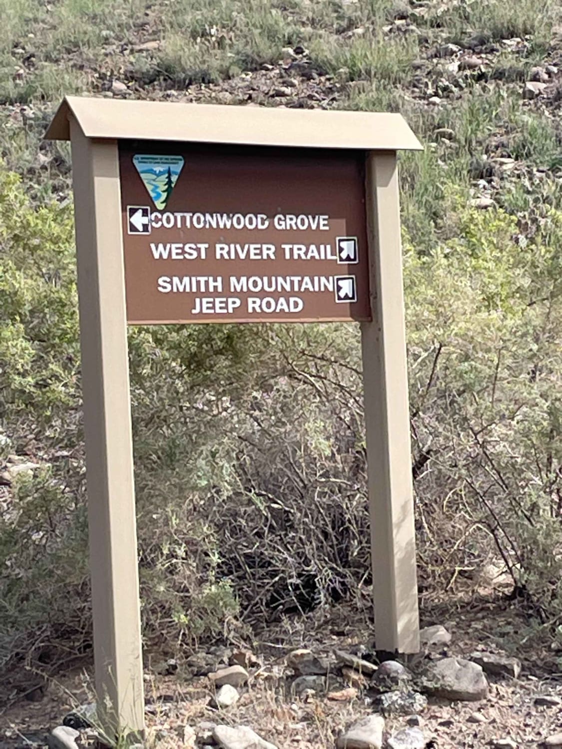
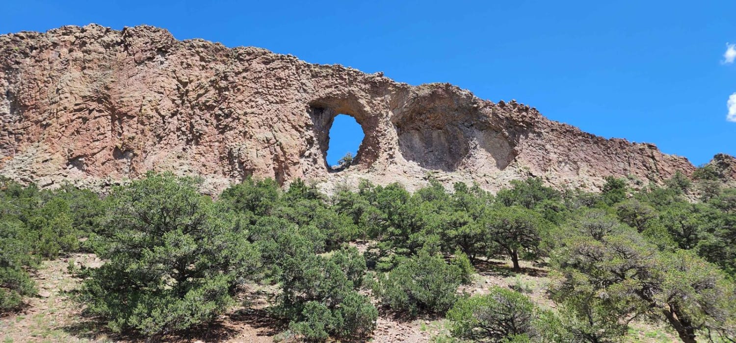
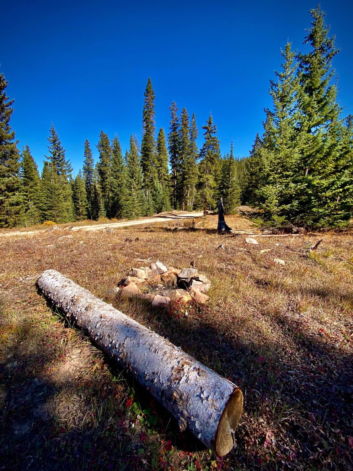
Trail Overview
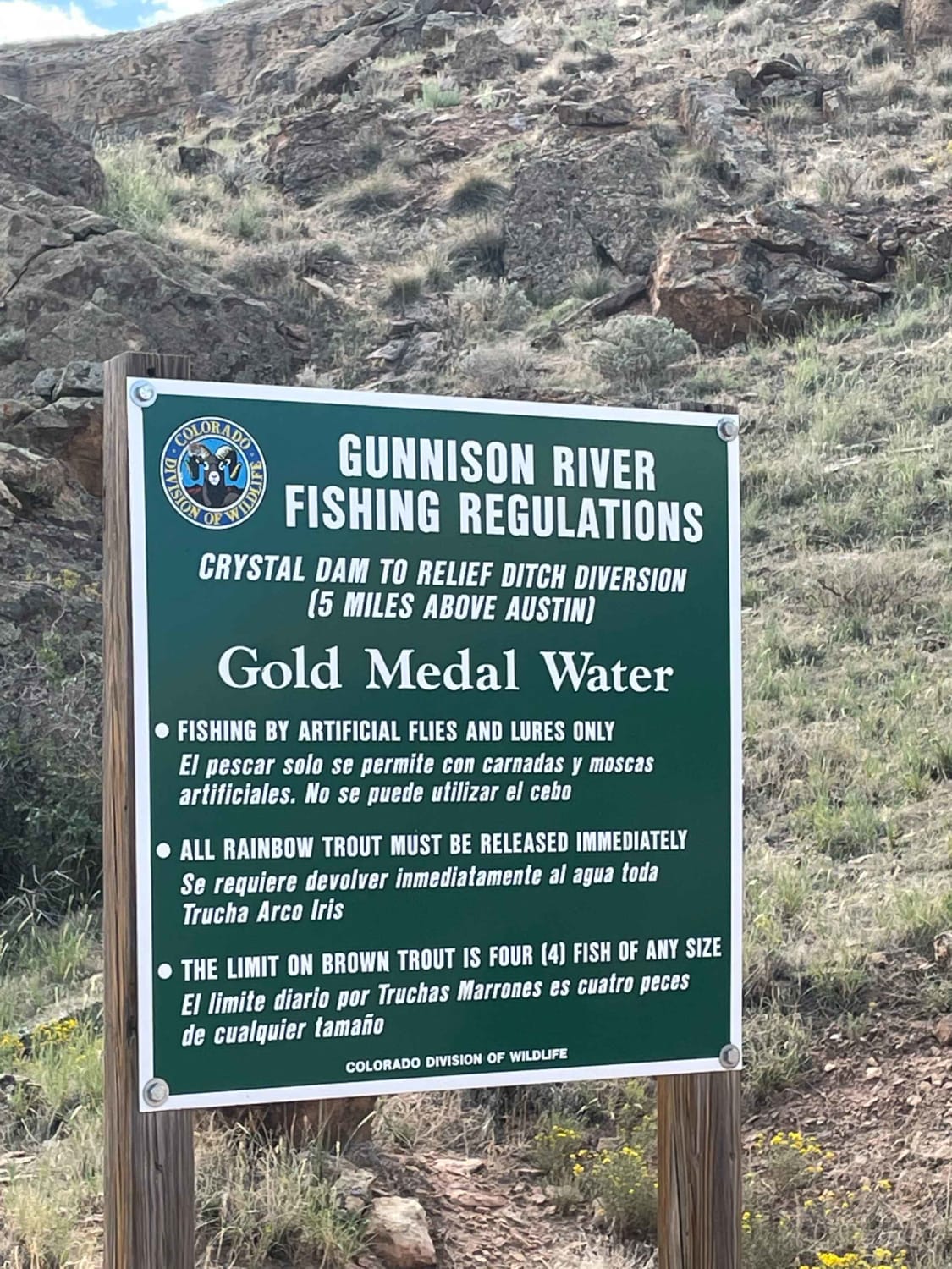
Just outside of Delta Colorado, inside Gunnison Gorge National Conservation Area you'll find a beat up gravel road that leads you down to the Gunnison river. Most SUV's and trucks will not have an issue navigating the narrow steep road down to the river floor. Once down on the river, you'll have a vast amount of activities to choose from like camping at Cottonwood Grove or hiking up many old trails.
Photos of Gunnison Gorge South River Road
Difficulty
Road down to the river is narrow and rocky
Status Reports
Gunnison Gorge South River Road can be accessed by the following ride types:
- High-Clearance 4x4
- SUV
- SxS (60")
- ATV (50")
- Dirt Bike
Gunnison Gorge South River Road Map
Popular Trails
Lake Evelyn Road - FS 136
Miners Creek Road
Hillside Drive
The onX Offroad Difference
onX Offroad combines trail photos, descriptions, difficulty ratings, width restrictions, seasonality, and more in a user-friendly interface. Available on all devices, with offline access and full compatibility with CarPlay and Android Auto. Discover what you’re missing today!