Williams Peak Road
Total Miles
11.6
Technical Rating
Best Time
Summer, Fall
Trail Type
Full-Width Road
Accessible By
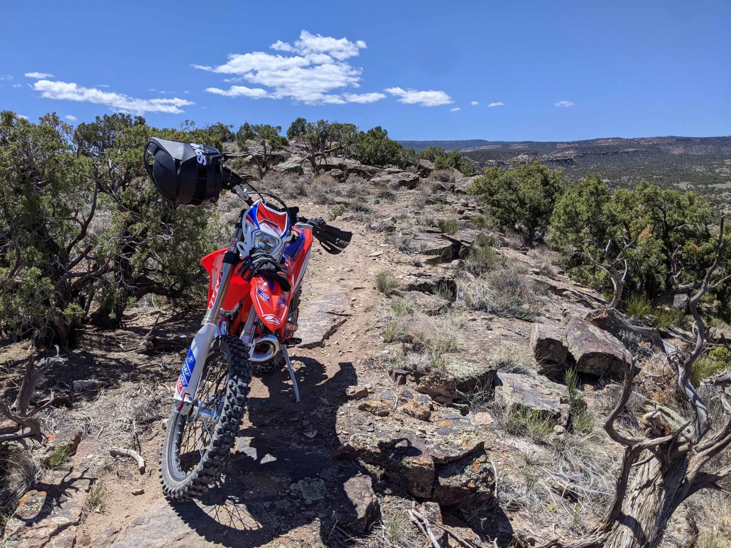
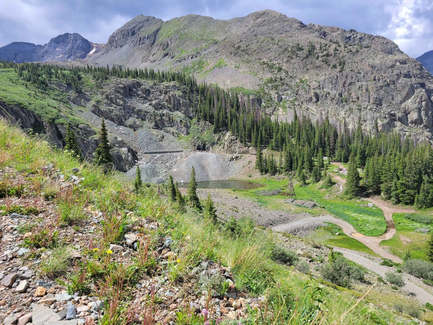
Trail Overview
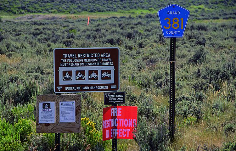
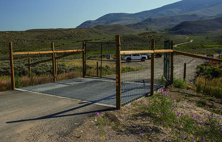
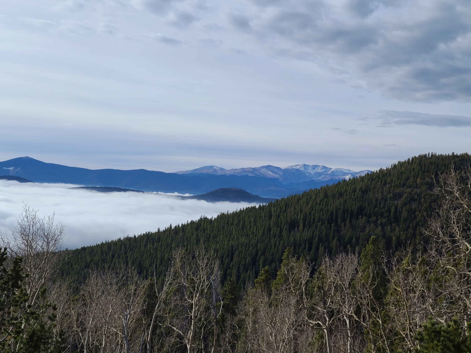
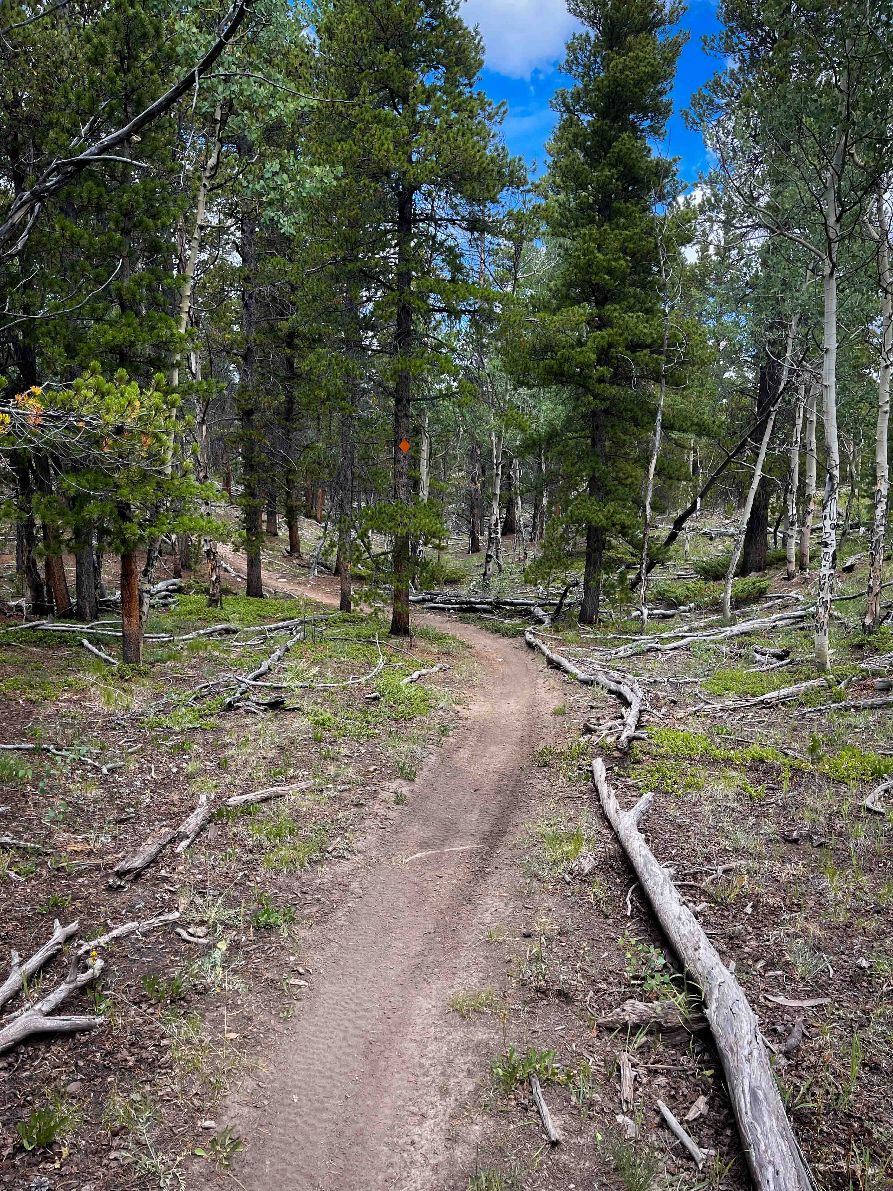
This trail takes you up along a high ridge with amazing views of the valley and reservoir below. The top section has dispersed camping available set back in the trees, and if you're lucky you can get one with a view. ATVs and dirt bikes will love this trail, but there aren't too many side roads in the area. Open June 15 to November 15.
Photos of Williams Peak Road
Difficulty
Easy. Starts with rocky, rutted section that can be impassable when wet. Once on top, road levels out and is relatively smooth. Road narrows to one lane after Williams Peak.
Status Reports
Williams Peak Road can be accessed by the following ride types:
- High-Clearance 4x4
- SUV
- SxS (60")
- ATV (50")
- Dirt Bike
Williams Peak Road Map
Popular Trails
Yankee Hill / Mosquito Creek
Windmill Loop Single Track
Arrastra Gulch to Little Giant Basin
The onX Offroad Difference
onX Offroad combines trail photos, descriptions, difficulty ratings, width restrictions, seasonality, and more in a user-friendly interface. Available on all devices, with offline access and full compatibility with CarPlay and Android Auto. Discover what you’re missing today!