Mesa County Road 25
Total Miles
6.9
Technical Rating
Best Time
Fall, Summer, Spring
Trail Type
Full-Width Road
Accessible By
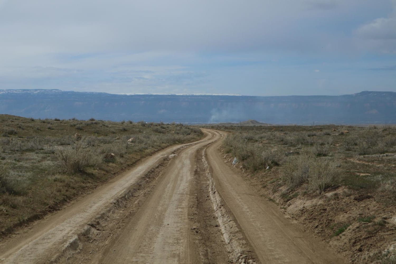
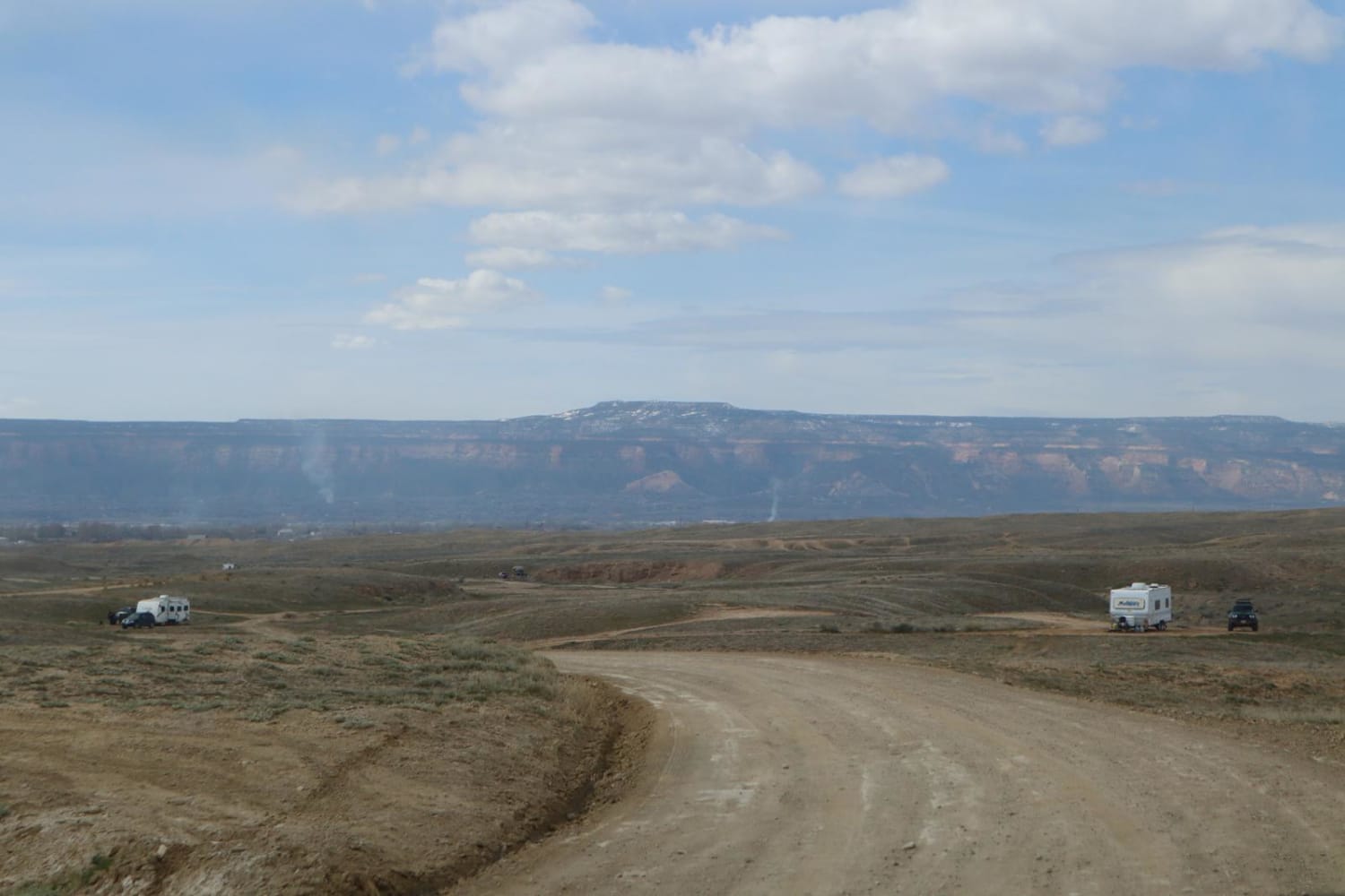
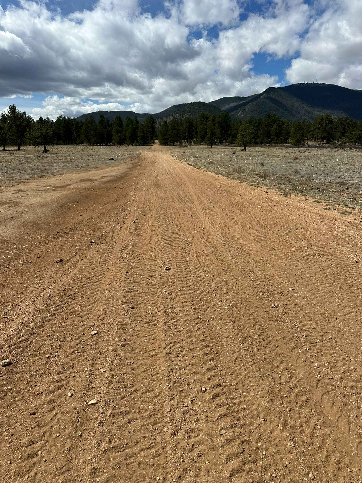
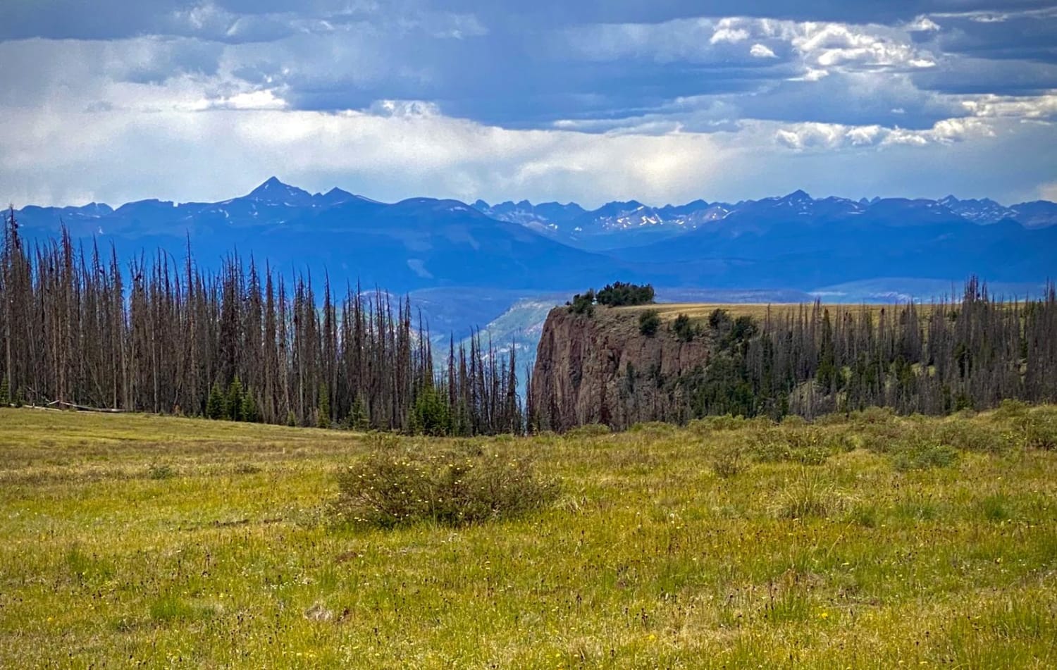
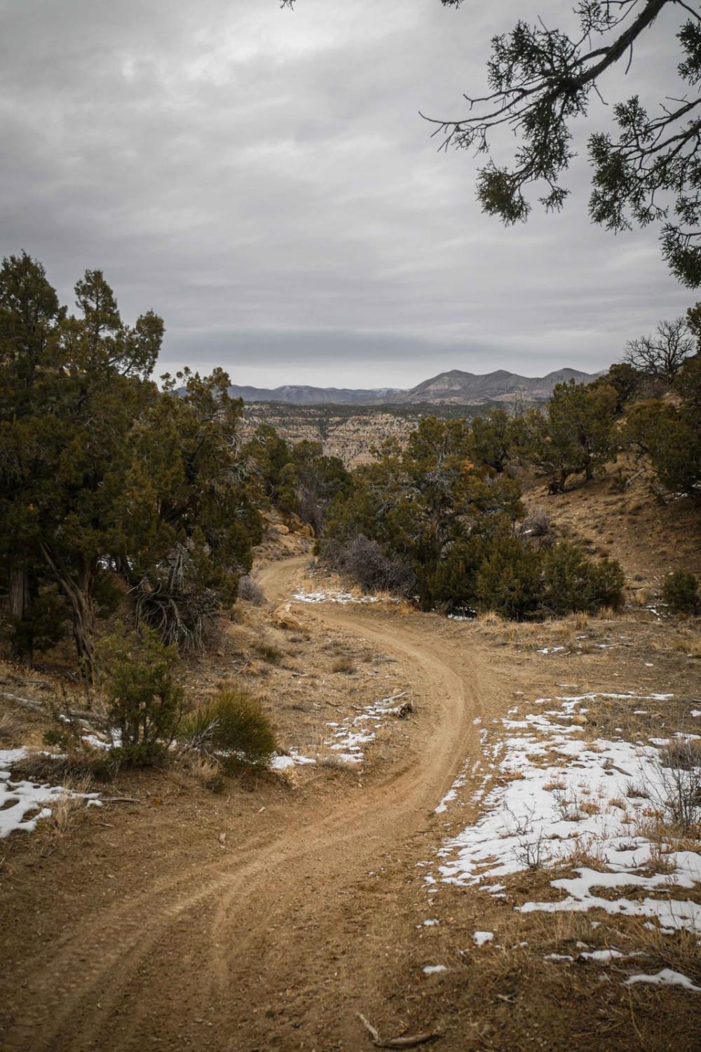
Trail Overview
A good resource for dispersed camping in the Grand Junction Area. There is a vast network of offshoots and alternate routes in this BLM area. Monitoring weather conditions prior to arrival is recommended. Use previously disturbed areas only. Pack out what you pack in. High clearance is recommended toward the end of this route.
Photos of Mesa County Road 25
Difficulty
The trail is mostly loose gravel. There are some large ruts and rocks as you get near the end of the trail.
Status Reports
Mesa County Road 25 can be accessed by the following ride types:
- High-Clearance 4x4
- SUV
- SxS (60")
- ATV (50")
- Dirt Bike
Mesa County Road 25 Map
Popular Trails
Waterboard Rd - FS 128
Bristol Head - MF 532
The onX Offroad Difference
onX Offroad combines trail photos, descriptions, difficulty ratings, width restrictions, seasonality, and more in a user-friendly interface. Available on all devices, with offline access and full compatibility with CarPlay and Android Auto. Discover what you’re missing today!