10 trails found in New Mexico
Which "mill road" are you looking for?
We found 10 off-road trails in New Mexico matching your search. Pick the one you're looking for below.
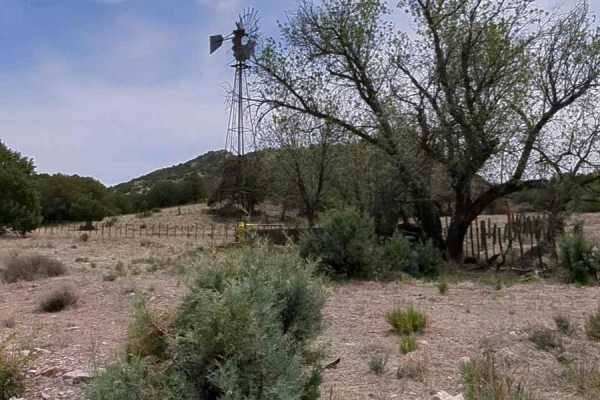
Knight Canyon Road to Mill Canyon Road
This 7.3 mile trail begins at FS 861 (Knight Canyon Road) and US 90. The trail begins on a 2-track, full size sandy dirt road that climbs gently up to the first gate. You'll continue along Knight Canyon as it winds through a wide sandy wash. Along the way, you will pass a windmill and an incredibly ...
Learn more about Knight Canyon Road to Mill Canyon Road
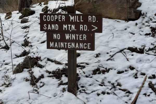
Cooper Mill Road
Cooper Mill Road is a graded gravel road. It is an easy ride in the summer months, however, there is no winter maintenance. During times of rain, snow, and ice the road will become harder to travel on. Cooper Mill Road is within Bald Eagle State Forest. The Mountain Overlook is along Cooper Mill Roa...
Learn more about Cooper Mill Road
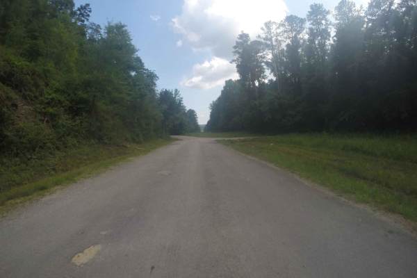
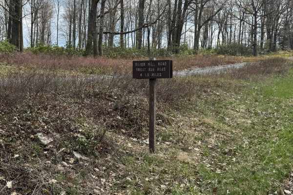
Manning Mill Road - Forest Road 227
This out-and-back trail is typical of those found in the Chattahoochee National Forest, following a mostly gravel road with some dirt and muddy sections. While generally maintained, drivers should expect occasional ruts and minor washouts. It's a single-lane route with multiple pull-off areas for pa...
Learn more about Manning Mill Road - Forest Road 227
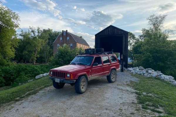
Bollinger Mill Road
The Bollinger Mill Road, also known as Cape Girardeau County Road 360, is a gravel county road that leads to the Bollinger Mill State Historical Site. The gravel road is well maintained but comes full of views and scenery of the farmland neighboring the Mill and Upper Whitewater River, the road come...
Learn more about Bollinger Mill Road
Boyer Mill Road
Boyer Mill Road is primarily a graded gravel road with sections of dirt. It is an easy ride in the summer months, however there is no winter maintenance. During times of rain, snow, and ice the road can become rutted and harder to travel on. Boyer Mill Road is within Tiadaghton State Forest. Boyer M...
Learn more about Boyer Mill Road
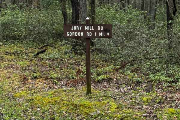
Jury Mill Road
Jury Mill Road is primarily a graded gravel road. It is a short road that connects the dead end of Schofield Road to Kelly Cellar and Gordon Roads. It is an easy ride in the summer months; however, there is no winter maintenance. During times of rain, snow, and ice, the road can become rutted and ha...
Learn more about Jury Mill Road

Mill Branch Road
Mill Branch Road is an out-and-back trail. It ends where the Sproul State Forest stops and private property starts. There is a gate at the end. It is a dirt road that has no winter maintenance. It is rutted and will be challenging in the winter due to snow and ice and in the spring due to the run-of...
Learn more about Mill Branch Road
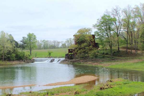
Dillard Mill Road
Dillard Mill Road is a Crawford County gravel road that leads to the Dillard Mill State Historic Site, passing the settlement of Dillard, Missouri, resting along the scenic Huzzah Creek. The road is simple in nature, following a gravel pathway that resonates that this is the way this community has f...
Learn more about Dillard Mill Road
Lower McKay Creek Road to West Fork Mill Creek Road
This route winds through the Ochoco National Forest and is composed mainly of Forest Service roads that are washboarded and rutted. About halfway through the route, you will be following along a creek with downed trees and fallen rocks. With four creek crossings, this is a beautiful route to drive.
Learn more about Lower McKay Creek Road to West Fork Mill Creek Road

Old Mill Road
This is an easy trail which is the gravel section of Old Mill Road between Fox Chapel Road and Indianola Road in Fox Chapel and Indiana Township Pennsylvania in the Northern Greater Pittsburgh Suburbs. The section of Old Mill East of this track is paved. Rawlings Run is also gravel at a T intersecti...
Learn more about Old Mill Road