Sims Mesa/Delores Creek
Total Miles
1.8
Technical Rating
Best Time
Spring, Fall, Summer
Trail Type
Full-Width Road
Accessible By
Trail Overview
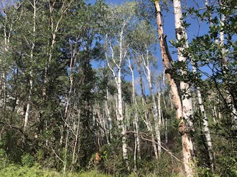
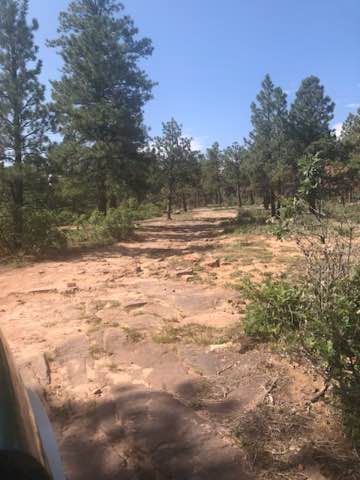
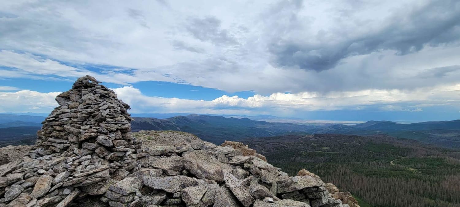
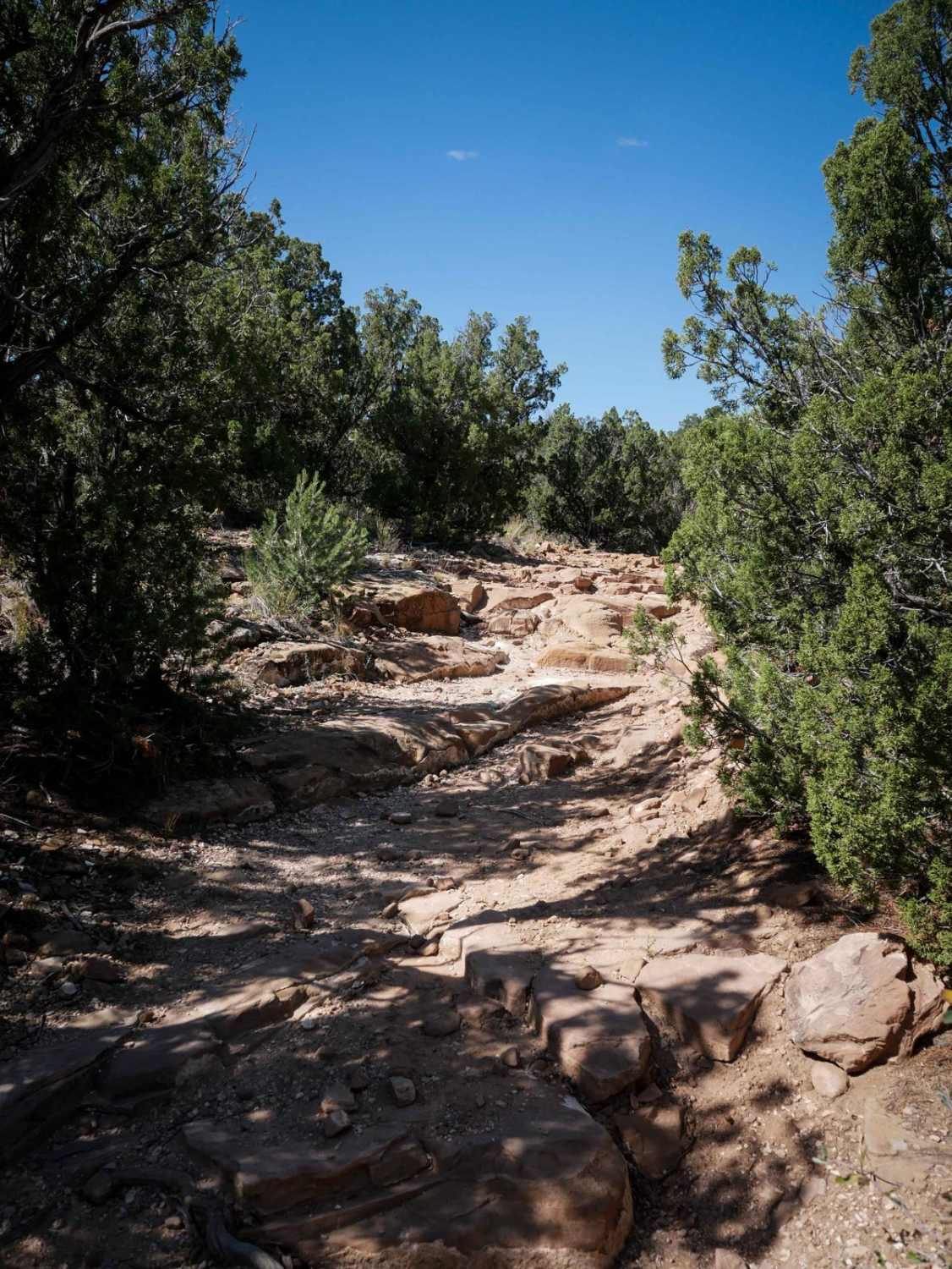
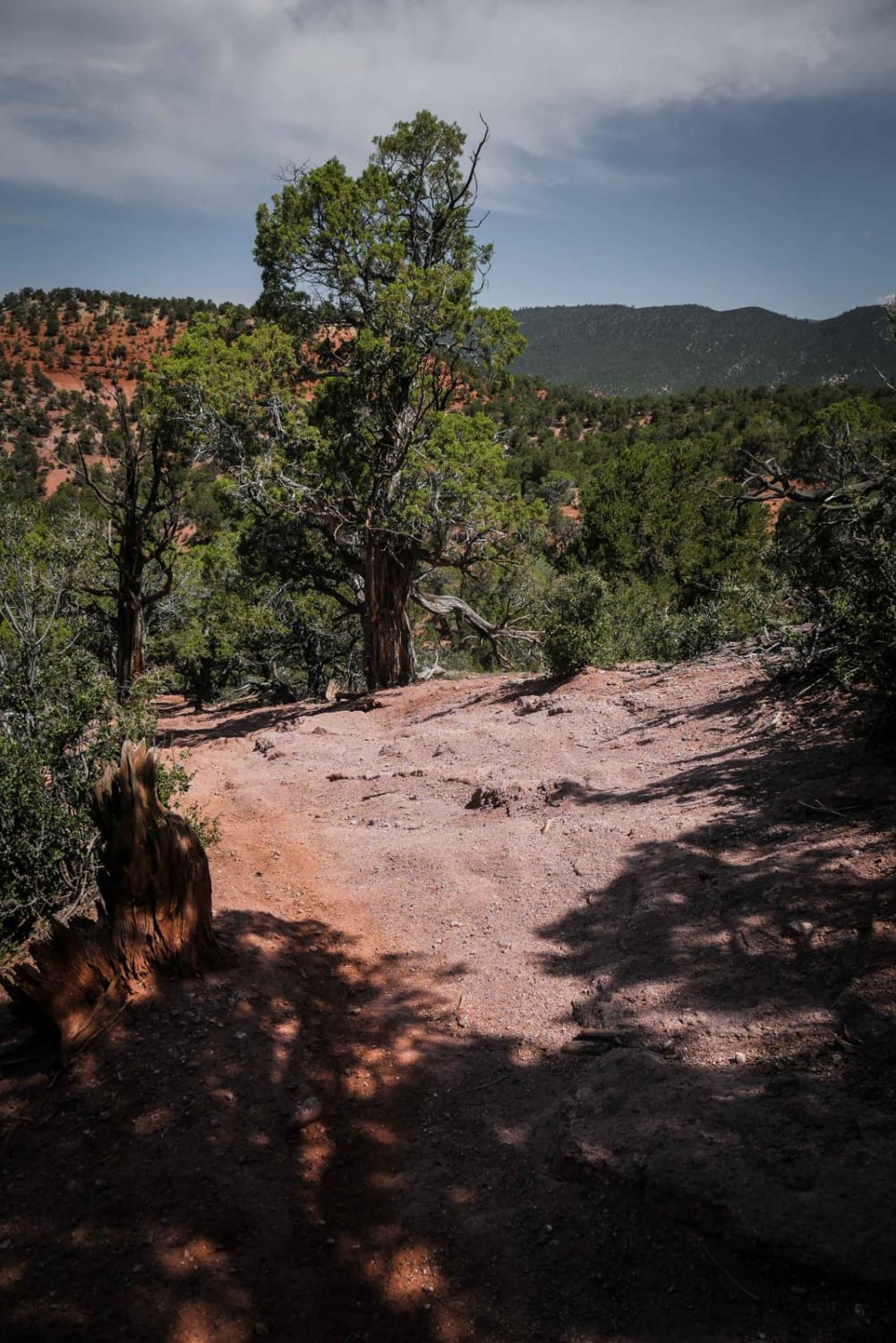
The maintained gravel Sims Mesa Rd offers views of the Uncompaghre River valley. It becomes a rutted unmaintained Forest Service road as it enters the National Forest. Wildflowers and aspen groves line the trail as it turns into Caprock Road leading to Delores Creek which feeds a small, animal-attracting pond.
Photos of Sims Mesa/Delores Creek
Difficulty
This trail starts out as an unmaintained forest service road and turns into a caprock road.
Status Reports
Sims Mesa/Delores Creek can be accessed by the following ride types:
- High-Clearance 4x4
- SUV
- SxS (60")
- ATV (50")
- Dirt Bike
Sims Mesa/Delores Creek Map
Popular Trails
Pinos Creek and Summitville Roads

Missionary Ridge Road
The onX Offroad Difference
onX Offroad combines trail photos, descriptions, difficulty ratings, width restrictions, seasonality, and more in a user-friendly interface. Available on all devices, with offline access and full compatibility with CarPlay and Android Auto. Discover what you’re missing today!