Trail Overview
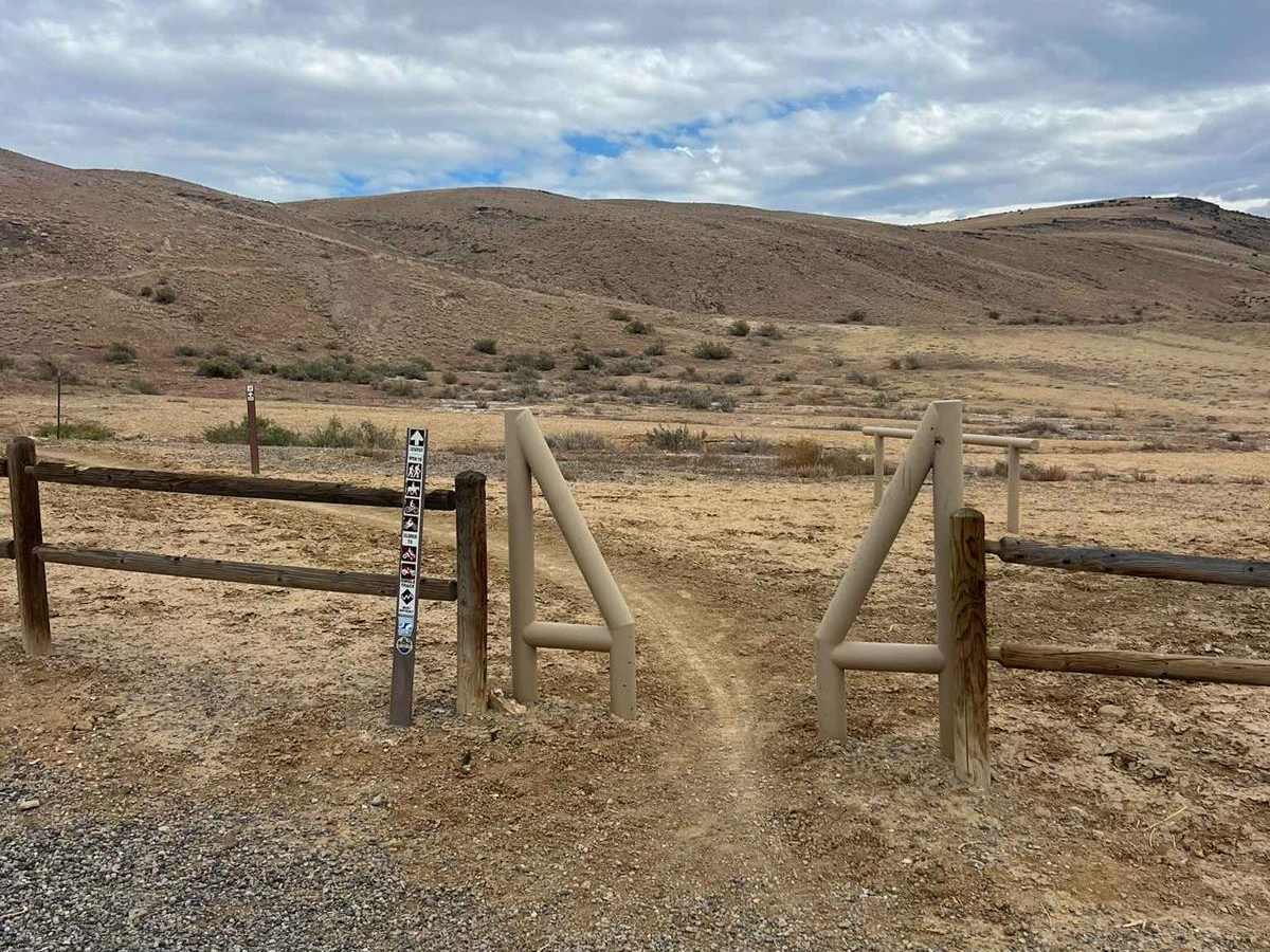
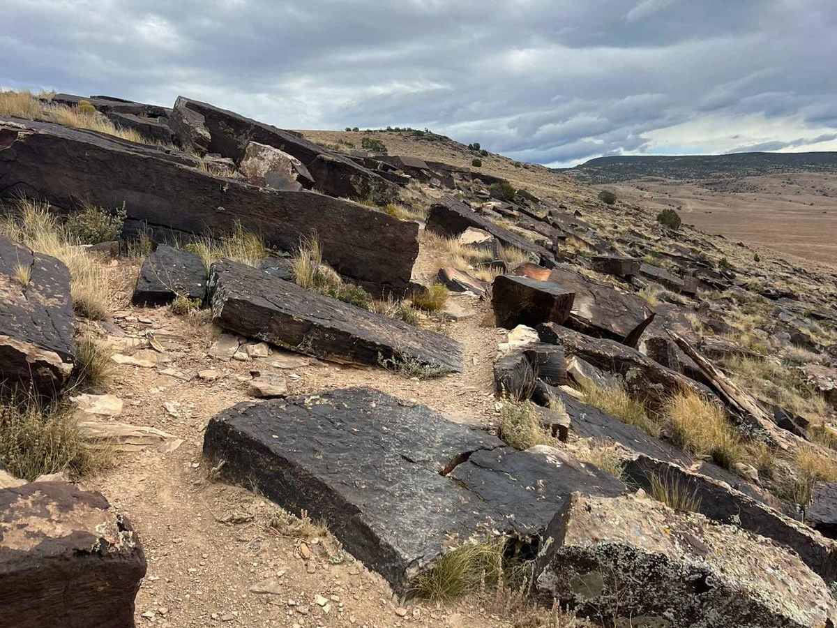
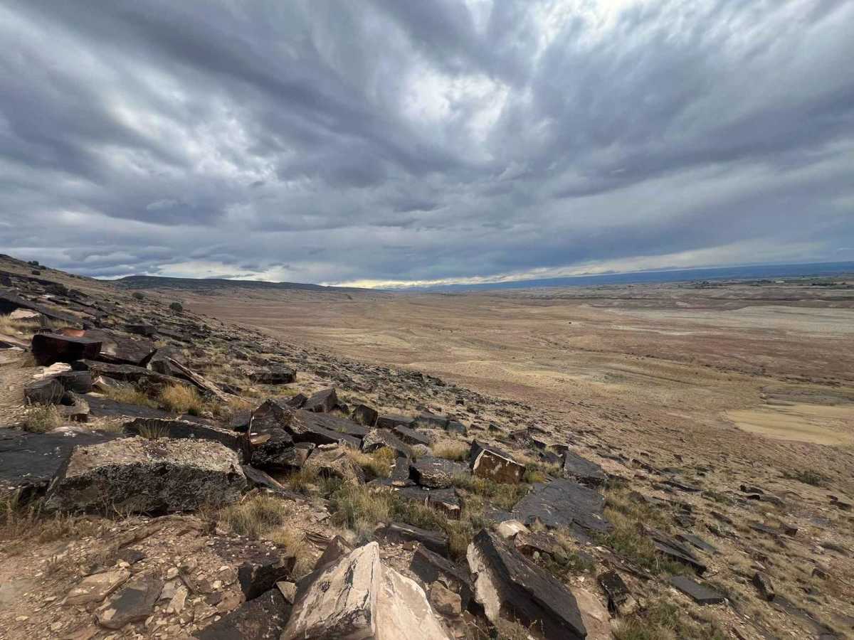
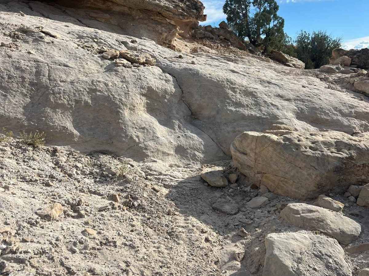
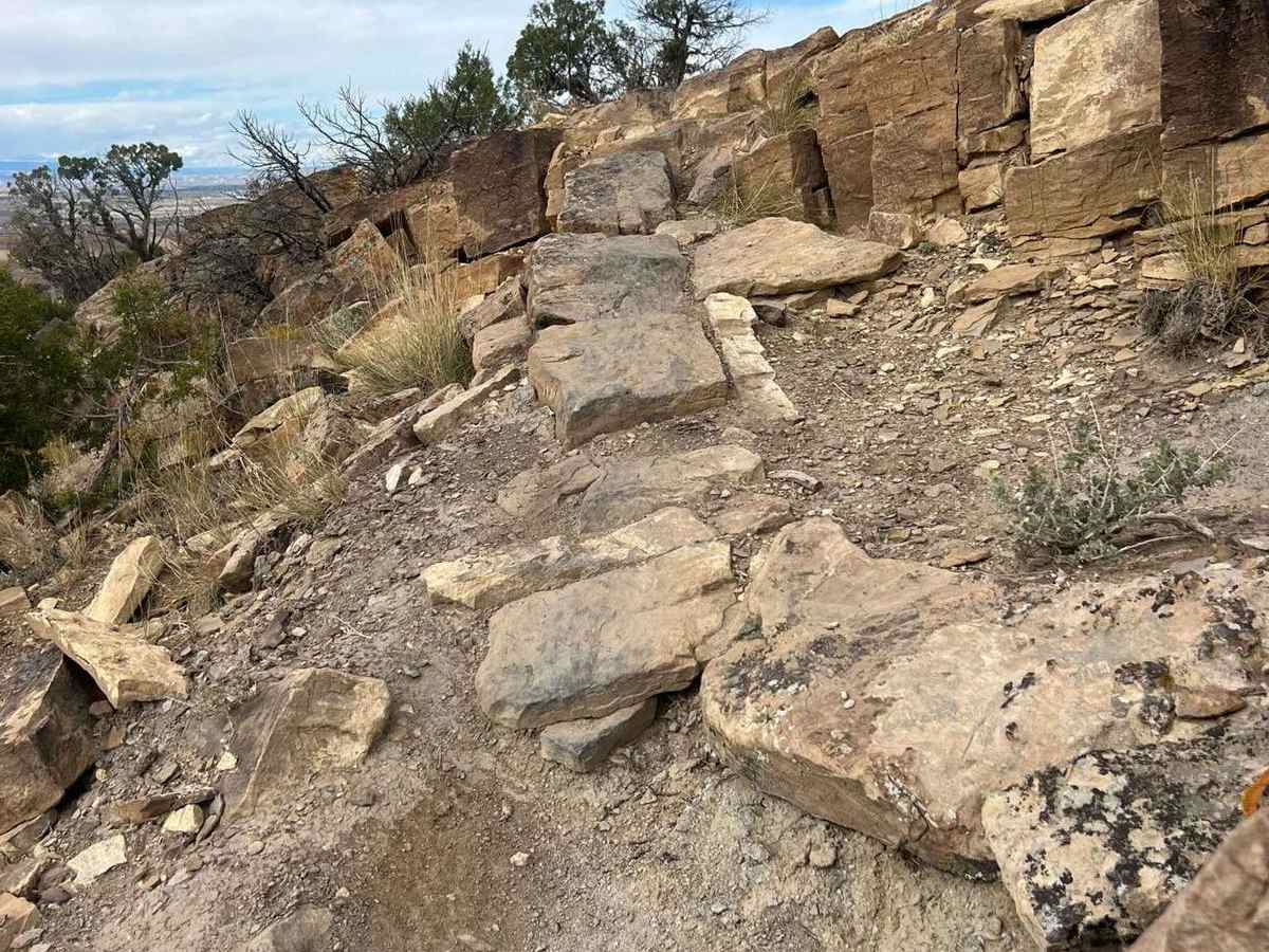
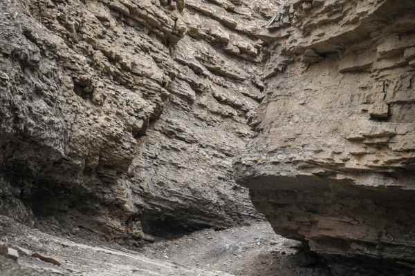
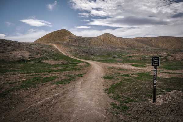
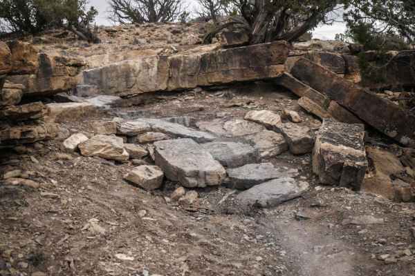
The Sidewinder Trail is a challenging 20-mile technical single-track route located on the western edge of the Gunnison Gorge National Conservation Area. This twisting trail winds through high-desert terrain, showcasing dry washes and rocky slopes adorned with resilient pinon pine and juniper trees. Riders are rewarded with breathtaking views across the valley, where the Uncompahgre Plateau rises majestically, while the jagged peaks of the Sneffels Range frame the southern skyline. To the north, the impressive Grand Mesa, known as the world's largest flat-top mountain, dominates the horizon. Traversing the western slope of a long ridge, the Sidewinder Trail separates the expansive Uncompahgre Valley from the rushing Gunnison River, which carves its way through the dramatic 14-mile Black Canyon of the Gunnison Gorge to the east. If you begin your journey from the southern Peach Valley side, you will encounter an elevation gain of 2,852 feet and an elevation loss of 3,206 feet by the time you reach the northern Delta County endpoint. For those seeking alternative routes, there are several exit points along the way, including Ute, Dinosaur, Duncan, and Bobcat, which connect to Peach Valley Road, providing access to either trailhead. It is advisable to avoid the Sidewinder Trail during inclement weather or if rain is in the forecast, as the trail will become muddy and impassable.
Difficulty
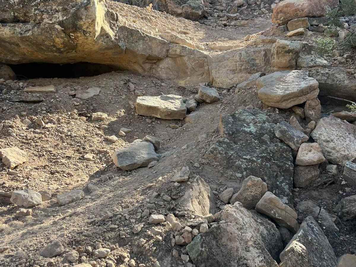
This trail features steep rock sections with rocky step-ups and step-downs, along with bedded and loose rocks. Challenging climbs on rocky hills and off-camber turns add to the technical difficulty, providing significant exposure.
History
Completed in 2010, the Sidewinder Trail was a joint effort by the Bureau of Land Management, local trail groups, and the Western Colorado Conservation Corps to increase Delta County's recreational opportunities.