Sidewinder
Total Miles
1.7
Technical Rating
Best Time
Summer, Fall
Trail Type
High-Clearance 4x4 Trail
Accessible By
Trail Overview
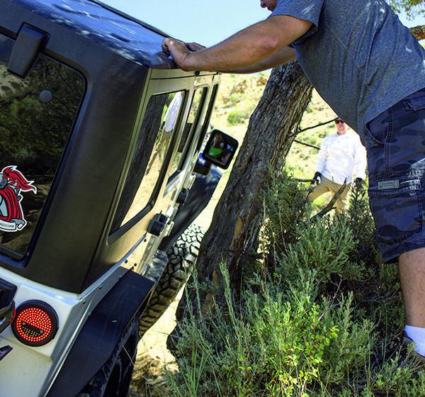
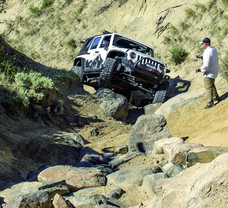
This trail begins at the bottom of a tight ravine with nowhere to turn around. It is one way from bottom to top, and features plenty of obstacles to conquer on your way to the top. There are a lot of nearby trails to play on as well. Closed December 15 to April 15 and when it is too wet to be safe. You'll need an OHV permit even if you have a license plate.
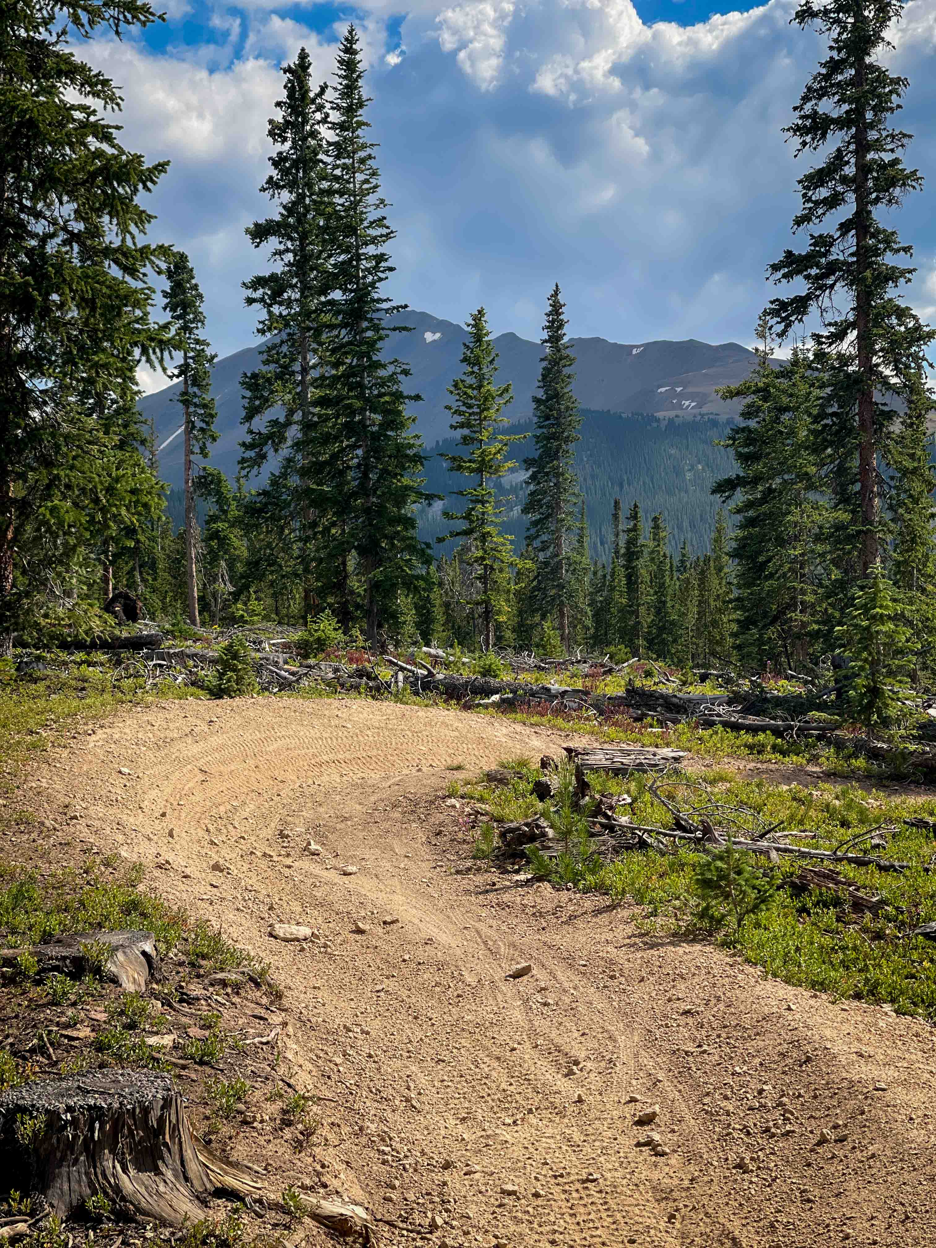
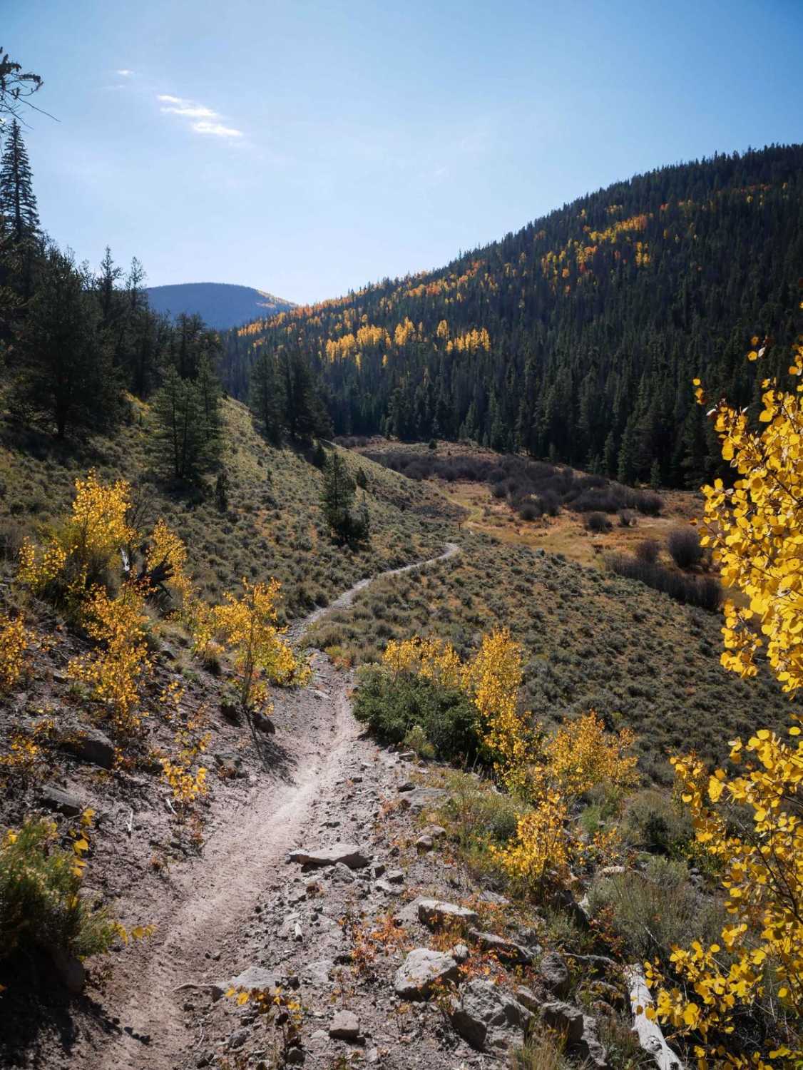
Photos of Sidewinder
Difficulty
Difficult. Attempt only when dry. Obstacles constantly change. We recommend a short wheelbase, minimum 35-inch tires, lockers, winch, skid plates and a spill kit. Do not go alone.
History
Trail was built in 2005 by local Metal Mashers club with approval from the BLM. Volunteers placed all the boulders, some donated by local landscaping companies. Sidewinder is part of larger Wolford Mountain Travel Area.
Status Reports
Sidewinder can be accessed by the following ride types:
- High-Clearance 4x4
Sidewinder Map
Popular Trails
Moon & Gamble Gulches
Governor King Trail #GH67
The onX Offroad Difference
onX Offroad combines trail photos, descriptions, difficulty ratings, width restrictions, seasonality, and more in a user-friendly interface. Available on all devices, with offline access and full compatibility with CarPlay and Android Auto. Discover what you’re missing today!