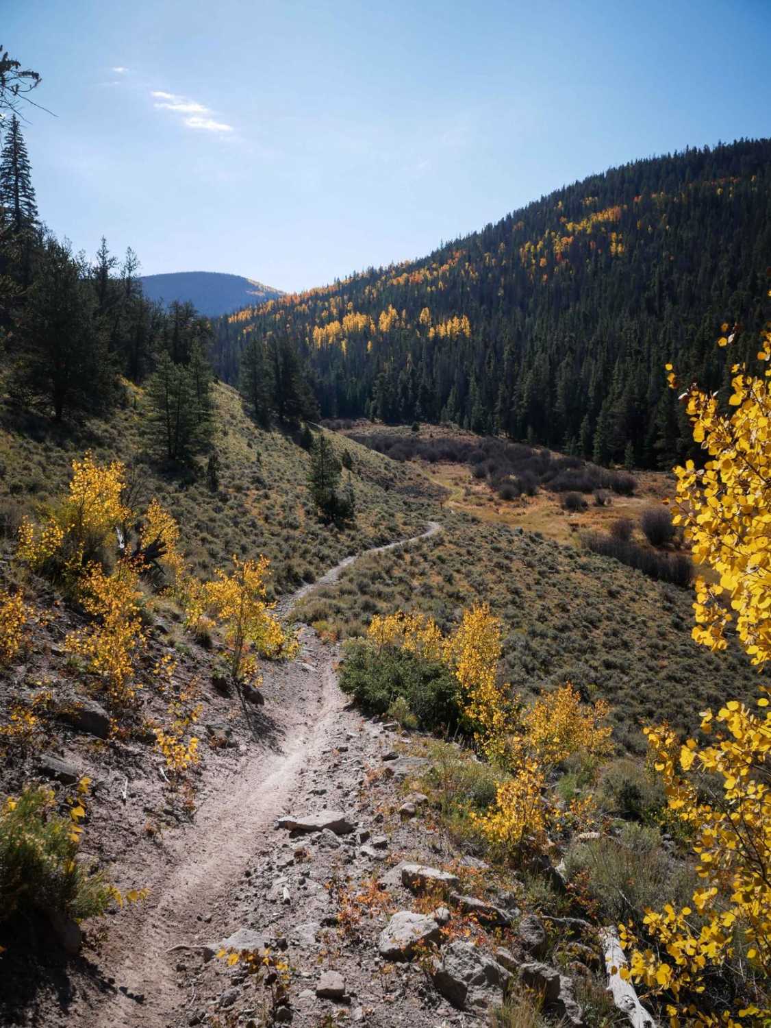
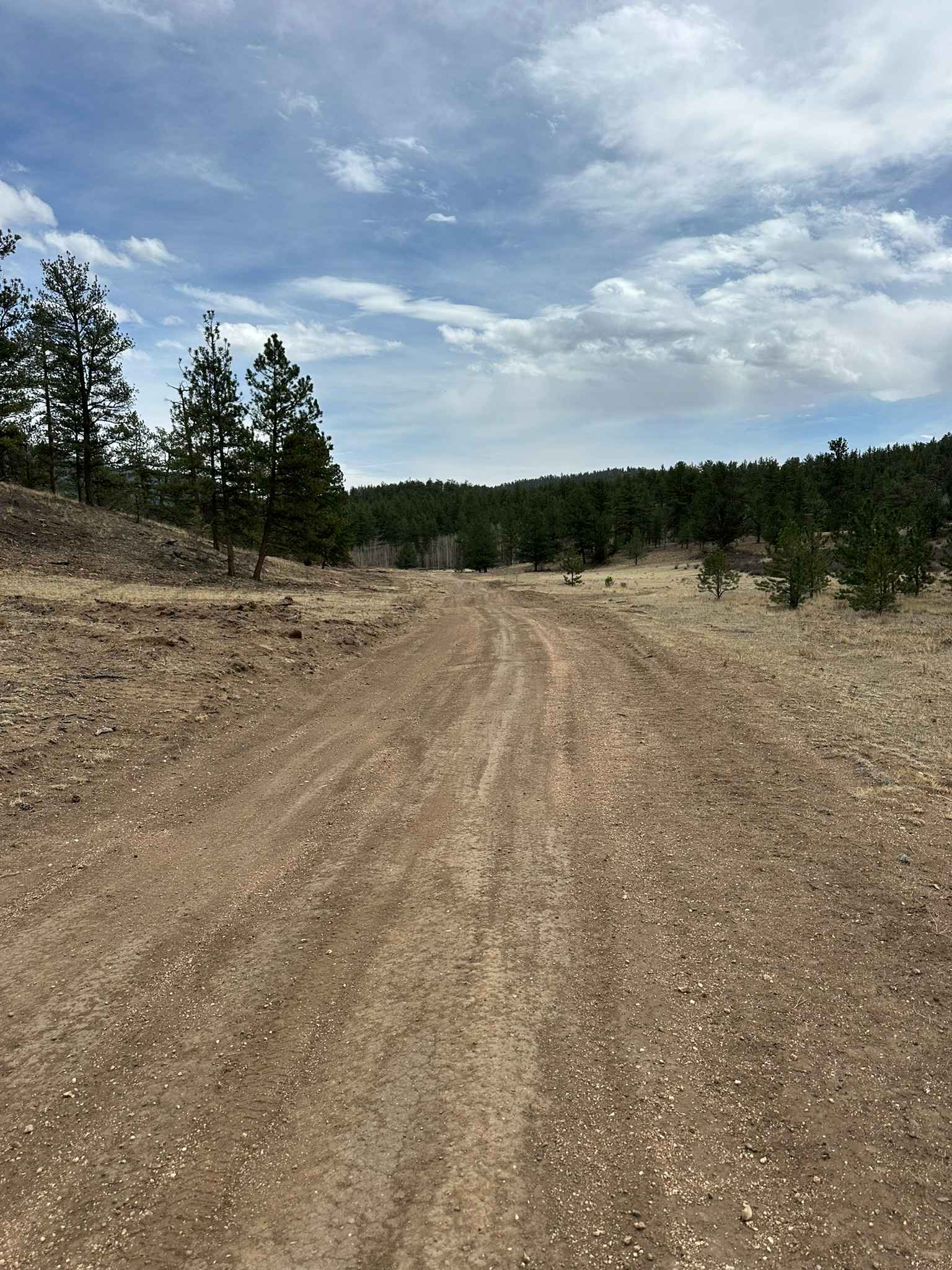
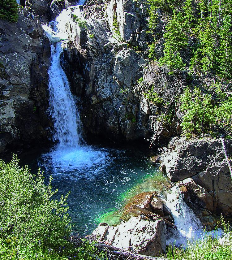
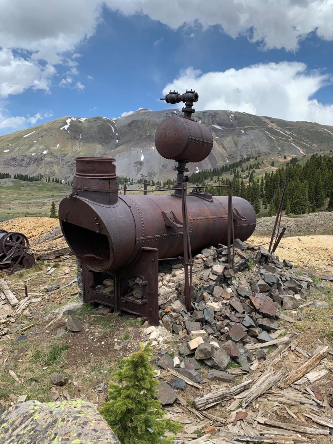
Off-Road Trails in Colorado
Discover off-road trails in Colorado
Learn more about Middle Alder ATV - 797
Middle Alder ATV - 797
Total Miles
4.9
Tech Rating
Moderate
Best Time
Summer, Fall
Learn more about Middle Barrett ATV Trail 
Middle Barrett ATV Trail
Total Miles
0.9
Tech Rating
Moderate
Best Time
Summer, Fall
Learn more about Middle Barrett Creek 
Middle Barrett Creek
Total Miles
3.1
Tech Rating
Moderate
Best Time
Summer, Fall
Learn more about Middle Blue Creek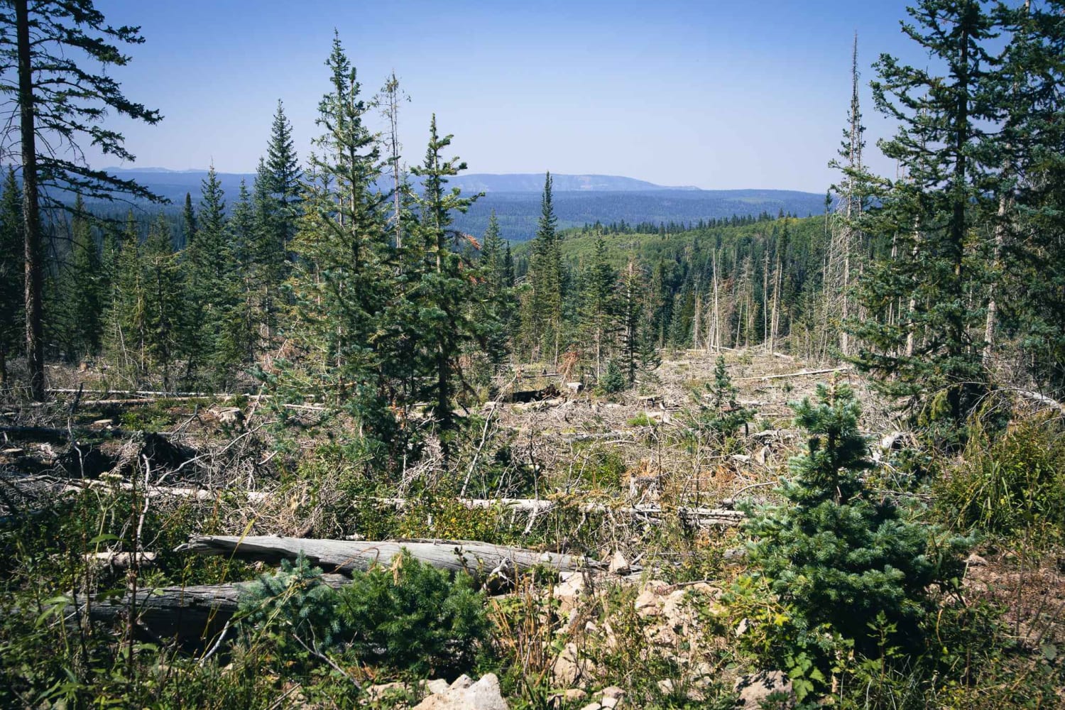
Middle Blue Creek
Total Miles
2.2
Tech Rating
Easy
Best Time
Summer, Fall
Learn more about Middle Fork Mineral Creek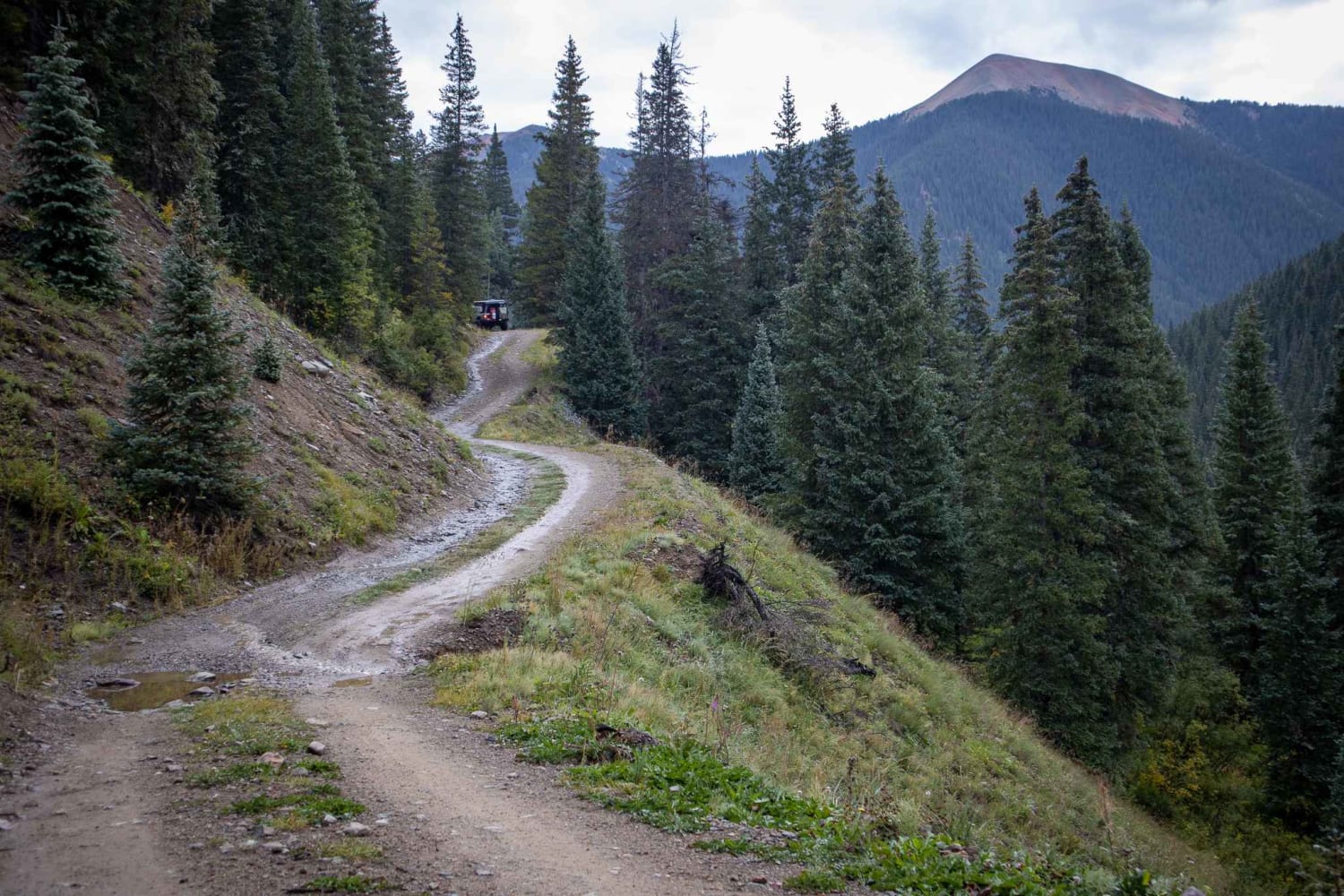
Middle Fork Mineral Creek
Total Miles
0.4
Tech Rating
Easy
Best Time
Summer, Fall
Learn more about Middle Mountain 
Middle Mountain
Total Miles
2.4
Tech Rating
Moderate
Best Time
Summer, Fall
Learn more about Middle Rat Creek Road - NF 504-1B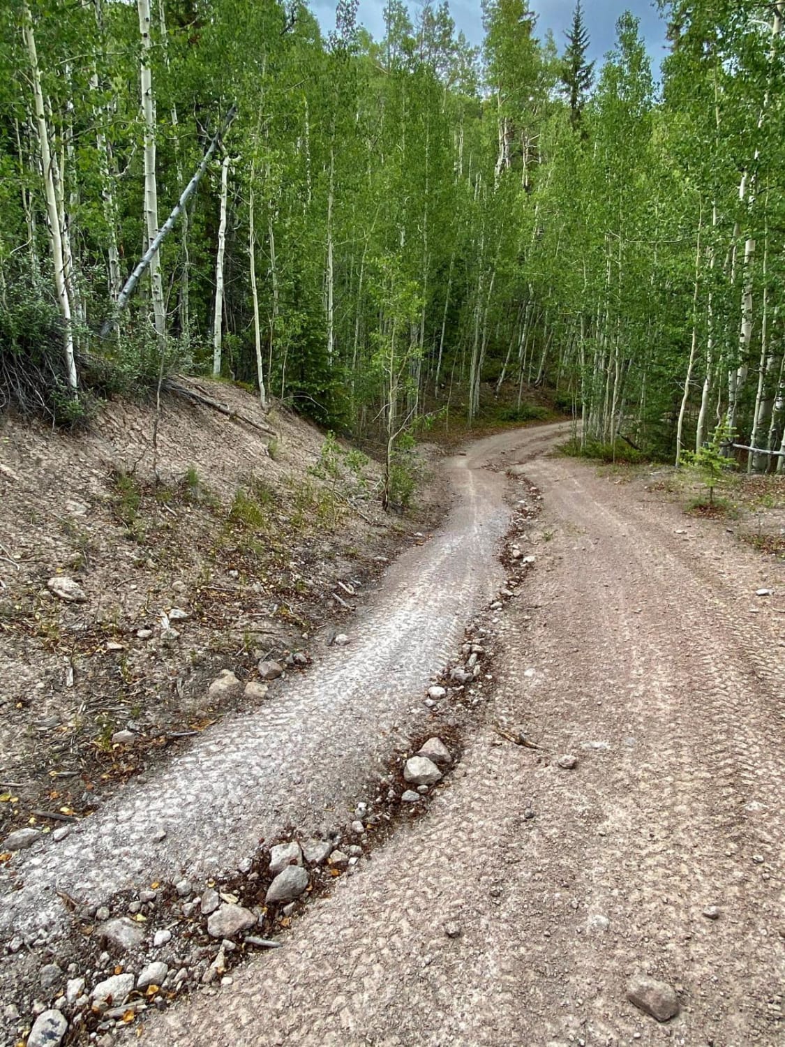
Middle Rat Creek Road - NF 504-1B
Total Miles
3.3
Tech Rating
Moderate
Best Time
Spring, Summer, Fall
Learn more about Middle St. Vrain, Coney Flats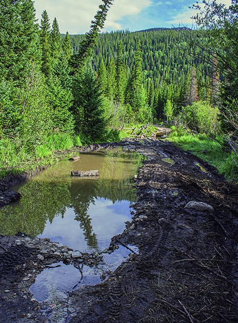
Middle St. Vrain, Coney Flats
Total Miles
11.0
Tech Rating
Moderate
Best Time
Summer, Fall
Learn more about Middle Swan Road - FS 6.2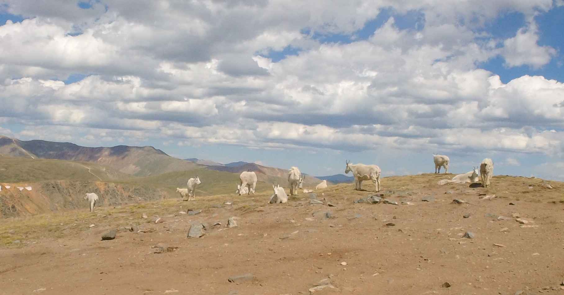
Middle Swan Road - FS 6.2
Total Miles
5.6
Tech Rating
Moderate
Best Time
Summer
Learn more about Middle Tenderfoot Mountain 
Middle Tenderfoot Mountain
Total Miles
2.5
Tech Rating
Easy
Best Time
Summer, Fall
Learn more about Milepost One Trail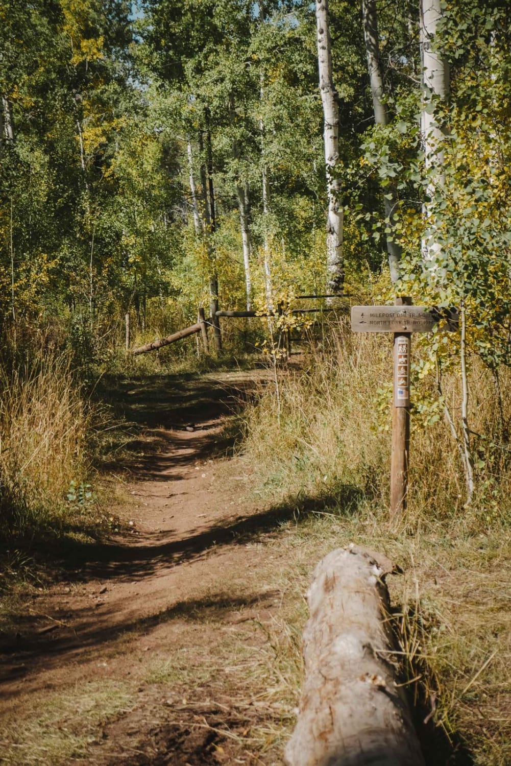
Milepost One Trail
Total Miles
1.6
Tech Rating
Easy
Best Time
Summer, Fall
Learn more about Mill Creek Road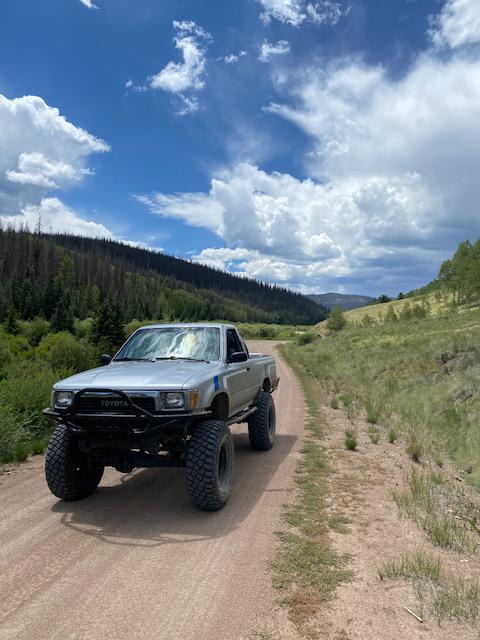
Mill Creek Road
Total Miles
15.1
Tech Rating
Easy
Best Time
Spring, Summer, Fall
Learn more about Miller Creek Loop
Miller Creek Loop
Total Miles
17.2
Tech Rating
Moderate
Best Time
Summer, Fall
Learn more about Miller Rock Road
Miller Rock Road
Total Miles
1.7
Tech Rating
Moderate
Best Time
Summer, Fall
Learn more about Millwood Road
Millwood Road
Total Miles
11.3
Tech Rating
Easy
Best Time
Spring, Summer, Fall
ATV trails in Colorado

Learn more about 16 Road, Coal Gulch
16 Road, Coal Gulch
Total Miles
14.1
Tech Rating
Easy
Best Time
Spring, Fall


UTV/side-by-side trails in Colorado
Learn more about 16 Road, Coal Gulch
16 Road, Coal Gulch
Total Miles
14.1
Tech Rating
Easy
Best Time
Spring, Fall

The onX Offroad Difference
onX Offroad combines trail photos, descriptions, difficulty ratings, width restrictions, seasonality, and more in a user-friendly interface. Available on all devices, with offline access and full compatibility with CarPlay and Android Auto. Discover what you’re missing today!