Middle Barrett ATV Trail
Total Miles
0.9
Technical Rating
Best Time
Summer, Fall
Trail Type
50" Trail
Accessible By
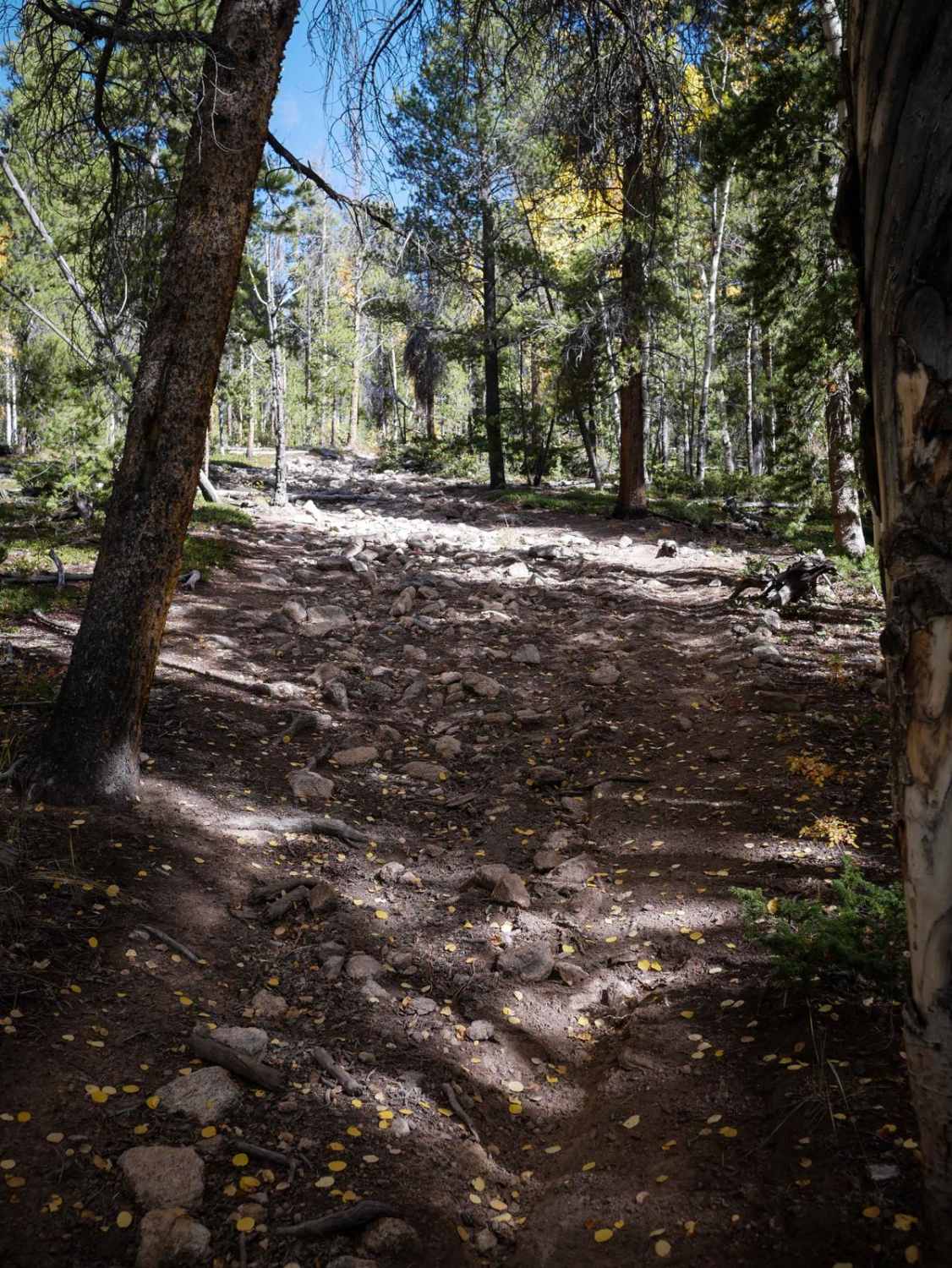
Trail Overview
This is a 1-mile-long ATV trail through the Gunnison National Forest that connects the Right Hand ATV trail to the intersection of the Middle Barrett Creek and North Gulch single tracks. It's mostly an easy two-track through aspen trees and sagebrush valleys. There's a small rocky section with a bunch of loose rock covering the trail on the south end, but it's still easy. The south end is fast and straight at the edge of the trees in a wide open valley. Near the north end, it has a rockier climb when it enters the trees. It's a wide path full of loose rocks, embedded rocks, ruts and roots, and logs sticking over the trail. The climb makes the trail a bit more difficult for ATVs.
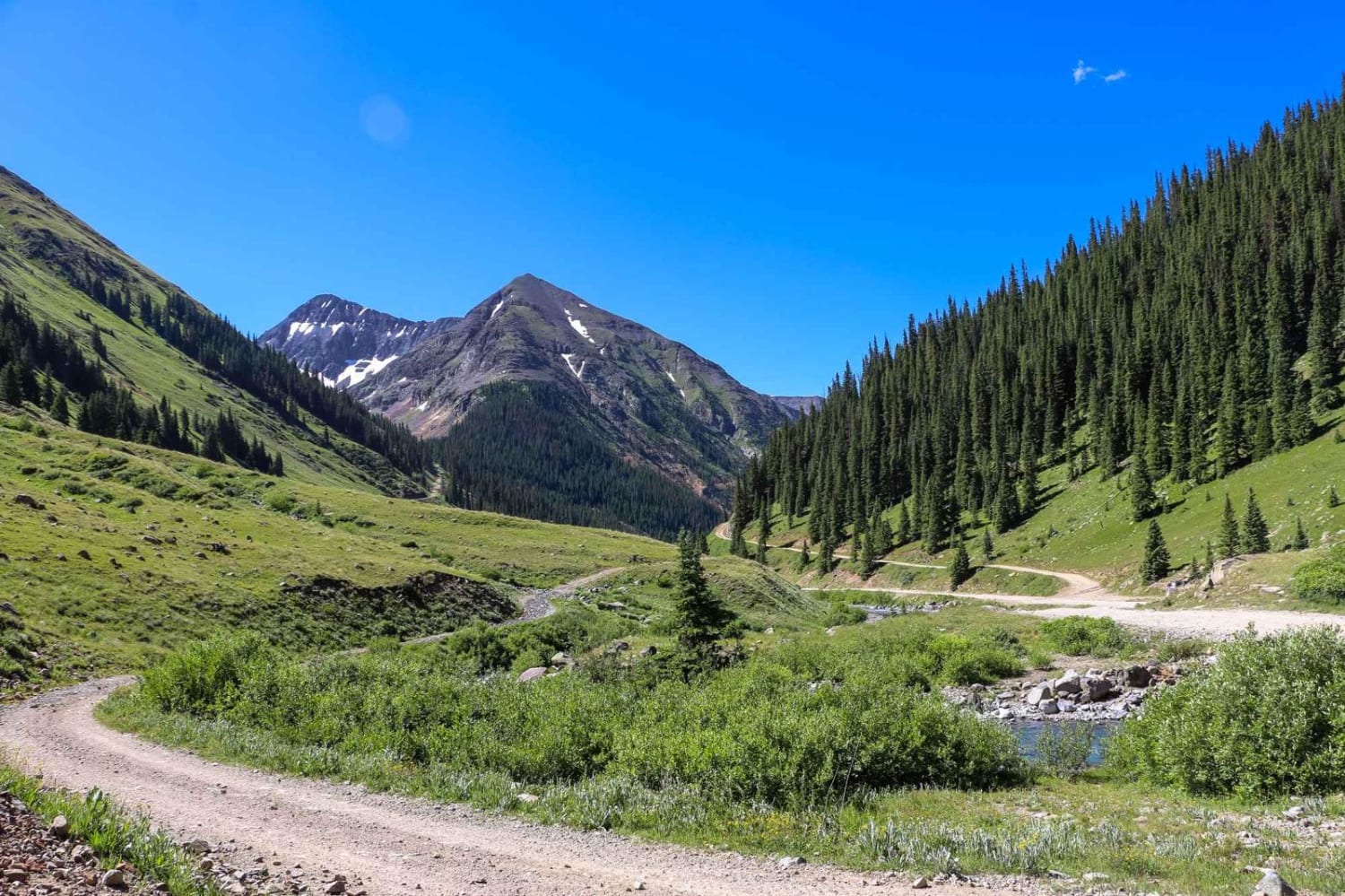
Photos of Middle Barrett ATV Trail

Difficulty
Most of the trail is a 3 difficulty, but there is one harder hill climb that makes it a 4 difficulty. It is steeper and covered in loose and embedded rocks.
Status Reports
Middle Barrett ATV Trail can be accessed by the following ride types:
- ATV (50")
- Dirt Bike
Middle Barrett ATV Trail Map
Popular Trails
Johnny Park Road

Texas Creek (F.S RD 755)
Old Dry Drainage
The onX Offroad Difference
onX Offroad combines trail photos, descriptions, difficulty ratings, width restrictions, seasonality, and more in a user-friendly interface. Available on all devices, with offline access and full compatibility with CarPlay and Android Auto. Discover what you’re missing today!