Off-Road Trails in Colorado
Discover off-road trails in Colorado
Learn more about Lone Rock
Lone Rock
Total Miles
4.7
Tech Rating
Easy
Best Time
Spring, Summer, Fall, Winter
Learn more about Lonestar ATV Loop 
Lonestar ATV Loop
Total Miles
0.8
Tech Rating
Easy
Best Time
Spring, Summer, Fall, Winter
Learn more about Long Draw Reservoir Road
Long Draw Reservoir Road
Total Miles
13.1
Tech Rating
Easy
Best Time
Summer, Fall
Learn more about Long Hollow 50-inch Trail (FS 650)
Long Hollow 50-inch Trail (FS 650)
Total Miles
4.7
Tech Rating
Easy
Best Time
Spring, Summer, Fall
Learn more about Long Hollow 60 inch Trail (FS 650)
Long Hollow 60 inch Trail (FS 650)
Total Miles
4.6
Tech Rating
Easy
Best Time
Spring, Summer, Fall
Learn more about Long Park Mine Tour
Long Park Mine Tour
Total Miles
21.1
Tech Rating
Easy
Best Time
Fall, Summer, Spring
Learn more about Long Road - FS 140
Long Road - FS 140
Total Miles
3.5
Tech Rating
Easy
Best Time
Summer, Fall
Learn more about Longwater Gulch
Longwater Gulch
Total Miles
3.9
Tech Rating
Difficult
Best Time
Spring, Summer, Fall
Learn more about Lookout Mountain
Lookout Mountain
Total Miles
3.6
Tech Rating
Easy
Best Time
Spring, Summer, Fall
Learn more about Lookout Tower & Views-USFS Rd #651A
Lookout Tower & Views-USFS Rd #651A
Total Miles
1.2
Tech Rating
Easy
Best Time
Spring, Summer, Fall
Learn more about Loop 3
Loop 3
Total Miles
15.2
Tech Rating
Moderate
Best Time
Spring, Summer, Fall, Winter
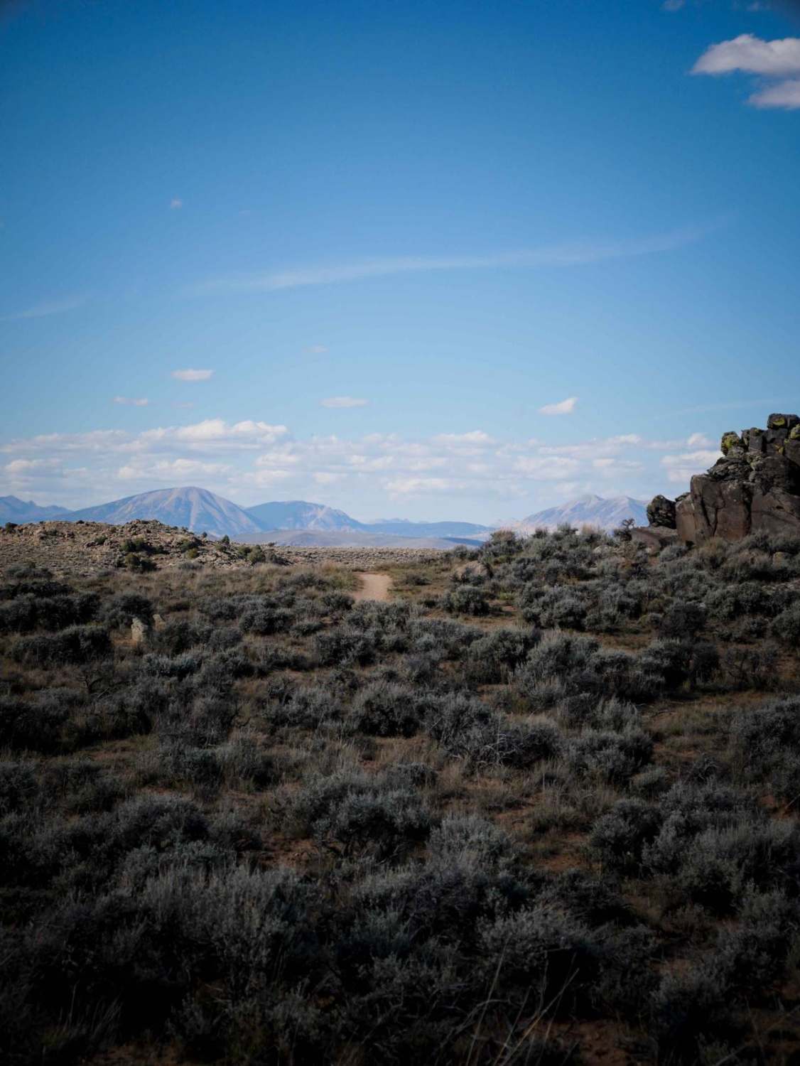
Learn more about Lost Park Road
Lost Park Road
Total Miles
17.5
Tech Rating
Easy
Best Time
Fall, Summer, Spring

ATV trails in Colorado

Learn more about 16 Road, Coal Gulch
16 Road, Coal Gulch
Total Miles
14.1
Tech Rating
Easy
Best Time
Spring, Fall


UTV/side-by-side trails in Colorado
Learn more about 16 Road, Coal Gulch
16 Road, Coal Gulch
Total Miles
14.1
Tech Rating
Easy
Best Time
Spring, Fall

The onX Offroad Difference
onX Offroad combines trail photos, descriptions, difficulty ratings, width restrictions, seasonality, and more in a user-friendly interface. Available on all devices, with offline access and full compatibility with CarPlay and Android Auto. Discover what you’re missing today!