Lost Trail Road
Total Miles
9.2
Technical Rating
Best Time
Summer, Fall
Trail Type
50" Trail
Accessible By
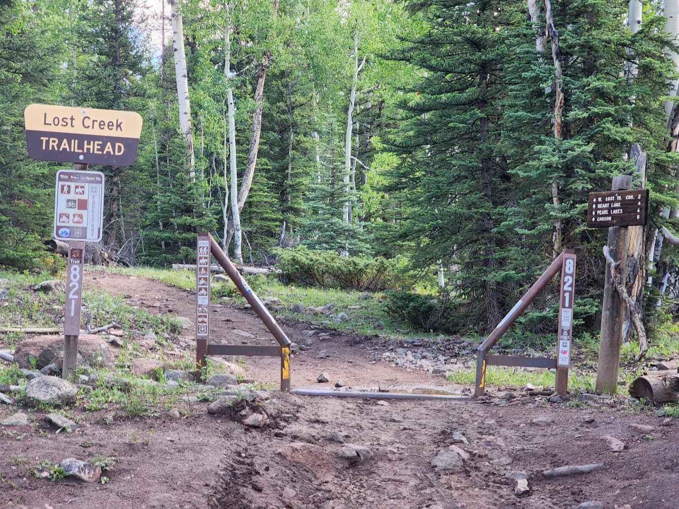
Trail Overview
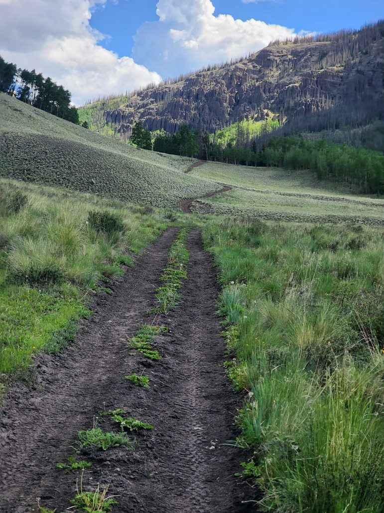
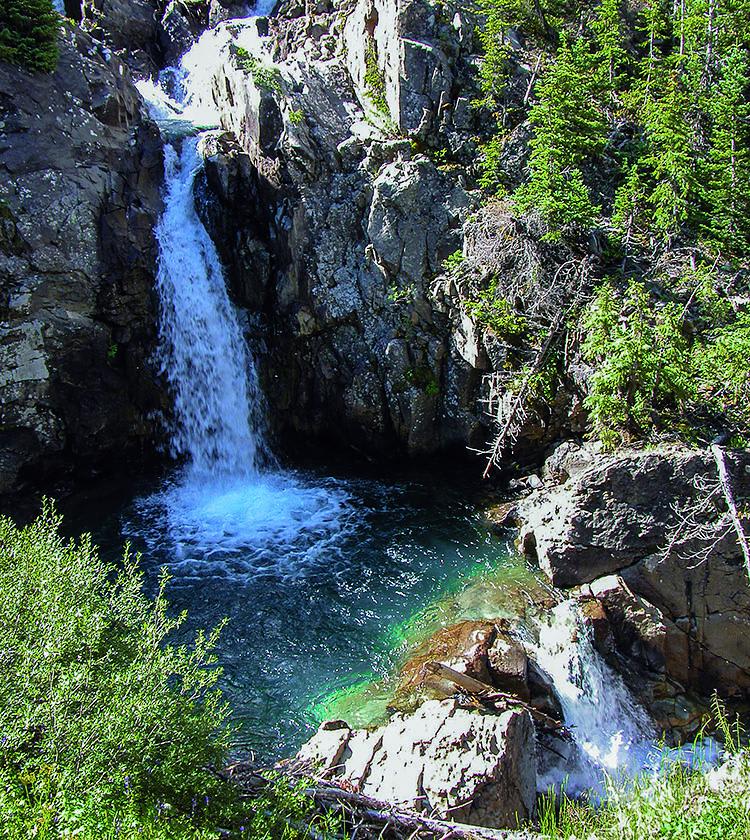
Lost Trail is a 50" trail more suited for dirt bikes than 50" vehicles. It is a connector between Cinnamon Pass (part of the Alpine Loop) and Stoney Pass via the interesting ghost town of Carson, CO. There are several other mining areas to explore near Carson Pass. There are areas where the cattle fencing must be crossed on an elevated "V". This trail is also called and signed as West Lost Creek Trail or simply Lost Creek trail if approaching from 149 and the town of Creede. Please tread lightly and stay on designated trails.
Photos of Lost Trail Road
Difficulty
There are several water crossing, one of which runs parallel (with the creek) that can be 12+" deep at times. Most of the trail is tight single track through the trees and wider 50" through Meadows with some challenging loose rock climbs towards the end before you descend to Carson, CO. There are several elevated "V" cattle fences crossing to negotiateAs of July 2023 there were numerous trees down and unofficial re-routes of the official trail.
History
Historically the The town of Carson, CO is for sale and listed with Berkshire, Hathaway.
Status Reports
Lost Trail Road can be accessed by the following ride types:
- ATV (50")
- Dirt Bike
Lost Trail Road Map
Popular Trails

BLM Route 015
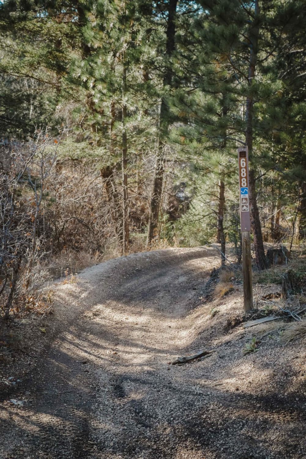
688 Beaver ATV Trail

Forest Road 380.2B
The onX Offroad Difference
onX Offroad combines trail photos, descriptions, difficulty ratings, width restrictions, seasonality, and more in a user-friendly interface. Available on all devices, with offline access and full compatibility with CarPlay and Android Auto. Discover what you’re missing today!