Loop 3
Total Miles
15.2
Technical Rating
Best Time
Spring, Summer, Fall, Winter
Trail Type
Single Track
Accessible By
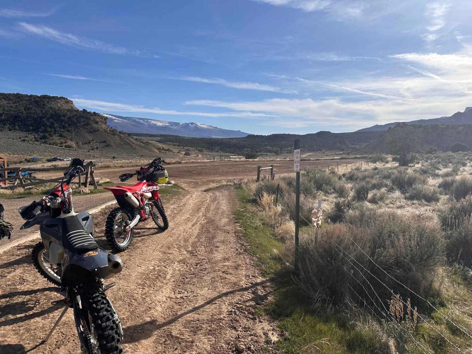
Trail Overview
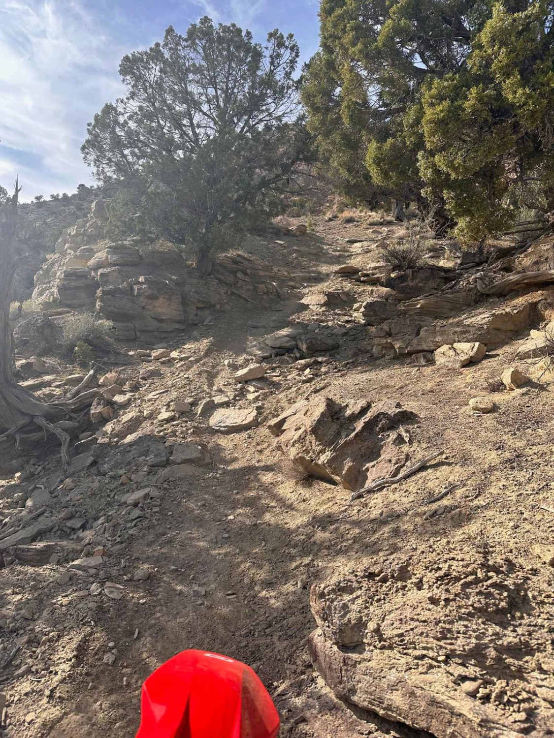
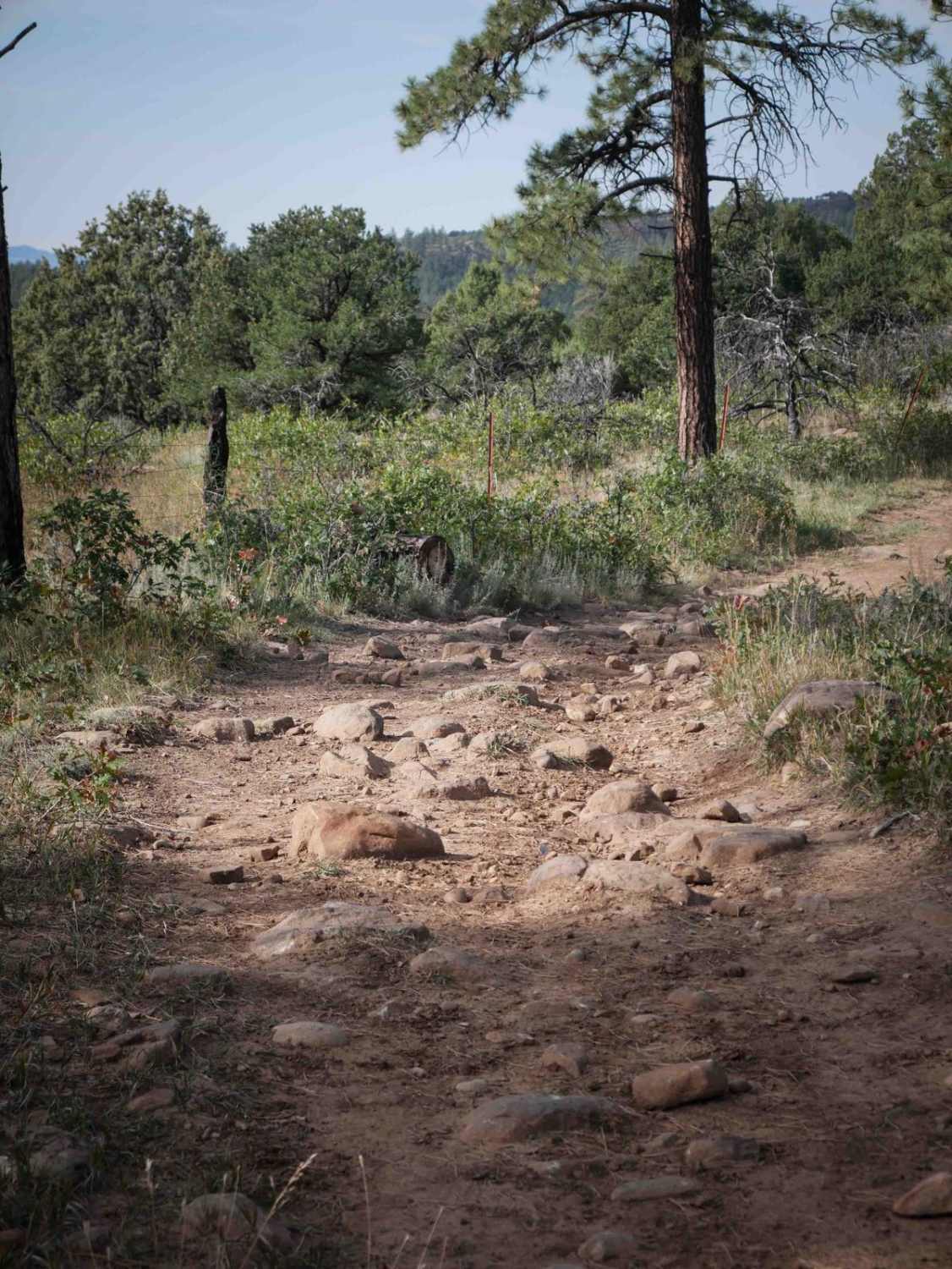
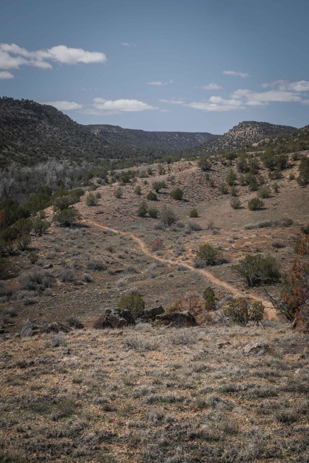
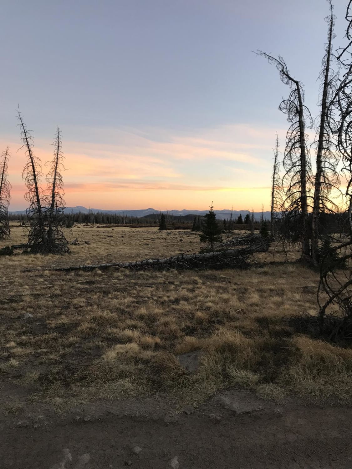
This is part of a designated OHV area often called Hubbard Mesa or JQS nestled below the Roan Plateau and north of the town of Rifle. Rifle rides most of the year save for heavy rains and snow that turn the adobe clay into mud. Summers are pretty warm so early morning/late evenings are ideal. Loop 3 takes you on a quick rip through high desert juniper, ridgelines, and drainages. You'll find narrow singletrack through tight juniper, along sidehills, up rocky drainages, and some turn track-style lines through the sage. There is flow dotted with some loose climbs and rock moves. This trail isn't officially designated uni-directional but you'll see some arrows that were added by long-time locals encouraging the direction of starting west of the parking area versus straight across from it. However, going the opposite way adds some excitement and obstacles. Some of Loop 3 intersects a couple of main heavily used 4x4 roads, so be alert at road crossings for SxSs traveling at high rates of speed. You can easily make a 40-ish mile day if you add B-side and Loop 2 trails to the ride.
Photos of Loop 3
Difficulty
Expect loose climbs, a steep narrow trail, and rock obstacles.
History
Hubbard Mesa is a BLM designated area for Off-Highway Vehicle use. Hubbard Mesa was designated as an Open Area in 2007 in the Roan Plateau Management Plan. It offers 2,460 acres with 50 miles of single track, ATV, and Jeep trails. This is a high-use area primarily for OHVs but also receives use from non-motorized users and target shooting.
Status Reports
Loop 3 can be accessed by the following ride types:
- Dirt Bike
Loop 3 Map
Popular Trails

Piedra Road FR 631
The onX Offroad Difference
onX Offroad combines trail photos, descriptions, difficulty ratings, width restrictions, seasonality, and more in a user-friendly interface. Available on all devices, with offline access and full compatibility with CarPlay and Android Auto. Discover what you’re missing today!