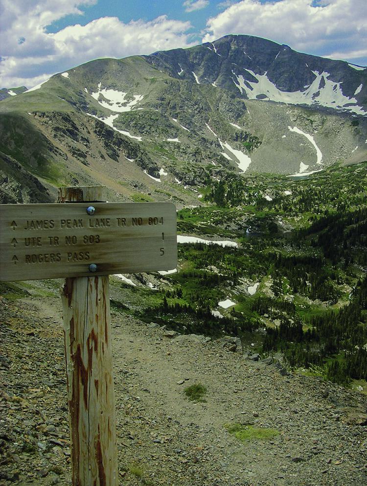
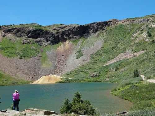
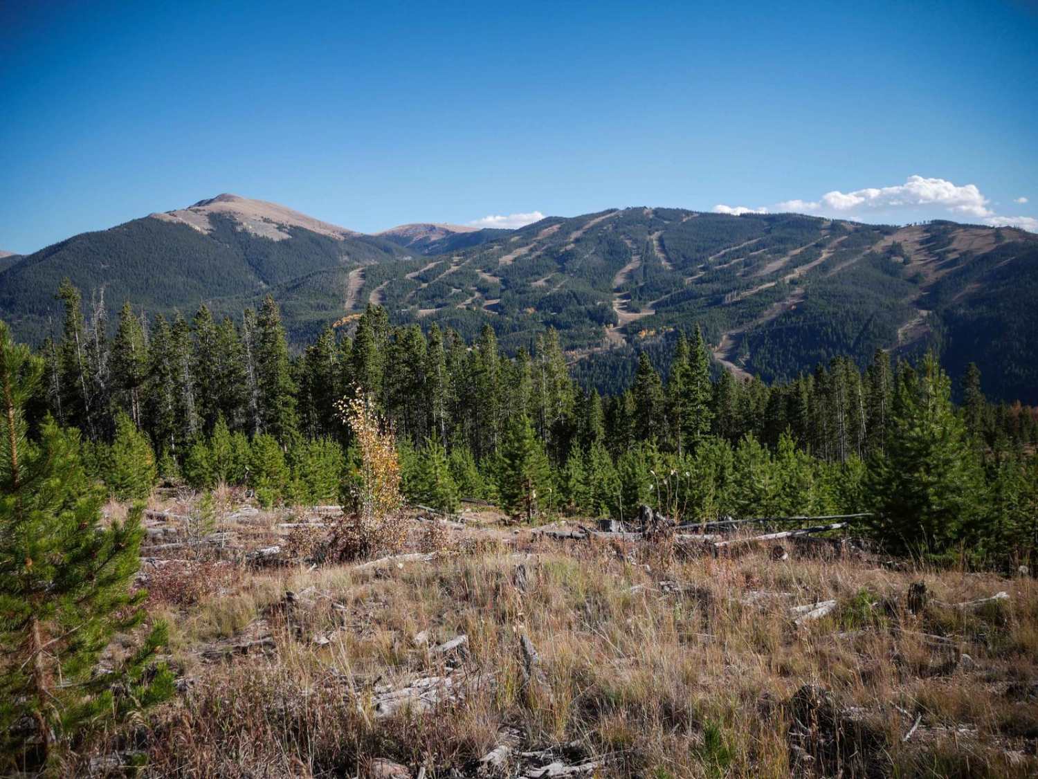
Off-Road Trails in Colorado
Discover off-road trails in Colorado
Learn more about Killpecker Road
Killpecker Road
Total Miles
7.2
Tech Rating
Easy
Best Time
Spring, Summer, Fall
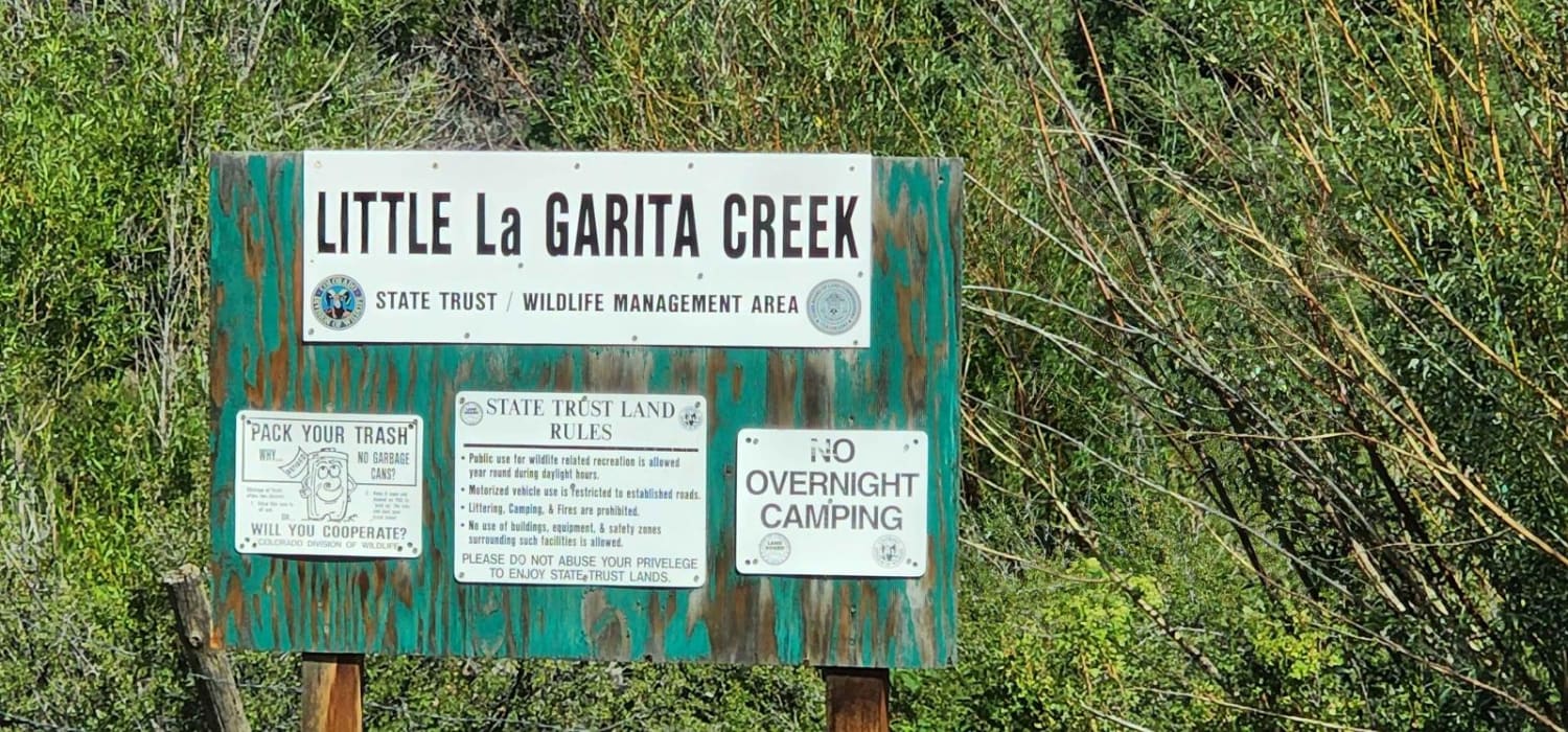
Learn more about La Garita Creek ATV 
La Garita Creek ATV
Total Miles
6.1
Tech Rating
Easy
Best Time
Summer, Fall
Learn more about La Garita Creek Cutoff ATV 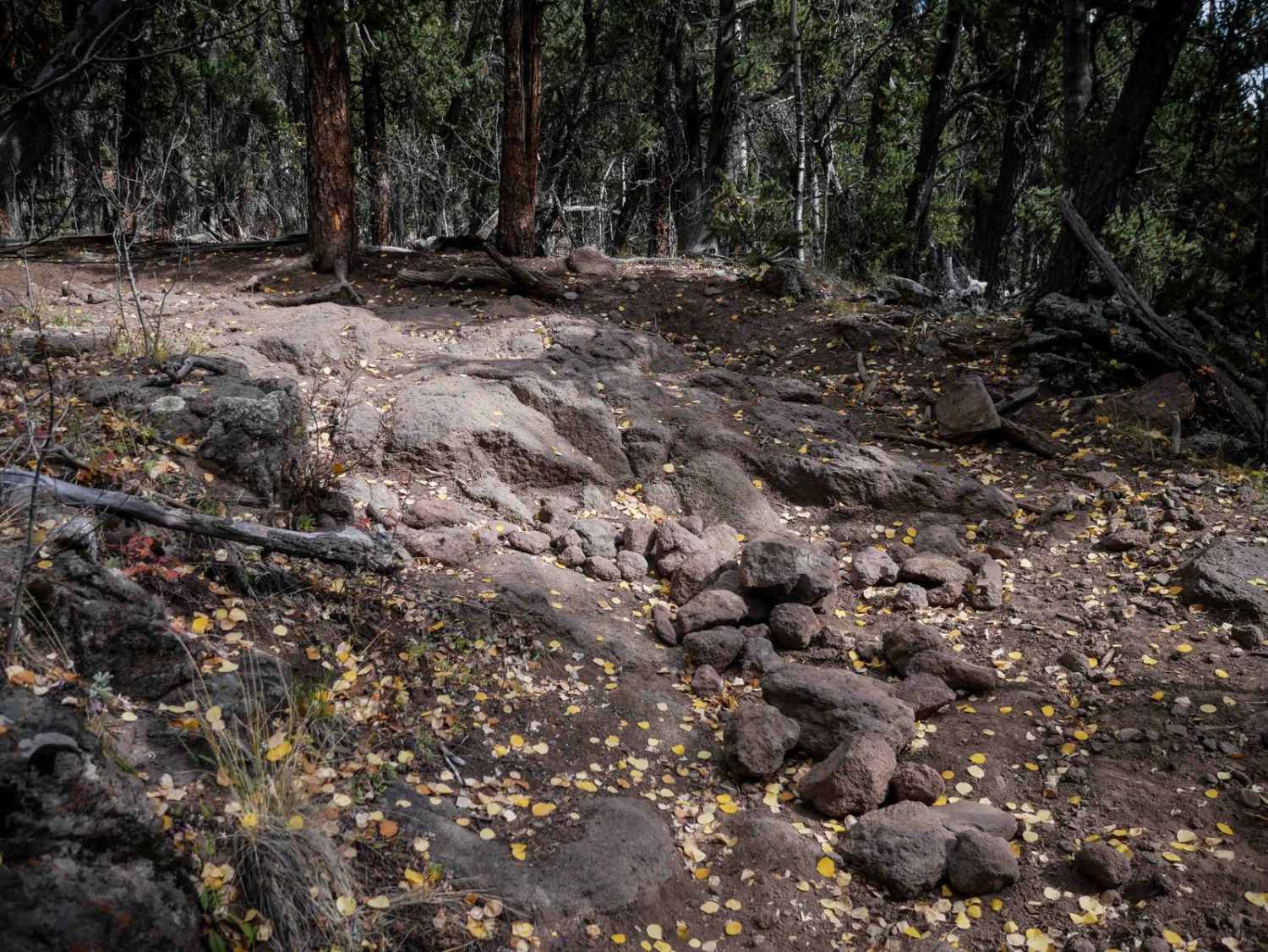
La Garita Creek Cutoff ATV
Total Miles
3.9
Tech Rating
Moderate
Best Time
Summer, Fall
Learn more about La Garita Creek Cutoff Single Track
La Garita Creek Cutoff Single Track
Total Miles
1.3
Tech Rating
Moderate
Best Time
Summer, Fall
Learn more about La Garita Creek Single Track 
La Garita Creek Single Track
Total Miles
4.4
Tech Rating
Moderate
Best Time
Summer, Fall
Learn more about La Garita Stock Driveway Trail 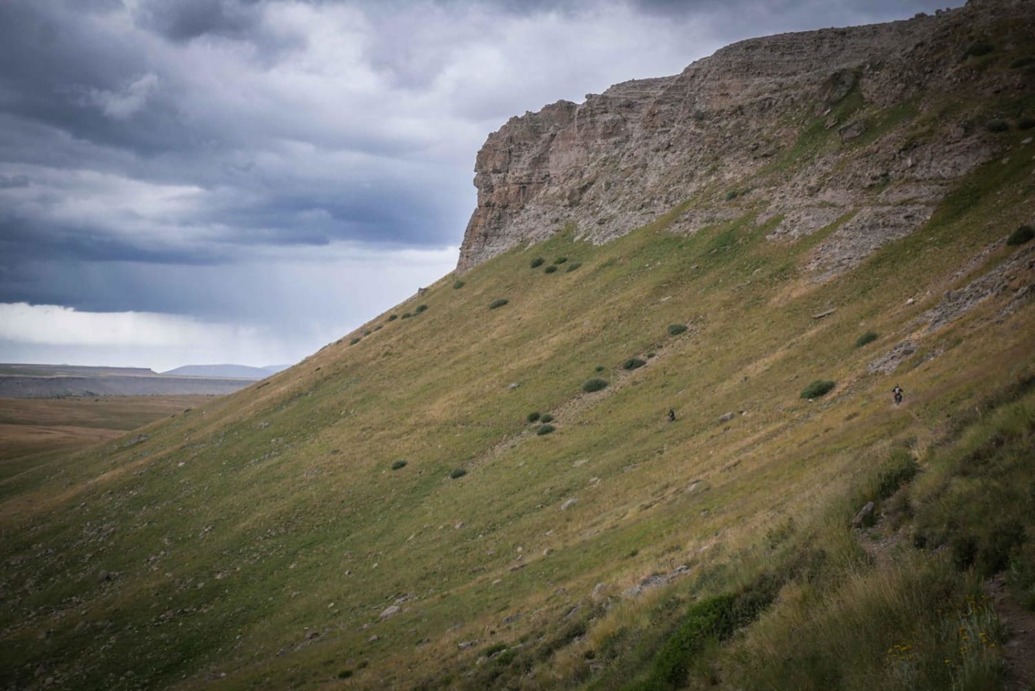
La Garita Stock Driveway Trail
Total Miles
4.3
Tech Rating
Difficult
Best Time
Summer
Learn more about La Plata Canyon/CR 124
La Plata Canyon/CR 124
Total Miles
9.4
Tech Rating
Easy
Best Time
Summer
Learn more about La Salle Pass County Road 46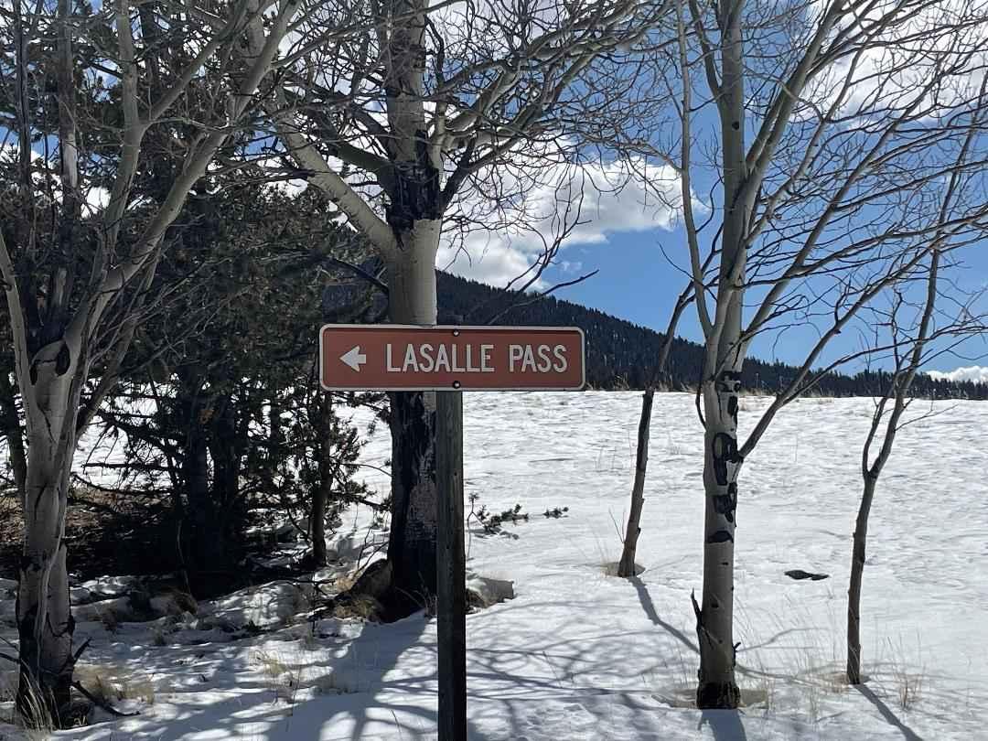
La Salle Pass County Road 46
Total Miles
9.4
Tech Rating
Easy
Best Time
Spring, Summer, Fall, Winter
Learn more about Lake Evelyn Road - FS 136
Lake Evelyn Road - FS 136
Total Miles
3.9
Tech Rating
Easy
Best Time
Spring, Summer, Fall
Learn more about Lake George to 11 Mile 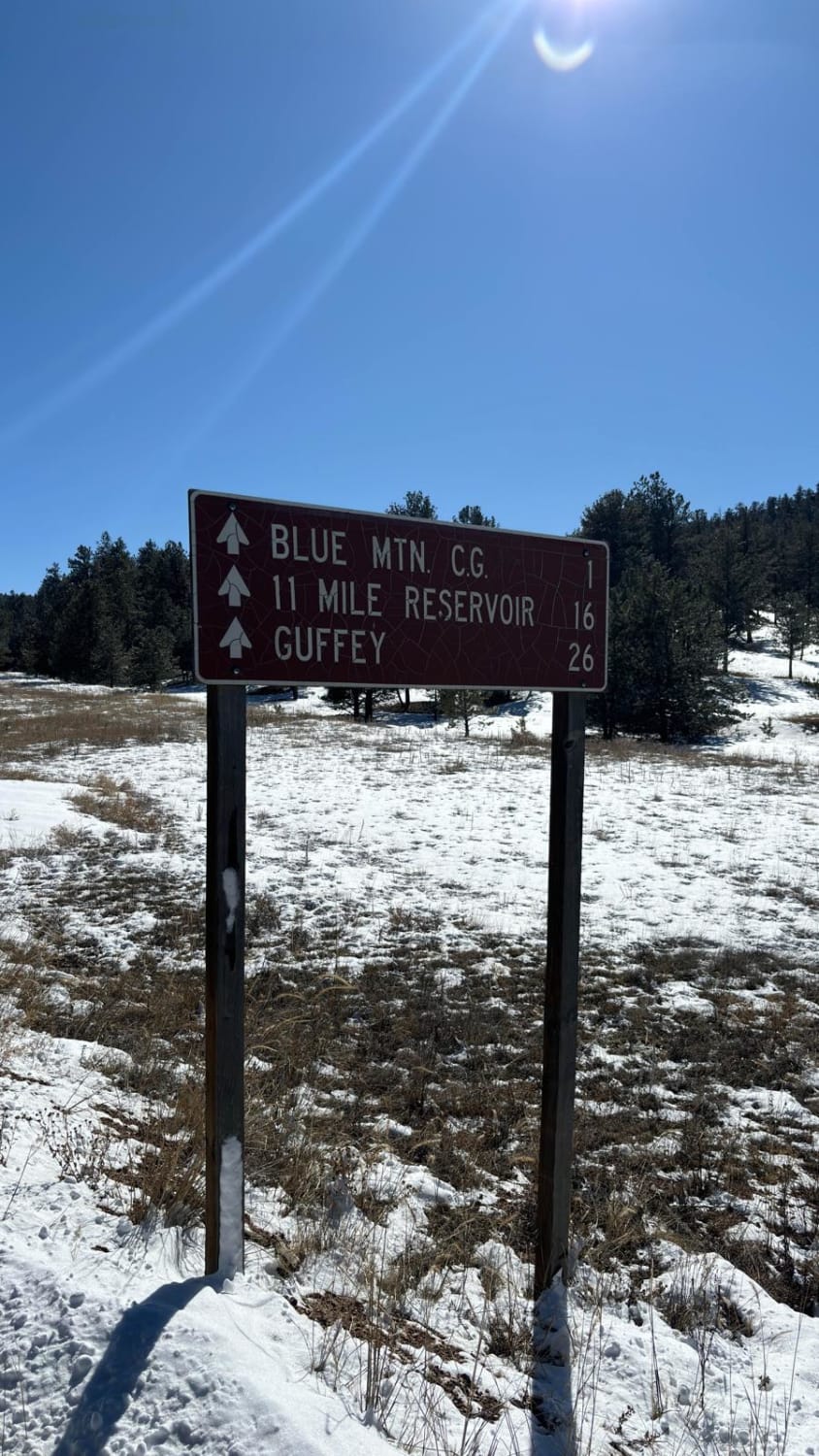
Lake George to 11 Mile
Total Miles
14.8
Tech Rating
Easy
Best Time
Summer
Learn more about Lake Mountain
Lake Mountain
Total Miles
4.1
Tech Rating
Easy
Best Time
Spring, Summer, Fall
ATV trails in Colorado

Learn more about 16 Road, Coal Gulch
16 Road, Coal Gulch
Total Miles
14.1
Tech Rating
Easy
Best Time
Spring, Fall


UTV/side-by-side trails in Colorado
Learn more about 16 Road, Coal Gulch
16 Road, Coal Gulch
Total Miles
14.1
Tech Rating
Easy
Best Time
Spring, Fall

The onX Offroad Difference
onX Offroad combines trail photos, descriptions, difficulty ratings, width restrictions, seasonality, and more in a user-friendly interface. Available on all devices, with offline access and full compatibility with CarPlay and Android Auto. Discover what you’re missing today!