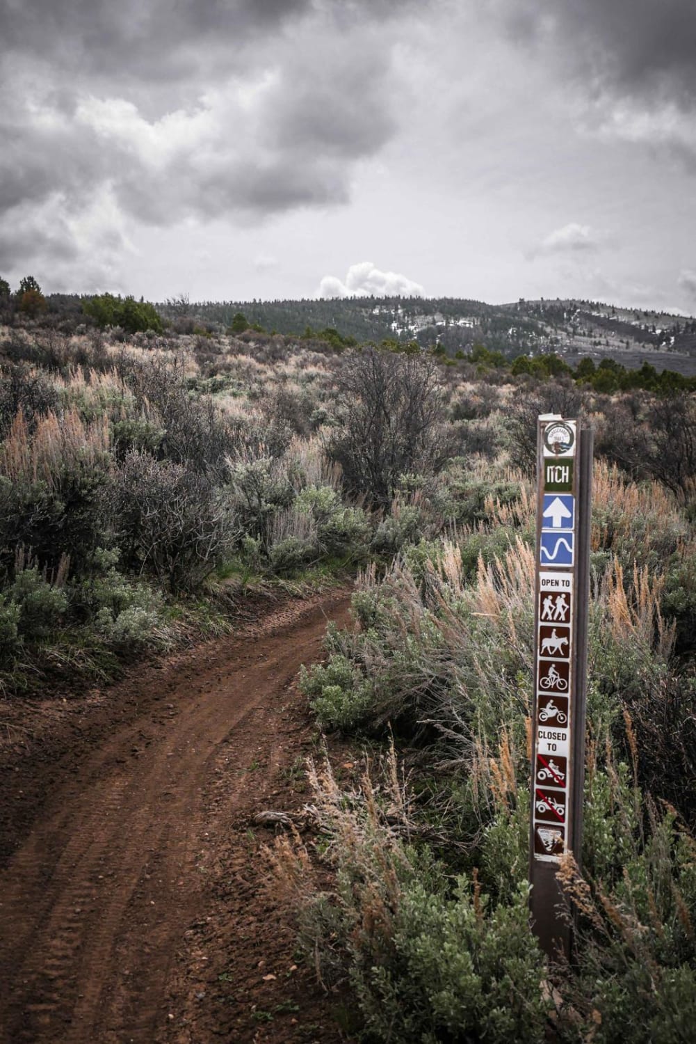
Off-Road Trails in Colorado
Discover off-road trails in Colorado
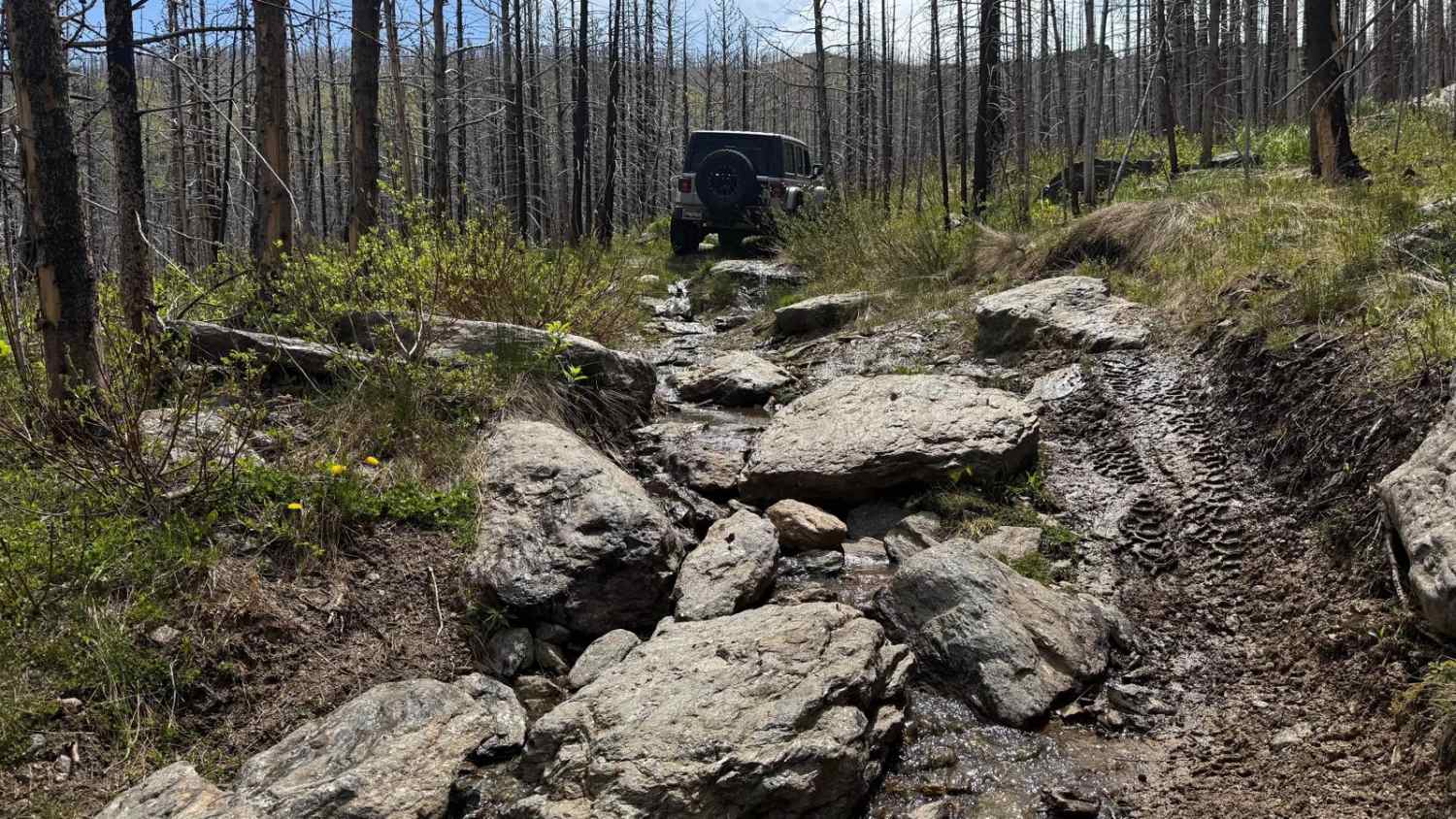
Learn more about Hotel Gulch - FR 346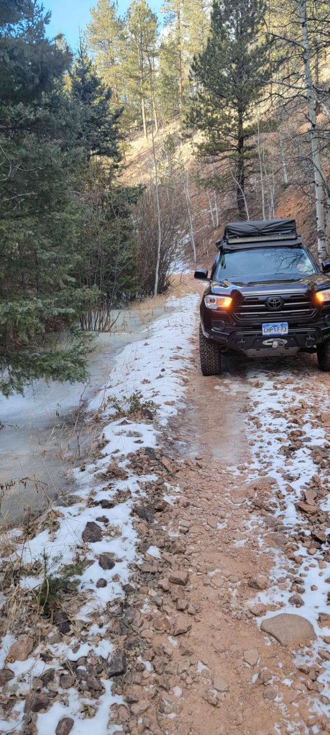
Hotel Gulch - FR 346
Total Miles
3.7
Tech Rating
Easy
Best Time
Spring, Summer, Fall
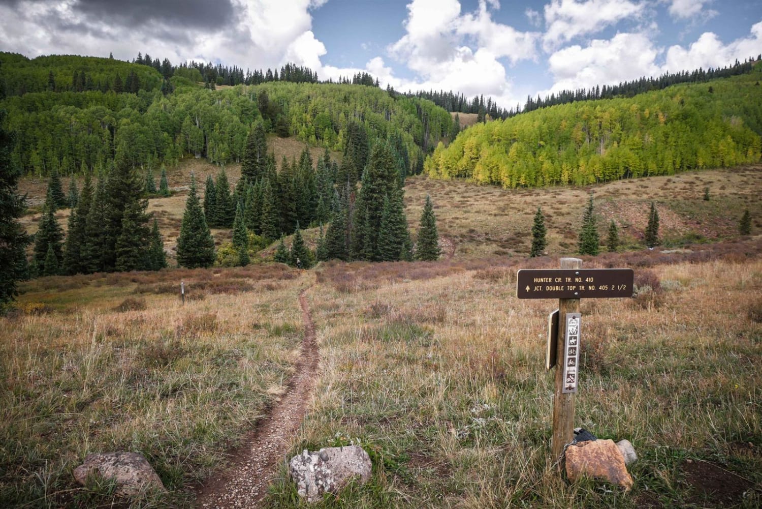
Learn more about Hunter Reservoir Trail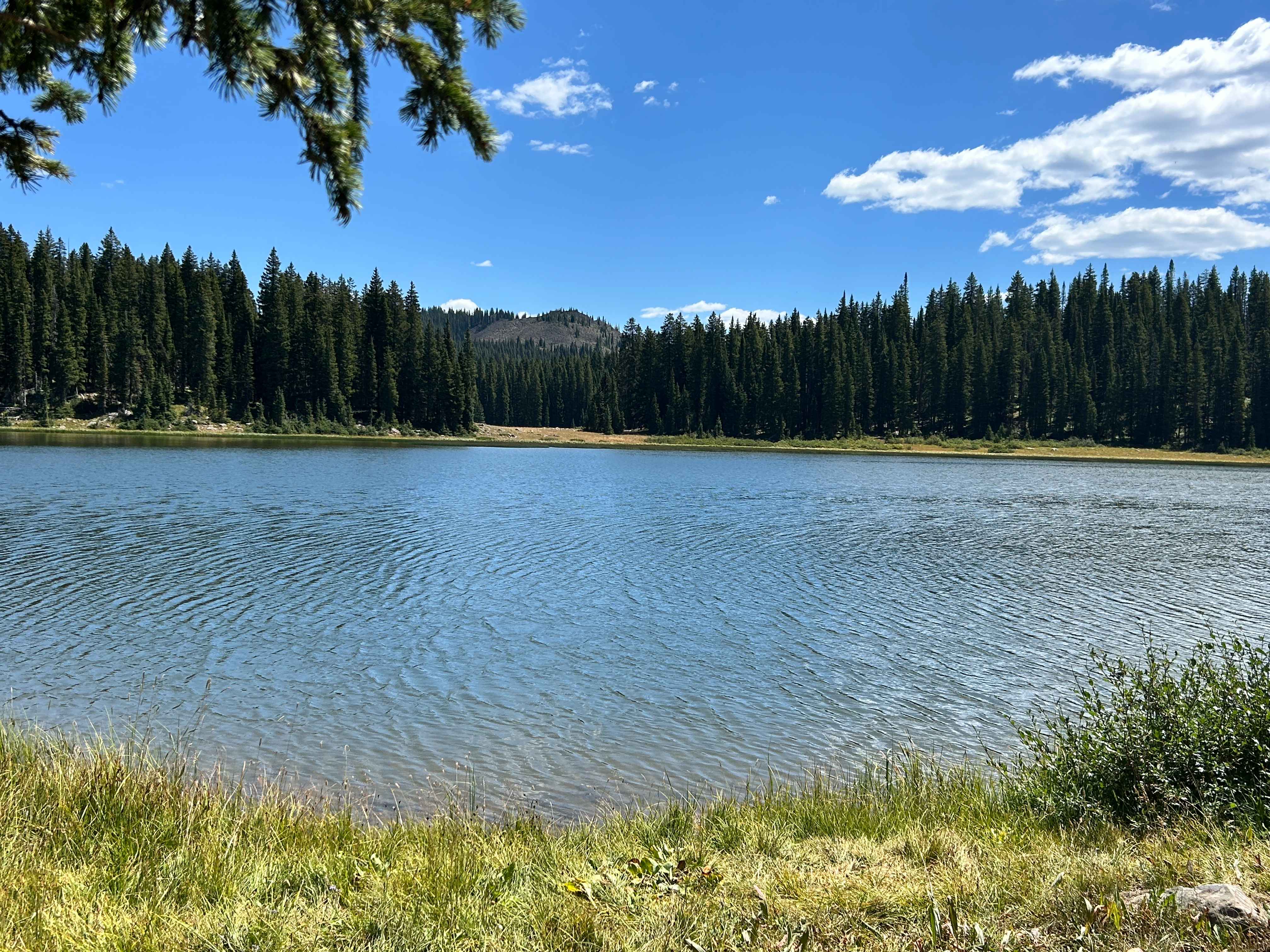
Hunter Reservoir Trail
Total Miles
3.3
Tech Rating
Easy
Best Time
Summer, Fall
Learn more about Illinois Ditch Trail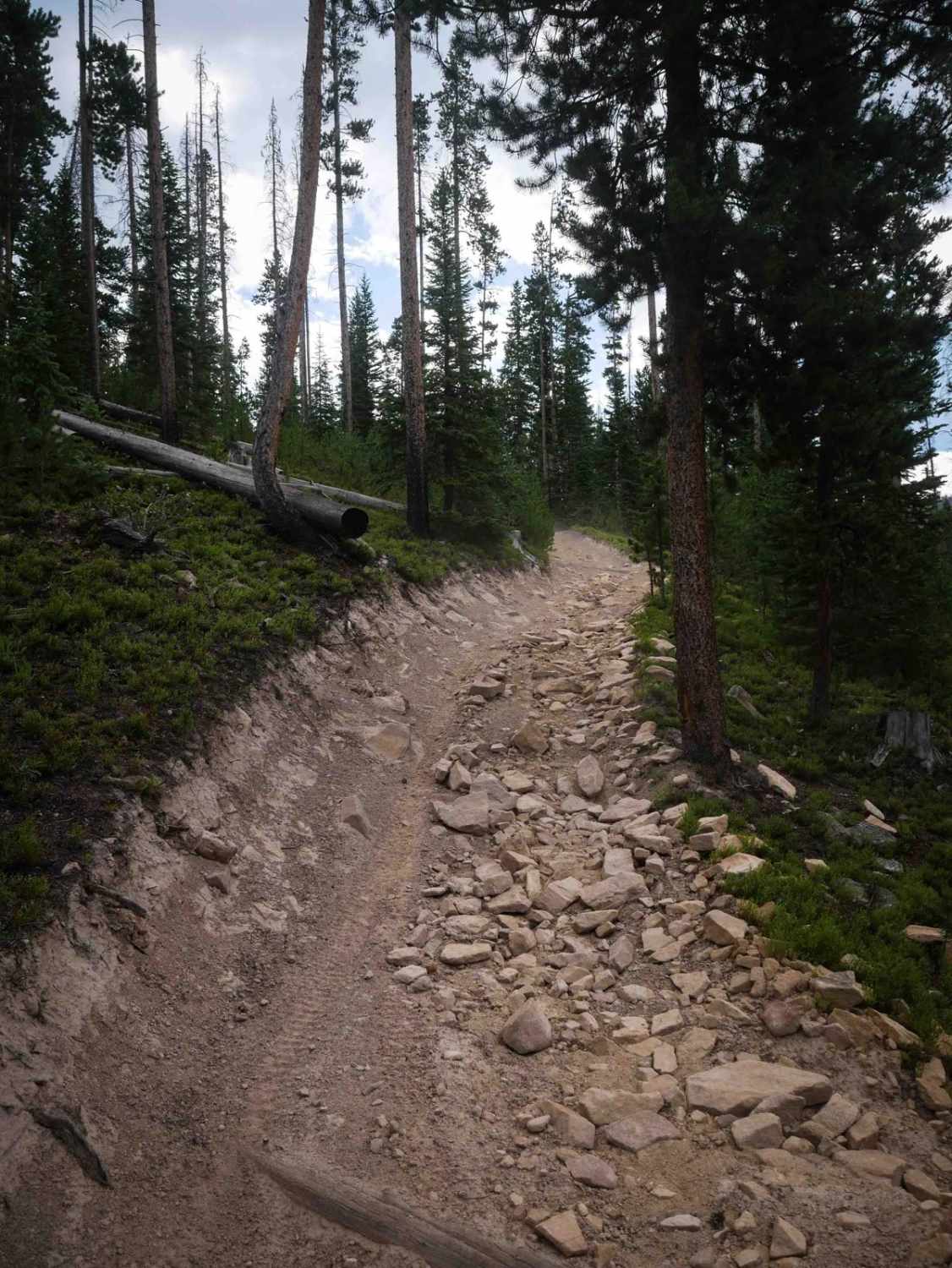
Illinois Ditch Trail
Total Miles
4.4
Tech Rating
Moderate
Best Time
Summer, Fall
Learn more about Illinois Pass Trail
Illinois Pass Trail
Total Miles
5.3
Tech Rating
Moderate
Best Time
Summer, Fall
Learn more about Independece
Independece
Total Miles
0.2
Tech Rating
Difficult
Best Time
Spring, Summer, Fall, Winter
Learn more about Independence Creek 
Independence Creek
Total Miles
3.3
Tech Rating
Easy
Best Time
Fall, Summer
Learn more about Indiana Head 
Indiana Head
Total Miles
4.1
Tech Rating
Easy
Best Time
Spring, Summer, Fall
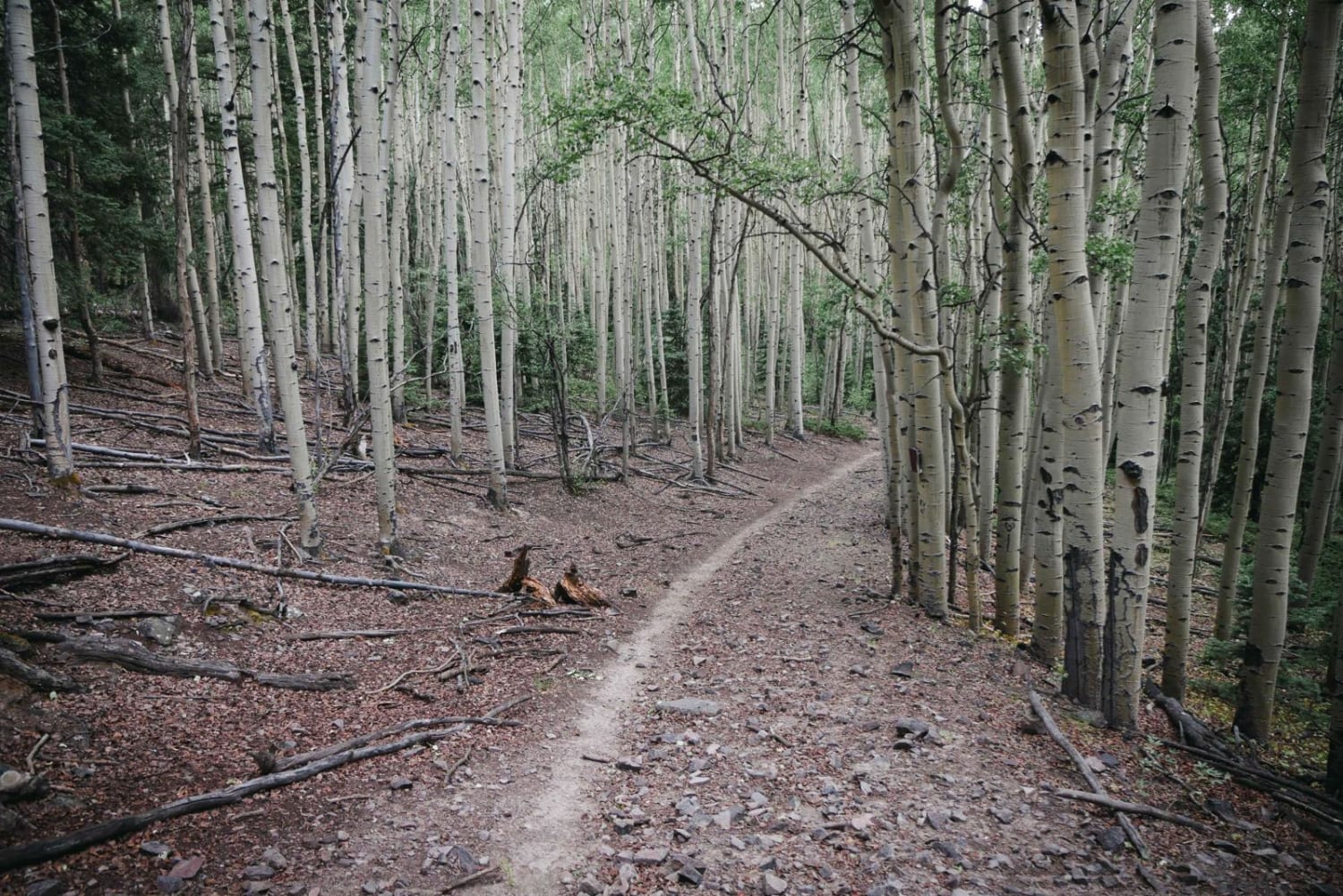
Learn more about Into the Forest We Go
Into the Forest We Go
Total Miles
3.1
Tech Rating
Easy
Best Time
Summer, Fall
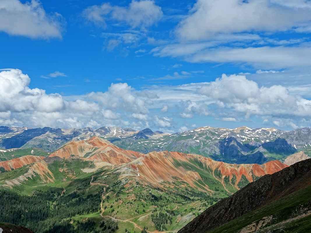
Learn more about Iron Chest Mine
Iron Chest Mine
Total Miles
2.7
Tech Rating
Difficult
Best Time
Summer, Fall

Learn more about Italian Creek, Reno Divide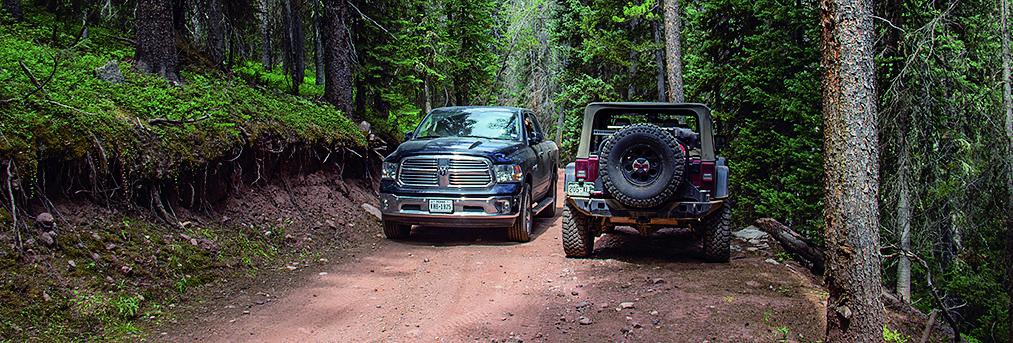
Italian Creek, Reno Divide
Total Miles
27.5
Tech Rating
Moderate
Best Time
Summer, Fall
Learn more about Jack Park Trail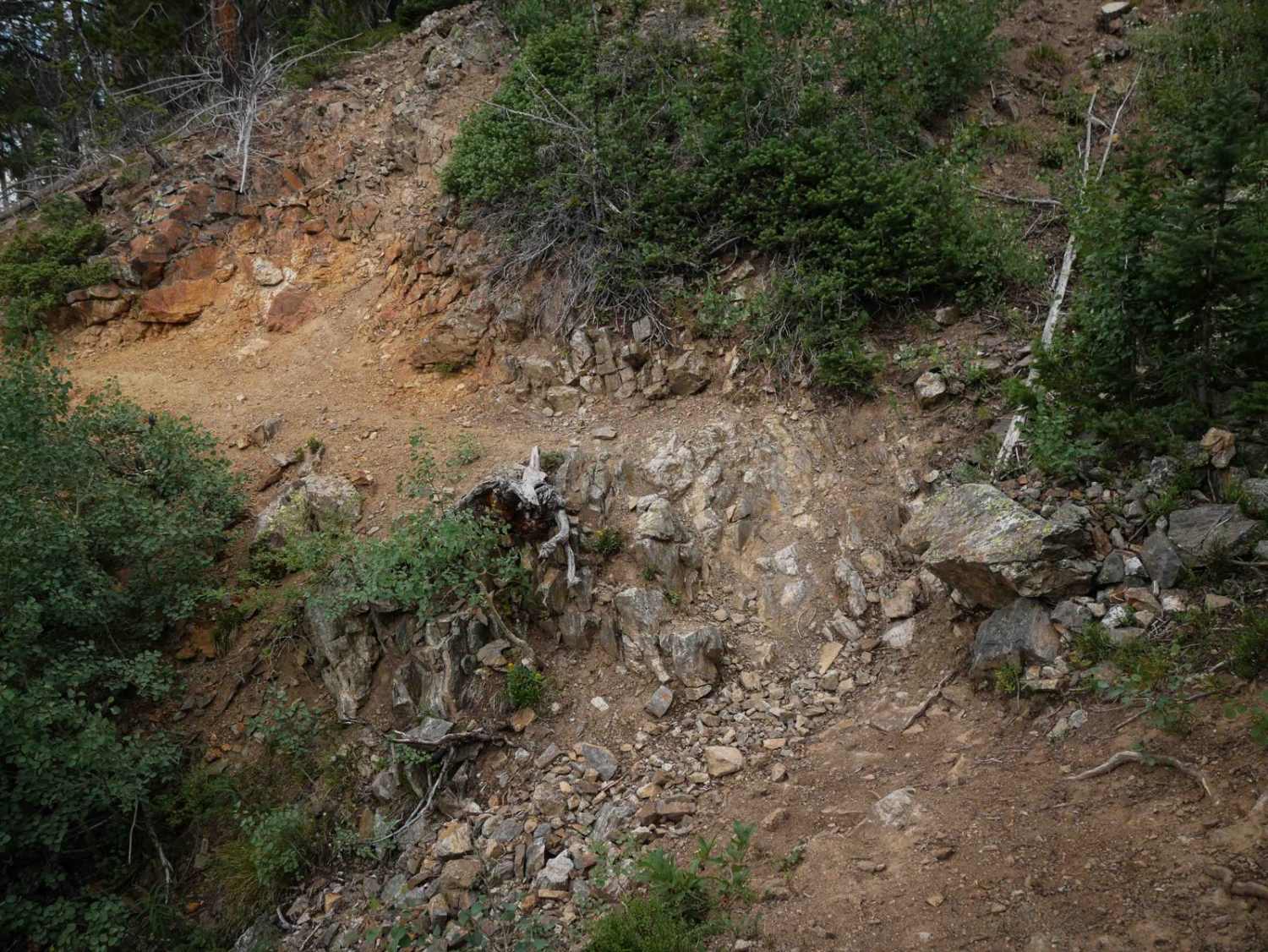
Jack Park Trail
Total Miles
2.0
Tech Rating
Moderate
Best Time
Summer, Fall
ATV trails in Colorado

Learn more about 16 Road, Coal Gulch
16 Road, Coal Gulch
Total Miles
14.1
Tech Rating
Easy
Best Time
Spring, Fall


UTV/side-by-side trails in Colorado
Learn more about 16 Road, Coal Gulch
16 Road, Coal Gulch
Total Miles
14.1
Tech Rating
Easy
Best Time
Spring, Fall

The onX Offroad Difference
onX Offroad combines trail photos, descriptions, difficulty ratings, width restrictions, seasonality, and more in a user-friendly interface. Available on all devices, with offline access and full compatibility with CarPlay and Android Auto. Discover what you’re missing today!