Illinois Pass Trail
Total Miles
5.3
Technical Rating
Best Time
Summer, Fall
Trail Type
50" Trail
Accessible By
Trail Overview
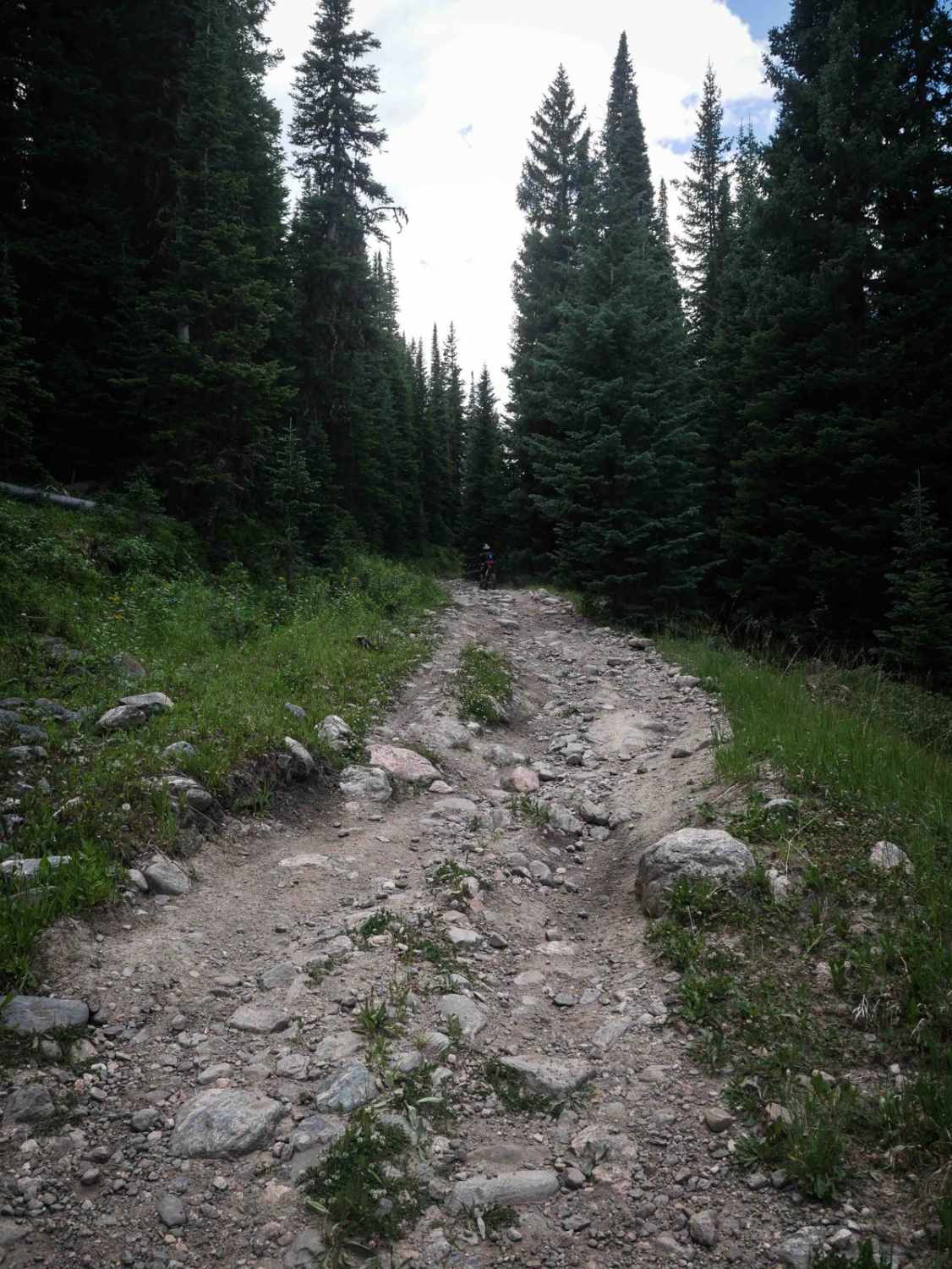
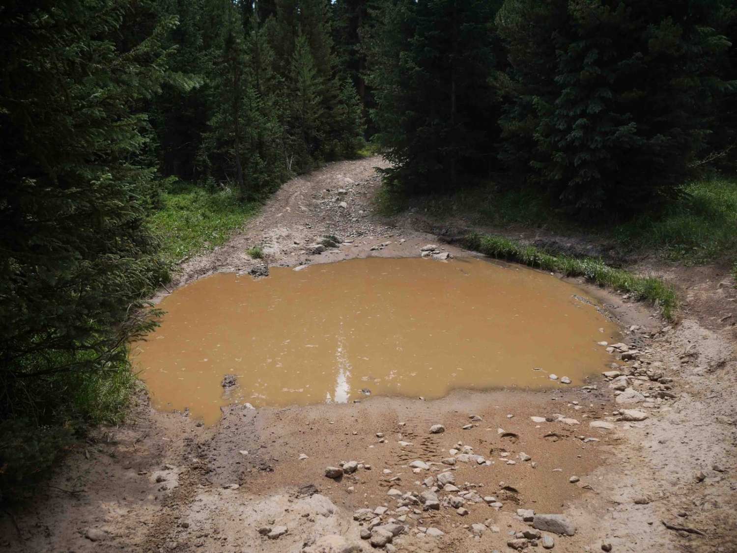
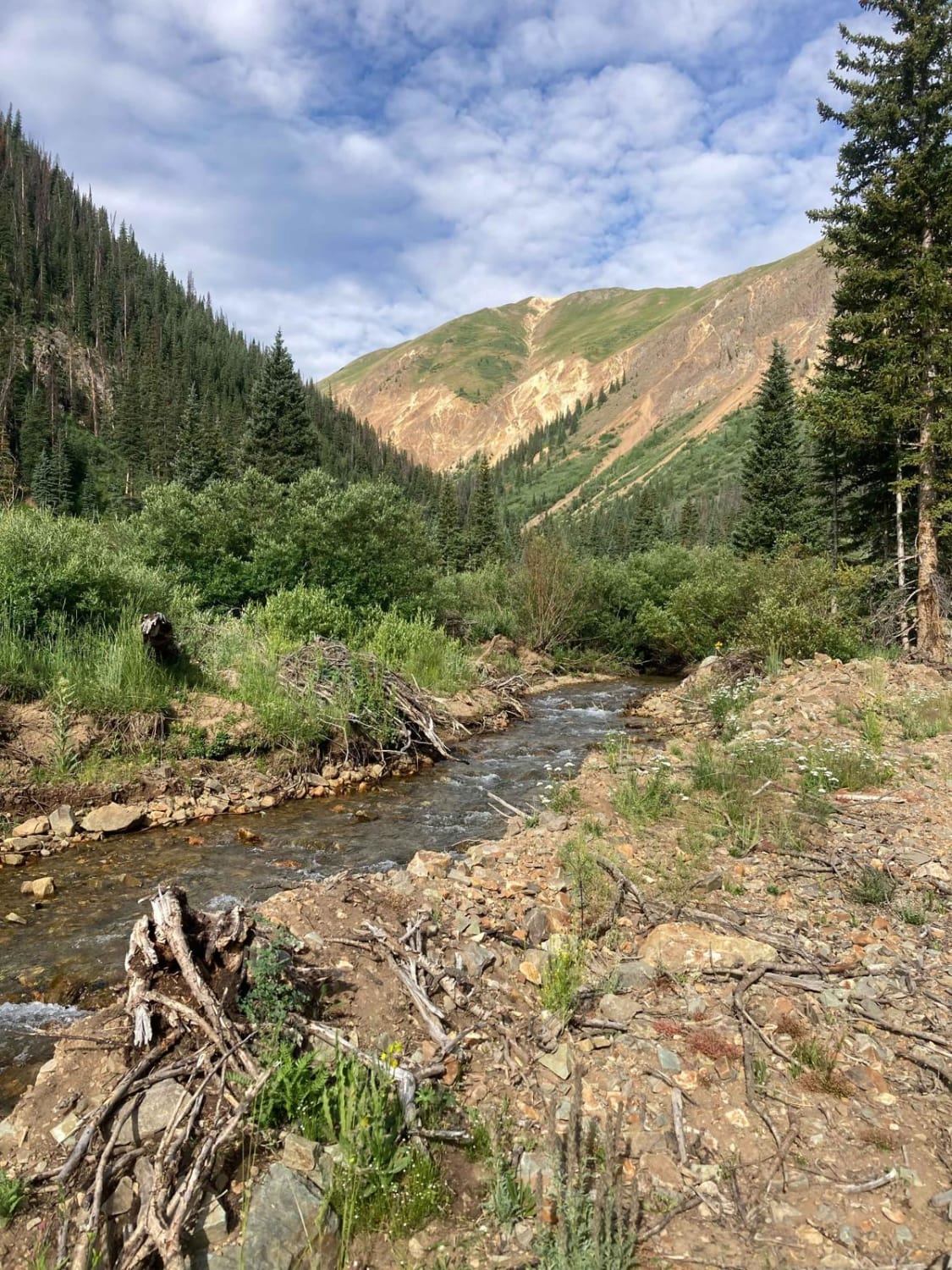
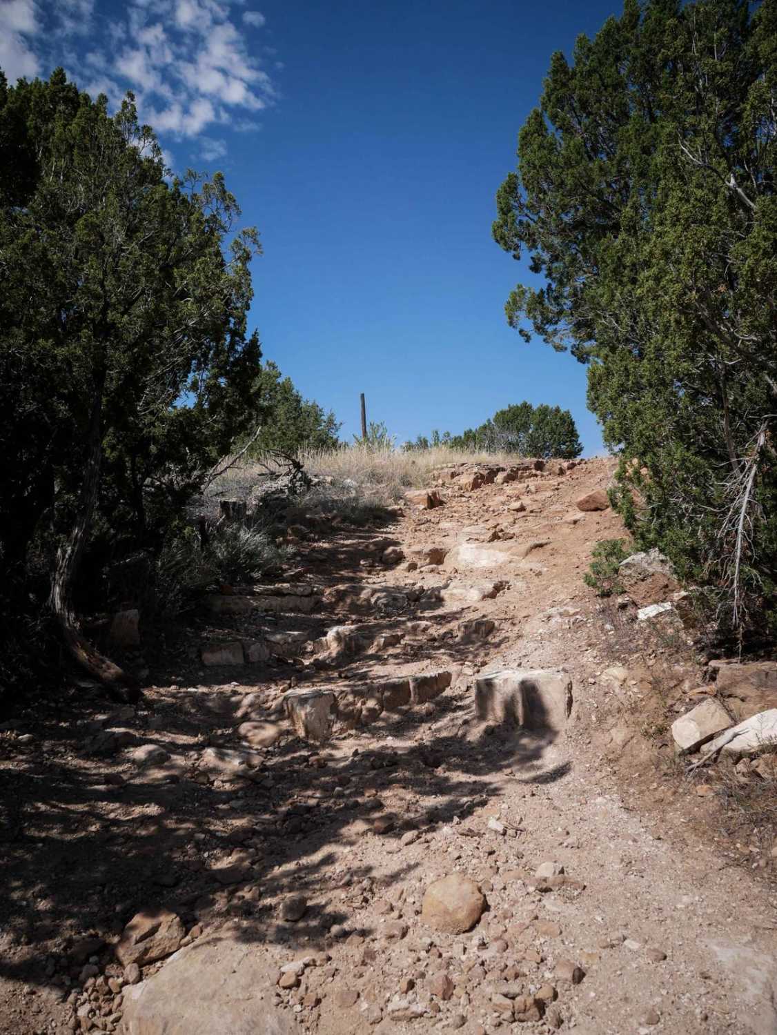
Illinois Pass Trail is a 5.4-mile-long moderate ATV trail in Arapaho National Forest with a pretty consistently rocky surface. The trail begins on the north end of Illinois River Road as a wide, road-like path with a loose rock layer and numerous large mud puddles of uncertain depth with muddy rutted edges. Throughout the trail, riders will encounter big embedded rocks and shallow ruts filled with loose rock, making for a slower ride despite the trail's gradual curves. After passing the intersection with Illinois Ditch, the trail descends steeply in a slaloming pattern, with off-camber rain ruts and small loose rock requiring careful line choice, choosing between the high points and the troughs. After intersecting with Willow Pass Trail, the trail climbs again with steep, rutted curves, though this section has less rock and a smoother surface. The trail becomes easier, but curvier, south of Willow Pass Trail, mostly descending through a series of tight turns and multiple wooden bridge crossings over streams and muddy patches before ending at the Illinois Pass Trailhead. The route maintains a consistent width suitable for 50-inch vehicles from end to end. The trail is closed seasonally from 11/16 to 6/14.
Photos of Illinois Pass Trail
Difficulty
This is an intermediate trail due to frequent loose rock, steep rutted descents and climbs, and numerous mud puddles and rocky surfaces. The southern half is easier and less rocky than the northern half.
Status Reports
Illinois Pass Trail can be accessed by the following ride types:
- ATV (50")
- Dirt Bike
Illinois Pass Trail Map
Popular Trails
South Fork Animas Trailhead

West Pine Creek Road

The onX Offroad Difference
onX Offroad combines trail photos, descriptions, difficulty ratings, width restrictions, seasonality, and more in a user-friendly interface. Available on all devices, with offline access and full compatibility with CarPlay and Android Auto. Discover what you’re missing today!