Hurricane Peak
Total Miles
1.7
Technical Rating
Best Time
Summer, Fall
Trail Type
High-Clearance 4x4 Trail
Accessible By
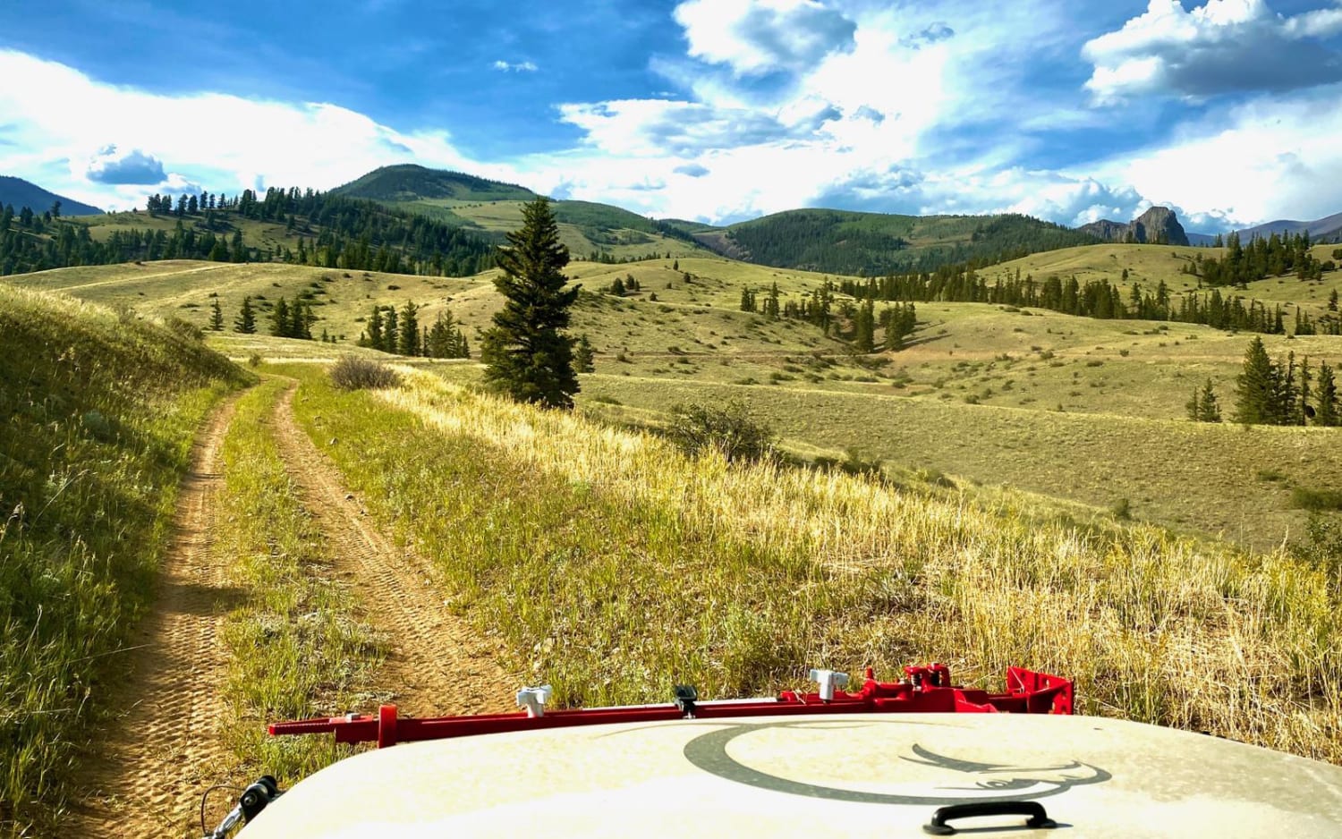
Trail Overview
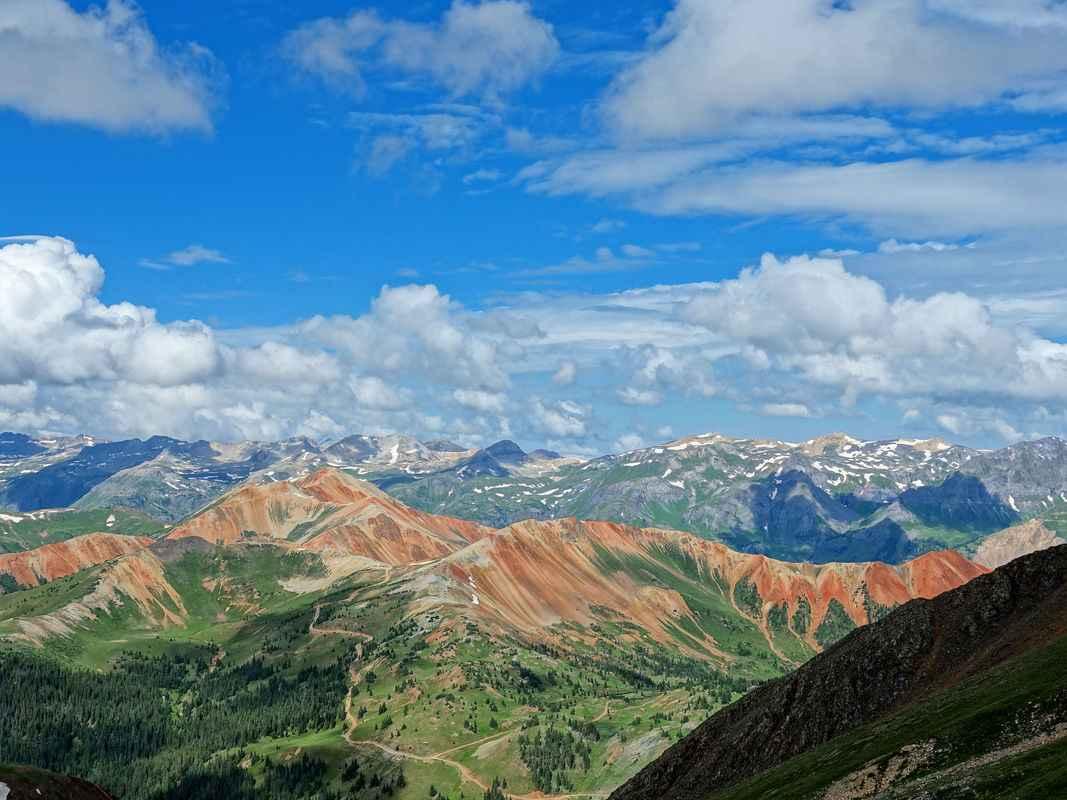
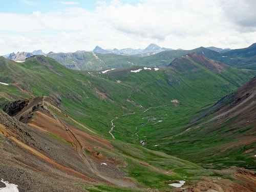
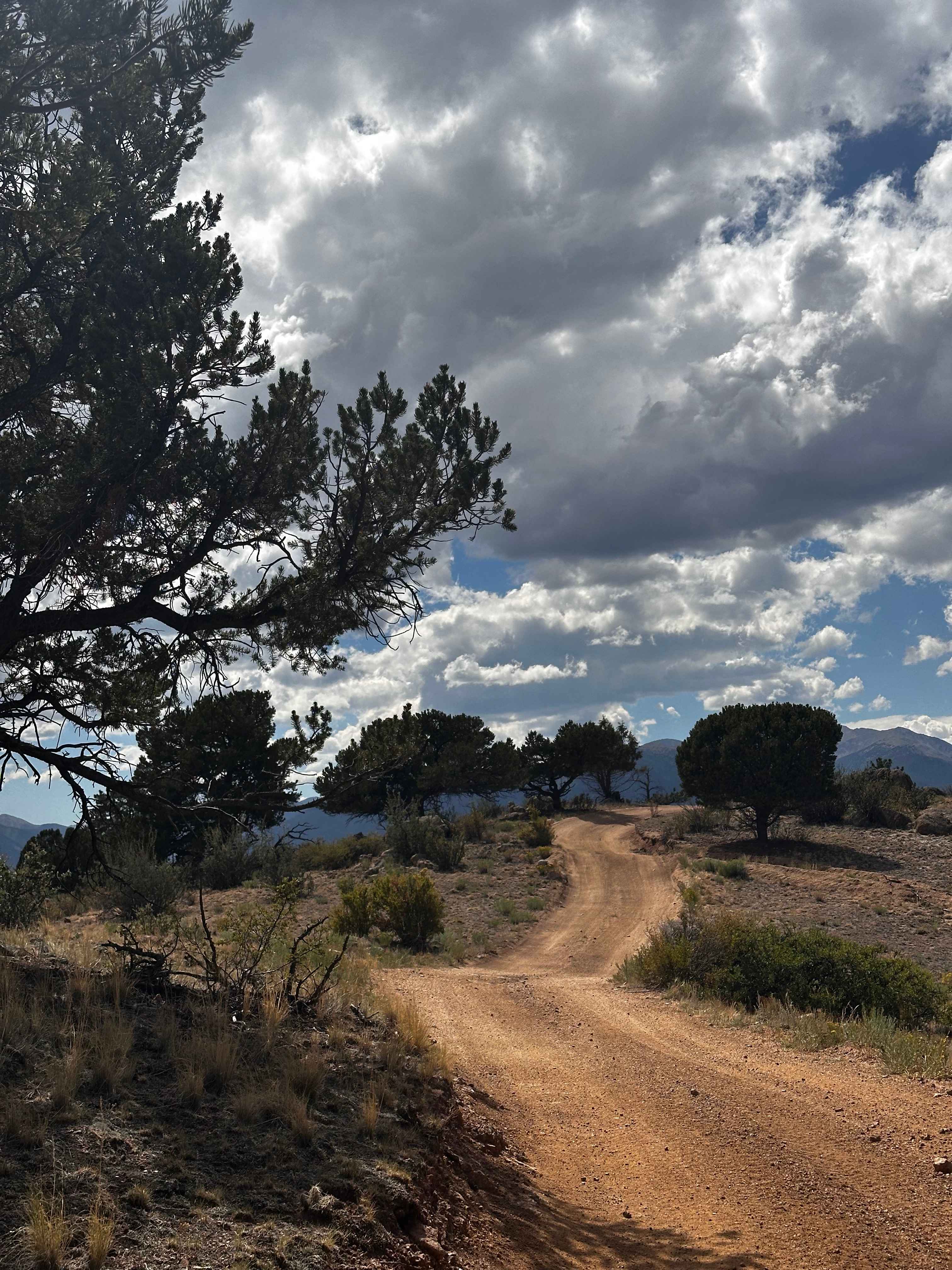
A beautiful Jeep trail leading to the flank of Hurricane Peak at 13,200'. We believe the views from the end of this trail are the best in the San Juans. This road is a strong 4 because it has somewhat steep climbs on a somewhat narrow road, novice drivers will be intimidated. The first spur road to the right will take you down into Ross Basin, at the upper end of Cement Creek. There is a series of small lakes beyond the end of the spur. Climb up to Sunnyside Saddle and get a view of Eureka Gulch, the spot where Lake Emma drained into a labyrinth of mines. The history of this basin is described in Eureka Gulch. Catch your breath then head up the hill toward the end of the road.
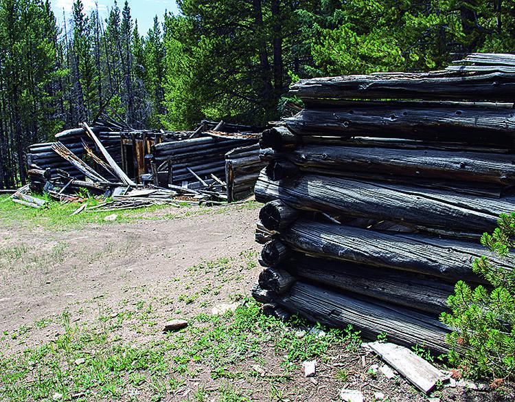
Photos of Hurricane Peak
Difficulty
Uneven, rutted dirt trail with loose rocks, sand, erosion, and washes. Potential water crossings up to a foot deep, mud holes, and obstacles up to 18", including ledges and short, steep grades. Roads are typically one vehicle wide with places to pass.
Status Reports
Hurricane Peak can be accessed by the following ride types:
- High-Clearance 4x4
- SxS (60")
- ATV (50")
- Dirt Bike
Hurricane Peak Map
Popular Trails
Forest Service Road 376B
Rock Creek Road
Bald Mountain
Fr 504 D1 Bachelor Rd & Momon Hill Rds
The onX Offroad Difference
onX Offroad combines trail photos, descriptions, difficulty ratings, width restrictions, seasonality, and more in a user-friendly interface. Available on all devices, with offline access and full compatibility with CarPlay and Android Auto. Discover what you’re missing today!