Illinois Ditch Trail
Total Miles
4.4
Technical Rating
Best Time
Summer, Fall
Trail Type
50" Trail
Accessible By
Trail Overview
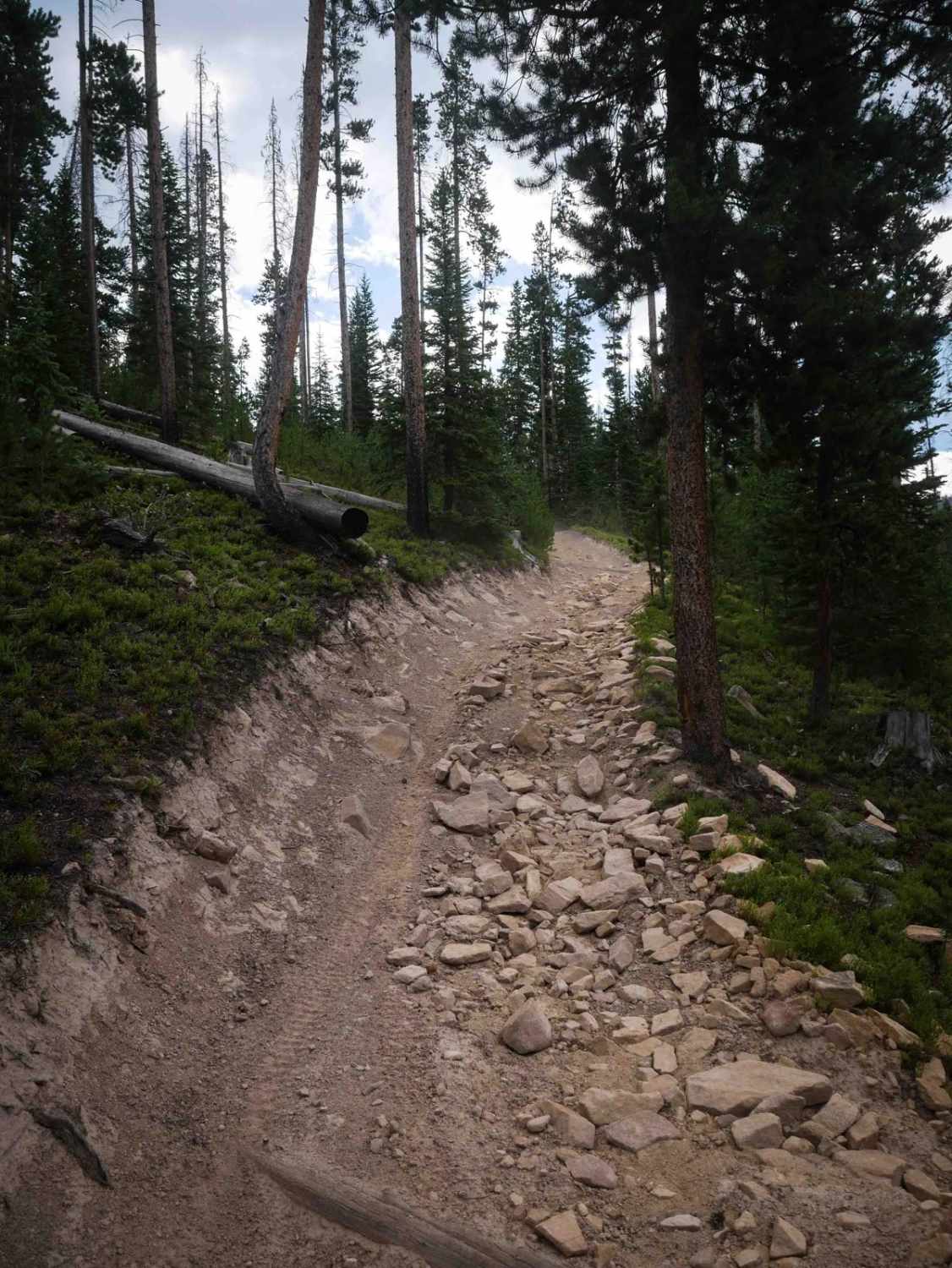
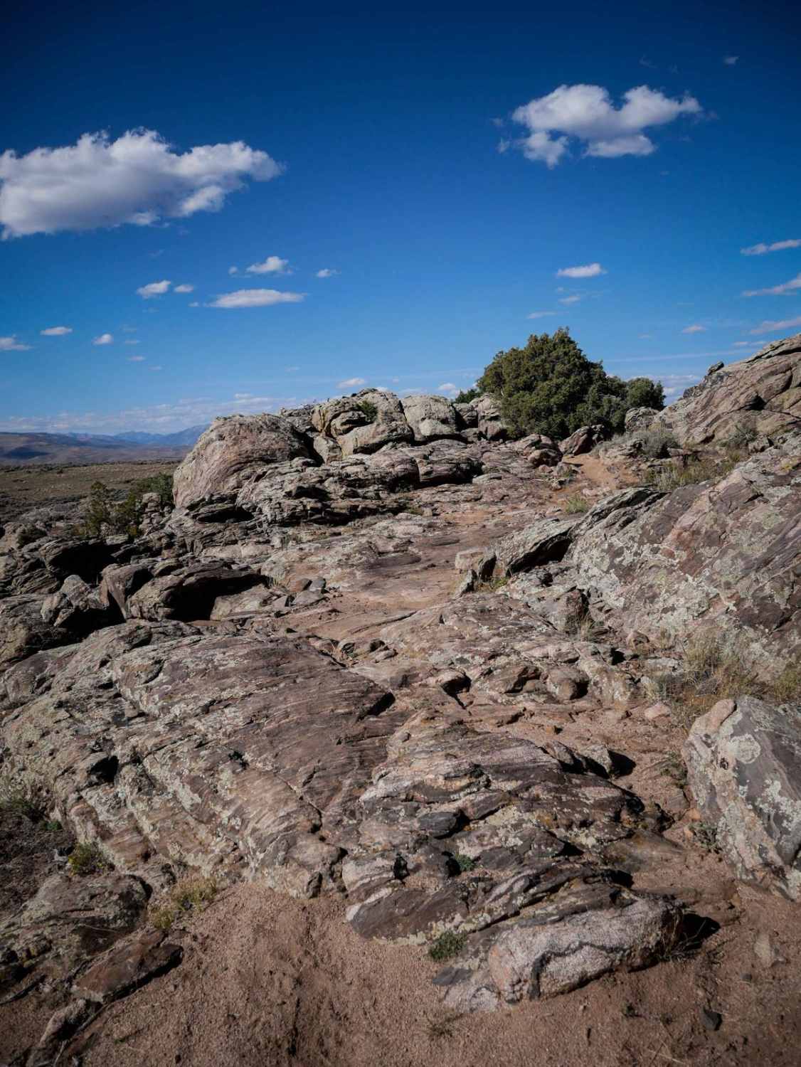
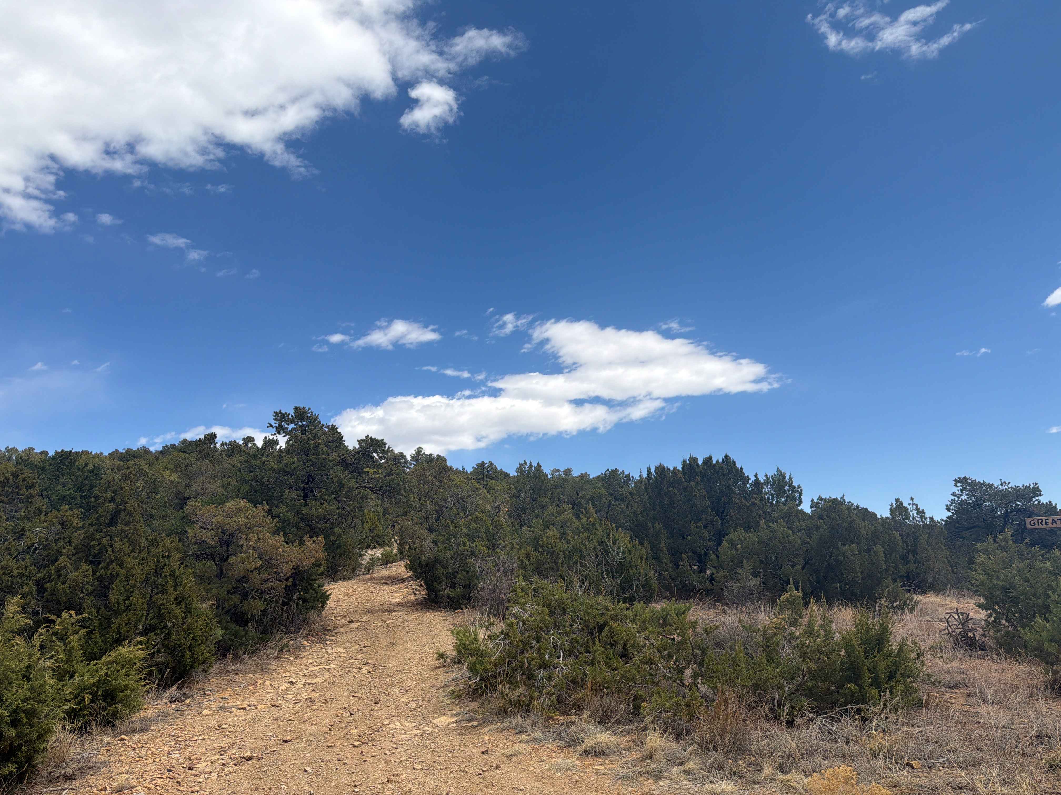
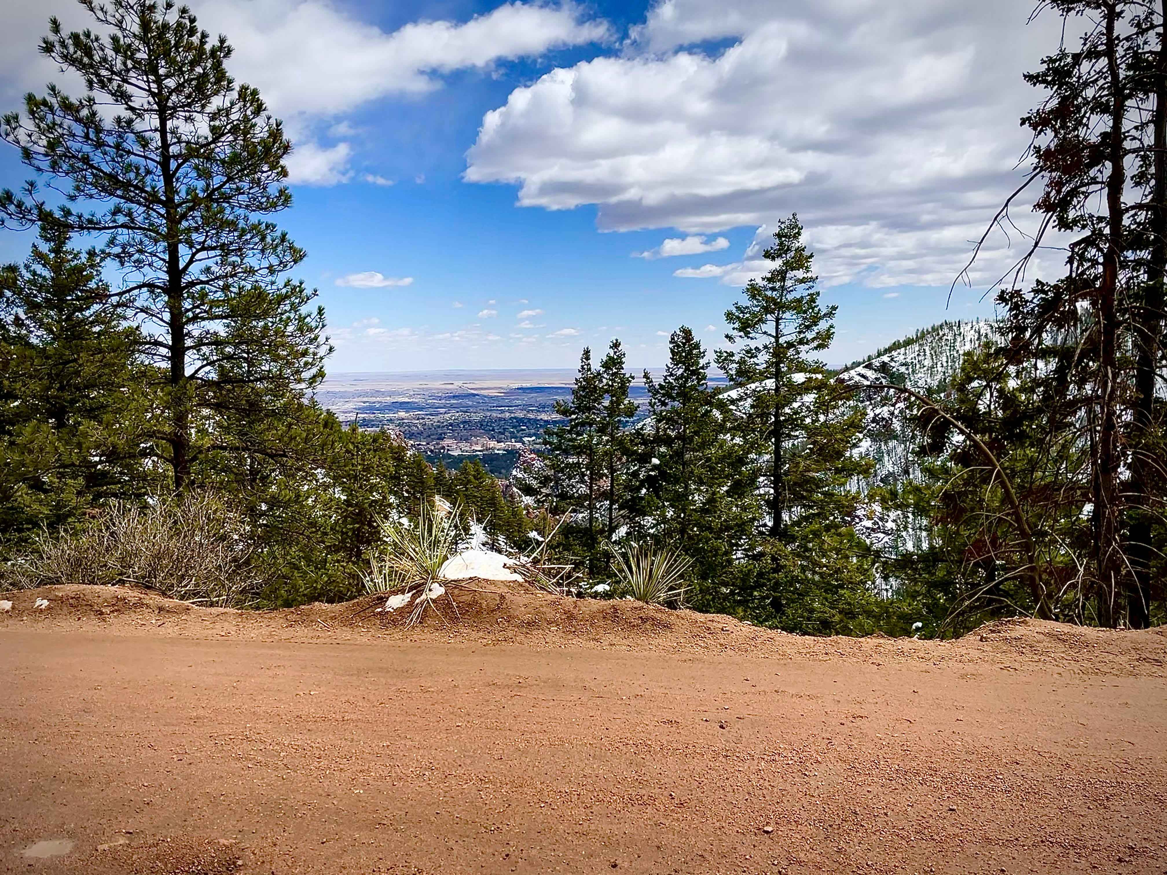
Illinois Ditch Trail is a 4.4-mile moderately difficult ATV trail that begins at its north end as a short segment of two-track from its intersection with Radial Mountain Trail. It quickly transitions onto a fast, straight road section for about 2.5 miles, which is mostly easy with shallow ruts and shelfy sections overlooking the mountainsides. After this, the trail turns left onto a much rockier two-track at a signed intersection, where the terrain becomes more technical with big loose rock, embedded cobble, and steeper curving climbs. Root bands and embedded rocks fill the path, especially in tight turns near the top of the climb. The trail then levels out and goes through a narrow ridge line corridor tightly lined by pine trees, kind of like a tunnel. This ridge is flat and straight, with one more loose, rocky climb, then flattens out again before it ends at a junction with the Illinois Pass ATV Trail.
Photos of Illinois Ditch Trail

Difficulty
This is an intermediate trail due to the loose rock, steep climbs, and tight, technical turns. While portions are smoother and more gradual, the steep rocky sections elevate the difficulty. The road portion is very easy.
Status Reports
Illinois Ditch Trail can be accessed by the following ride types:
- ATV (50")
- Dirt Bike
Illinois Ditch Trail Map
Popular Trails
Pomeroy Lake - FS 297
Lower Gold Camp Road
The onX Offroad Difference
onX Offroad combines trail photos, descriptions, difficulty ratings, width restrictions, seasonality, and more in a user-friendly interface. Available on all devices, with offline access and full compatibility with CarPlay and Android Auto. Discover what you’re missing today!