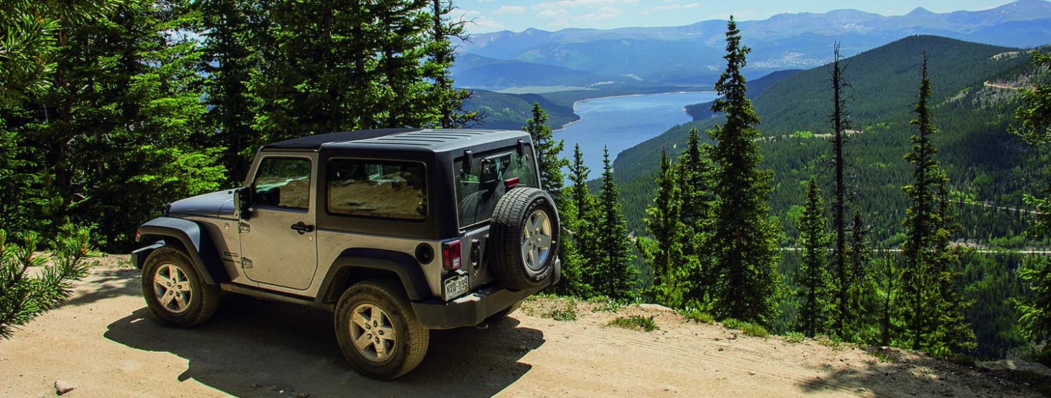
Off-Road Trails in Colorado
Discover off-road trails in Colorado
Learn more about Guernsey Road - FS 810
Guernsey Road - FS 810
Total Miles
4.4
Tech Rating
Easy
Best Time
Summer, Fall
Learn more about Gunnison Gorge South River Road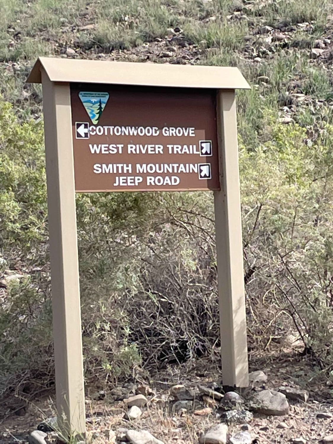
Gunnison Gorge South River Road
Total Miles
4.4
Tech Rating
Easy
Best Time
Spring, Summer, Fall
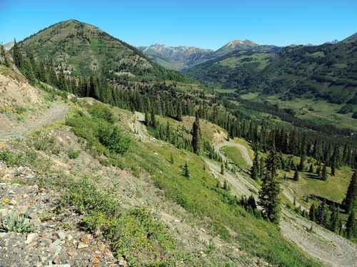
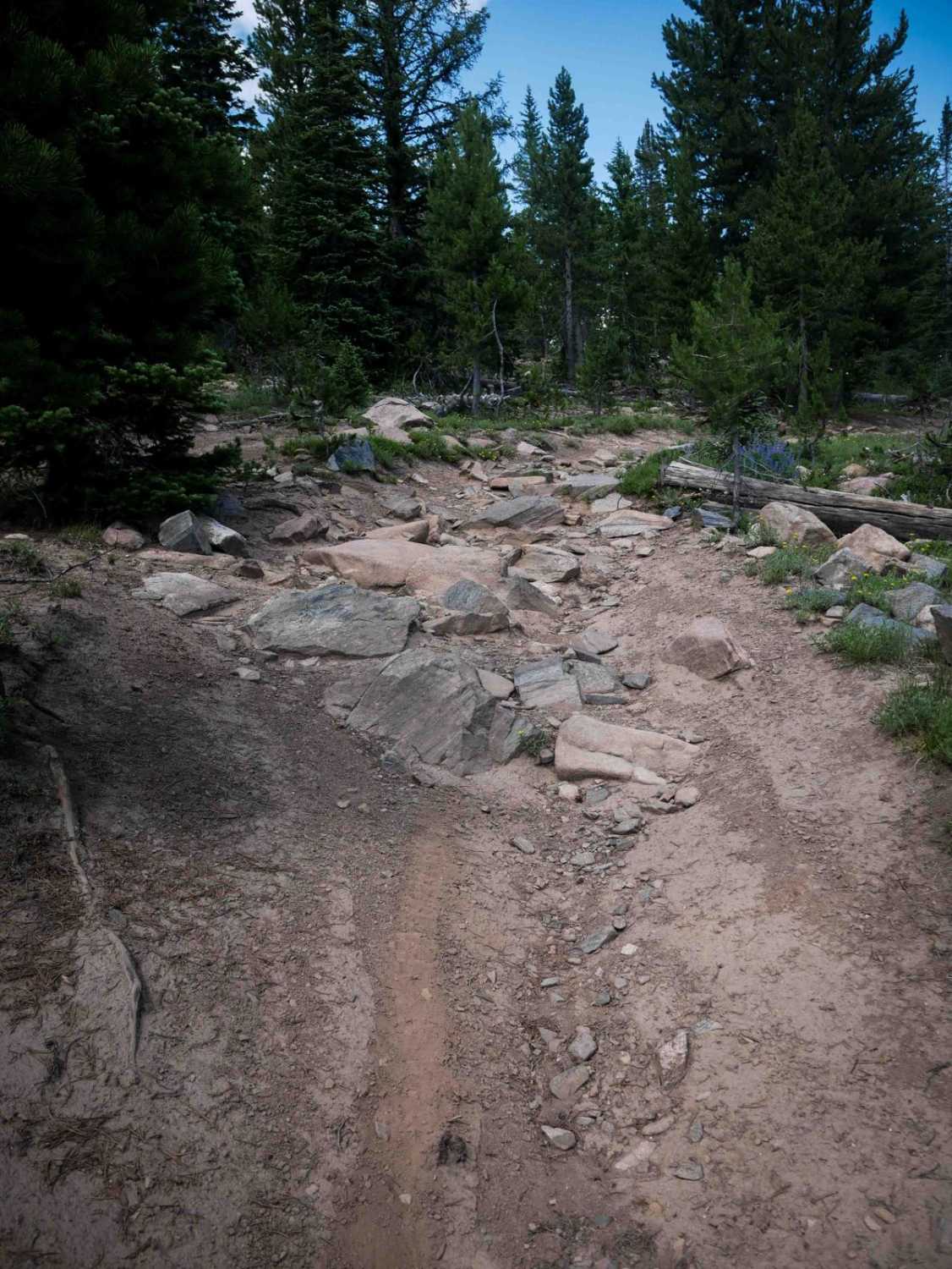
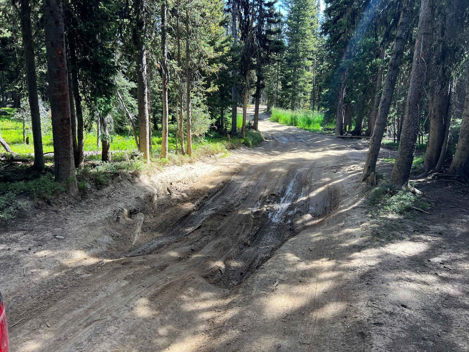
Learn more about Hackett Gulch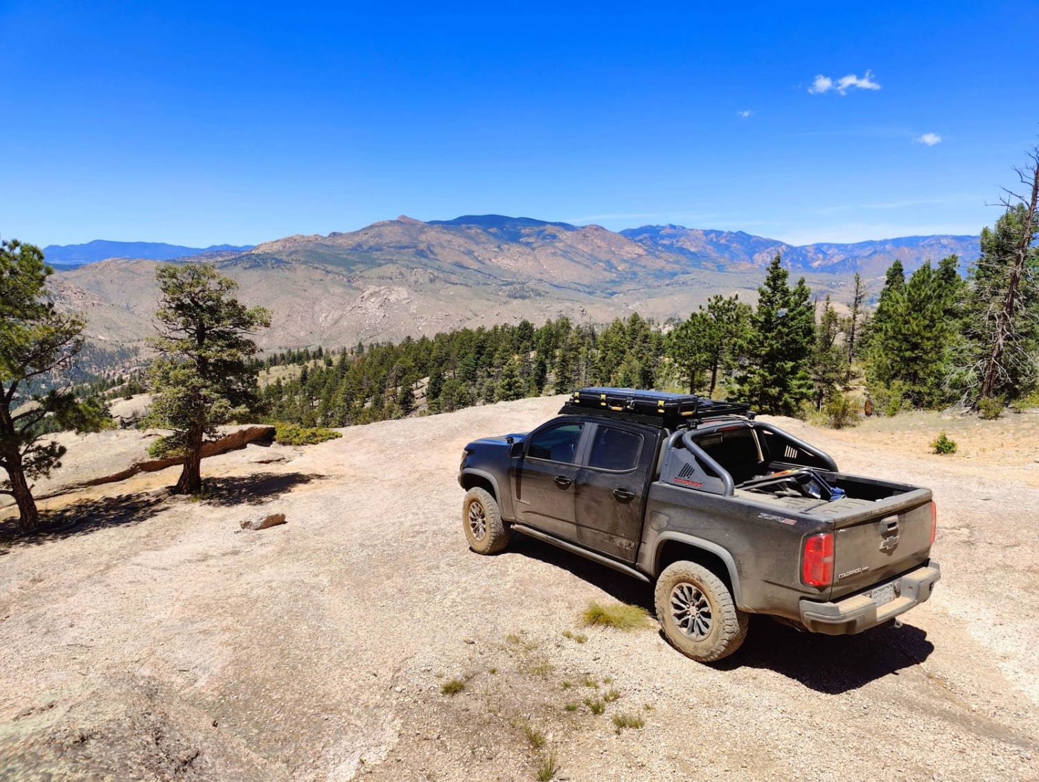
Hackett Gulch
Total Miles
3.8
Tech Rating
Moderate
Best Time
Spring, Summer, Fall
Learn more about Hall Valley Road - Park County 60
Hall Valley Road - Park County 60
Total Miles
4.4
Tech Rating
Easy
Best Time
Summer
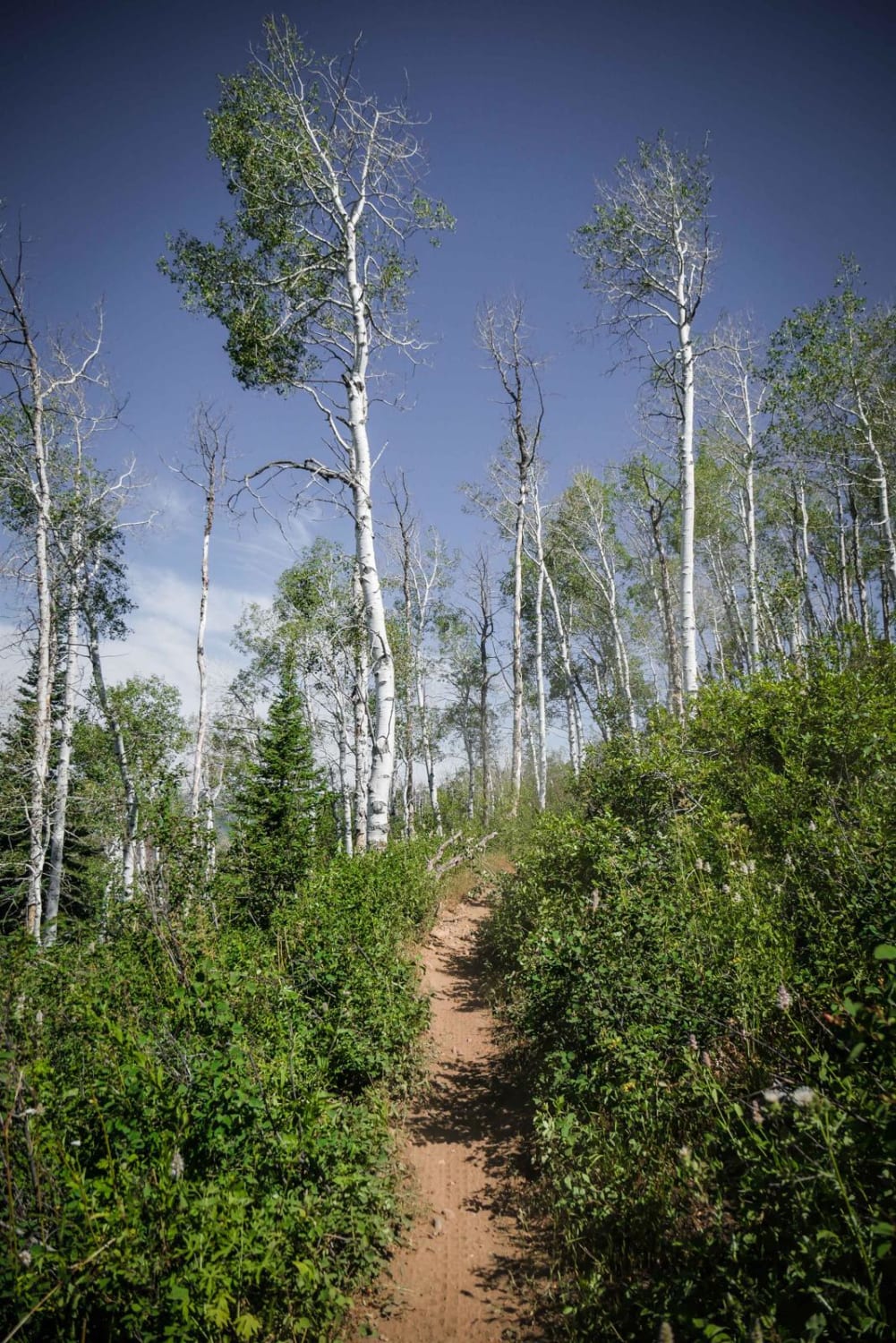
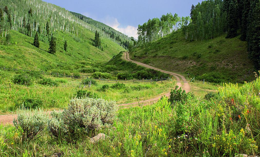
Learn more about Handcart Gulch Road
Handcart Gulch Road
Total Miles
5.6
Tech Rating
Moderate
Best Time
Fall
Learn more about Happy Platte Road Forest Road 295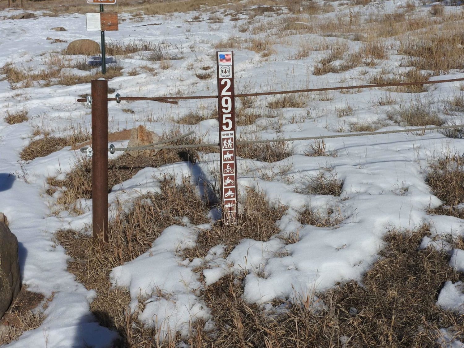
Happy Platte Road Forest Road 295
Total Miles
4.8
Tech Rating
Easy
Best Time
Spring, Summer, Fall, Winter

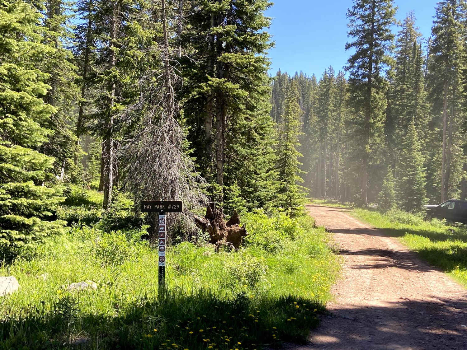
Learn more about Hay Gulch ATV
Hay Gulch ATV
Total Miles
1.0
Tech Rating
Easy
Best Time
Fall, Summer, Spring
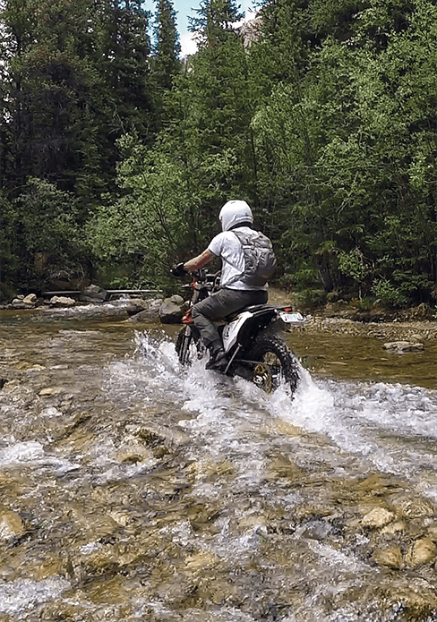
ATV trails in Colorado

Learn more about 16 Road, Coal Gulch
16 Road, Coal Gulch
Total Miles
14.1
Tech Rating
Easy
Best Time
Spring, Fall


UTV/side-by-side trails in Colorado
Learn more about 16 Road, Coal Gulch
16 Road, Coal Gulch
Total Miles
14.1
Tech Rating
Easy
Best Time
Spring, Fall

The onX Offroad Difference
onX Offroad combines trail photos, descriptions, difficulty ratings, width restrictions, seasonality, and more in a user-friendly interface. Available on all devices, with offline access and full compatibility with CarPlay and Android Auto. Discover what you’re missing today!