Harrison Creek
Total Miles
9.6
Technical Rating
Best Time
Summer, Fall
Trail Type
Full-Width Road
Accessible By
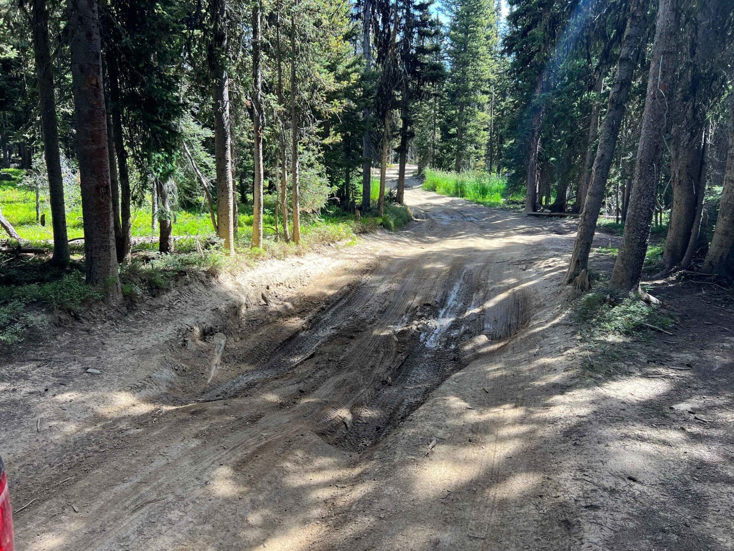
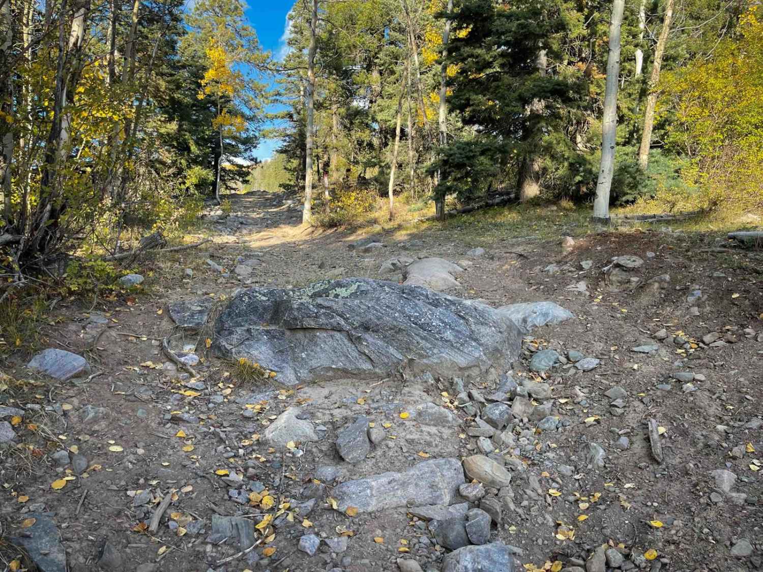
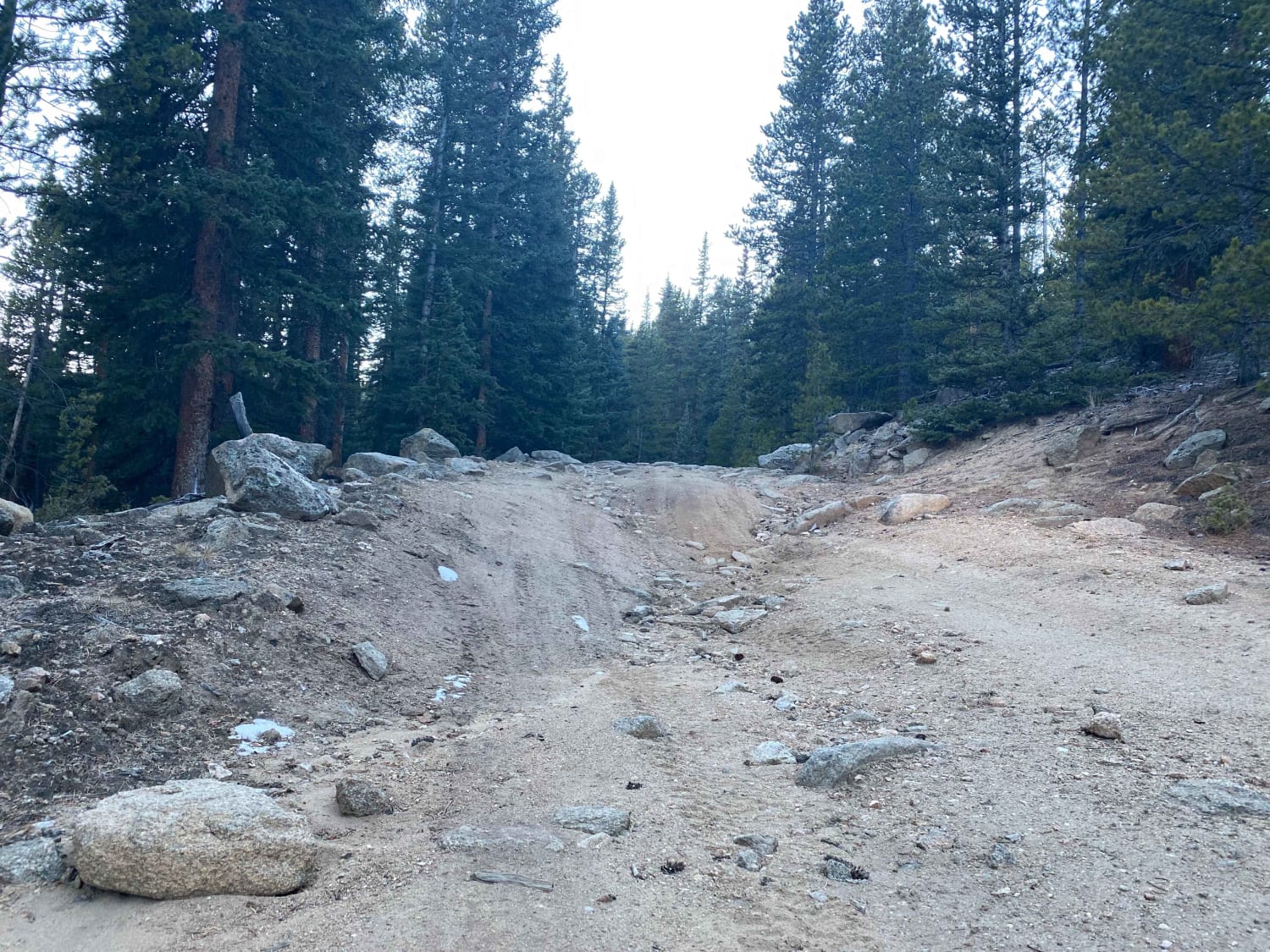
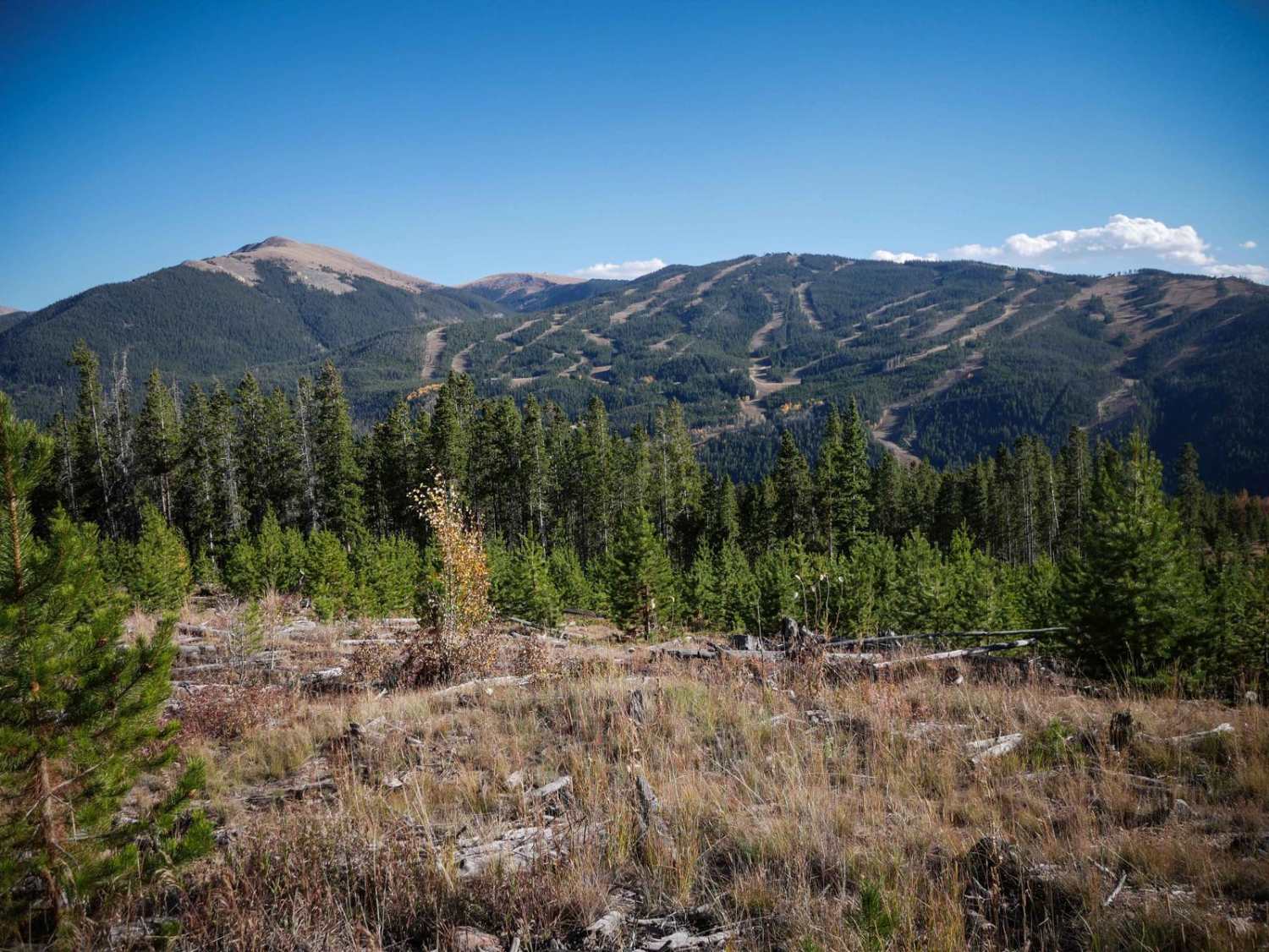
Trail Overview
Harrison Creek trail is a muddy rocky trail with lots of shallow mud pits and loose rock the further you go past the Walton Peak turn-off. It ends at Harrison Creek at the edge of Sarvis Creek Wilderness with a small campsite. Lots of wildlife can be seen along this route with many snowmobiling trails for the winter.
Photos of Harrison Creek
Difficulty
Lots of mud pits and loose rocks, logs etc. Tight trail in some areas.
Status Reports
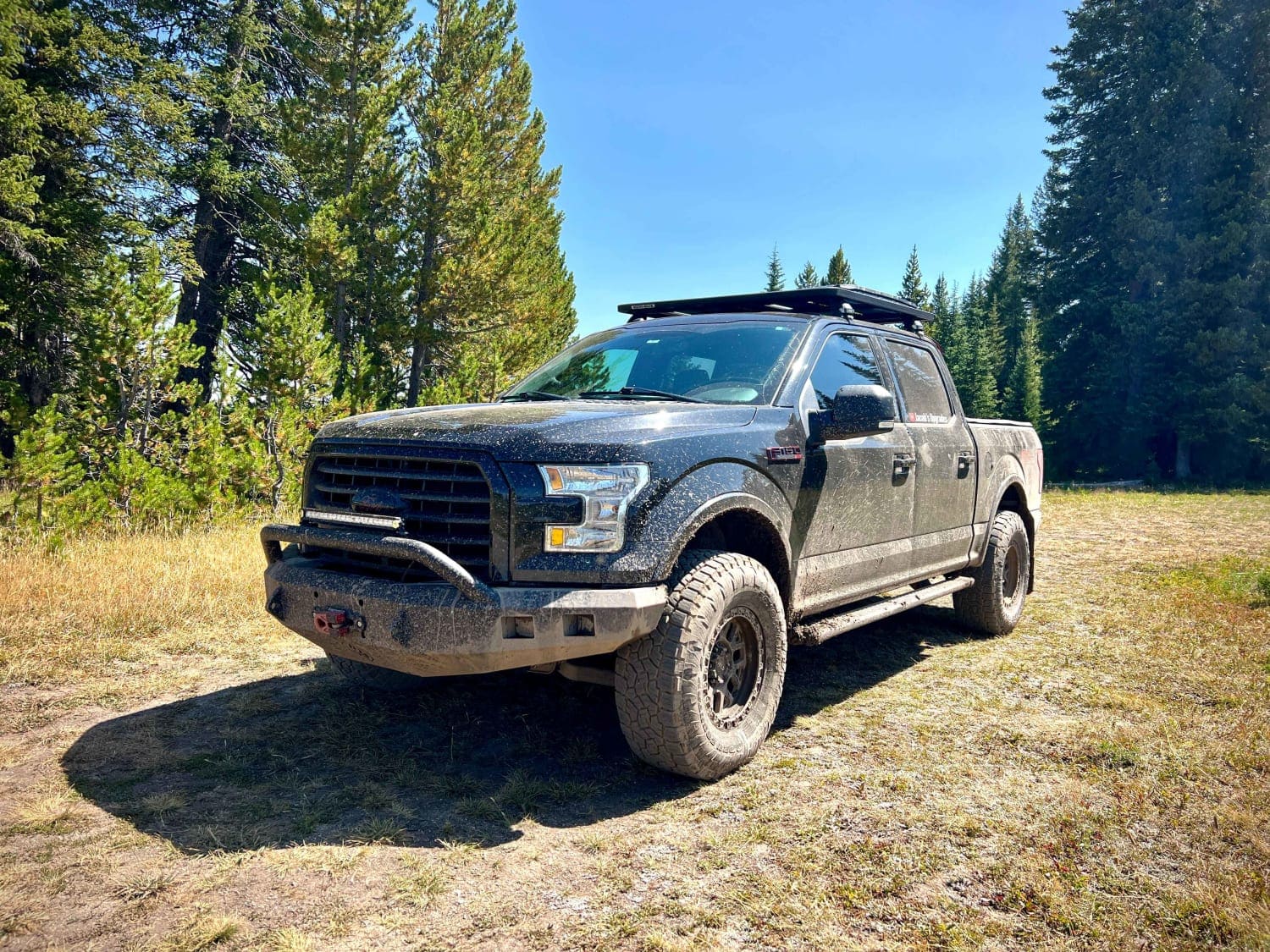
Harrison Creek can be accessed by the following ride types:
- High-Clearance 4x4
- SUV
Harrison Creek Map
Popular Trails
Chimney Rock Road (West Carter Mountain)
Bonis Creek Trail 853
The onX Offroad Difference
onX Offroad combines trail photos, descriptions, difficulty ratings, width restrictions, seasonality, and more in a user-friendly interface. Available on all devices, with offline access and full compatibility with CarPlay and Android Auto. Discover what you’re missing today!