Chimney Rock Road (West Carter Mountain)
Total Miles
10.2
Technical Rating
Best Time
Summer
Trail Type
Full-Width Road
Accessible By
Trail Overview
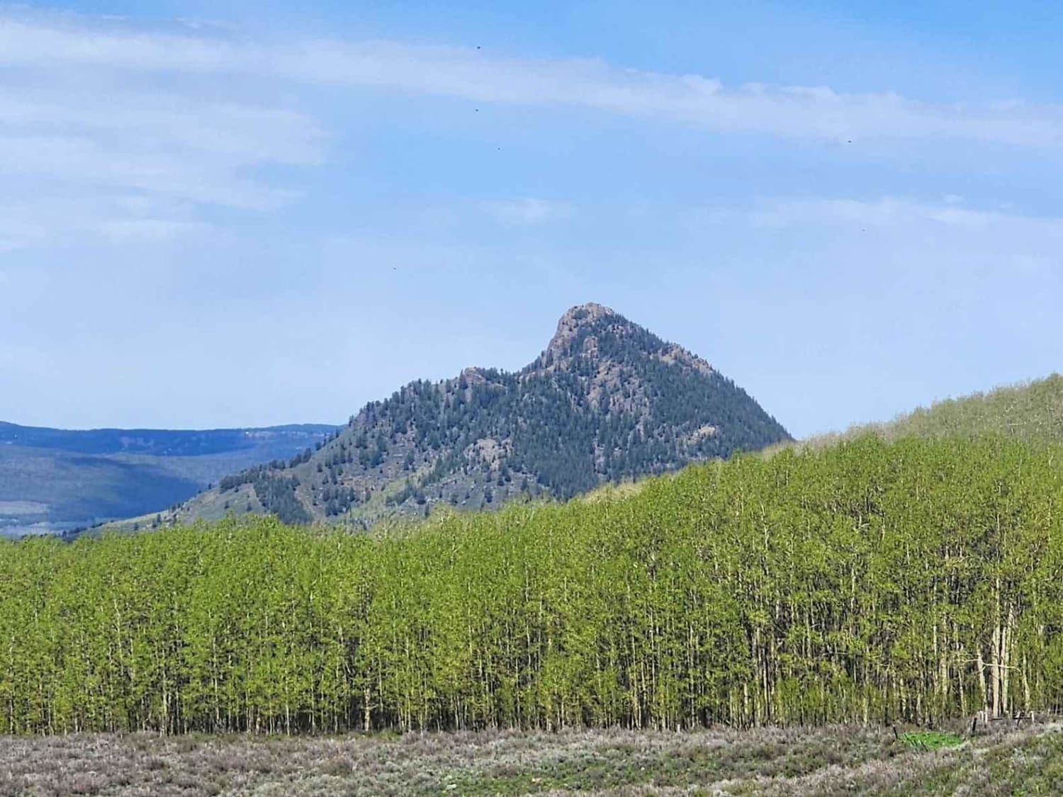
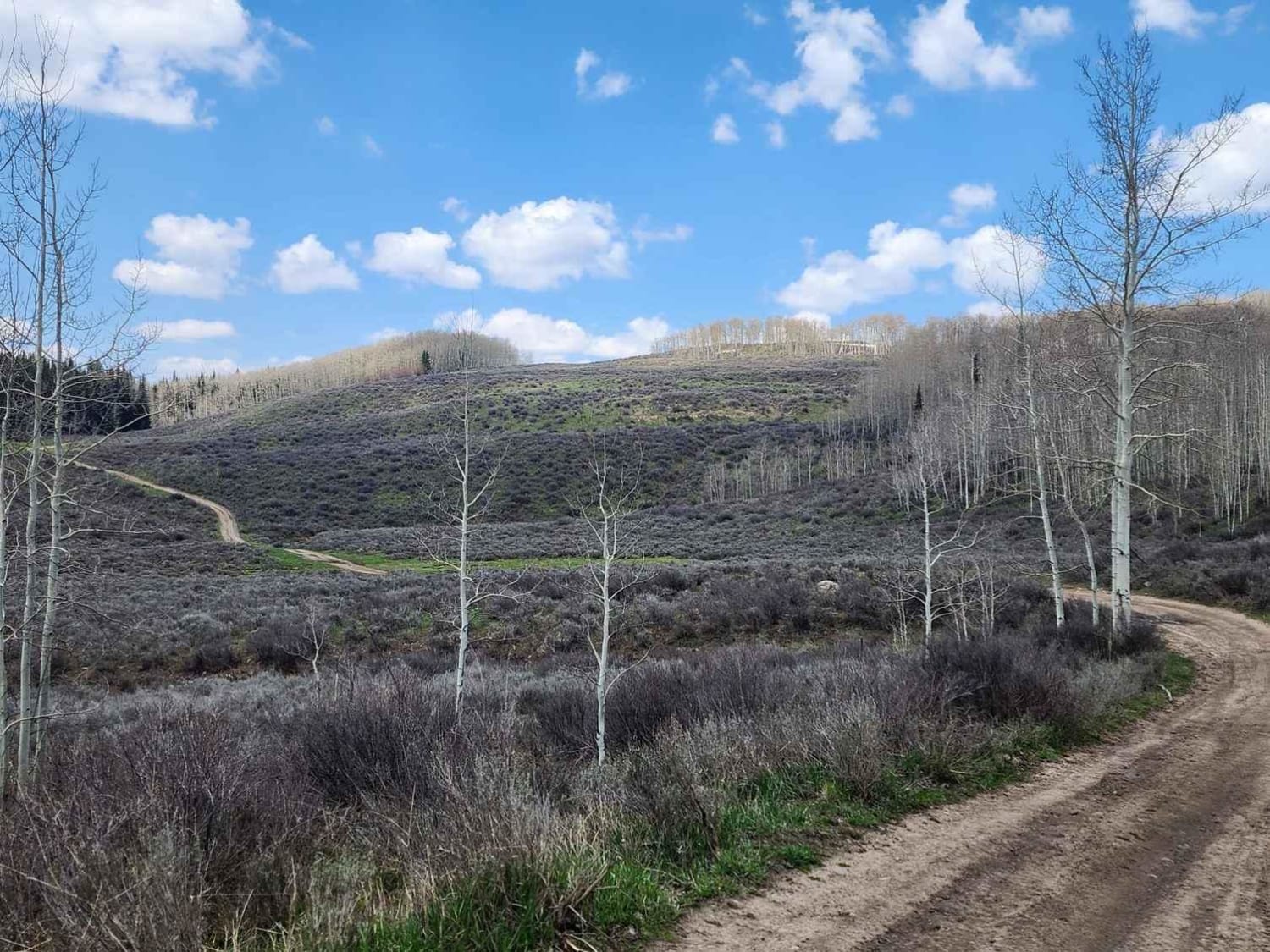
Chimney Rock is a gravel/dirt road that leads to the West Carter Mountain area and a state Game Reserve of the same name. There are unmapped ATV-only roads in the game reserve as well. A hunting license is required to enter the land, even if not hunting. Seasonal restrictions apply to land use within the reserve itself. At the high point of the road near Chimney Rock, you can continue north on Indian Creek Road and head south on Arapaho Creek Road. The land is used for ranching in the summer, and elk winter in this area.
Photos of Chimney Rock Road (West Carter Mountain)
Difficulty
The road begins as a gravel road and becomes dirt higher up with deep ruts and mud holes in places.
History
This area of Colorado did not have mining and these roads were bult for ranching and timber.
Status Reports
Chimney Rock Road (West Carter Mountain) can be accessed by the following ride types:
- High-Clearance 4x4
- SUV
- SxS (60")
- ATV (50")
- Dirt Bike
Chimney Rock Road (West Carter Mountain) Map
Popular Trails

Lonestar ATV Loop
Transfer Road 967.1
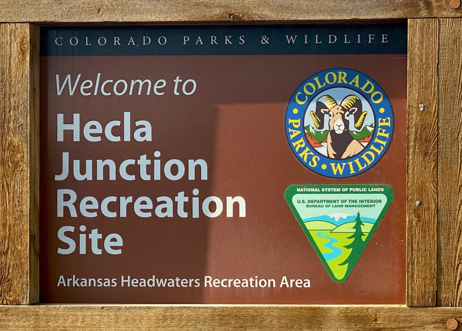
Hecla Junction - Arkansas River Headwaters
The onX Offroad Difference
onX Offroad combines trail photos, descriptions, difficulty ratings, width restrictions, seasonality, and more in a user-friendly interface. Available on all devices, with offline access and full compatibility with CarPlay and Android Auto. Discover what you’re missing today!
