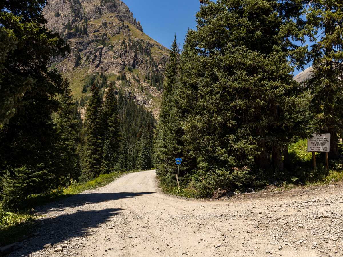
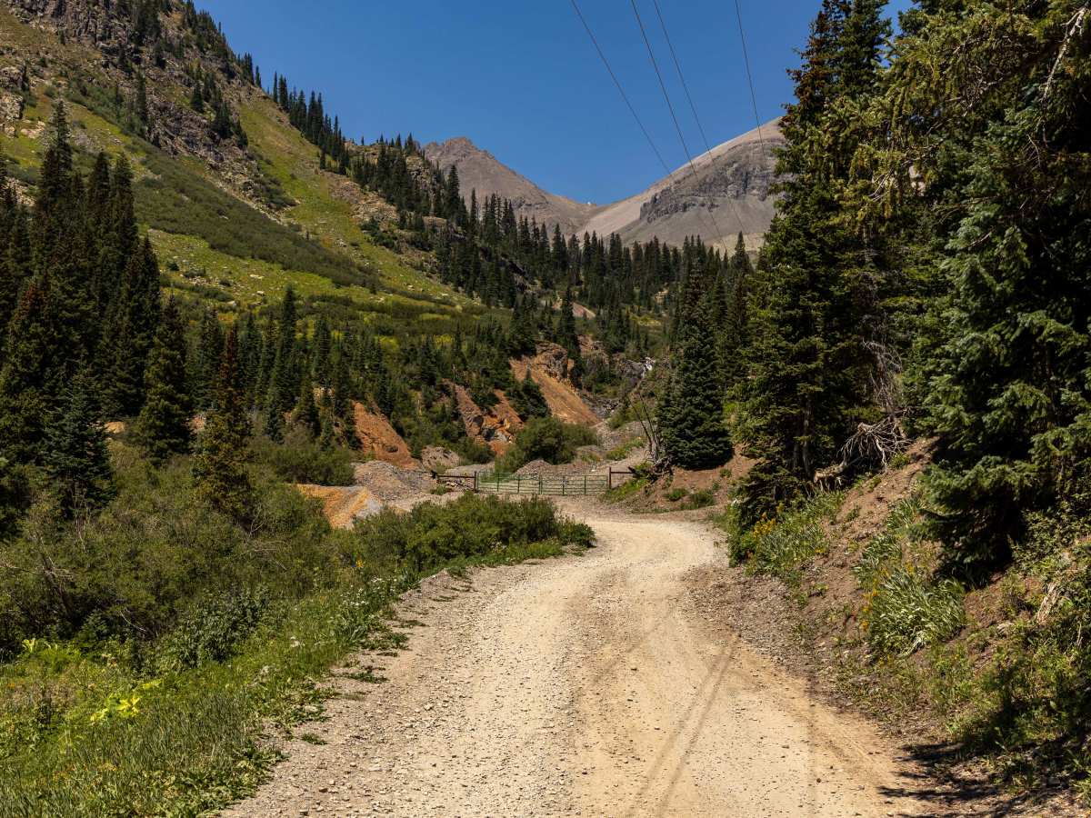
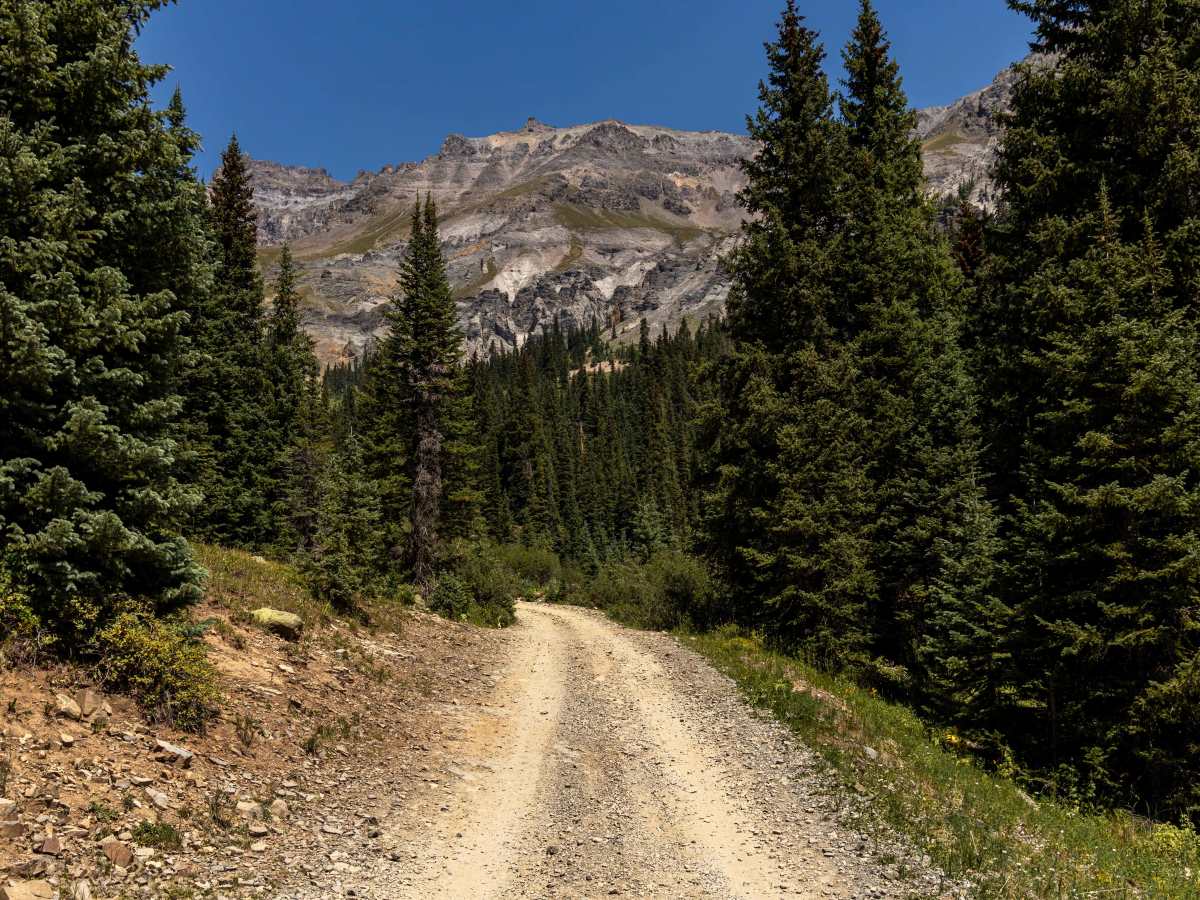
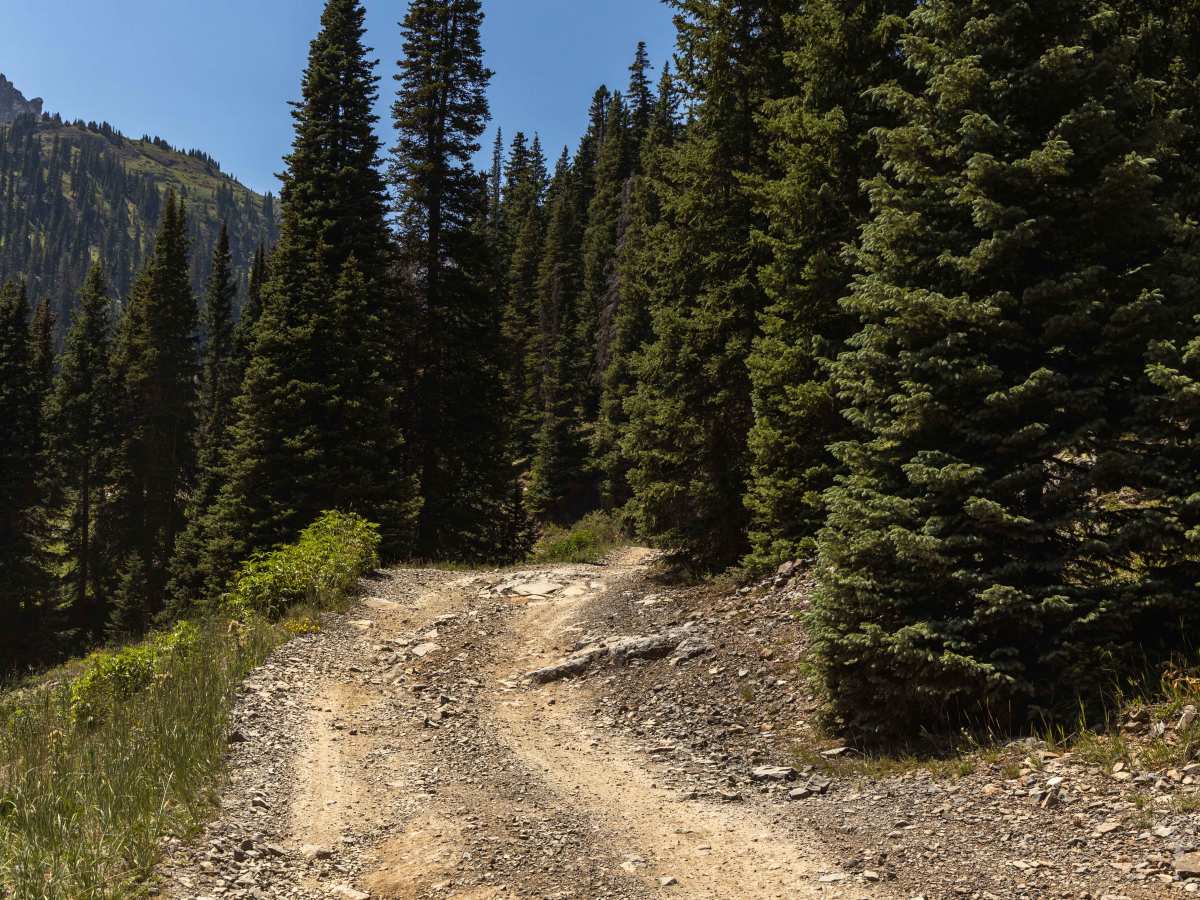
Trail Overview
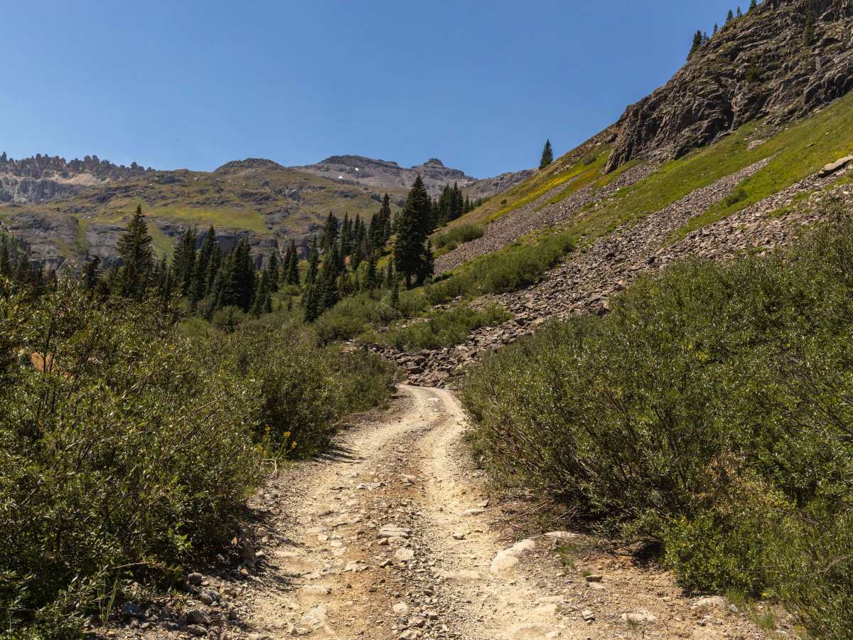
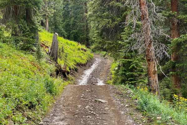
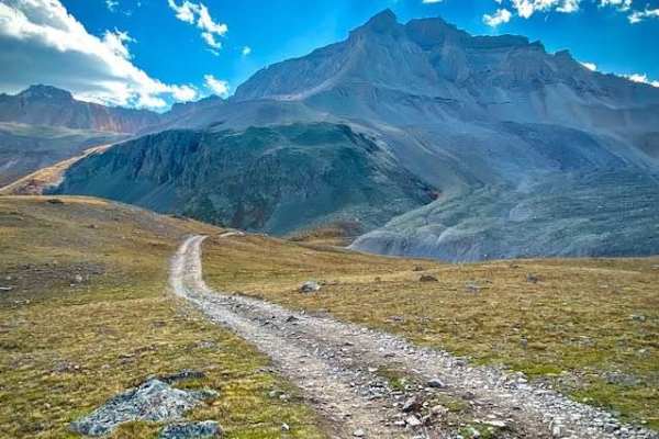
The Governors Basin Trail is a rugged alpine route that climbs steadily into the high country above Ouray. The road is narrow and primarily one lane, with uphill shelf-road exposure for roughly 90% of its length. Conditions are rocky throughout, with some rougher sections that demand careful tire placement, though overall the trail rates as a moderate 3 difficulty. There are no services or cellular coverage along the way, so preparation is important. The road terminates at a gate near the top, marking the end of vehicle access.
Difficulty
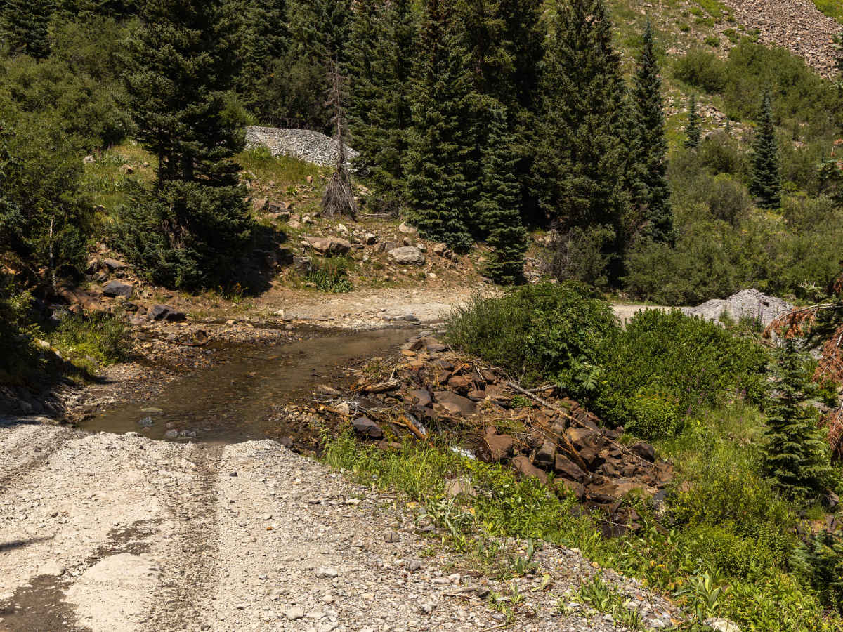
This is an unmaintained trail that has a flowing water crossing, steady uphill climbs with ruts, steep loose rocks, and narrow shelf road situations. There is no cell service along this route, so offline maps are recommended.
History
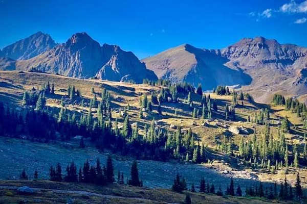
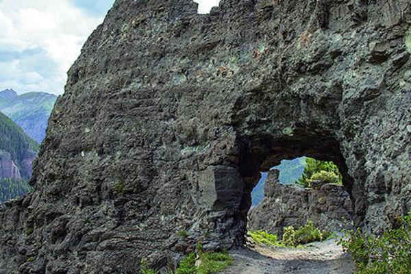
Governors Basin has its roots in the San Juan mining boom of the late 1800s, when miners carved this road into the mountainside in search of gold, silver, and other valuable ores. Today, remnants of that past can still be seen scattered across the basin in the form of old mine structures and tailings. The scenery is dramatic, with steep alpine walls enclosing lush meadows that come alive with wildflowers in the summer months. The basin’s remote character and expansive views of the San Juans make it a rewarding destination, despite the rough climb to get there.