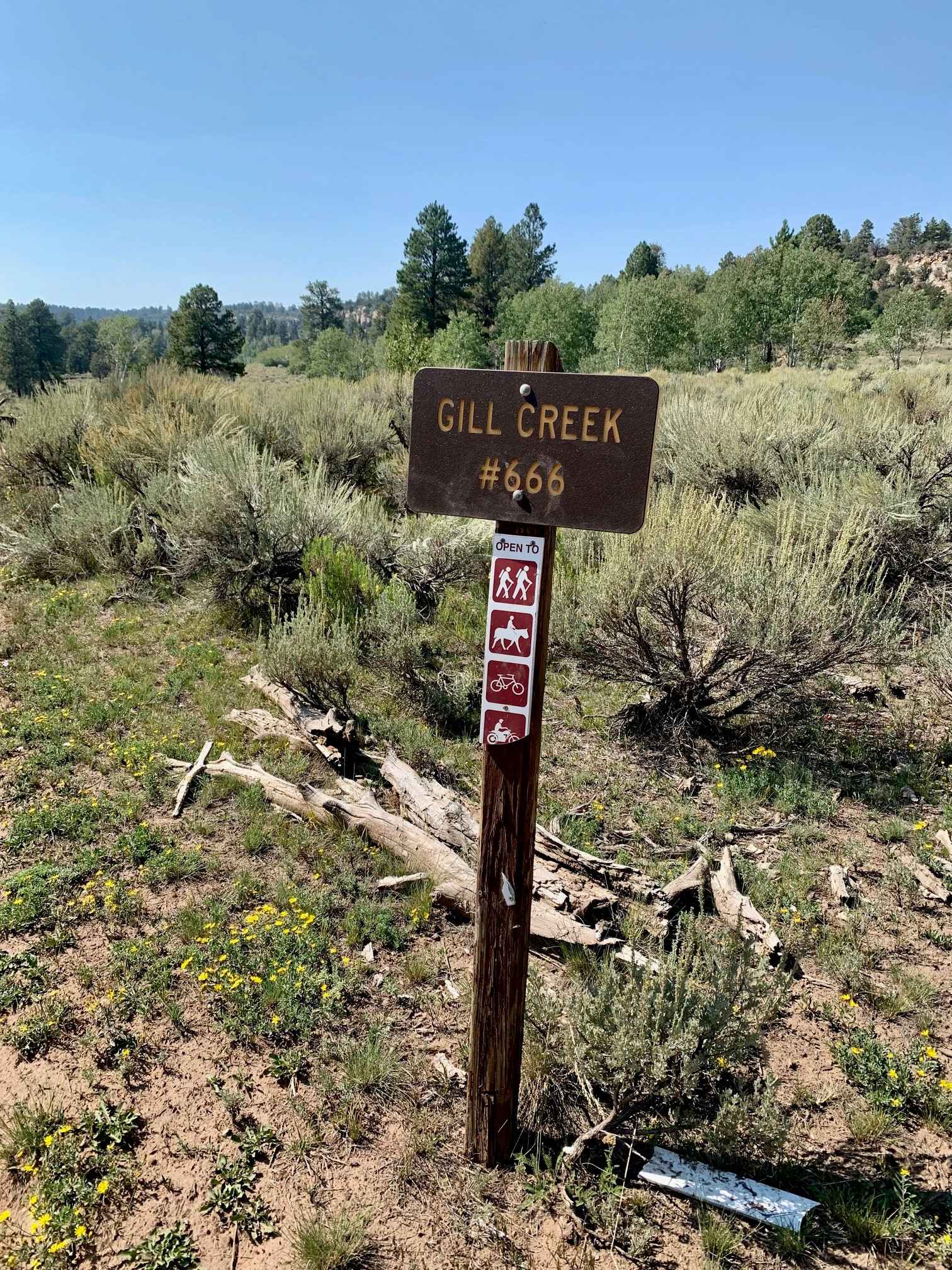
Gill Creek Loop 50"
Total Miles
14.3
Technical Rating
Best Time
Spring, Summer, Fall
Trail Type
50" Trail
Accessible By
Trail Overview
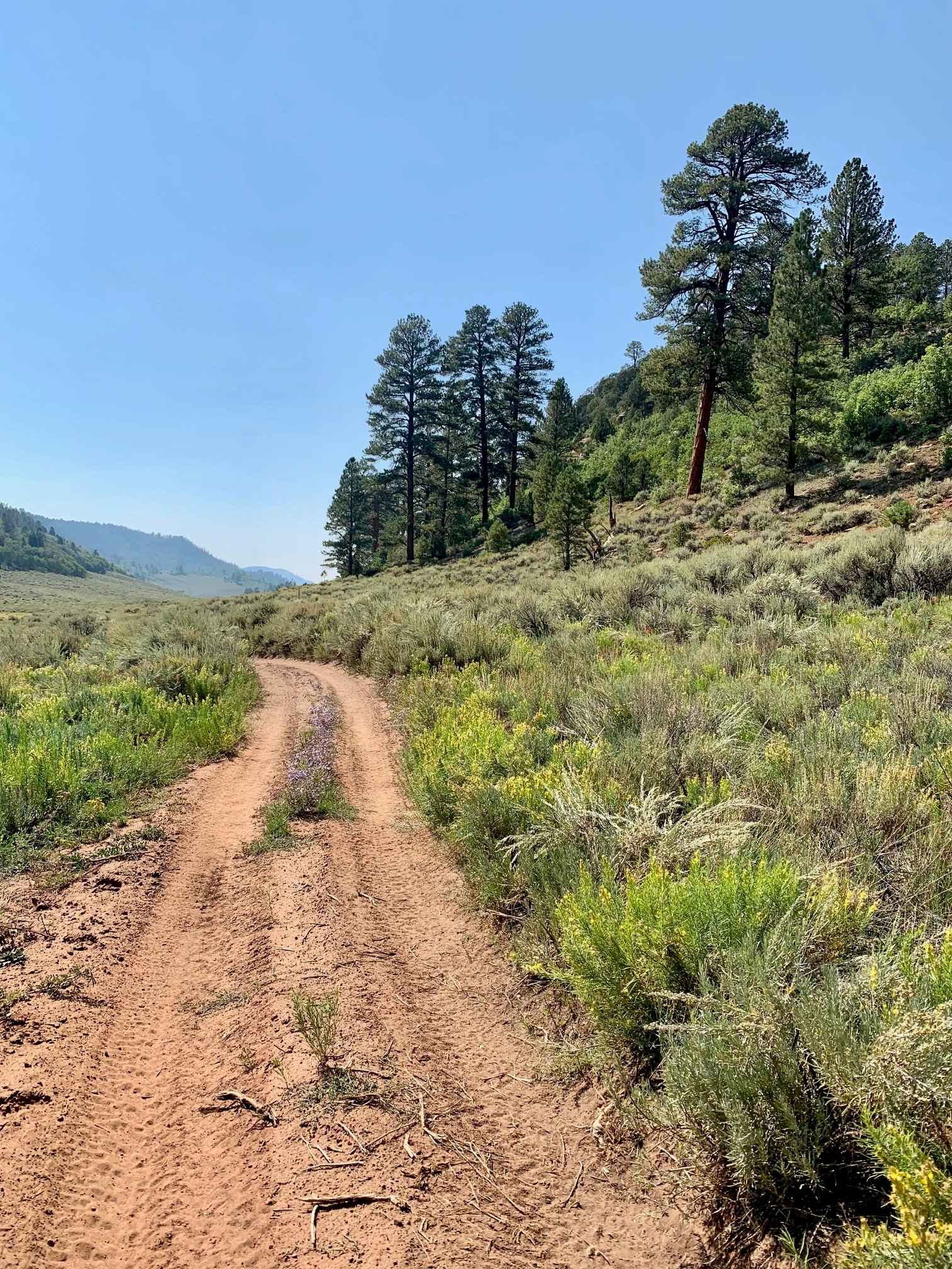
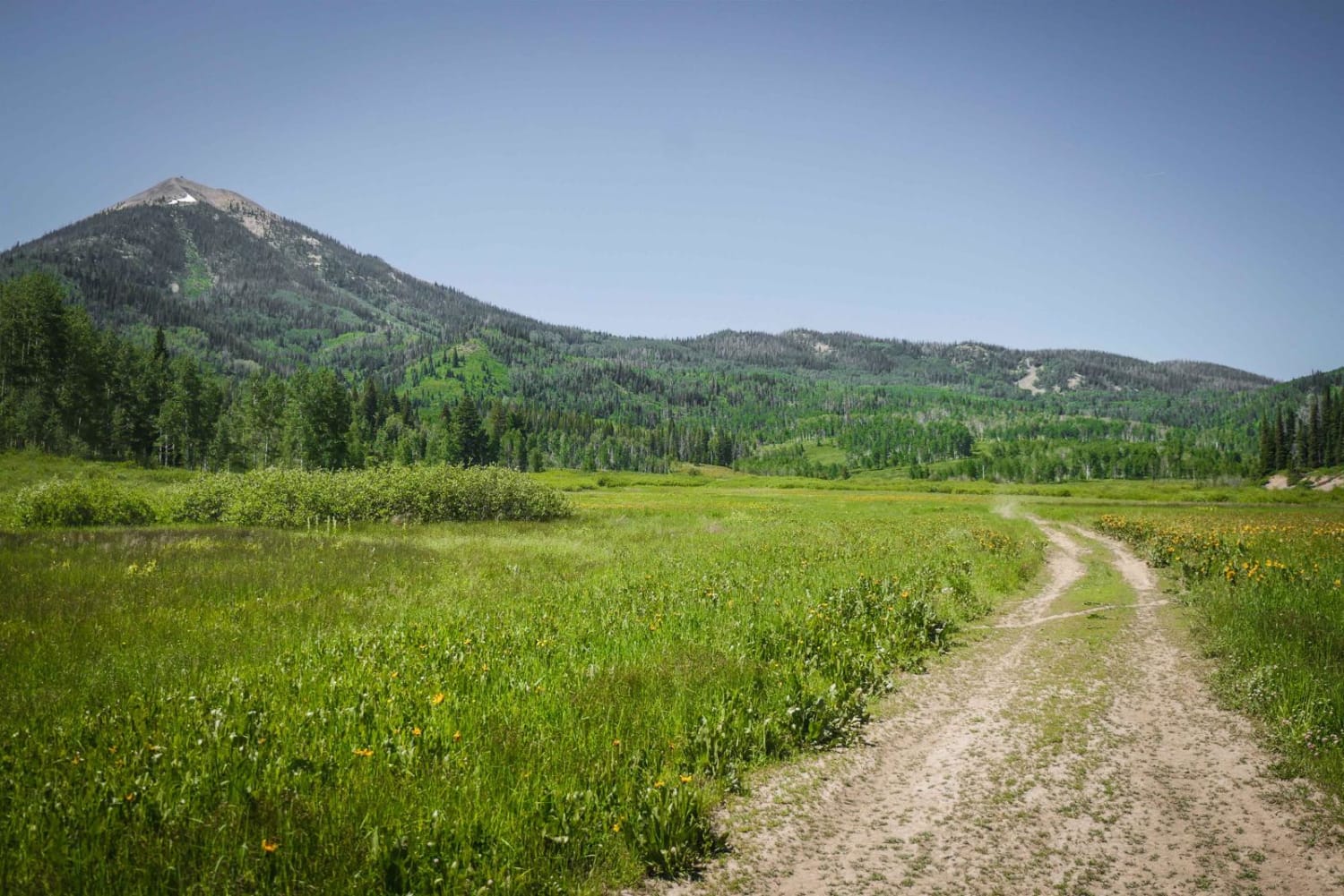
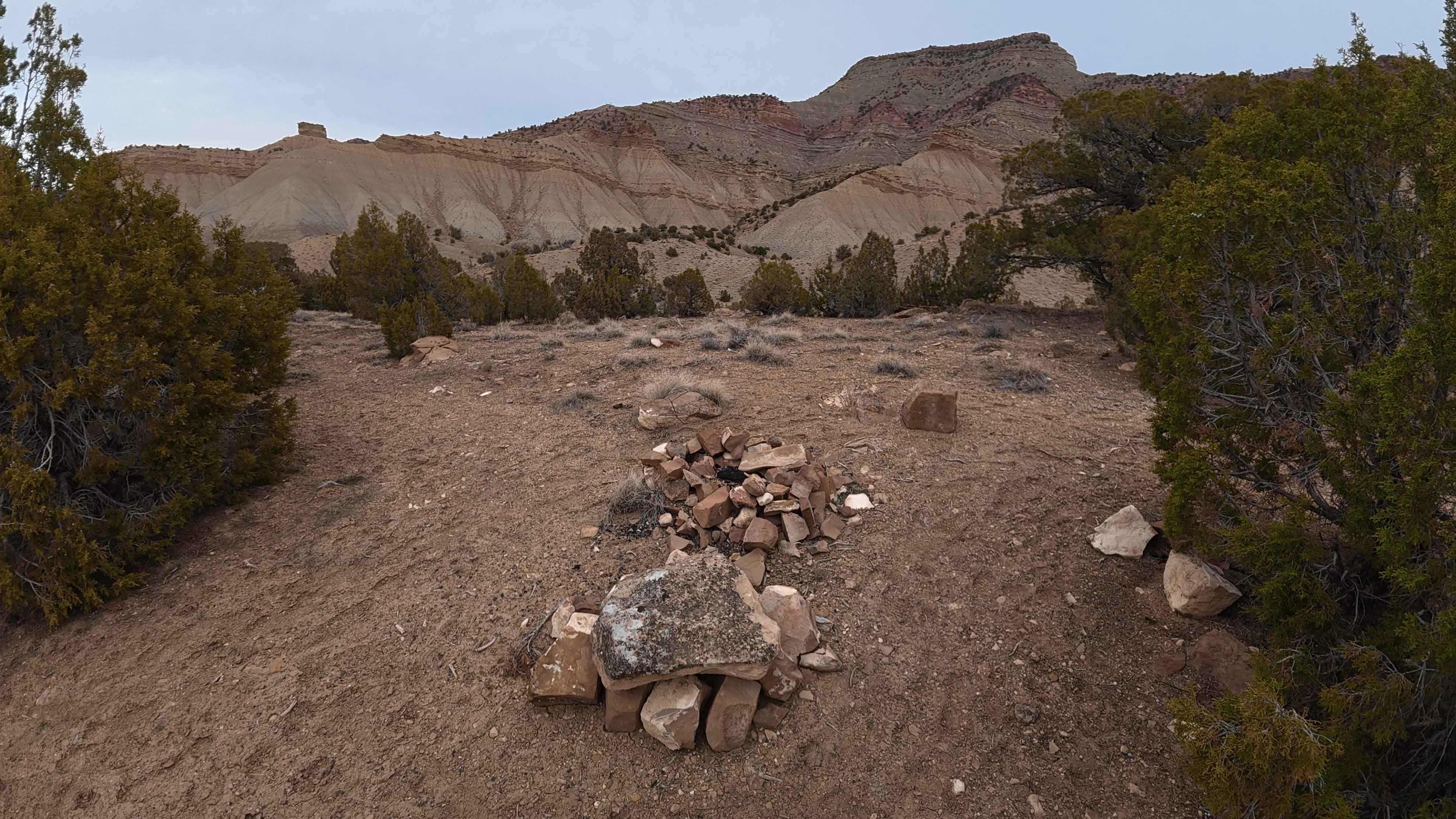
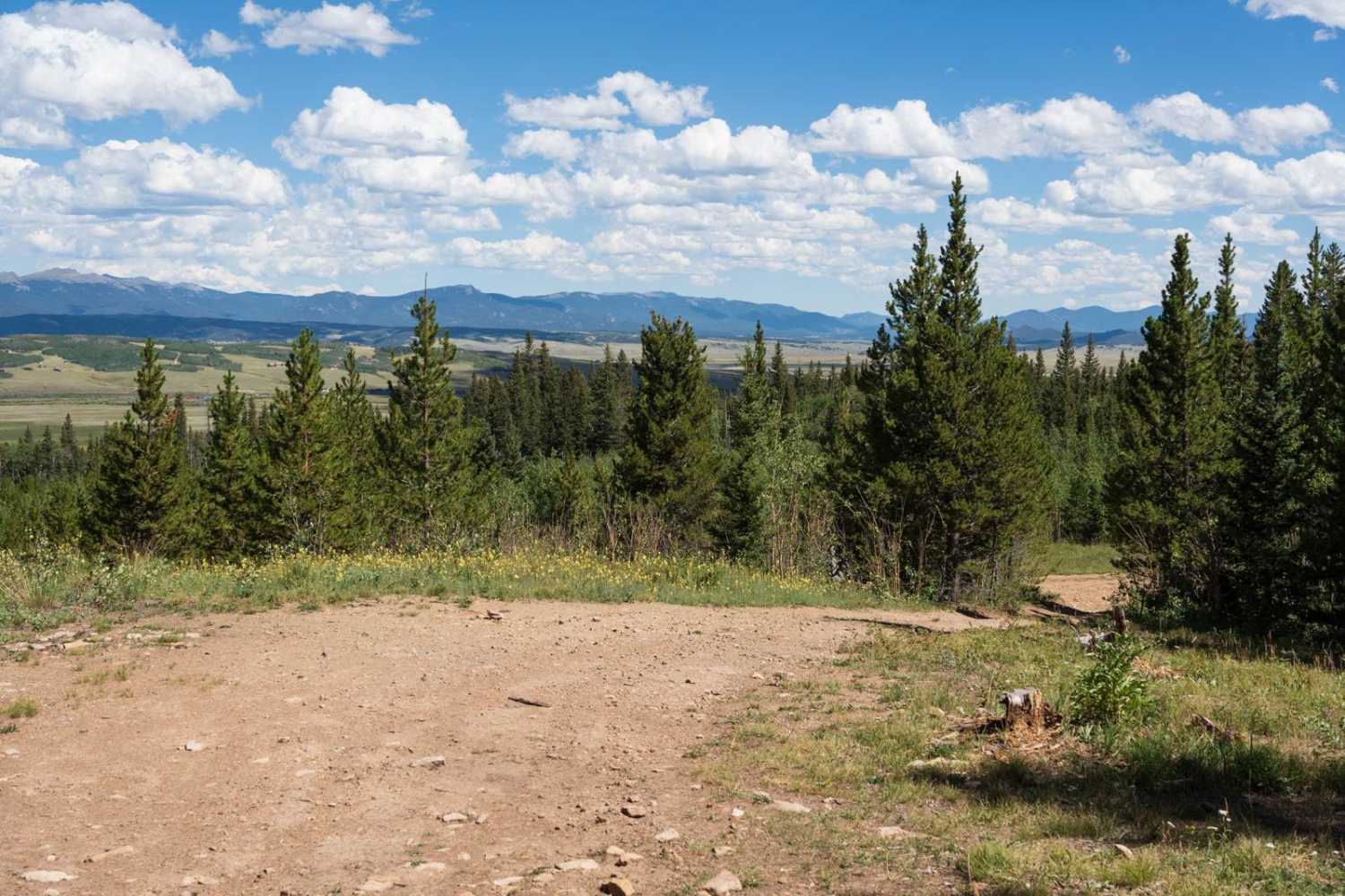
This fun trail on the Uncompaghre Plateau provides east access to a 50" track with some slick rock sections early in the loop. The trail has easy access with a fair amount of traffic so watch for others. If running the loop counter-clockwise you'll end up on a dirt road back to the start. The road highlights the beauty of the area, but can be done in any direction or has an out and back.Take Hungry Gulch #665 to Gill Creek #666 and then head back on TS road.
Photos of Gill Creek Loop 50"
Difficulty
There are a few sections at the begging with where slick rock is part of the trail. The trail is a 50" dirt track and dirt road back to the start.
Status Reports
Gill Creek Loop 50" can be accessed by the following ride types:
- ATV (50")
- Dirt Bike
Gill Creek Loop 50" Map
Popular Trails
Ellis Trail South

Limekiln Peak
The onX Offroad Difference
onX Offroad combines trail photos, descriptions, difficulty ratings, width restrictions, seasonality, and more in a user-friendly interface. Available on all devices, with offline access and full compatibility with CarPlay and Android Auto. Discover what you’re missing today!