Hackett Gulch
Total Miles
3.8
Technical Rating
Best Time
Spring, Summer, Fall
Trail Type
High-Clearance 4x4 Trail
Accessible By
Trail Overview
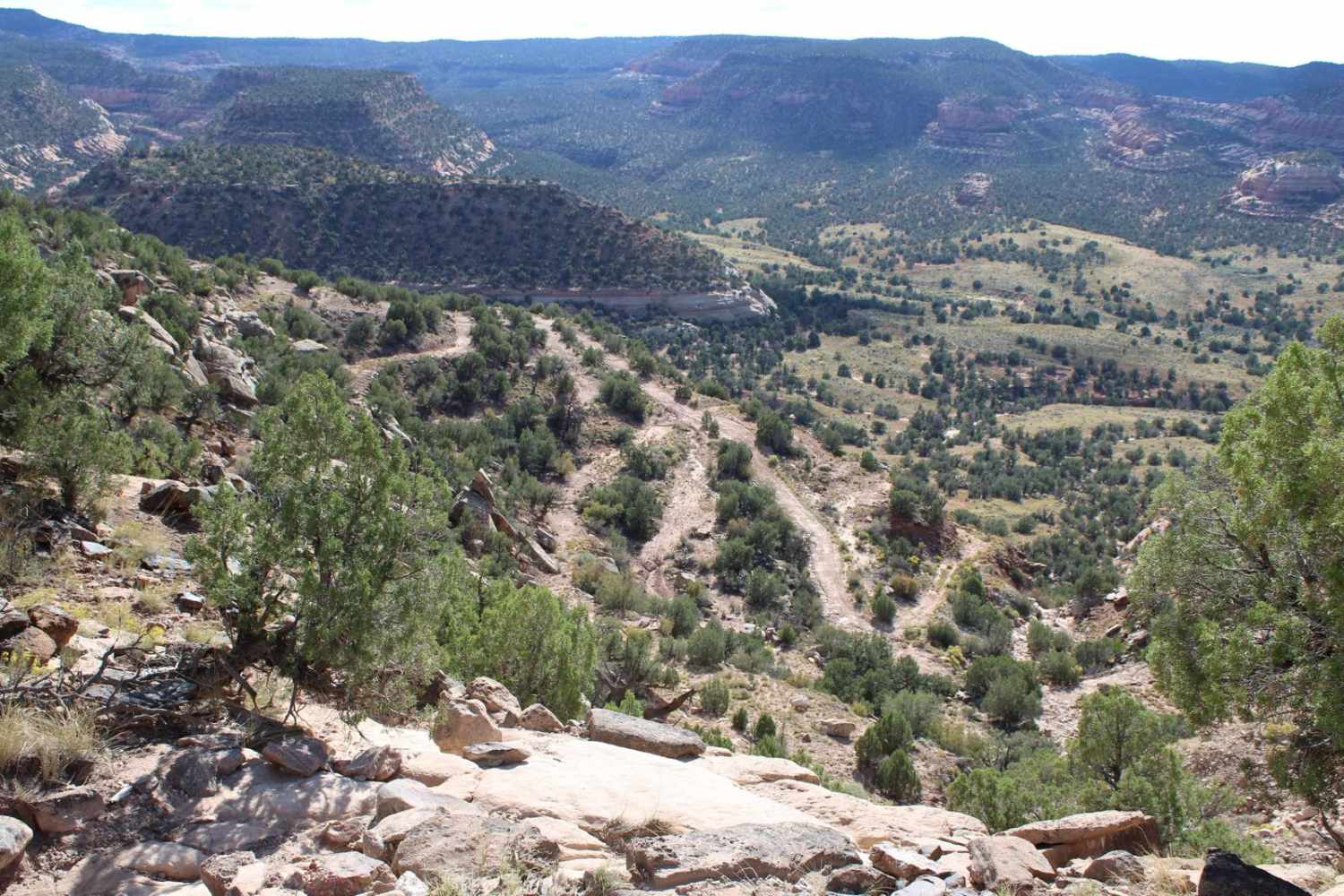
This is one of three trails known as the Gulches which are popular offroad trails in the area. Most of the trail is smooth gravel with varying dips, humps, and banks. It is closed at the county line to motorized vehicles but is roughly a half-mile walk to the South Platte River. There is an overlook stop along the trail that offers scenic views of the canyon below.
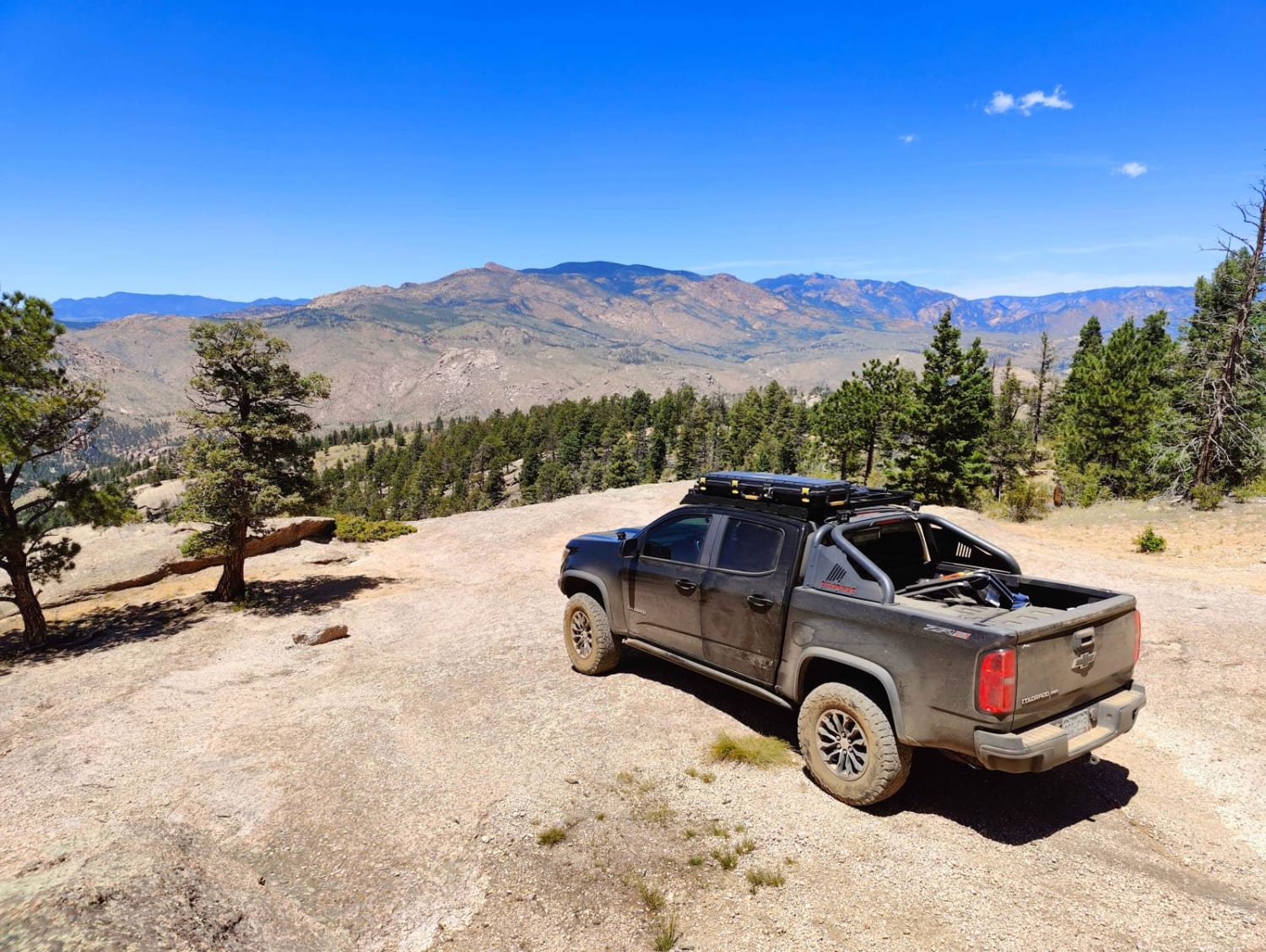
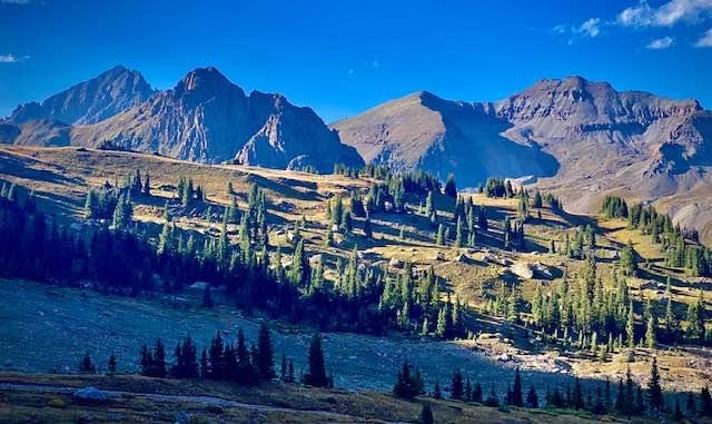
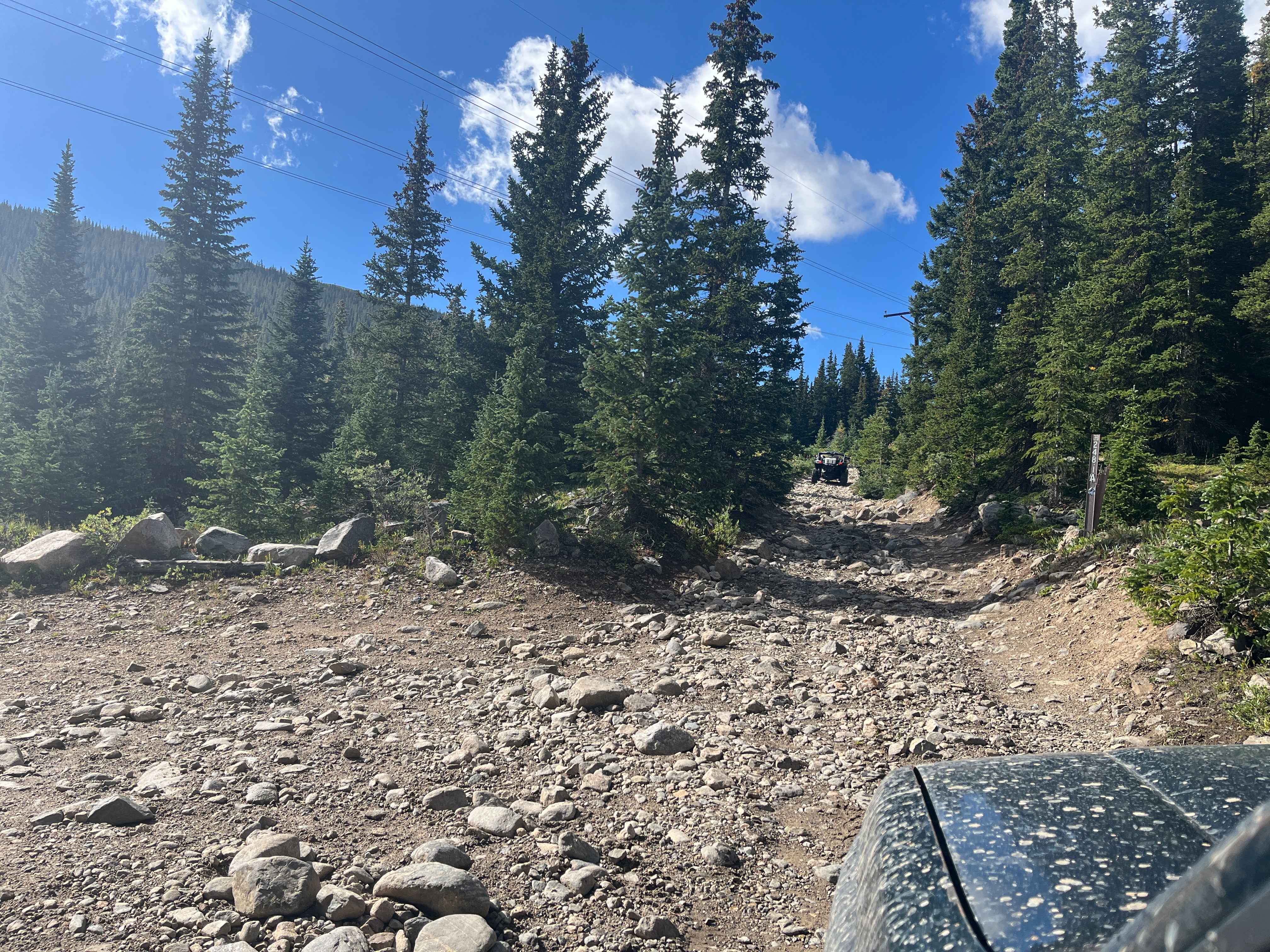
Photos of Hackett Gulch

Difficulty
The trail difficulty is due to one technical rock obstacle.
History
This trail used to be open to the south Platte river and loop to Longwater Gulch but has been closed by the National Forest Service at the Park county line.
Status Reports
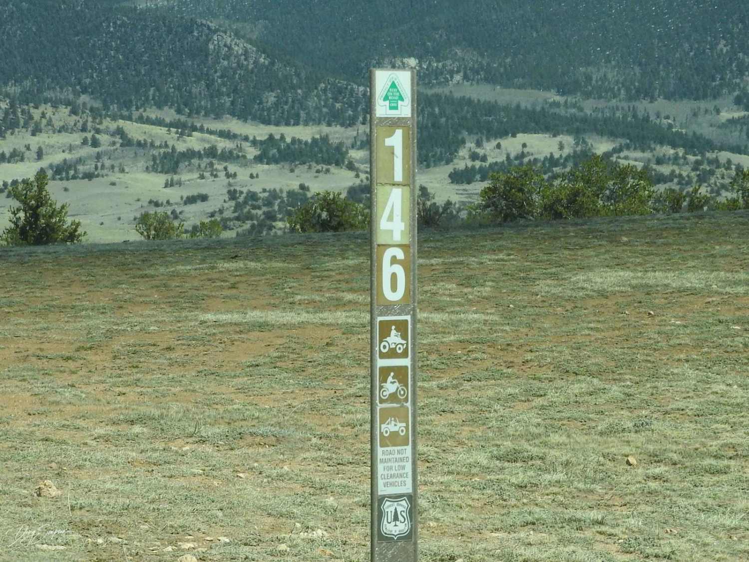
Hackett Gulch can be accessed by the following ride types:
- High-Clearance 4x4
- SxS (60")
- ATV (50")
- Dirt Bike
Hackett Gulch Map
Popular Trails
Long Park Mine Tour
Pains Ridge Road
Eagle Rock Road Forest Road 146
The onX Offroad Difference
onX Offroad combines trail photos, descriptions, difficulty ratings, width restrictions, seasonality, and more in a user-friendly interface. Available on all devices, with offline access and full compatibility with CarPlay and Android Auto. Discover what you’re missing today!