Gunsight Pass
Total Miles
9.0
Technical Rating
Best Time
Summer, Fall
Trail Type
High-Clearance 4x4 Trail
Accessible By
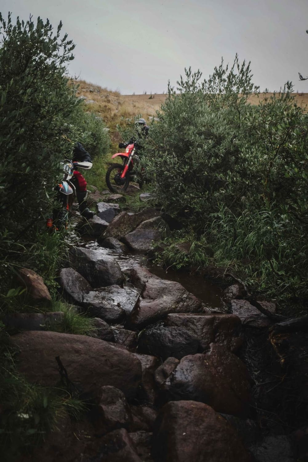
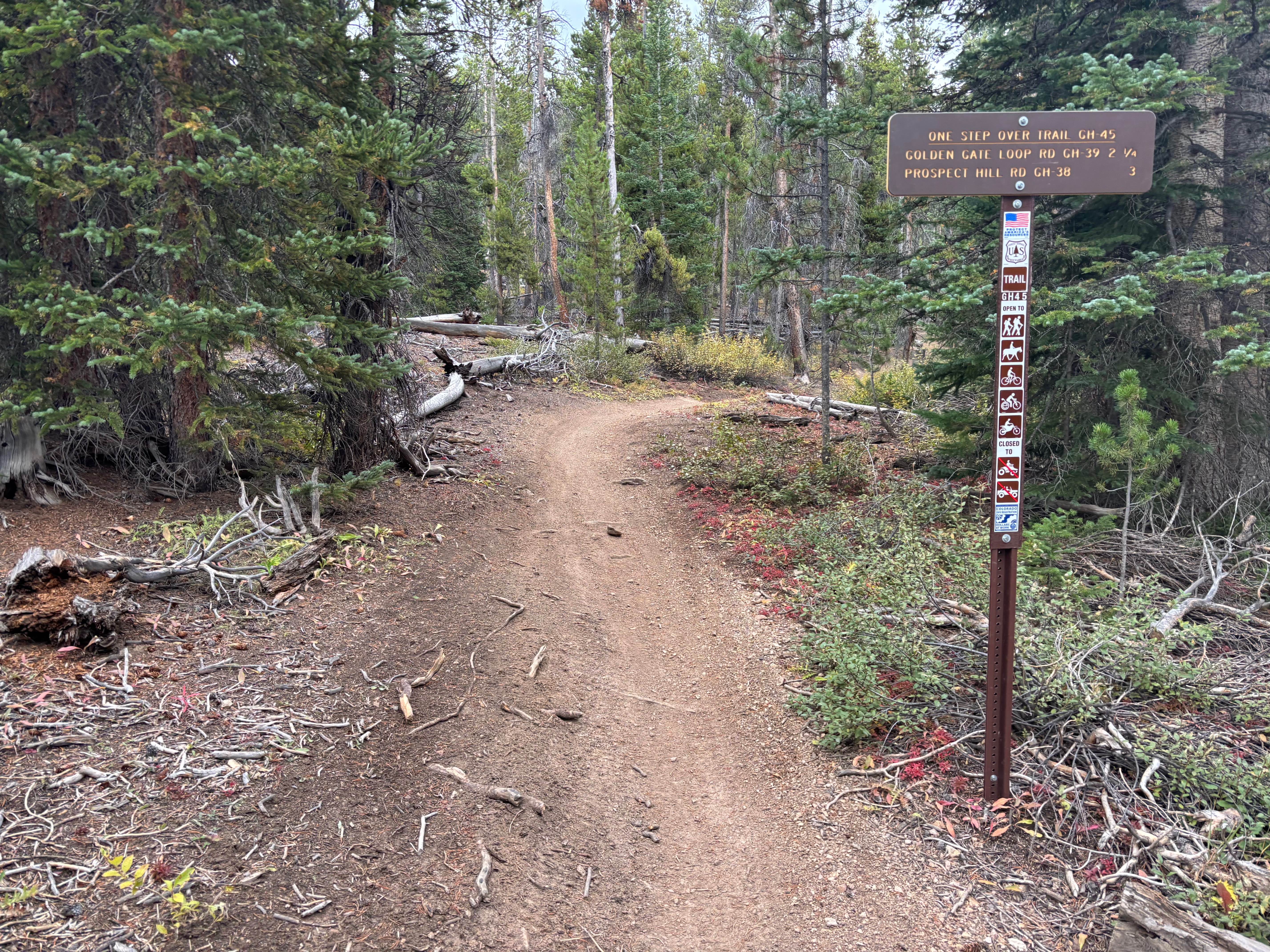
Trail Overview
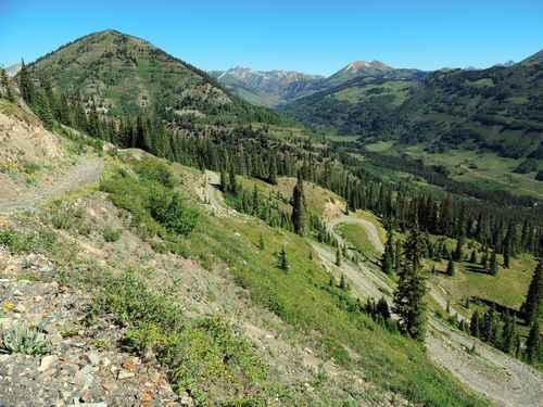
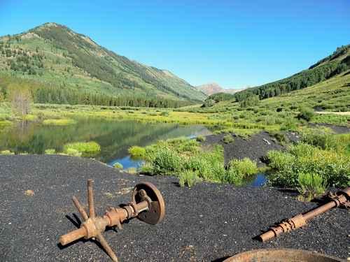
This is a great Jeep trail close to Crested Butte. The actual name of the trail is Gunsight Pass, but since access to the pass is no longer allowed I renamed it. The first thing you see after leaving Paradise Divide Road is piles of coal left behind from the Smith Hill Mine which operated from 1884 to 1929. The Crested Butte Land Trust and the Colorado Division of Reclamation Mining and Safety are working to revegetate and stabilize the site. As you reach the treeline you will climb an interesting set of switchbacks. Not at all difficult. When you come to the fork in the track, stay low and to the right. It will not be long before you view the Redwell Basin. Head back down by climbing up through the Daisy Mine. This alternate route is a bit narrower but no more difficult. There is one multi-point switchback in the mine area that makes Black Bear Pass switchbacks look easy. Very sharp, but there is enough room to make it. A spotter helps.
Photos of Gunsight Pass
Difficulty
Switchbacks and snow can create challenges but otherwise a scenic trail with some narrow sections
Status Reports
Gunsight Pass can be accessed by the following ride types:
- High-Clearance 4x4
- SxS (60")
- ATV (50")
- Dirt Bike
Gunsight Pass Map
Popular Trails
Farwell Mountain
Silver Mountain Trail
The onX Offroad Difference
onX Offroad combines trail photos, descriptions, difficulty ratings, width restrictions, seasonality, and more in a user-friendly interface. Available on all devices, with offline access and full compatibility with CarPlay and Android Auto. Discover what you’re missing today!