Hancock Gulch
Total Miles
1.6
Technical Rating
Best Time
Summer, Fall
Trail Type
High-Clearance 4x4 Trail
Accessible By
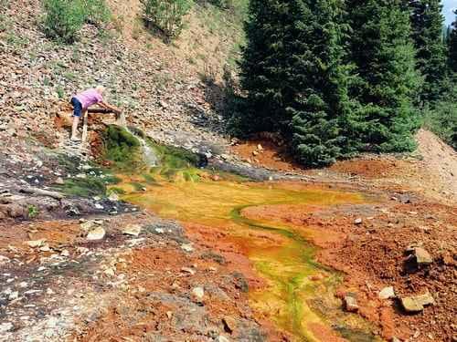
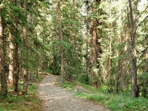
Trail Overview
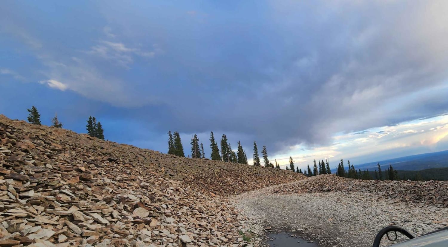
Hancock Gulch is the southernmost gulch and is the closest to Silverton. This is mostly a trail through the forest, but breaks out into the open at the end, offering good views of the alpine area above and of distant peaks. Most difficult of the four gulches, but still only rated 4. Turn around before you get to the very end of the track. The track ends at a locked gate with very little room to turn. Drive back down the hill on Hancock Gulch and head for Porcupine Gulch.
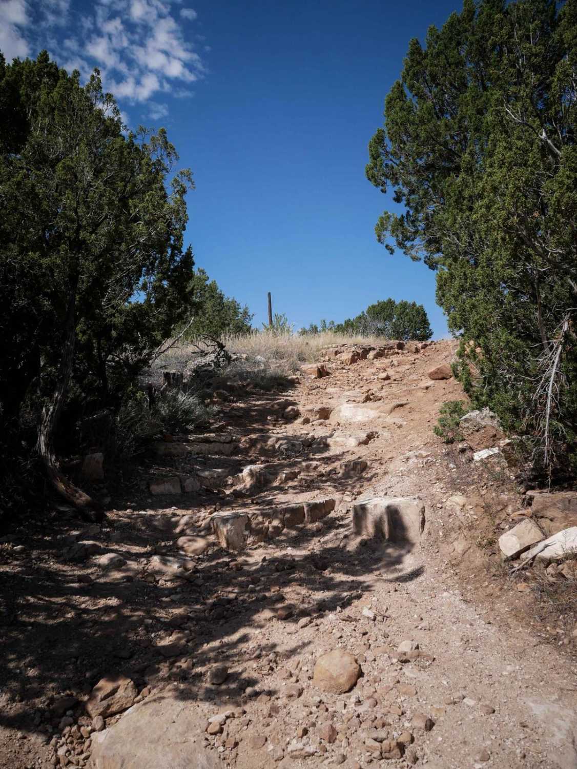
Photos of Hancock Gulch
Difficulty
Uneven, rutted dirt trail with loose rocks, sand, erosion, and washes. Potential water crossings up to a foot deep, mud holes, and obstacles up to 18", including ledges and short, steep grades. Roads are typically one vehicle wide with places to pass.
Status Reports
Hancock Gulch can be accessed by the following ride types:
- High-Clearance 4x4
- SxS (60")
- ATV (50")
- Dirt Bike
Hancock Gulch Map
Popular Trails
The onX Offroad Difference
onX Offroad combines trail photos, descriptions, difficulty ratings, width restrictions, seasonality, and more in a user-friendly interface. Available on all devices, with offline access and full compatibility with CarPlay and Android Auto. Discover what you’re missing today!