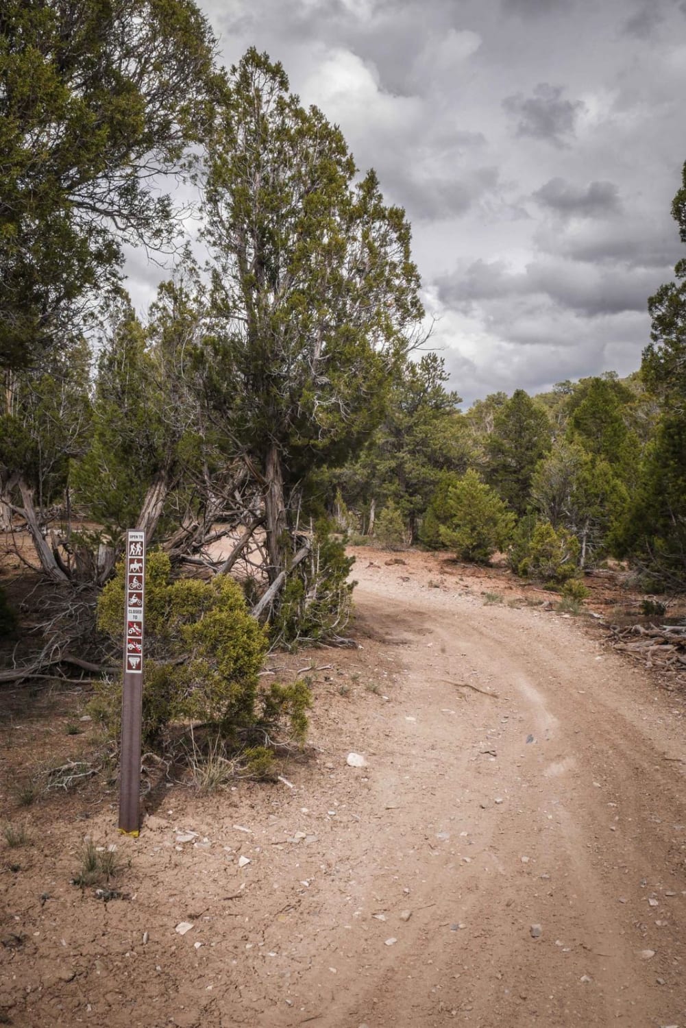
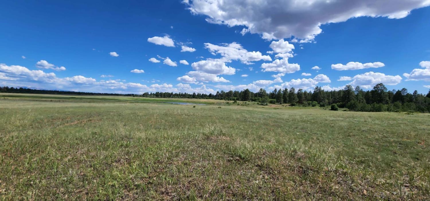
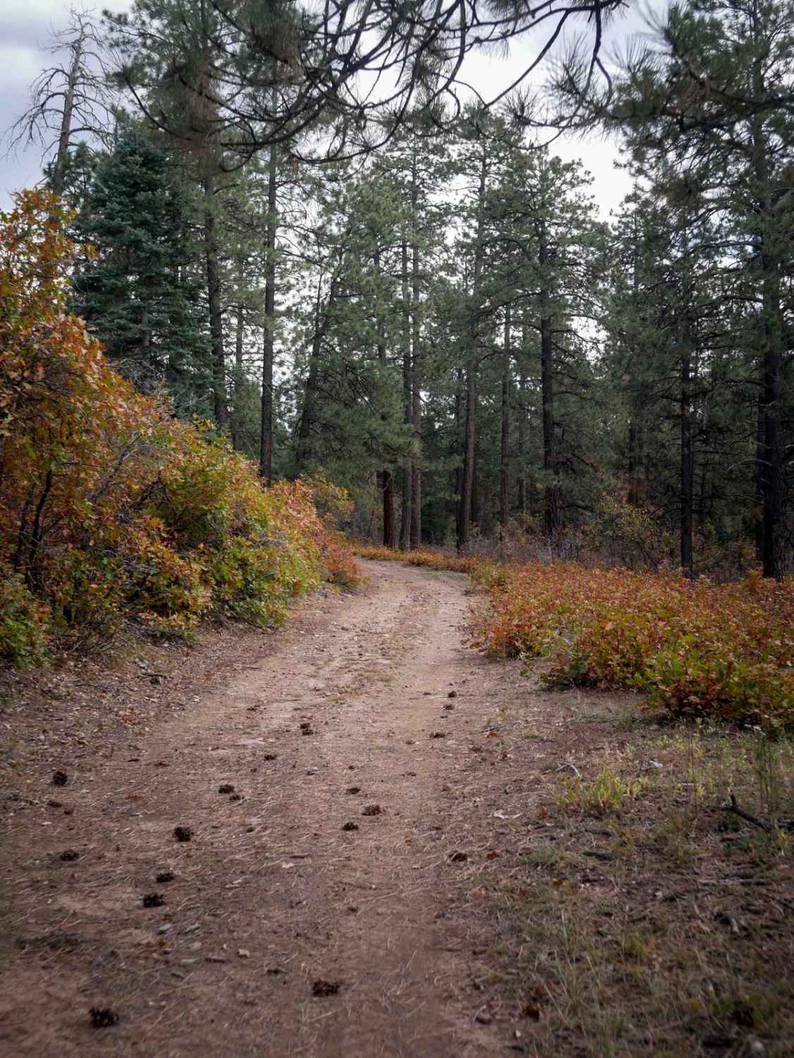
Off-Road Trails in Colorado
Discover off-road trails in Colorado
Learn more about Farwell Mountain 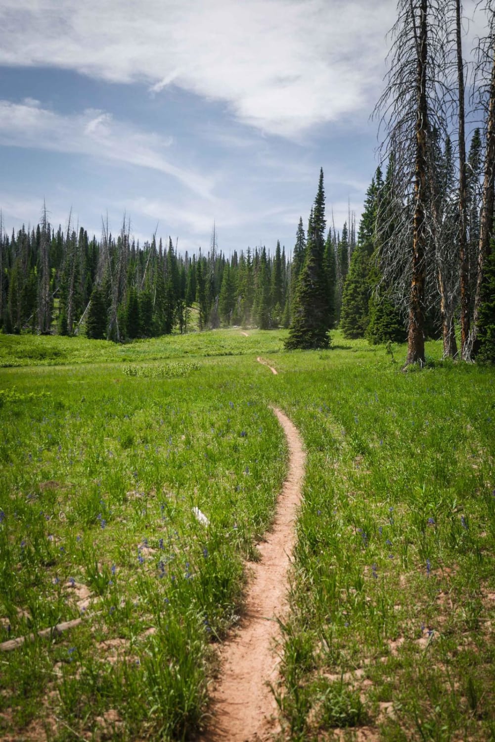
Farwell Mountain
Total Miles
1.6
Tech Rating
Easy
Best Time
Summer, Fall
Learn more about Farwell Mountain ATV Trail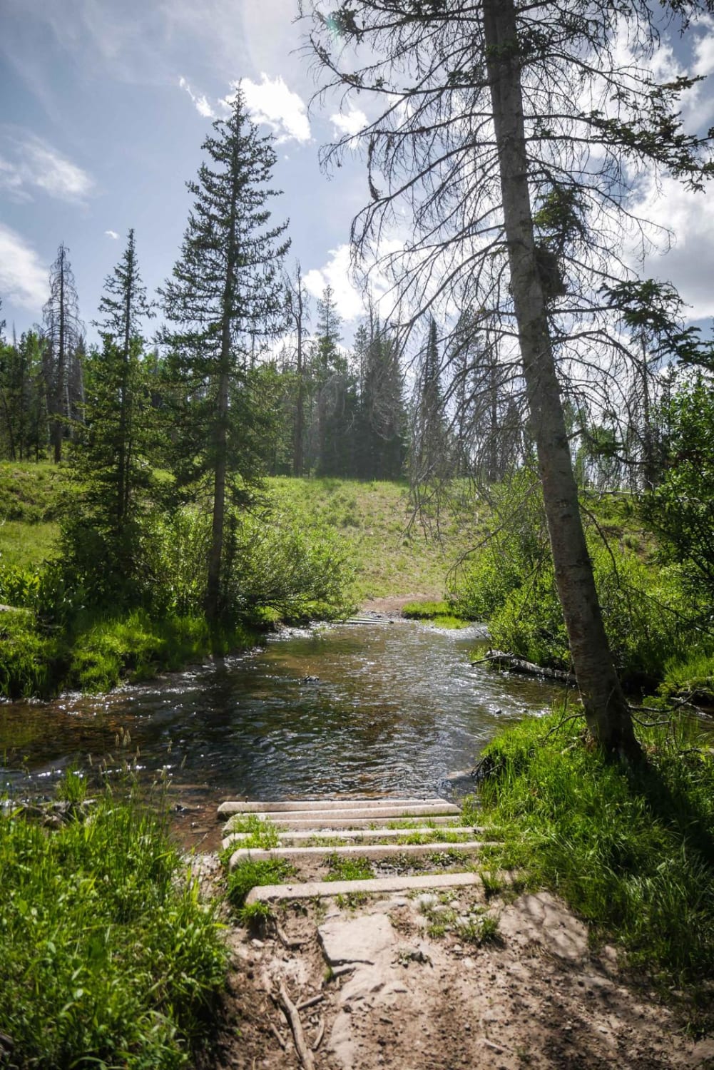
Farwell Mountain ATV Trail
Total Miles
2.9
Tech Rating
Easy
Best Time
Summer, Fall
Learn more about Farwell Mountain via Lost Dog
Farwell Mountain via Lost Dog
Total Miles
21.9
Tech Rating
Difficult
Best Time
Summer, Fall
Learn more about Fata Morgana 
Fata Morgana
Total Miles
1.9
Tech Rating
Easy
Best Time
Spring, Summer, Fall
Learn more about Fawn Gulch E-Fr Rd 666E
Fawn Gulch E-Fr Rd 666E
Total Miles
1.2
Tech Rating
Easy
Best Time
Spring, Summer, Fall
Learn more about Fawn Gulch F-Fr Rd 666F
Fawn Gulch F-Fr Rd 666F
Total Miles
1.4
Tech Rating
Easy
Best Time
Spring, Summer, Fall
Learn more about Fawn Gulch-Fr Rd 666
Fawn Gulch-Fr Rd 666
Total Miles
3.5
Tech Rating
Easy
Best Time
Spring, Summer, Fall

Learn more about Fern 2- Rampart Range
Fern 2- Rampart Range
Total Miles
2.1
Tech Rating
Easy
Best Time
Spring, Summer, Fall
Learn more about Fern 3- Rampart Range
Fern 3- Rampart Range
Total Miles
3.2
Tech Rating
Moderate
Best Time
Spring, Summer, Fall
Learn more about Fern Creek Road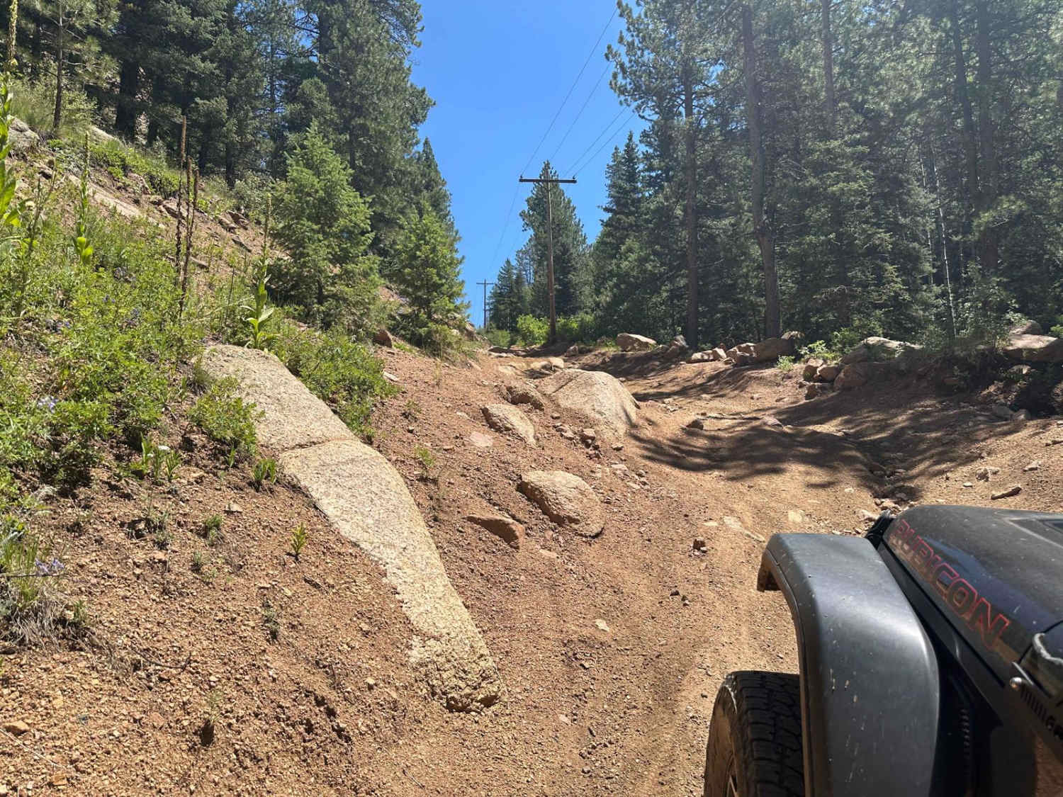
Fern Creek Road
Total Miles
3.9
Tech Rating
Moderate
Best Time
Spring, Summer, Fall
Learn more about Figure 9 Road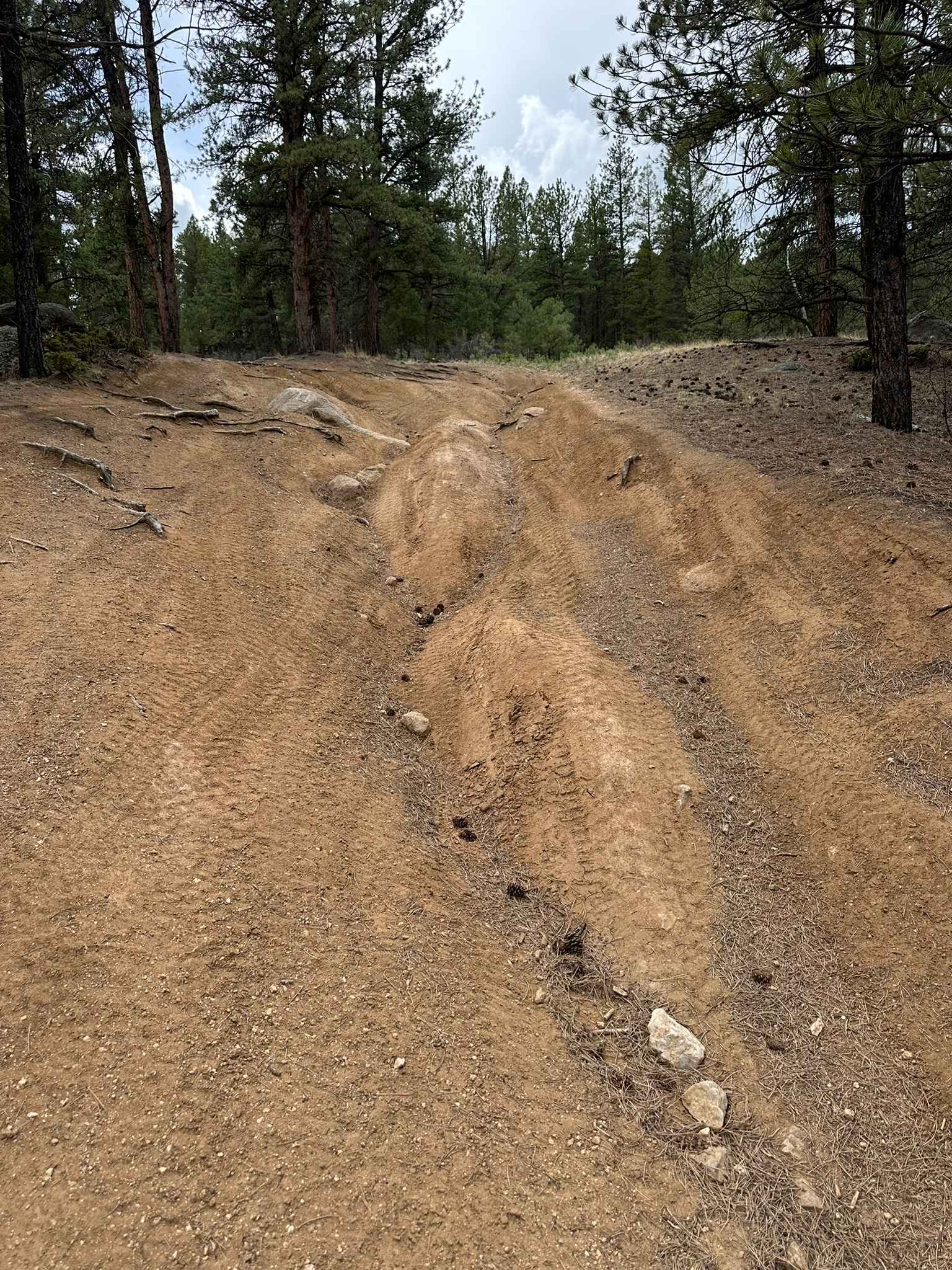
Figure 9 Road
Total Miles
1.3
Tech Rating
Easy
Best Time
Spring, Summer, Fall


Learn more about First Notch Connect 
First Notch Connect
Total Miles
1.1
Tech Rating
Easy
Best Time
Summer, Fall
Learn more about Fish Creek Approach
Fish Creek Approach
Total Miles
15.2
Tech Rating
Easy
Best Time
Spring, Summer, Fall
ATV trails in Colorado

Learn more about 16 Road, Coal Gulch
16 Road, Coal Gulch
Total Miles
14.1
Tech Rating
Easy
Best Time
Spring, Fall


UTV/side-by-side trails in Colorado
Learn more about 16 Road, Coal Gulch
16 Road, Coal Gulch
Total Miles
14.1
Tech Rating
Easy
Best Time
Spring, Fall

The onX Offroad Difference
onX Offroad combines trail photos, descriptions, difficulty ratings, width restrictions, seasonality, and more in a user-friendly interface. Available on all devices, with offline access and full compatibility with CarPlay and Android Auto. Discover what you’re missing today!