Fata Morgana
Total Miles
1.9
Technical Rating
Best Time
Spring, Summer, Fall
Trail Type
Single Track
Accessible By
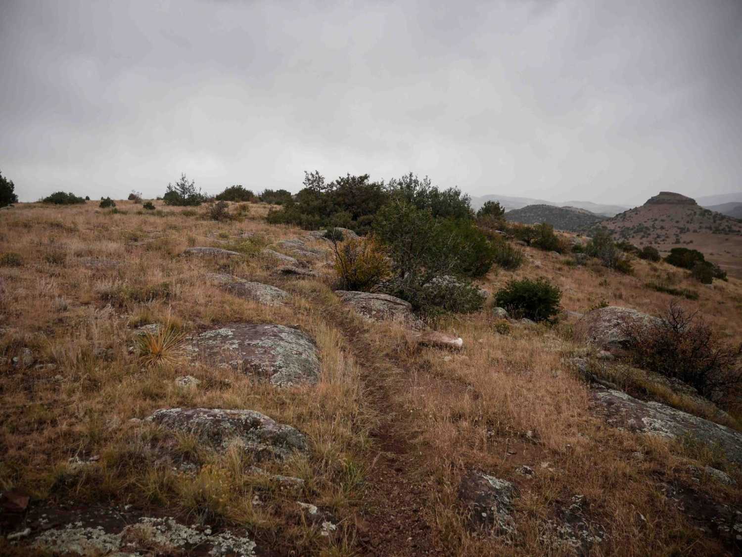
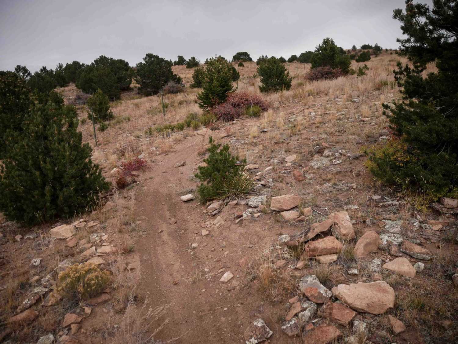
Trail Overview
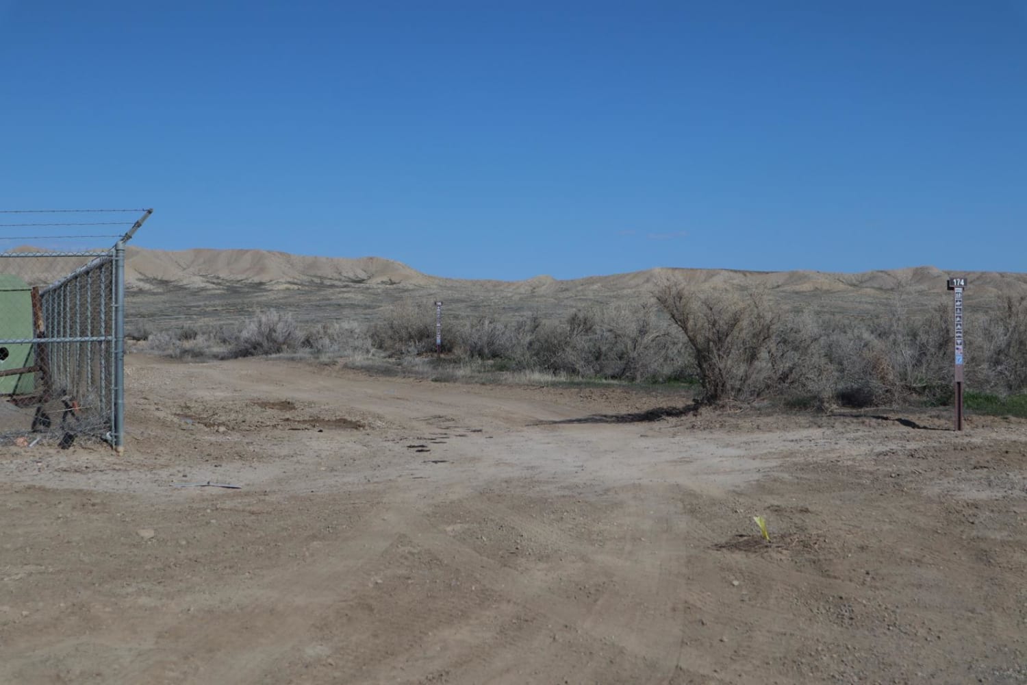
From the north end, Fata Morgana starts as a narrow single track over the rolling hills, with small dips into ravines and gradual curves up the mesas. The trail has a bit of infrequent embedded rock surfaces on the top of the mesa, but it's all easy to ride over. It gradually climbs up a couple hundred feet elevation on its way south until it ends at a dirt road. Most of the trail is very fast and flowy through the barren terrain.
Photos of Fata Morgana
Difficulty
Most of the trail is fast and flowy and very easy, but it does have sudden dips and a few more rocks.
Status Reports
Fata Morgana can be accessed by the following ride types:
- Dirt Bike
Fata Morgana Map
Popular Trails

BLM Route 174
The onX Offroad Difference
onX Offroad combines trail photos, descriptions, difficulty ratings, width restrictions, seasonality, and more in a user-friendly interface. Available on all devices, with offline access and full compatibility with CarPlay and Android Auto. Discover what you’re missing today!