Off-Road Trails in Colorado
Discover off-road trails in Colorado
Learn more about Lime Creek Road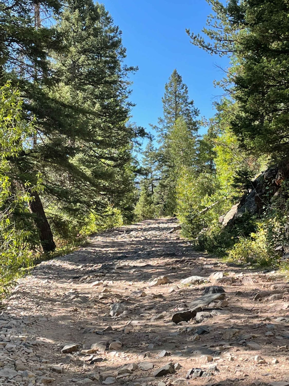
Lime Creek Road
Total Miles
11.1
Tech Rating
Easy
Best Time
Spring, Summer, Fall
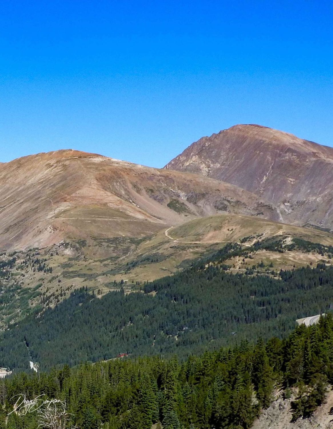
Learn more about Limekiln Peak 
Limekiln Peak
Total Miles
2.8
Tech Rating
Easy
Best Time
Spring, Summer, Fall
Learn more about Lincoln Creek Road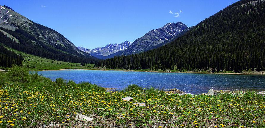
Lincoln Creek Road
Total Miles
11.5
Tech Rating
Moderate
Best Time
Summer, Fall
Learn more about Lininger Cutoff (FS 811B) 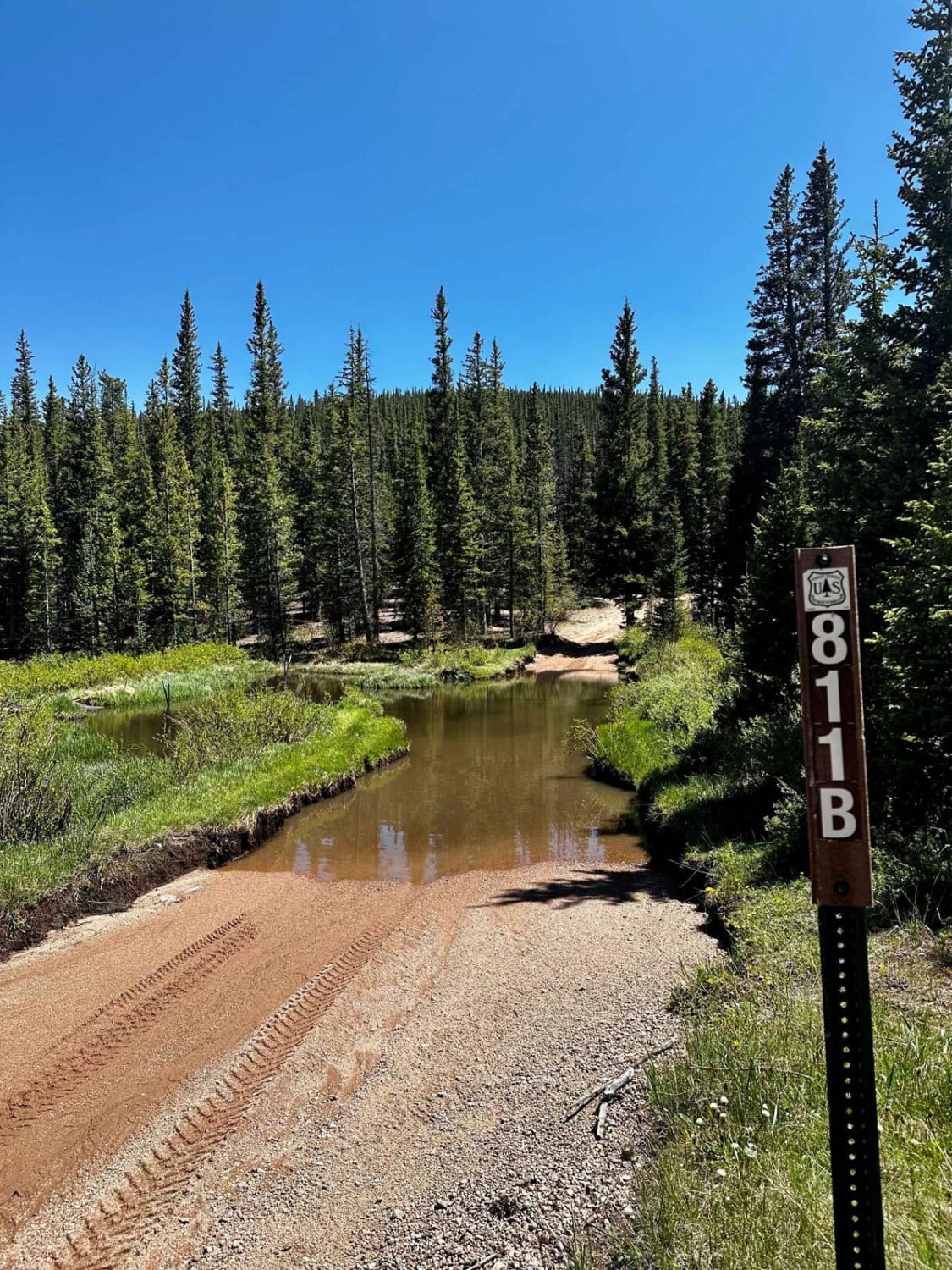
Lininger Cutoff (FS 811B)
Total Miles
1.3
Tech Rating
Moderate
Best Time
Spring, Summer, Fall
Learn more about Lininger Ditch (FS 811A) 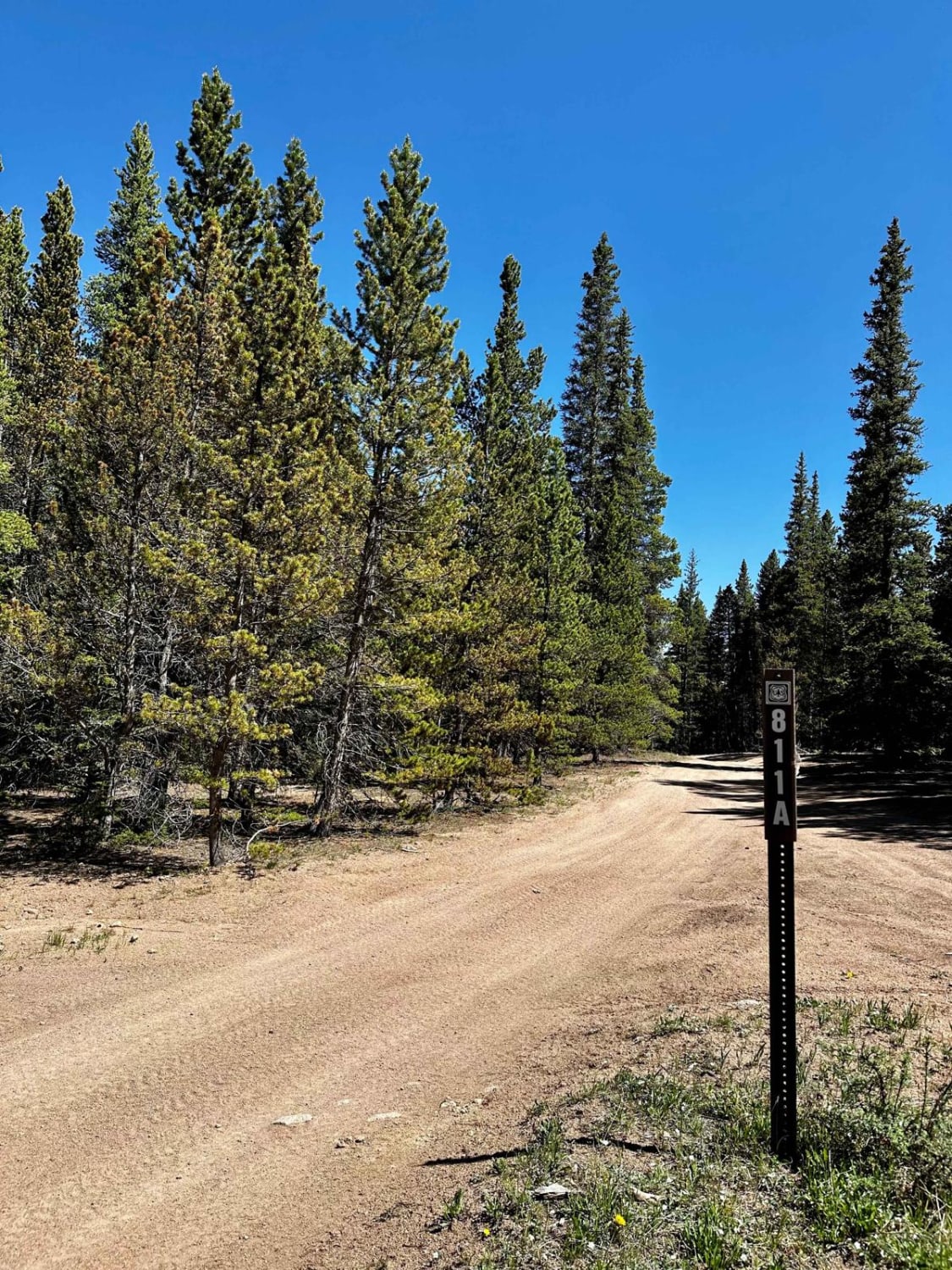
Lininger Ditch (FS 811A)
Total Miles
0.9
Tech Rating
Easy
Best Time
Spring, Summer, Fall
Learn more about Little Annie Road (CR 15G)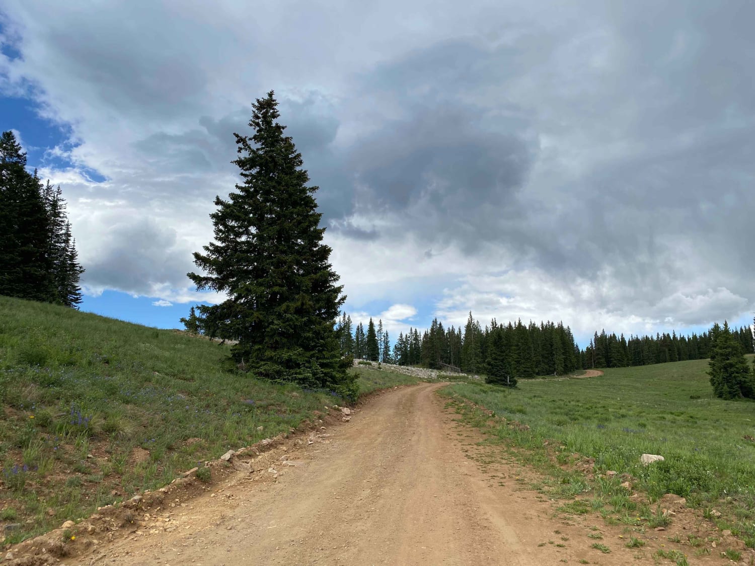
Little Annie Road (CR 15G)
Total Miles
5.7
Tech Rating
Easy
Best Time
Summer, Fall
Learn more about Little Bear Creek Road - FS 151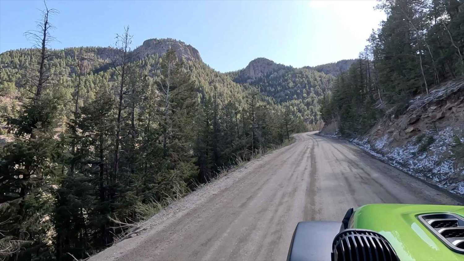
Little Bear Creek Road - FS 151
Total Miles
6.2
Tech Rating
Easy
Best Time
Summer, Fall
Learn more about Little China Wall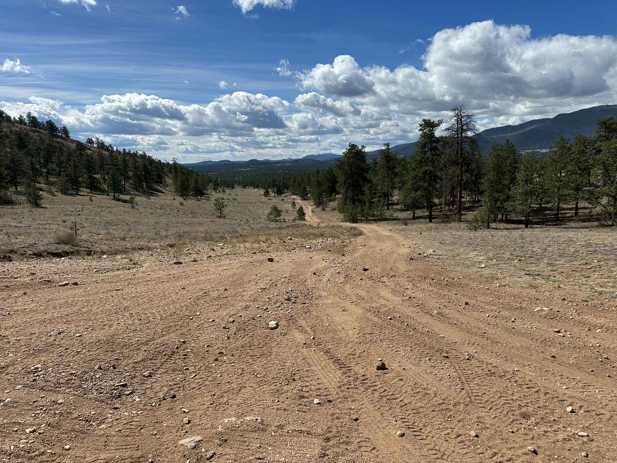
Little China Wall
Total Miles
1.1
Tech Rating
Easy
Best Time
Spring, Summer, Fall
Learn more about Little Cimarron Creek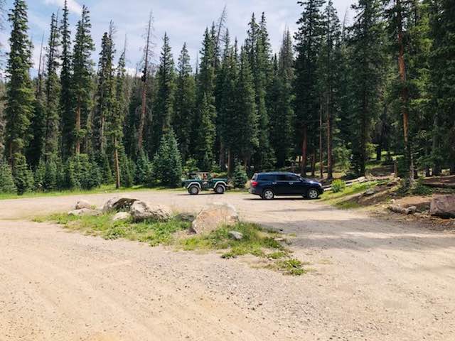
Little Cimarron Creek
Total Miles
12.2
Tech Rating
Easy
Best Time
Spring, Summer, Fall
Learn more about Little Cottonwood Cr.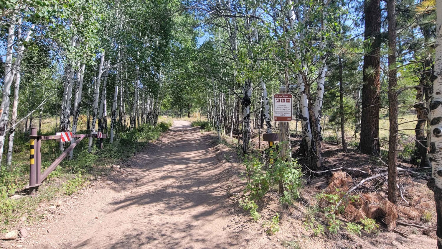
Little Cottonwood Cr.
Total Miles
3.9
Tech Rating
Moderate
Best Time
Summer, Fall
Learn more about Little Cottonwood Cr.
Little Cottonwood Cr.
Total Miles
3.9
Tech Rating
Moderate
Best Time
Summer, Fall
Learn more about Little Dolores Canyon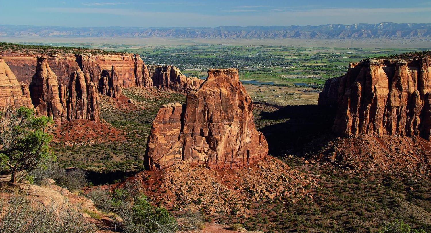
Little Dolores Canyon
Total Miles
12.9
Tech Rating
Easy
Best Time
Spring, Fall
Learn more about Little Fourmile Road - FS 373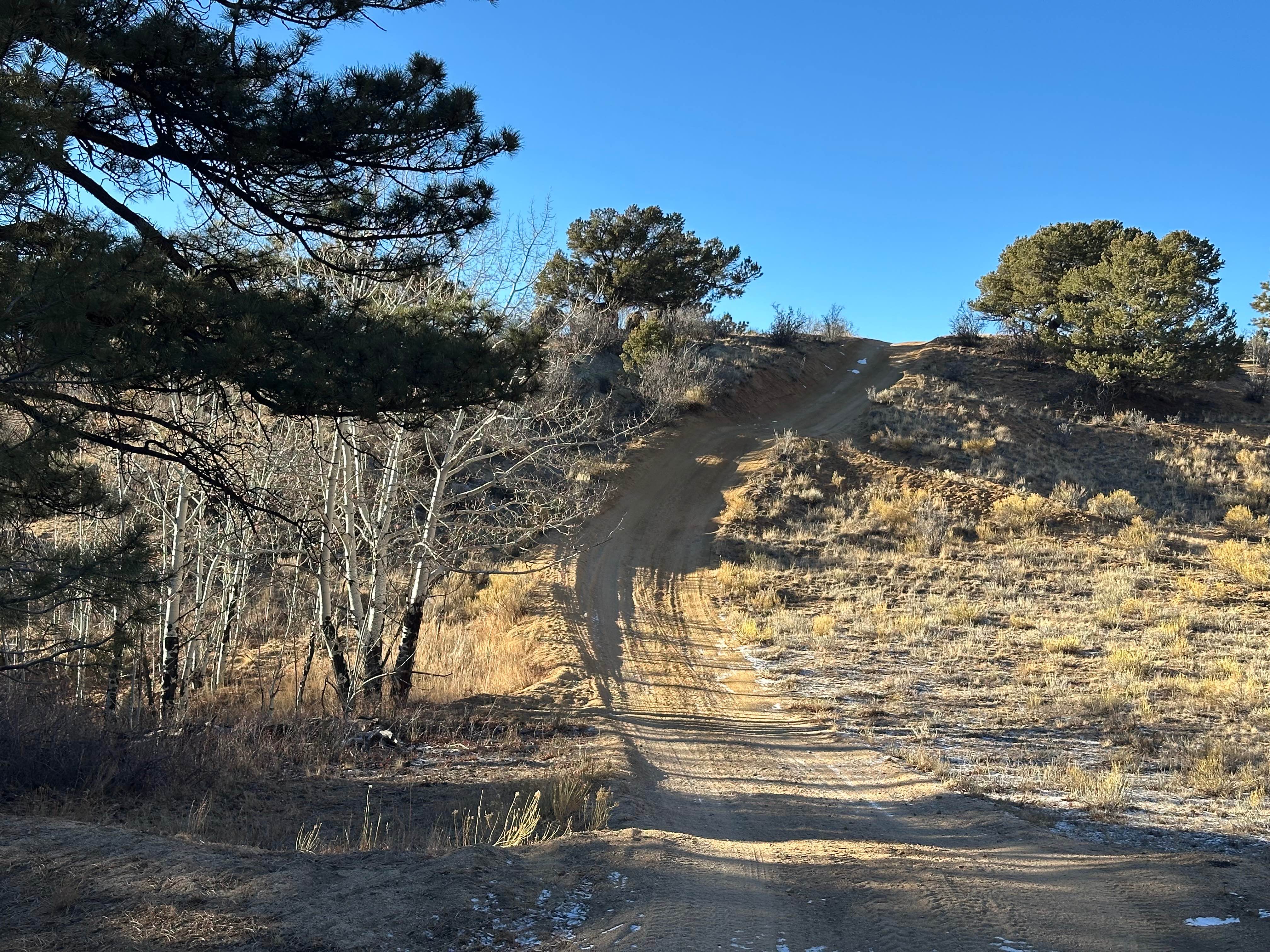
Little Fourmile Road - FS 373
Total Miles
4.3
Tech Rating
Easy
Best Time
Spring, Summer, Fall
Learn more about Little Gravel Mountain
Little Gravel Mountain
Total Miles
5.5
Tech Rating
Moderate
Best Time
Summer, Fall
Learn more about Little Red Trail
Little Red Trail
Total Miles
1.4
Tech Rating
Moderate
Best Time
Summer, Fall
Learn more about Little Wolford Mountain 
Little Wolford Mountain
Total Miles
1.1
Tech Rating
Moderate
Best Time
Spring, Summer, Fall
Learn more about Loma de San Jose
Loma de San Jose
Total Miles
2.1
Tech Rating
Easy
Best Time
Summer, Fall, Spring
Learn more about Lone Pine Trail
Lone Pine Trail
Total Miles
4.9
Tech Rating
Moderate
Best Time
Summer, Fall
ATV trails in Colorado

Learn more about 16 Road, Coal Gulch
16 Road, Coal Gulch
Total Miles
14.1
Tech Rating
Easy
Best Time
Spring, Fall


UTV/side-by-side trails in Colorado
Learn more about 16 Road, Coal Gulch
16 Road, Coal Gulch
Total Miles
14.1
Tech Rating
Easy
Best Time
Spring, Fall

The onX Offroad Difference
onX Offroad combines trail photos, descriptions, difficulty ratings, width restrictions, seasonality, and more in a user-friendly interface. Available on all devices, with offline access and full compatibility with CarPlay and Android Auto. Discover what you’re missing today!