Manzanares
Total Miles
8.4
Technical Rating
Best Time
Summer, Fall
Trail Type
50" Trail
Accessible By
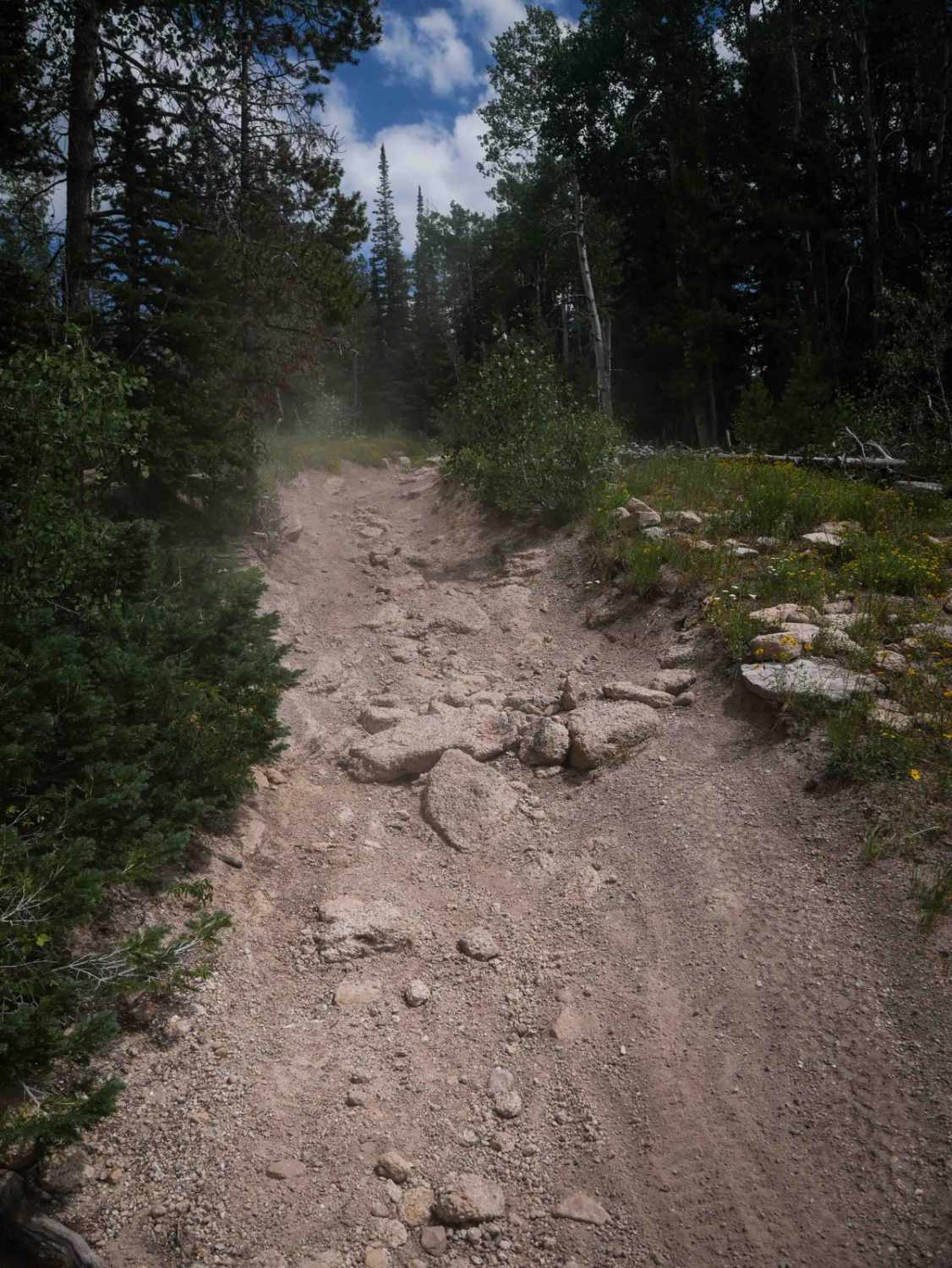
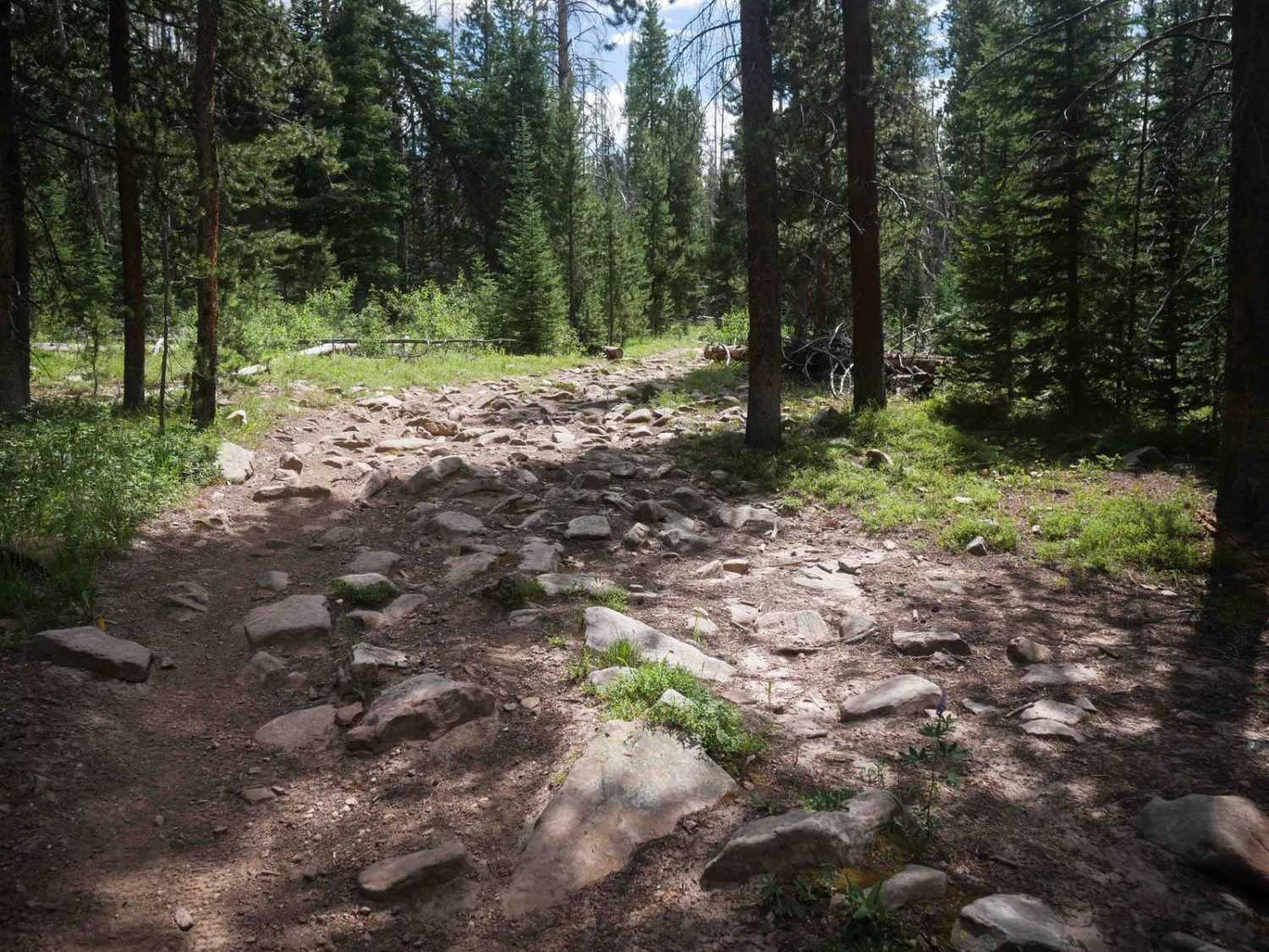
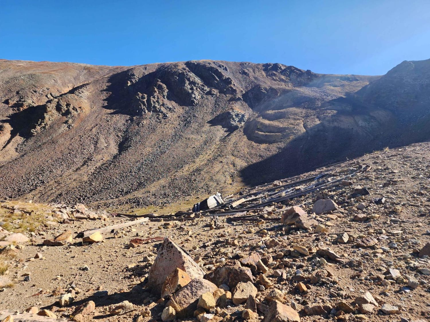
Trail Overview
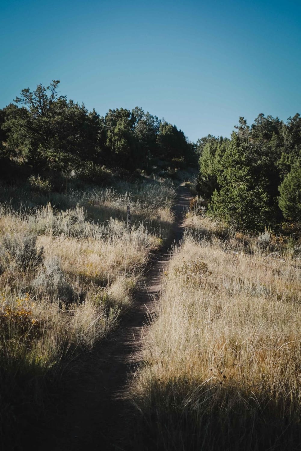
Manzanares is an 8.4-mile-long ATV trail that travels through a mix of rocky forested terrain, scenic meadows, and brief flowy segments. The trail begins with a gradual descent from the south entrance, flattens through the middle, and then climbs more steeply on the north end toward the Wyoming Trail. The route features consistently rocky and rooty terrain, including several sections with small rock gardens and root-covered ground, as well as a few moderate ledges about one foot tall. Though the rocks are generally manageable, they make for slower progress and contribute to the trail's moderate difficulty. The trail winds tightly through the trees, with curvy, technical turns, particularly on the rockier northern stretch. There are a few smoother segments that offer a brief reprieve from the rough surface. The trail crosses Forest Service Road 505.1 in several places, offering opportunities to bail out or access the trail in sections. Additional access is available from the Big Red Park Trailhead near the northern end. This trail is closed seasonally from 12/2 to 6/14.
Photos of Manzanares
Difficulty
This is an intermediate trail due to frequent rocky and root-covered terrain, curvy navigation, and moderate climbing. The steeper, rockier northern section adds to the overall difficulty.
Status Reports
Manzanares can be accessed by the following ride types:
- ATV (50")
- Dirt Bike
Manzanares Map
Popular Trails
Warden Gulch Road
Sandwash Basin
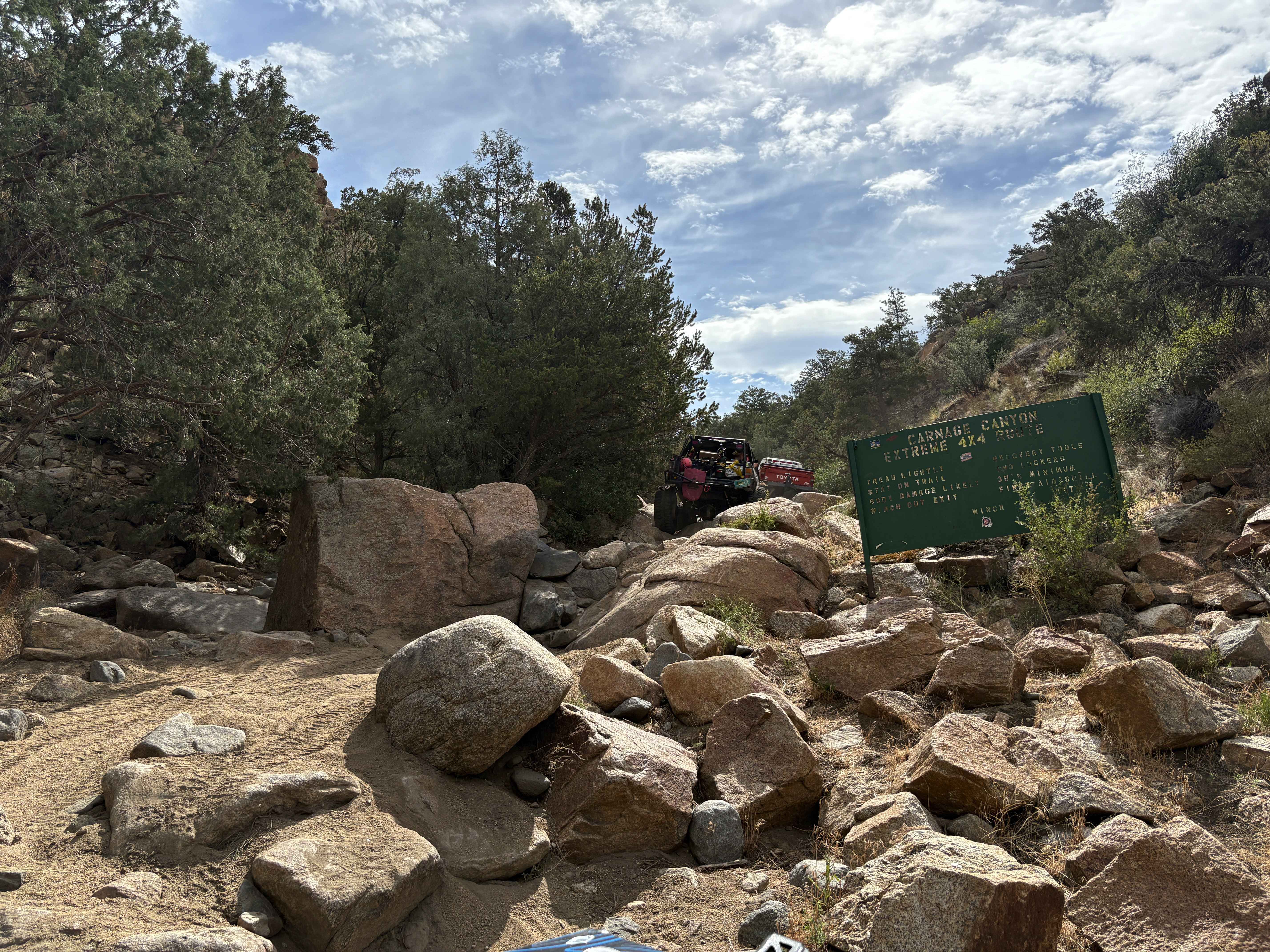
Carnage Canyon
Buckhorn Traverse
The onX Offroad Difference
onX Offroad combines trail photos, descriptions, difficulty ratings, width restrictions, seasonality, and more in a user-friendly interface. Available on all devices, with offline access and full compatibility with CarPlay and Android Auto. Discover what you’re missing today!