Mesa County Road 27 1/4
Total Miles
4.8
Technical Rating
Best Time
Spring, Fall, Summer
Trail Type
Full-Width Road
Accessible By
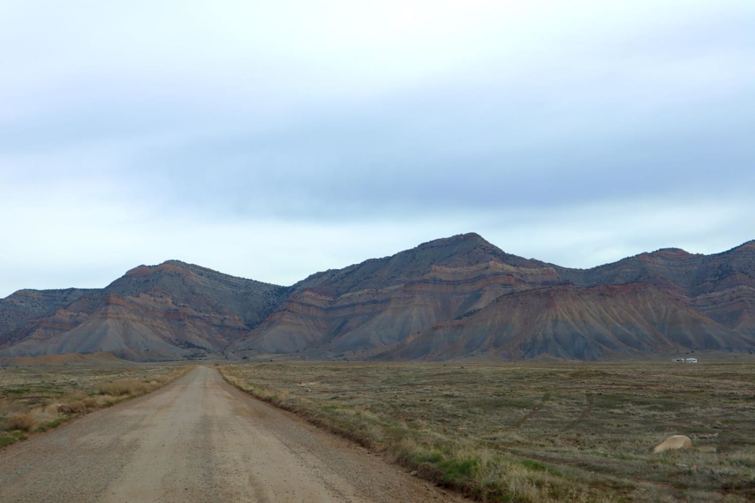
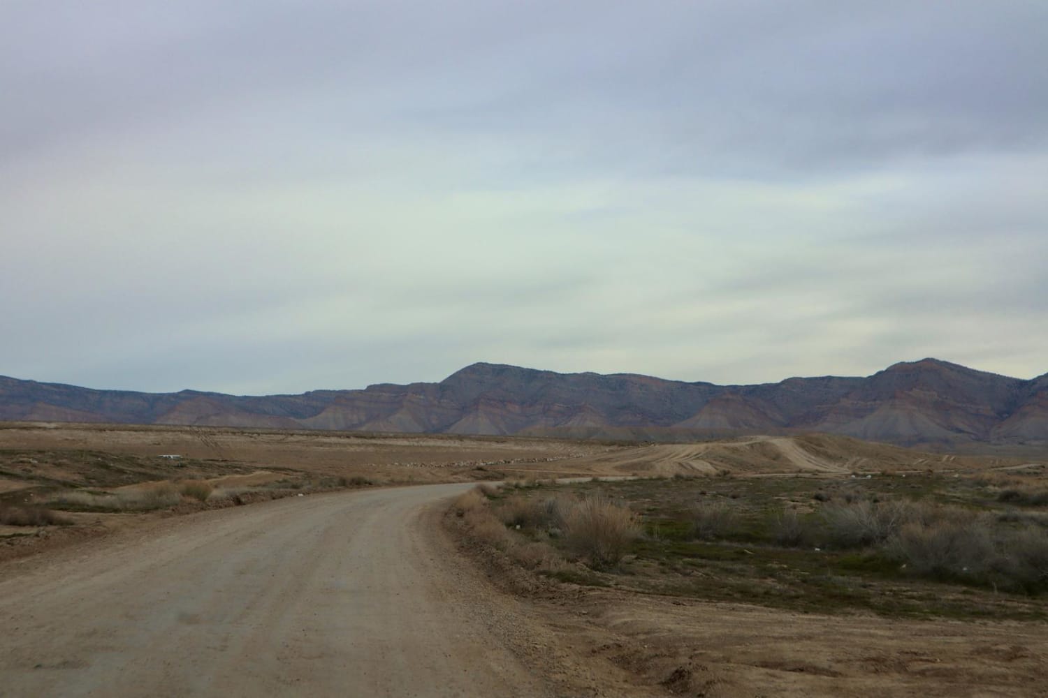
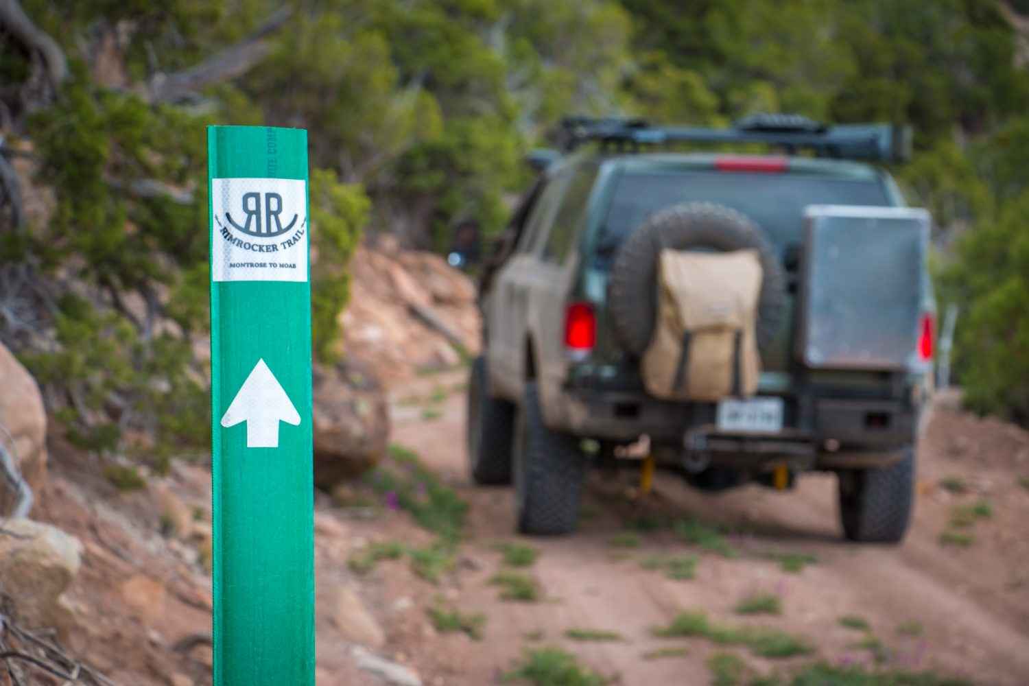
Trail Overview
A great route for OHV and dispersed camping access in the Grand Junction area. Mostly loose gravel, though the later portion of the trail gets slightly more demanding with larger rocks, ruts, and washes. The road Y's approximately 3.7 miles in, stay left to continue this route; the Right will lead you to a gun range. Camping is less congested the further in you travel; high clearance is recommended after mile four. Monitoring weather conditions prior to arrival is recommended. Please stay on designated routes and use only previously disturbed areas. Pack out what you pack in. Be mindful of free-ranging livestock.
Photos of Mesa County Road 27 1/4
Difficulty
This trail is mostly loose gravel. The road becomes rougher towards the end of the route.
Status Reports
Mesa County Road 27 1/4 can be accessed by the following ride types:
- High-Clearance 4x4
- SUV
- SxS (60")
- ATV (50")
- Dirt Bike
Mesa County Road 27 1/4 Map
Popular Trails
Turkey Trac Forest Road 343
Mt. Herman & Rampart Range Roads
The onX Offroad Difference
onX Offroad combines trail photos, descriptions, difficulty ratings, width restrictions, seasonality, and more in a user-friendly interface. Available on all devices, with offline access and full compatibility with CarPlay and Android Auto. Discover what you’re missing today!