Beaver Creek Lookout - BLM#6102J
Total Miles
0.1
Technical Rating
Best Time
Spring, Fall, Winter
Trail Type
High-Clearance 4x4 Trail
Accessible By
Trail Overview
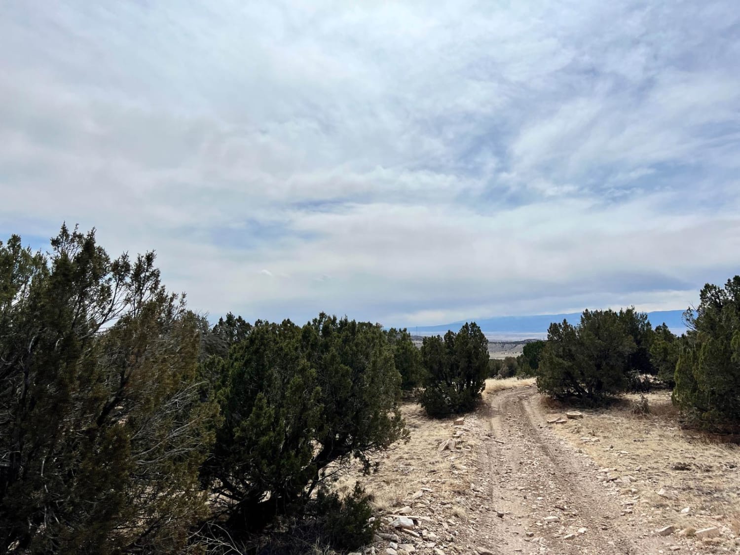
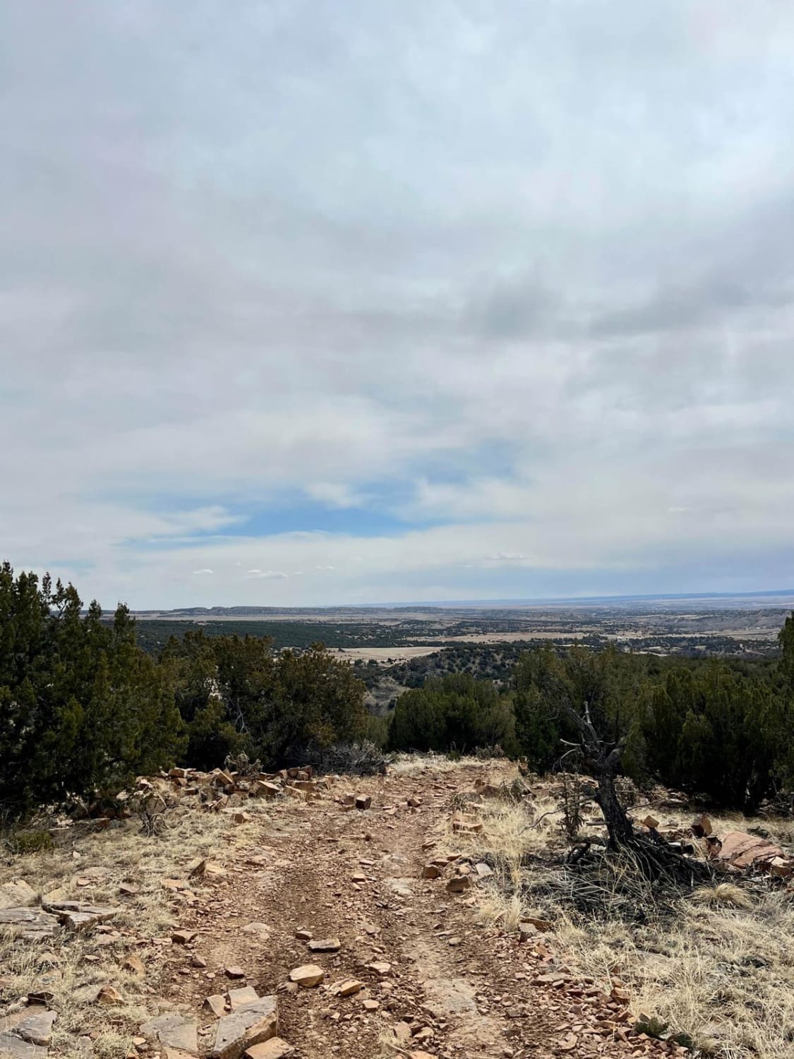
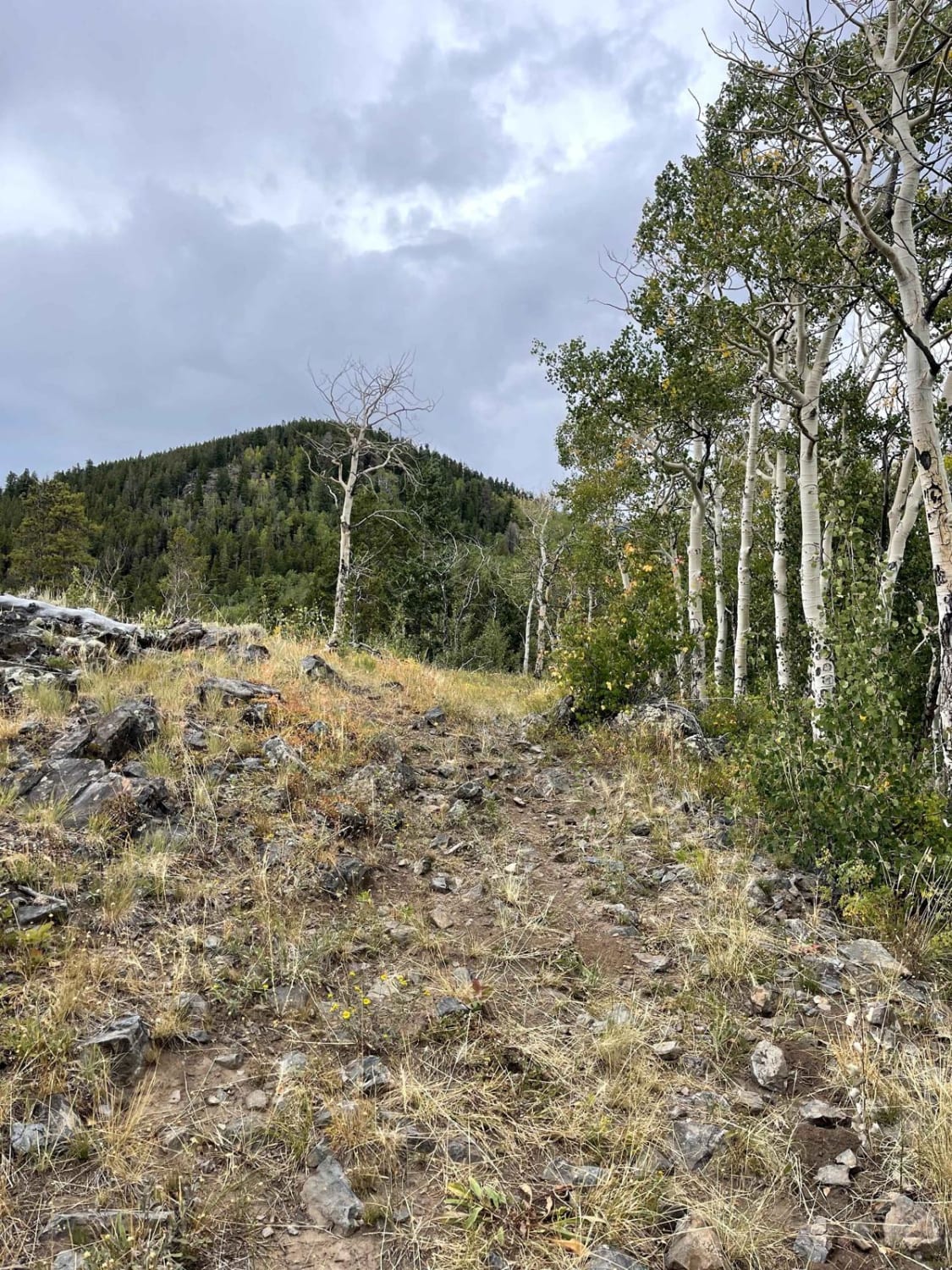
Trail#6102J is one of two sites drivable by a full-size 4x4 towards a scenic site where you can see Patton Canyon and Beaver Creek in the valley below as well as ruins of an old damn that collapse in 1921. Take a short walk toward the end of the cliff to see the panoramic view of the valley below. The trail traverses through pinon and juniper trees.
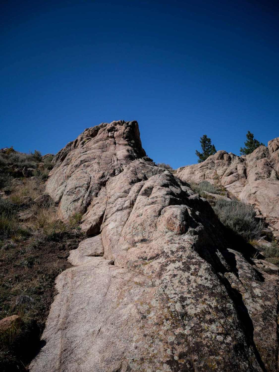
Photos of Beaver Creek Lookout - BLM#6102J
Difficulty
This section on Penrose Commons is a relatively easy dirt road that leads to a scenic overlook
Status Reports
Beaver Creek Lookout - BLM#6102J can be accessed by the following ride types:
- High-Clearance 4x4
- SxS (60")
- ATV (50")
- Dirt Bike
Beaver Creek Lookout - BLM#6102J Map
Popular Trails
West Green Mountain Trail (#719)
Little Gravel Mountain
Willow Mine Trail
The onX Offroad Difference
onX Offroad combines trail photos, descriptions, difficulty ratings, width restrictions, seasonality, and more in a user-friendly interface. Available on all devices, with offline access and full compatibility with CarPlay and Android Auto. Discover what you’re missing today!