Lake Evelyn Road - FS 136
Total Miles
3.9
Technical Rating
Best Time
Spring, Summer, Fall
Trail Type
Full-Width Road
Accessible By
Trail Overview
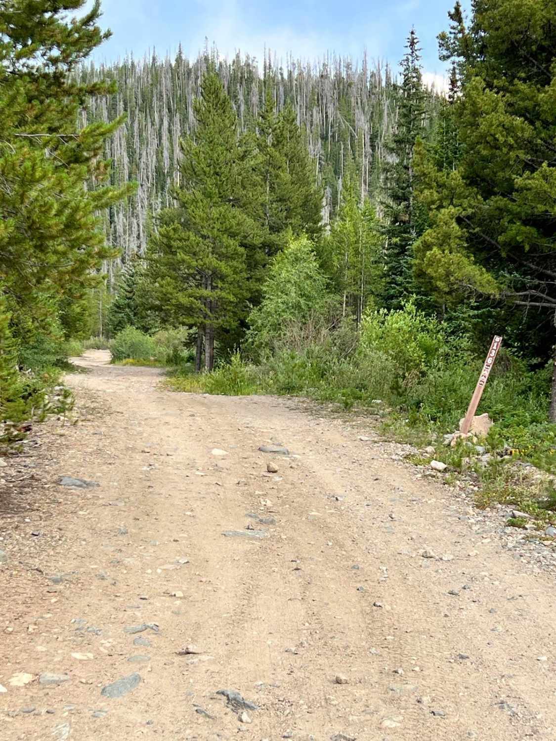
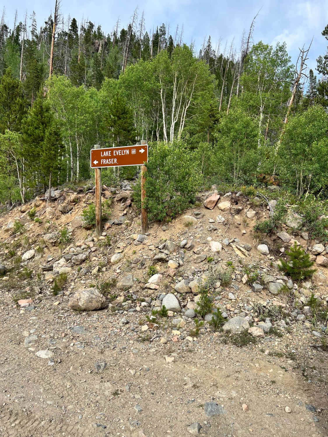
Forest Service Road 136, known as Lake Evelyn Road, branches off from Keyser Creek Road (FS 139) and heads east into a more remote and rugged section of the Arapaho National Forest. While it begins relatively smooth, the road quickly narrows to a single lane with limited pullouts, and the terrain becomes increasingly steep and rocky as you climb in elevation. Water can pool in low-lying sections, especially after storms or during spring runoff, and mild erosion has left some rutted and uneven stretches. Though passable with high-clearance 4WD vehicles, drivers should be prepared for tighter maneuvering, especially if encountering oncoming traffic. As the road winds higher into the mountains, it transitions from dense lodgepole pine to more open spruce and fir forest with sweeping views of the surrounding peaks, and dispersed campsites become fewer. This route ends at the Lake Evelyn Trailhead, the gateway to the Byers Peak Wilderness. From here, hikers can access the Lake Evelyn Trail - a scenic, moderately challenging hike to a pristine alpine lake nestled beneath rugged ridgelines.
Photos of Lake Evelyn Road - FS 136
Difficulty
The road is one lane wide with few areas to allow others to pass. Some sections become rockier and steeper with minor erosion and running water after periods of rain or snow melt.
History
Lake Evelyn Road (FS 136) leads to an alpine lake that was a project site for the CCC in the 1930s. Trails, erosion control structures, and campsites in the area may date back to this era of New Deal-era conservation work.
Status Reports
Lake Evelyn Road - FS 136 can be accessed by the following ride types:
- High-Clearance 4x4
- SUV
- SxS (60")
- ATV (50")
- Dirt Bike
Lake Evelyn Road - FS 136 Map
Popular Trails


The onX Offroad Difference
onX Offroad combines trail photos, descriptions, difficulty ratings, width restrictions, seasonality, and more in a user-friendly interface. Available on all devices, with offline access and full compatibility with CarPlay and Android Auto. Discover what you’re missing today!