La Plata Canyon/CR 124
Total Miles
9.4
Technical Rating
Best Time
Summer
Trail Type
Full-Width Road
Accessible By
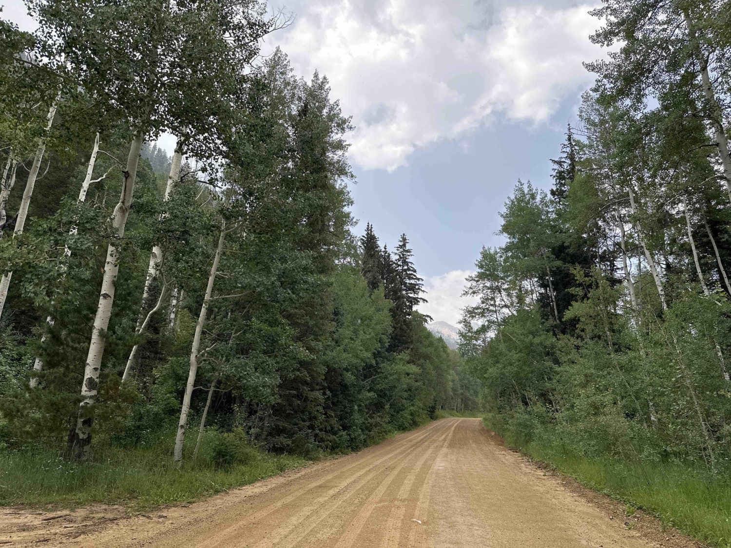
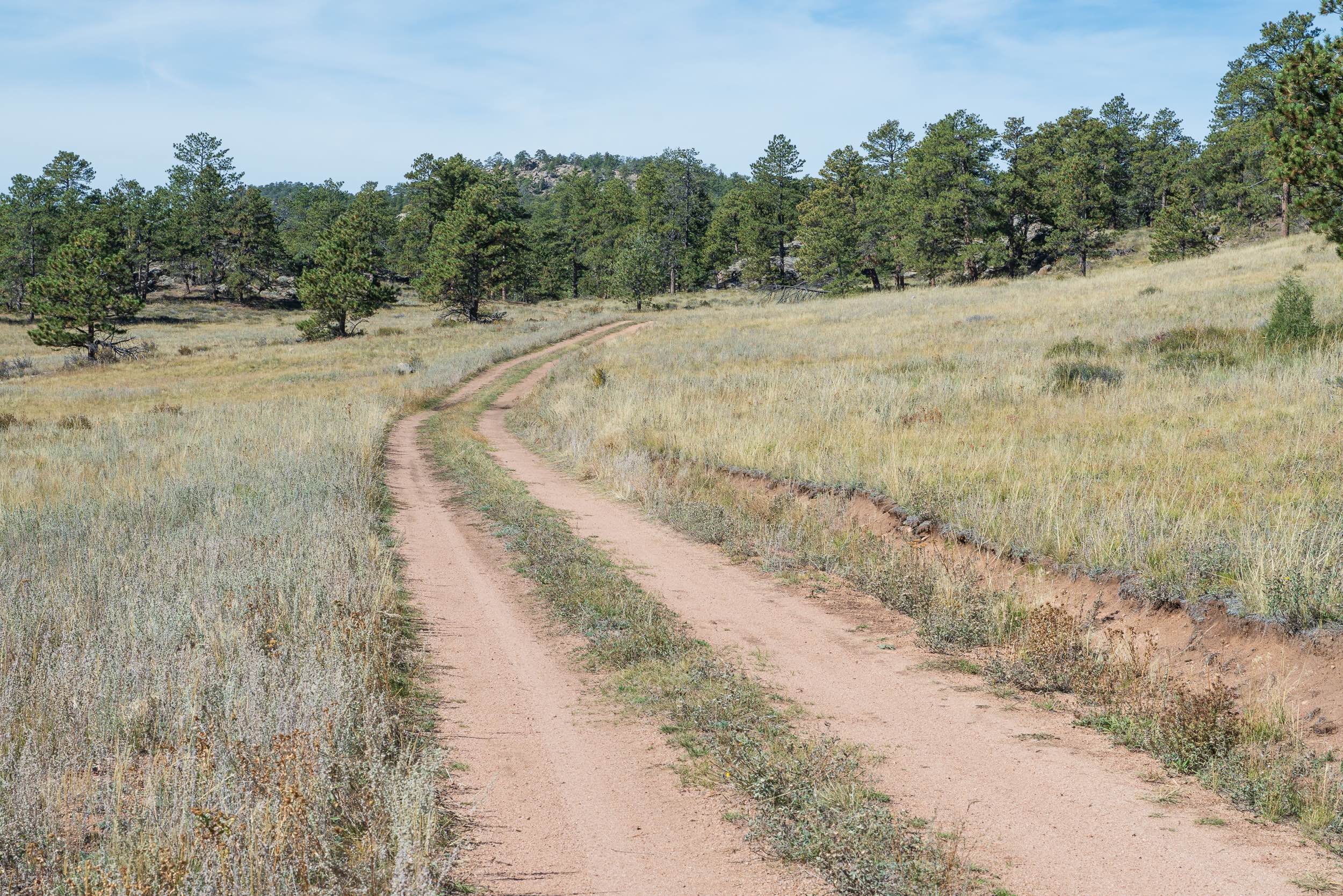
Trail Overview
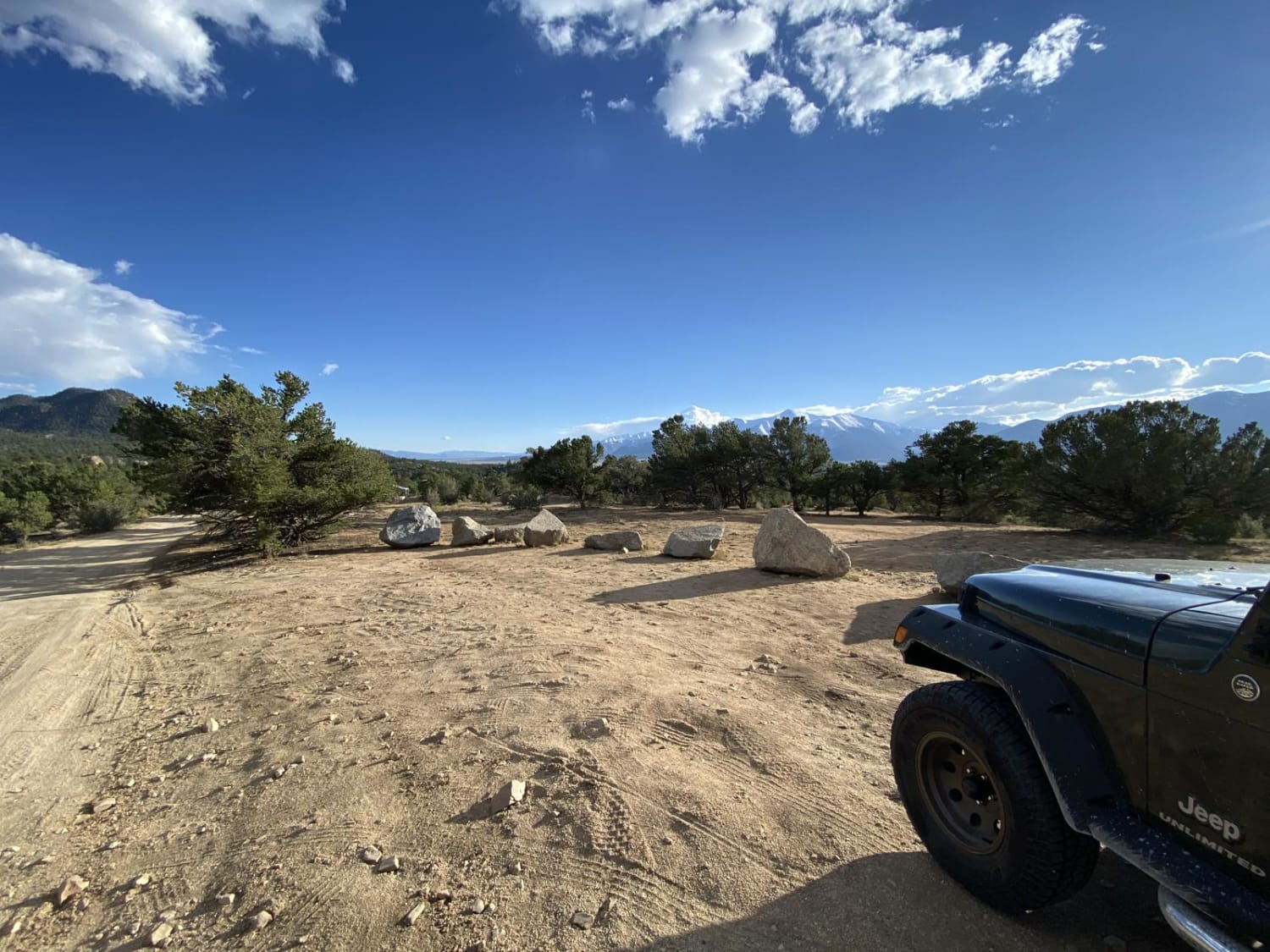
Most of this trail is fairly well-maintained dirt and gravel that winds along the La Plata river, though towards the end the Pa Plata headwaters run across the trail for a final ascent above timberline with some fairly steep grades and exposed rock. The trail increases almost 3,000 feet in elevation, ending at the Sliderock and Highline portions of the Colorado trail trailhead near the summit of Kennebec Pass. For most of the trail two-wheel drive is sufficient, but the "4 x 4 Recommended" sign just before the last two miles towards the pass is sage advice. Cell phone reception disappears quickly, but the popularity of the trail prevents any true isolation and the folks encountered along the way are friendly and courteous. The start of the trail is a leisurely mosey alongside the La Plata River where multiple formal and dispersed camping areas with pit toilets are tucked amongst the ponderosa pine and scrub oak. What remains of the old mining town of La Plata City can be seen on both sides of the trail before the climb continues up through abandoned mining and lumber operations. As the trail climbs the side of the canyon, forest and dispersed camping sites turn into intermittent pine forests and meadows displaying profusions of wildflowers while marmots peek out from behind rocks along the side of the road. The last mile or so of the trail is fairly open and above timberline, with breathtaking views of the jagged Colorado Rockies. The rugged beauty and multiple formal and dispersed camping areas at the bottom of the canyon attract a good number of people during the summer months; however, there are generally campsites available. Multiple OHV trails branch off of La Plata Canyon/CR 124. Many campground sites are pull-through and leave space for campers, and toy hauler parking can be found especially at the La Plata City interpretation site. Temperature drops from the bottom of the canyon to the top make dressing in layers advisable, and rain or short-lived thunderstorms are a very real possibility most afternoons that the trail is open to non-snowmobile traffic.
Photos of La Plata Canyon/CR 124

Difficulty
Most of this trail is an easy 1 to 2; however, the last two miles of the trail include some craggy exposed rock and loose rock over short, steep grades.
History
"La Plata" means "The silver" in Spanish, and the remains of the mining town of La Plata City can be seen heading up the canyon. A little higher up the road, look for the tall, lone river-rock chimney that once belonged to the Barbierre Hotel and which is all that remains of the mining town of Parrott City. The trail once connected mining camps and towns along the La Plata River all the way up to the Cumberland Mill the ruins of which can still be seen a thousand yards or so before the parking area at the top of the trail.
Status Reports
La Plata Canyon/CR 124 can be accessed by the following ride types:
- High-Clearance 4x4
- SUV
- SxS (60")
- ATV (50")
- Dirt Bike
La Plata Canyon/CR 124 Map
Popular Trails
Forest Service Road 181C
Windmill Loop
The onX Offroad Difference
onX Offroad combines trail photos, descriptions, difficulty ratings, width restrictions, seasonality, and more in a user-friendly interface. Available on all devices, with offline access and full compatibility with CarPlay and Android Auto. Discover what you’re missing today!