Lou Creek ATV
Total Miles
2.5
Technical Rating
Best Time
Summer, Fall
Trail Type
50" Trail
Accessible By
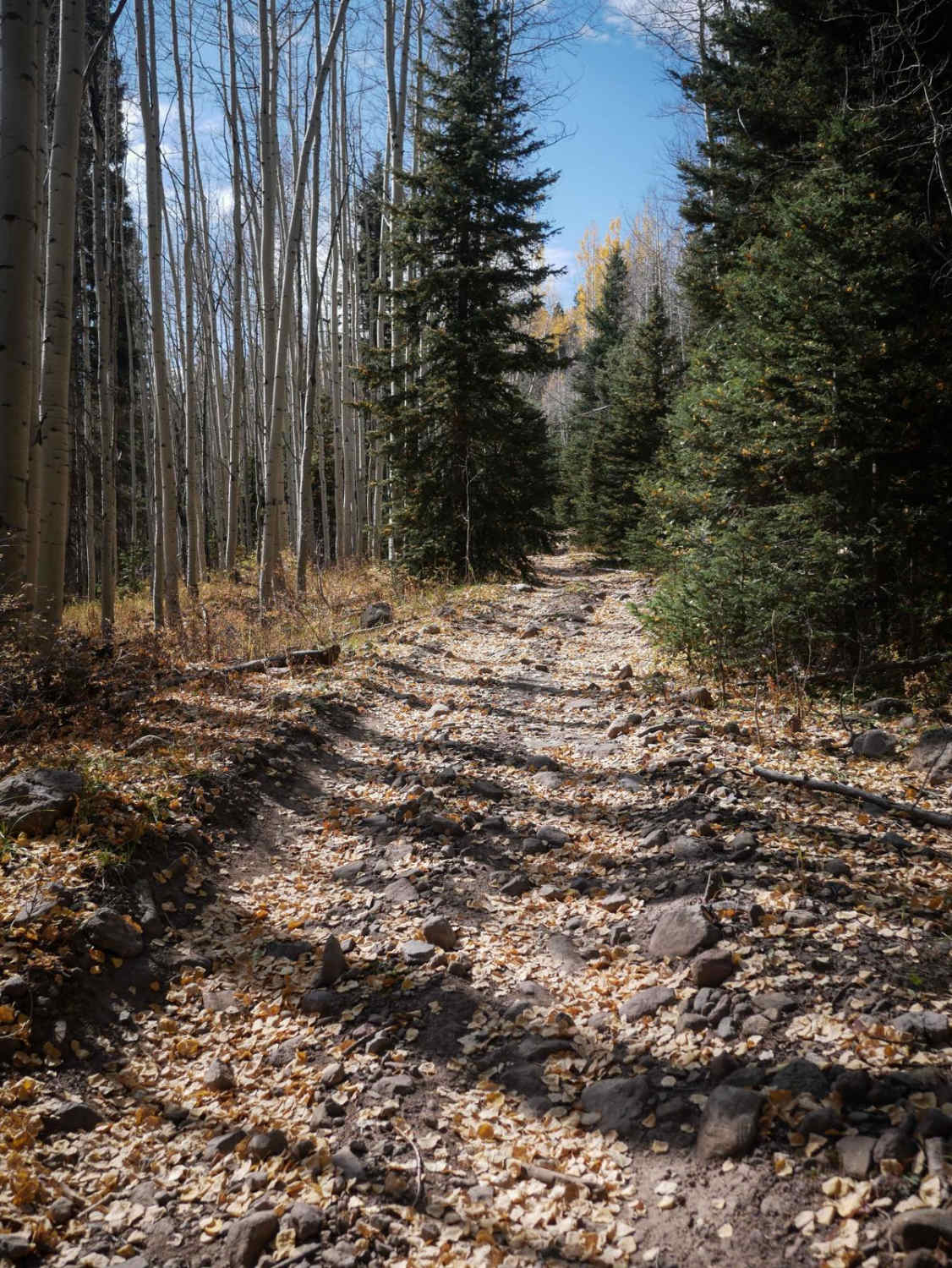
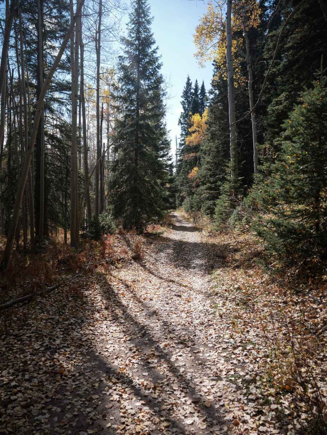
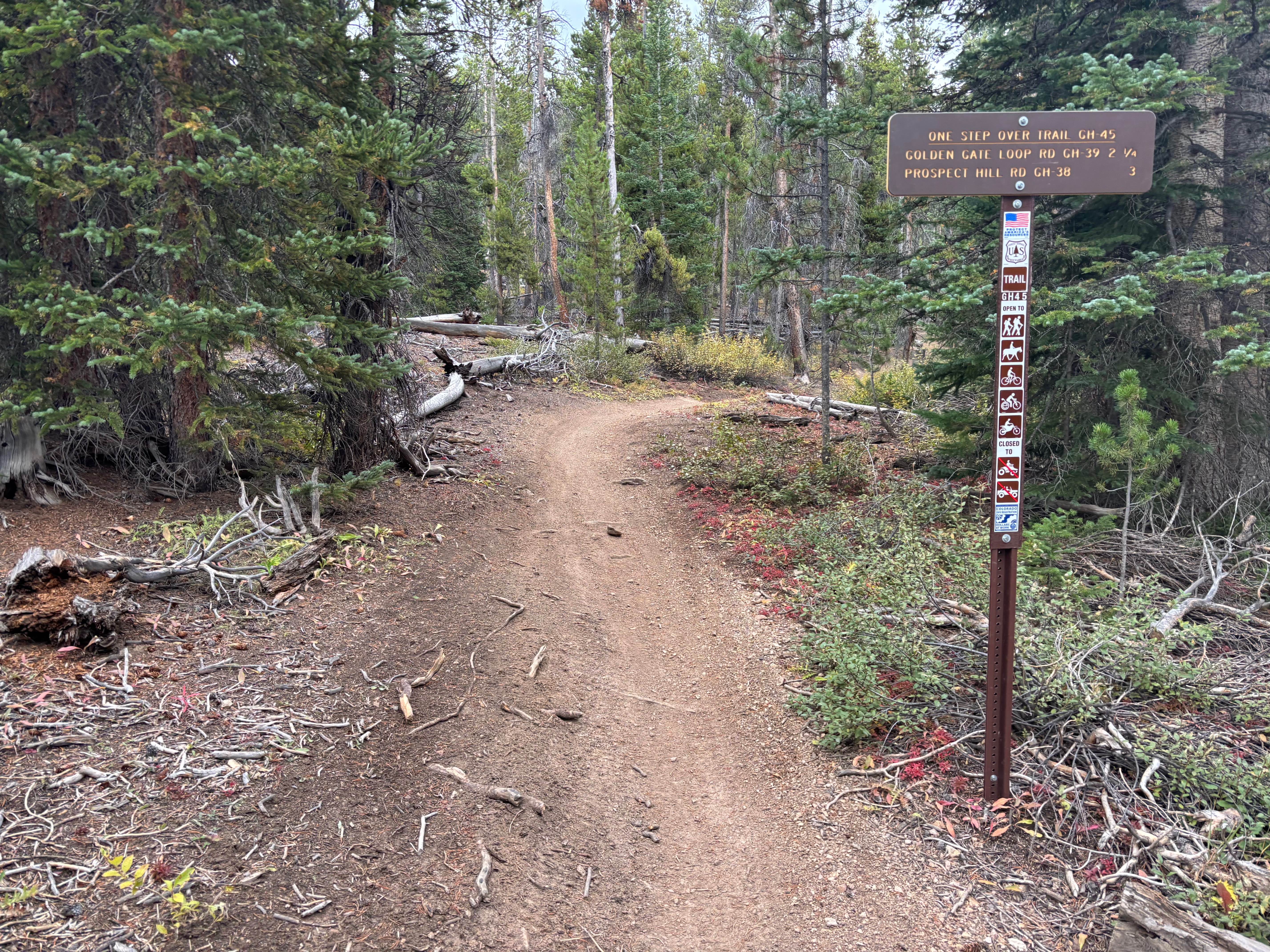
Trail Overview
The east end of Lou Creek ATV Trail starts out as more of a continuation of the Cowboy Lakes ATV trail, climbing up the mountainside on an easy two-track. It comes to the intersection with the Fox Creek ATV trail, and heads south, then zig zags through the Uncompahgre National Forest until it ends at the entrance to the Nate Creek single track. The trail is pretty easy, with small pieces of rock, loose sticks, shallow ruts, and gradual curves. It has big rollers as it traverses the side of the mountain, gradually climbing up throughout the 2.7 miles. The trail gains about 900 feet of elevation throughout the entire route. It has tighter curves through the forest floor, and gets a bit rockier as it climbs up, toward the west end, but is still easy. The steepest spot is the very end.
Photos of Lou Creek ATV
Difficulty
This is an easy ATV trail that has steep spots and easy rocky spots but should be manageable for most average riders.
Lou Creek ATV can be accessed by the following ride types:
- ATV (50")
- Dirt Bike
Lou Creek ATV Map
Popular Trails
Buzzard Divide Road - FS#265
The onX Offroad Difference
onX Offroad combines trail photos, descriptions, difficulty ratings, width restrictions, seasonality, and more in a user-friendly interface. Available on all devices, with offline access and full compatibility with CarPlay and Android Auto. Discover what you’re missing today!