Buzzard Divide Road - FS#265
Total Miles
9.8
Technical Rating
Best Time
Spring, Summer, Fall
Trail Type
Full-Width Road
Accessible By
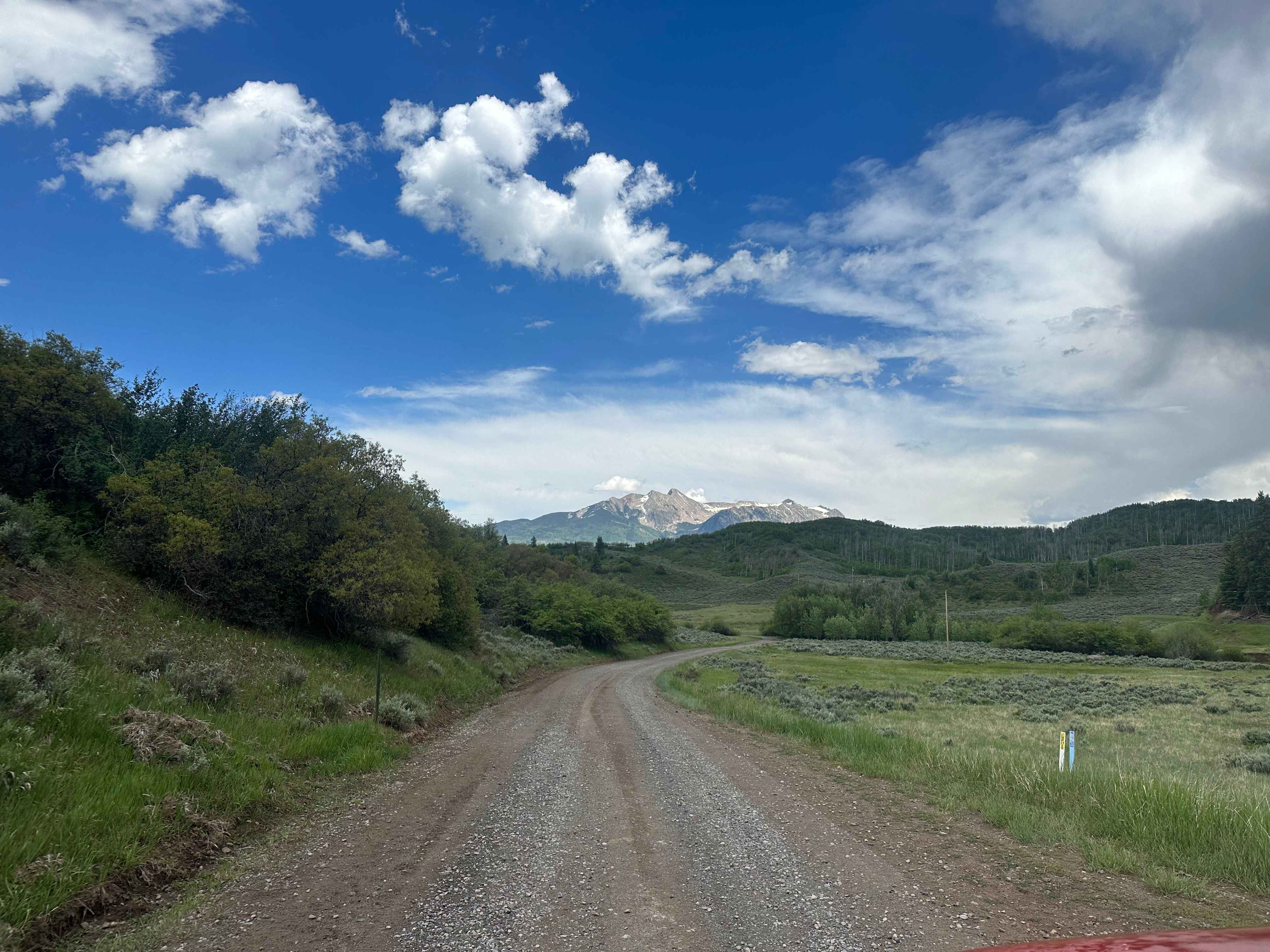
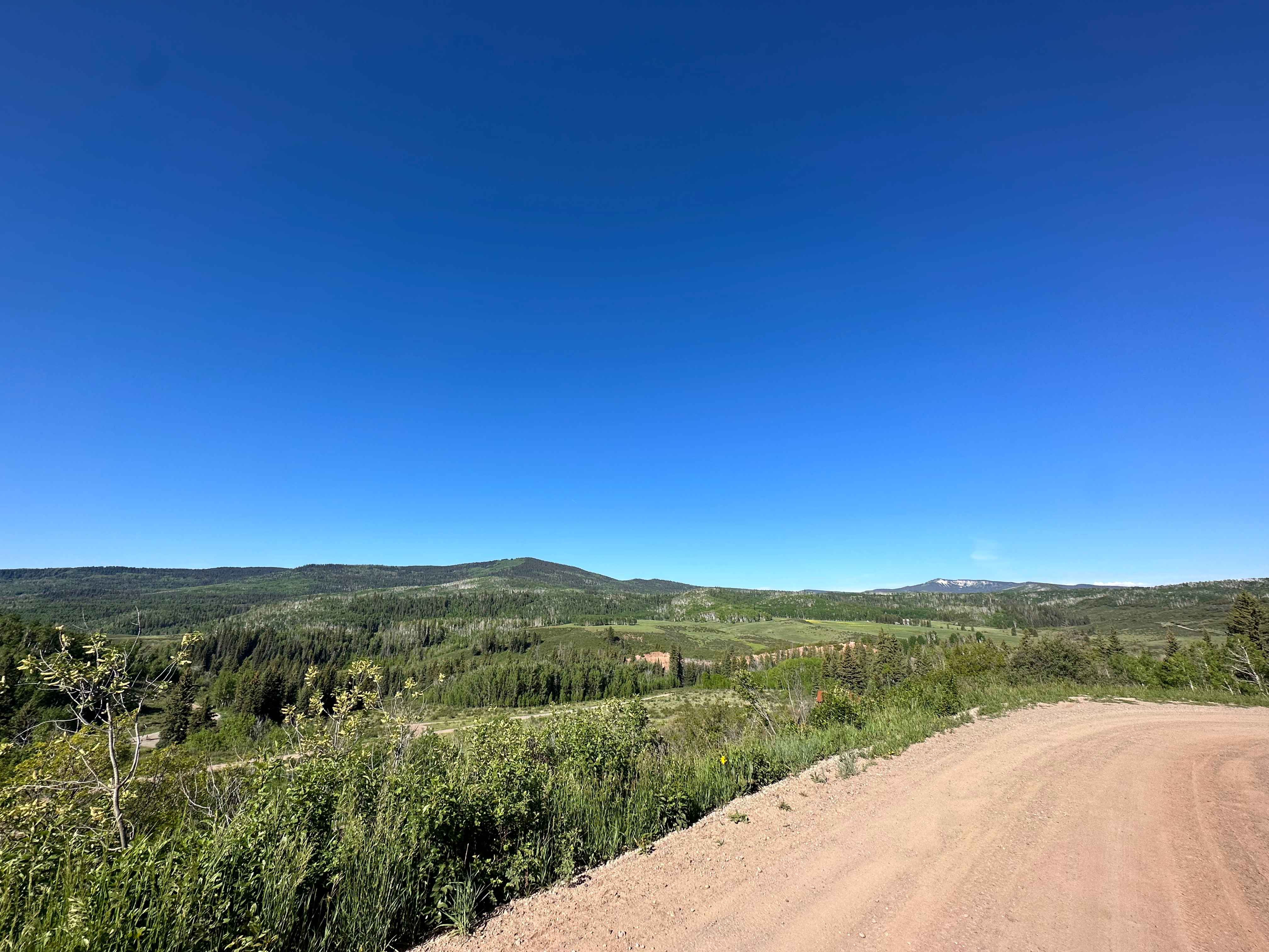
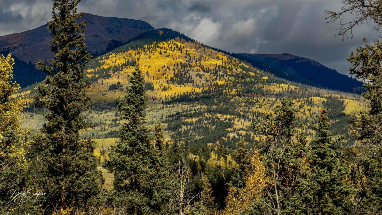
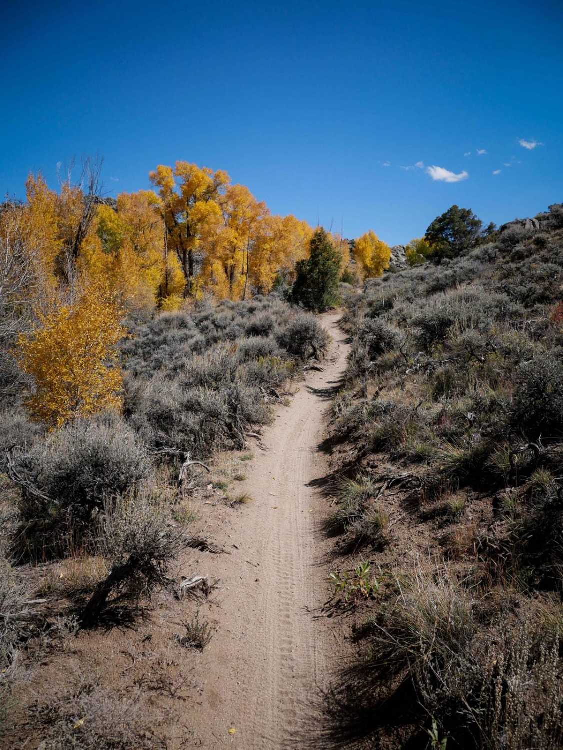
Trail Overview
Buzzard Divide Road is a graded gravel road that provides easy access from CO-133 to the Grand Mesa and eventually to the town of Collbran. The road begins with a short easement through private land, and then winds through open meadows and aspen forests before reaching other accessible forest roads. There are ample opportunities to explore other roads and trails branching off from Buzzard Divide. The upper half of the road (starting at the intersection with FS#856) is closed to vehicles over 50 inch in width from December 1st - May 31st of each year, in order to preserve the soft roadbed.
Photos of Buzzard Divide Road - FS#265
Difficulty
The road is well-maintained in summer and typically passable by a 2WD vehicle in dry conditions, though AWD or 4WD is recommended due to the erratic weather on Grand Mesa.
Status Reports
Buzzard Divide Road - FS#265 can be accessed by the following ride types:
- High-Clearance 4x4
- SUV
- SxS (60")
- ATV (50")
- Dirt Bike
Buzzard Divide Road - FS#265 Map
Popular Trails
Governor Basin
Red Mountain Pass
Buffalo Peaks Road #2 - 431
The onX Offroad Difference
onX Offroad combines trail photos, descriptions, difficulty ratings, width restrictions, seasonality, and more in a user-friendly interface. Available on all devices, with offline access and full compatibility with CarPlay and Android Auto. Discover what you’re missing today!