Nipple Peak ATV Trail
Total Miles
4.3
Technical Rating
Best Time
Summer, Fall
Trail Type
50" Trail
Accessible By
Trail Overview
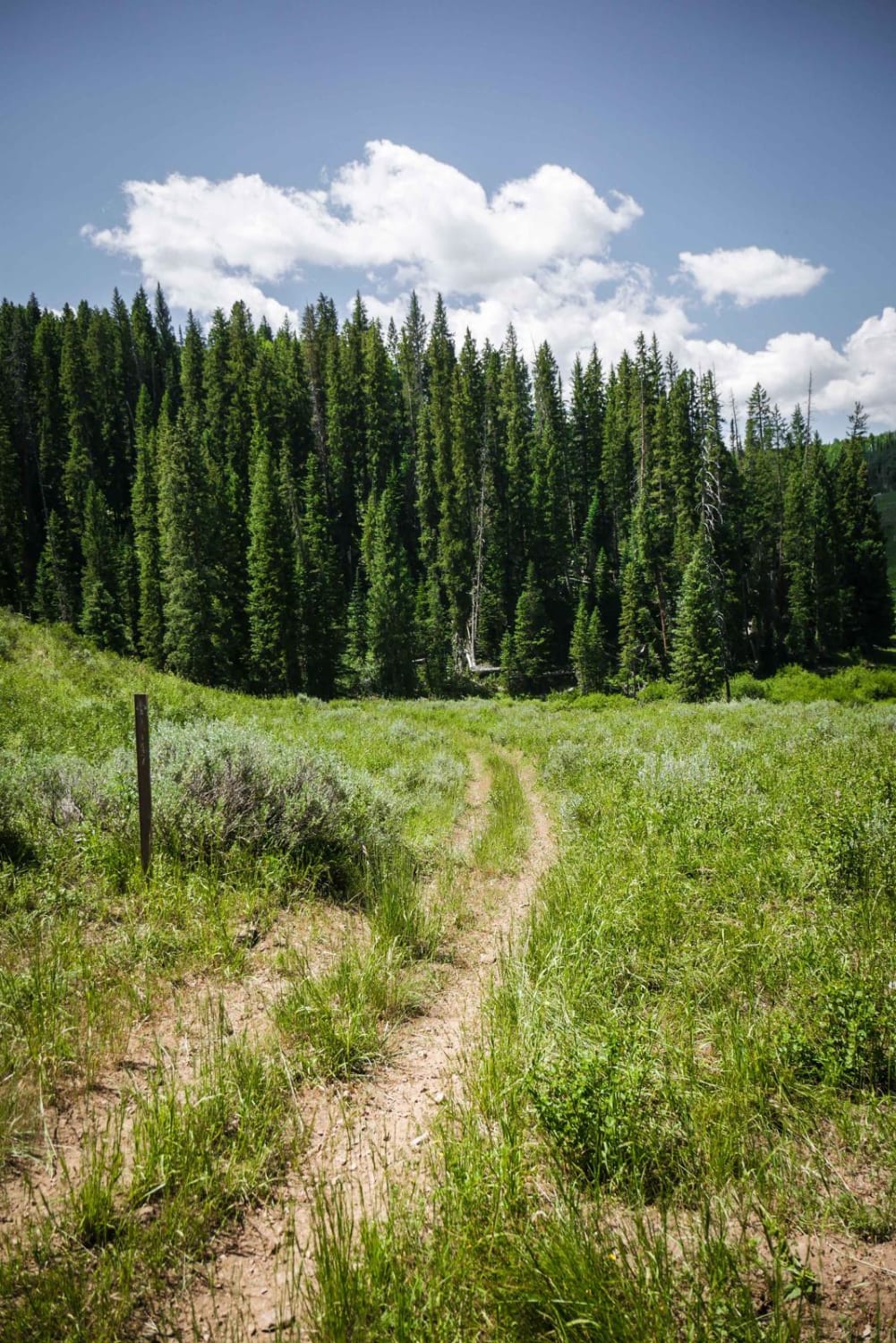
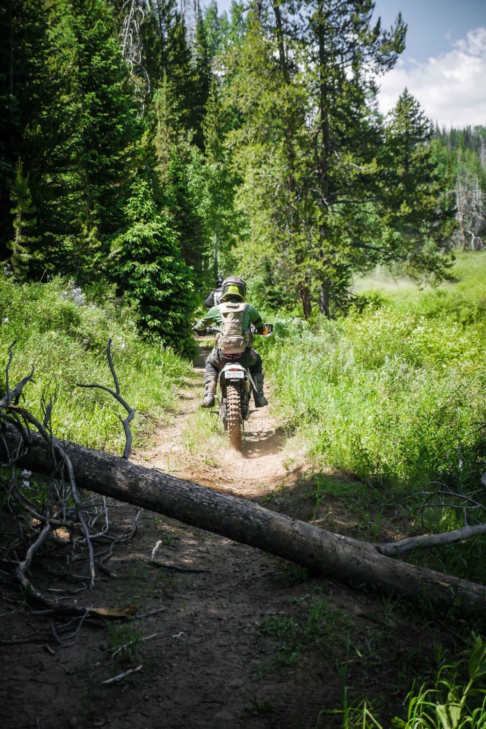
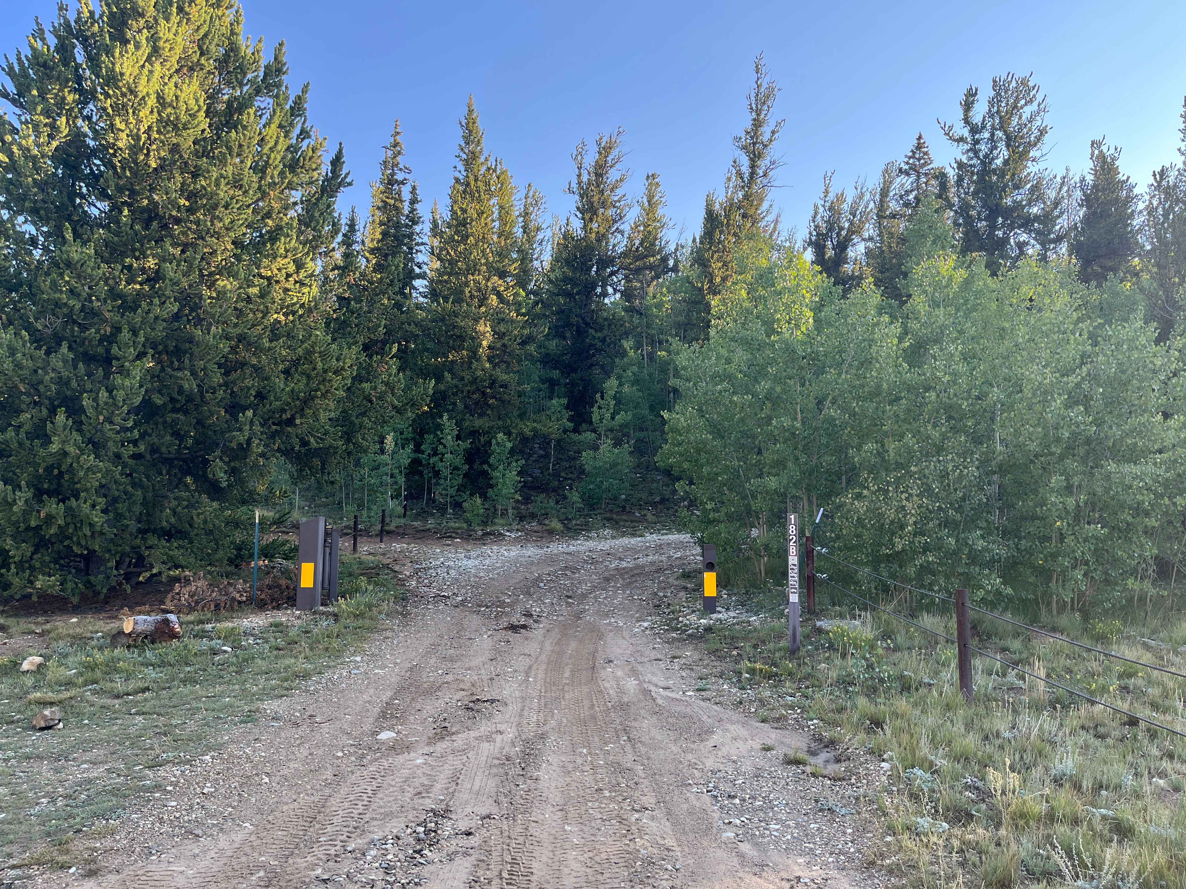
This is an easy 50-inch trail in the Hahn's Peak trail system north of Steamboat, Colorado. The trail has some loose sticks, small roots, and rocks as it goes through wide-open meadows and aspen trees. It's a two-track that is overgrown with tall grass in the middle, and mostly ridden by dirt bikers to access the Prospector or Nipple Peak single tracks. There's potential for downed logs here because there is a lot of beetle kill in this area. There are a couple easy stream crossings and several mud puddles. Overall the trail is easy, with a couple steep climbs with roots and rocks. The west end of the trail starts in a meadow with an awesome view of the mountains. The 500inch designation ends on the east end of the trail when it turns into the Nipple Peak single track.
Photos of Nipple Peak ATV Trail
Difficulty
This is a short and easy ATV trail with sticks, roots, and rocks, but no obstacles.
Status Reports
Nipple Peak ATV Trail can be accessed by the following ride types:
- ATV (50")
- Dirt Bike
Nipple Peak ATV Trail Map
Popular Trails


FR 556 - Clear Creek Ridge

Rattlesnake
The onX Offroad Difference
onX Offroad combines trail photos, descriptions, difficulty ratings, width restrictions, seasonality, and more in a user-friendly interface. Available on all devices, with offline access and full compatibility with CarPlay and Android Auto. Discover what you’re missing today!