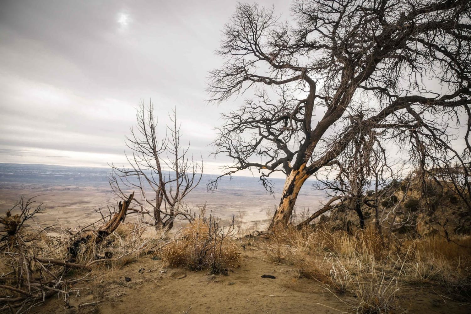
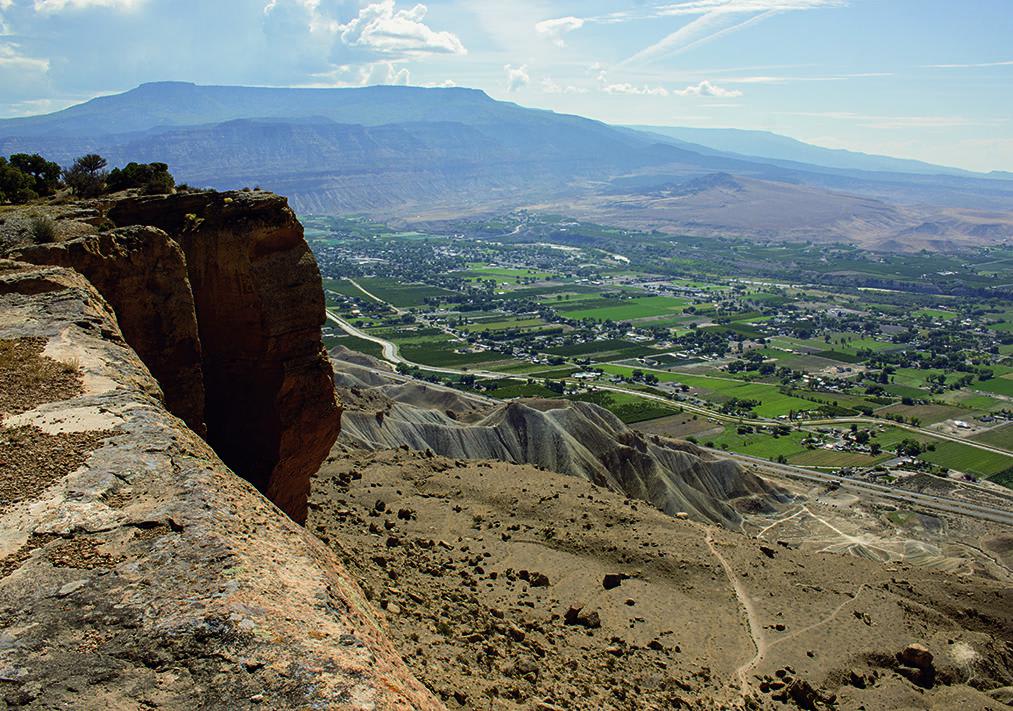
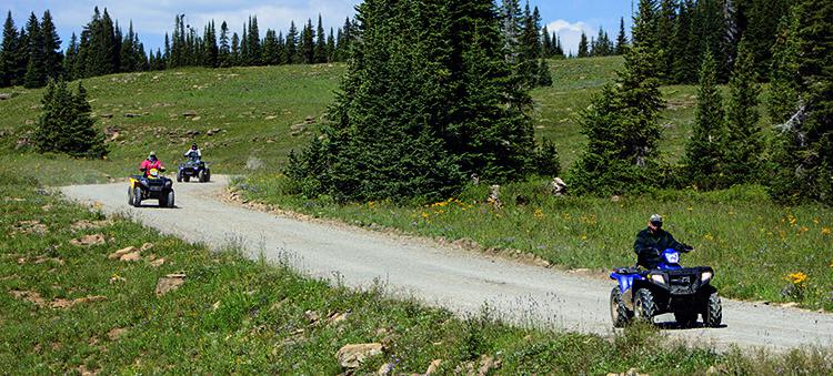
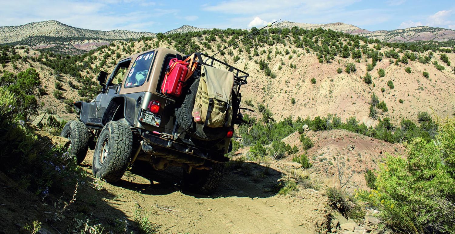
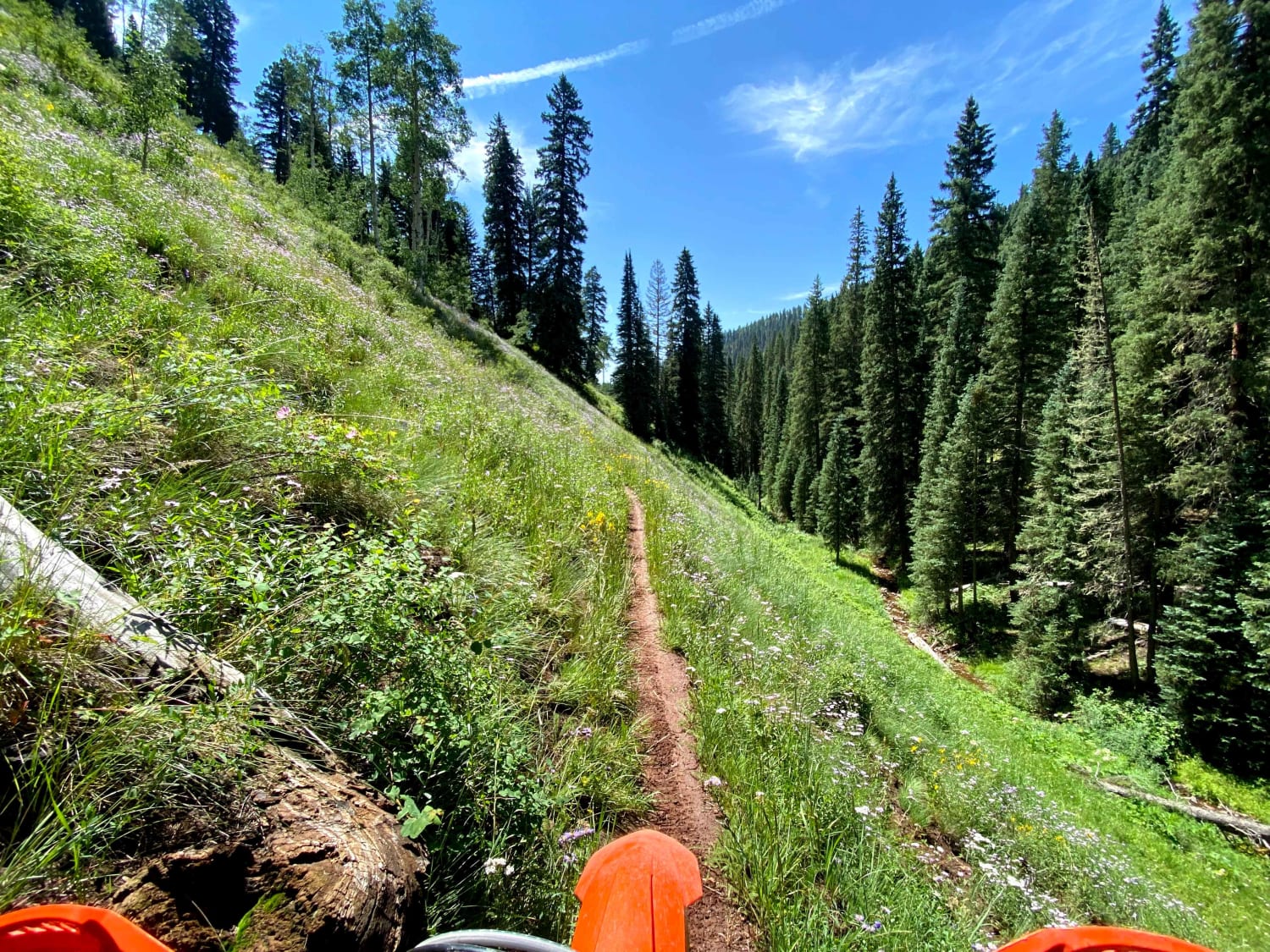
Off-Road Trails in Colorado
Discover off-road trails in Colorado

Learn more about Clover Creek Road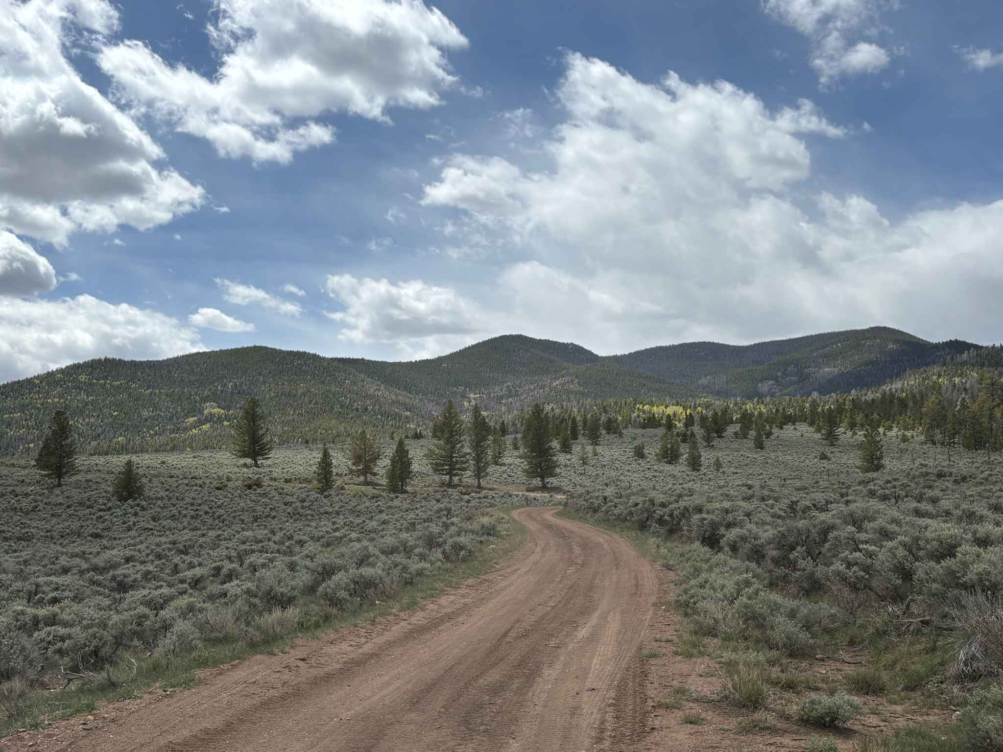
Clover Creek Road
Total Miles
1.9
Tech Rating
Easy
Best Time
Spring, Summer, Fall, Winter
Learn more about Cloverdale Mine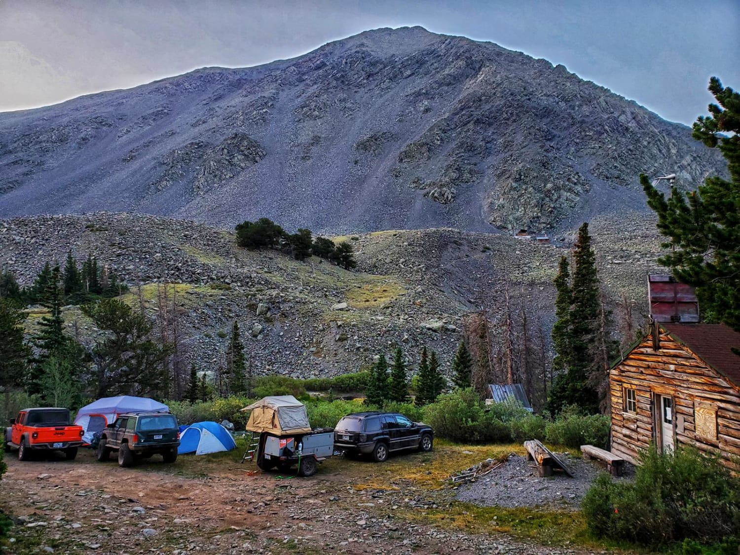
Cloverdale Mine
Total Miles
7.6
Tech Rating
Moderate
Best Time
Summer, Fall
Learn more about Confirmed Road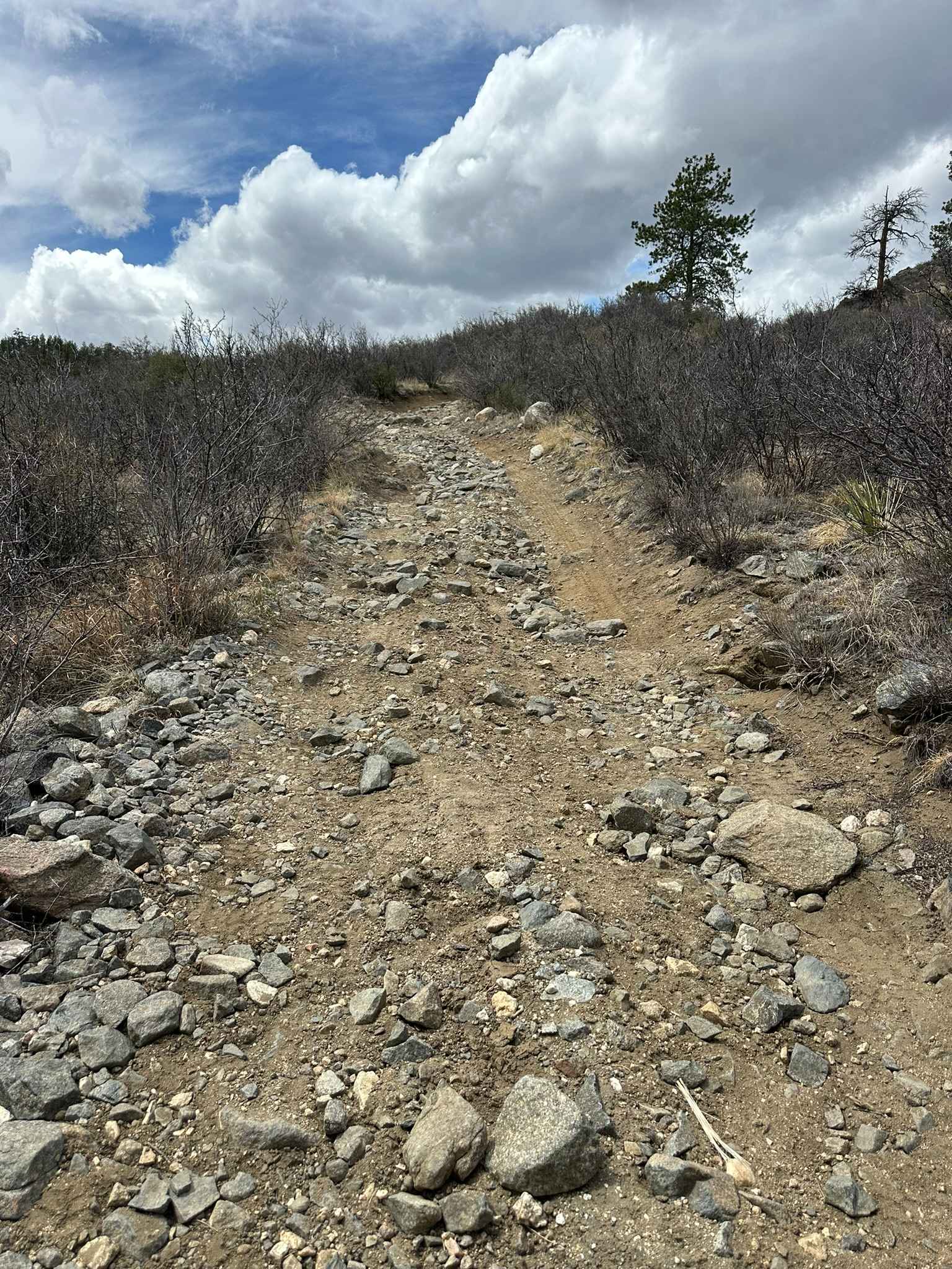
Confirmed Road
Total Miles
3.2
Tech Rating
Moderate
Best Time
Spring, Summer, Fall
Learn more about Connection 582 
Connection 582
Total Miles
2.0
Tech Rating
Moderate
Best Time
Summer, Fall
Learn more about Corkscrew Gulch, Hurricane Pass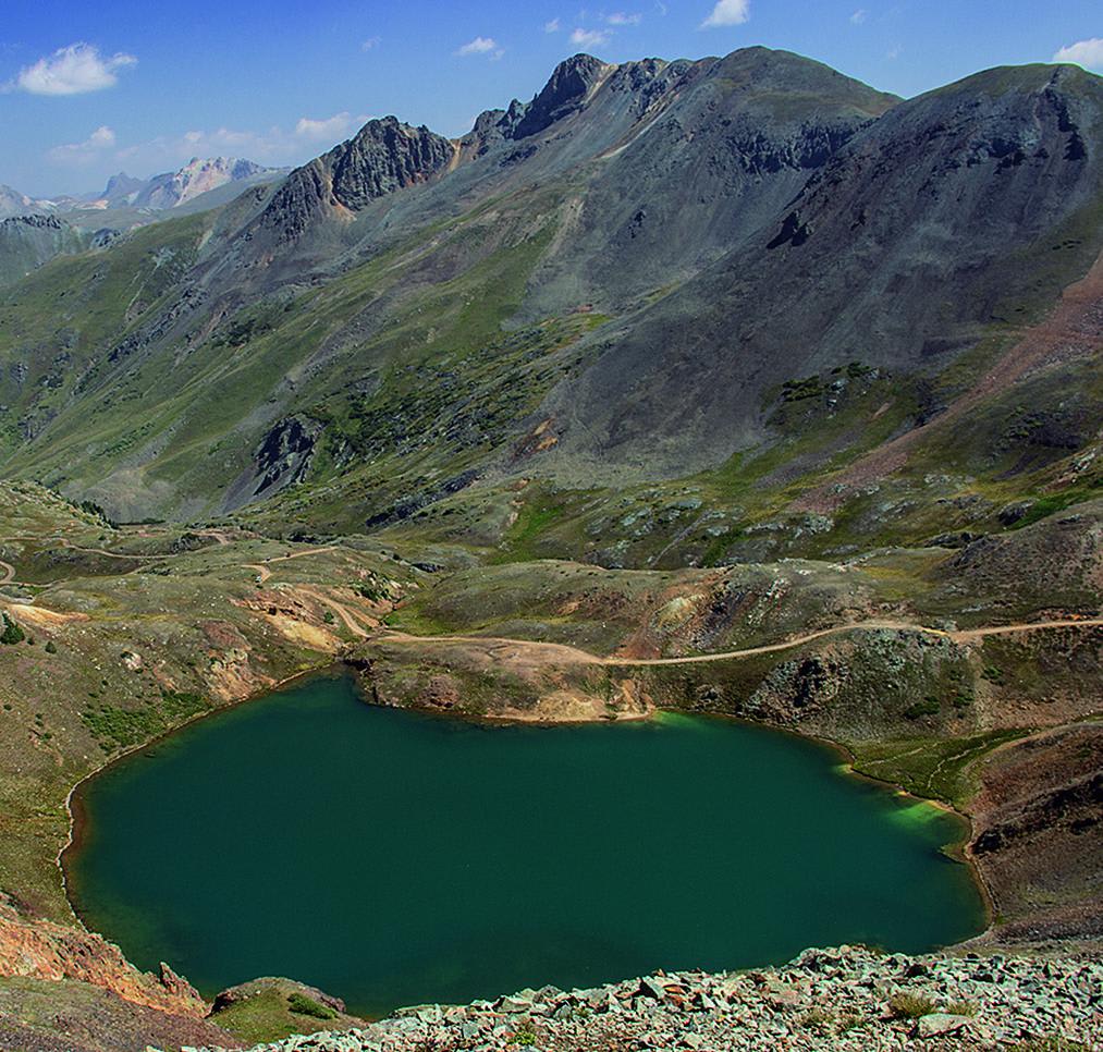
Corkscrew Gulch, Hurricane Pass
Total Miles
7.1
Tech Rating
Easy
Best Time
Summer, Fall
Learn more about Cottonwood Pass
Cottonwood Pass
Total Miles
9.7
Tech Rating
Easy
Best Time
Spring, Summer, Fall
Learn more about Countryside Tour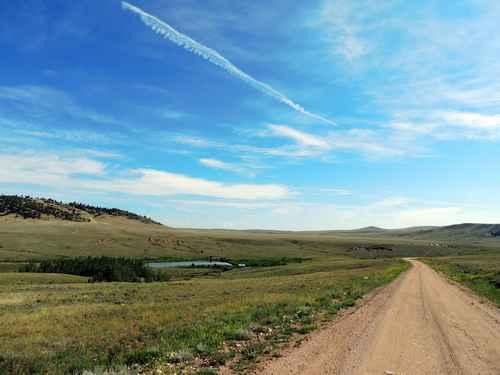
Countryside Tour
Total Miles
116.8
Tech Rating
Easy
Best Time
Summer, Fall, Spring
Learn more about County Road 1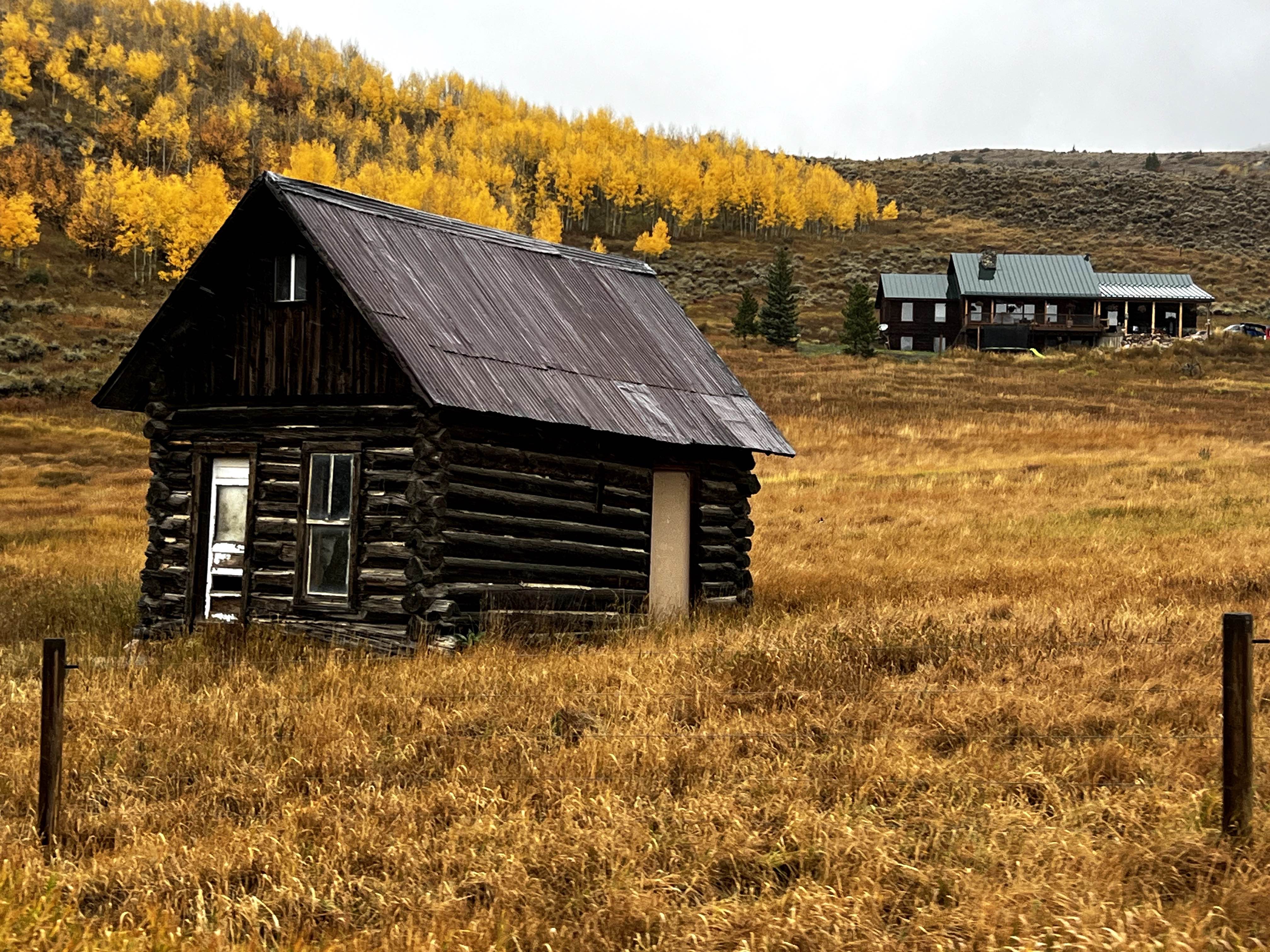
County Road 1
Total Miles
6.1
Tech Rating
Easy
Best Time
Spring, Summer, Fall
Learn more about County Road 10 to Hurricane Pass 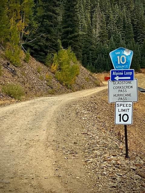
County Road 10 to Hurricane Pass
Total Miles
1.4
Tech Rating
Easy
Best Time
Spring, Summer, Fall
Learn more about County Road 110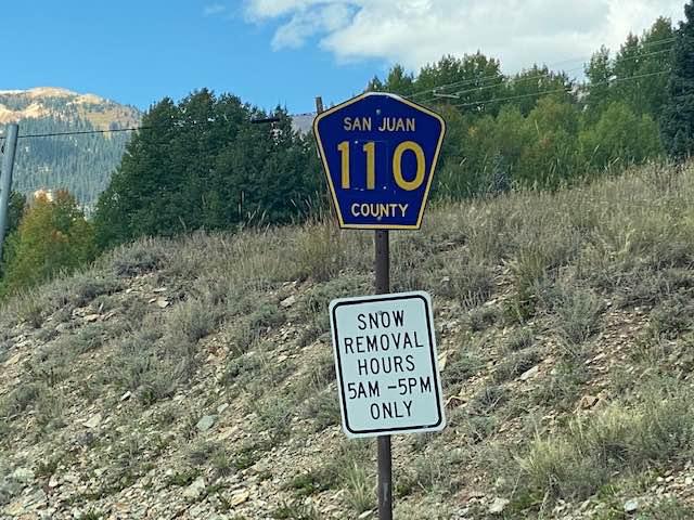
County Road 110
Total Miles
5.9
Tech Rating
Easy
Best Time
Spring, Summer, Fall, Winter
Learn more about County Road 14 - Lake City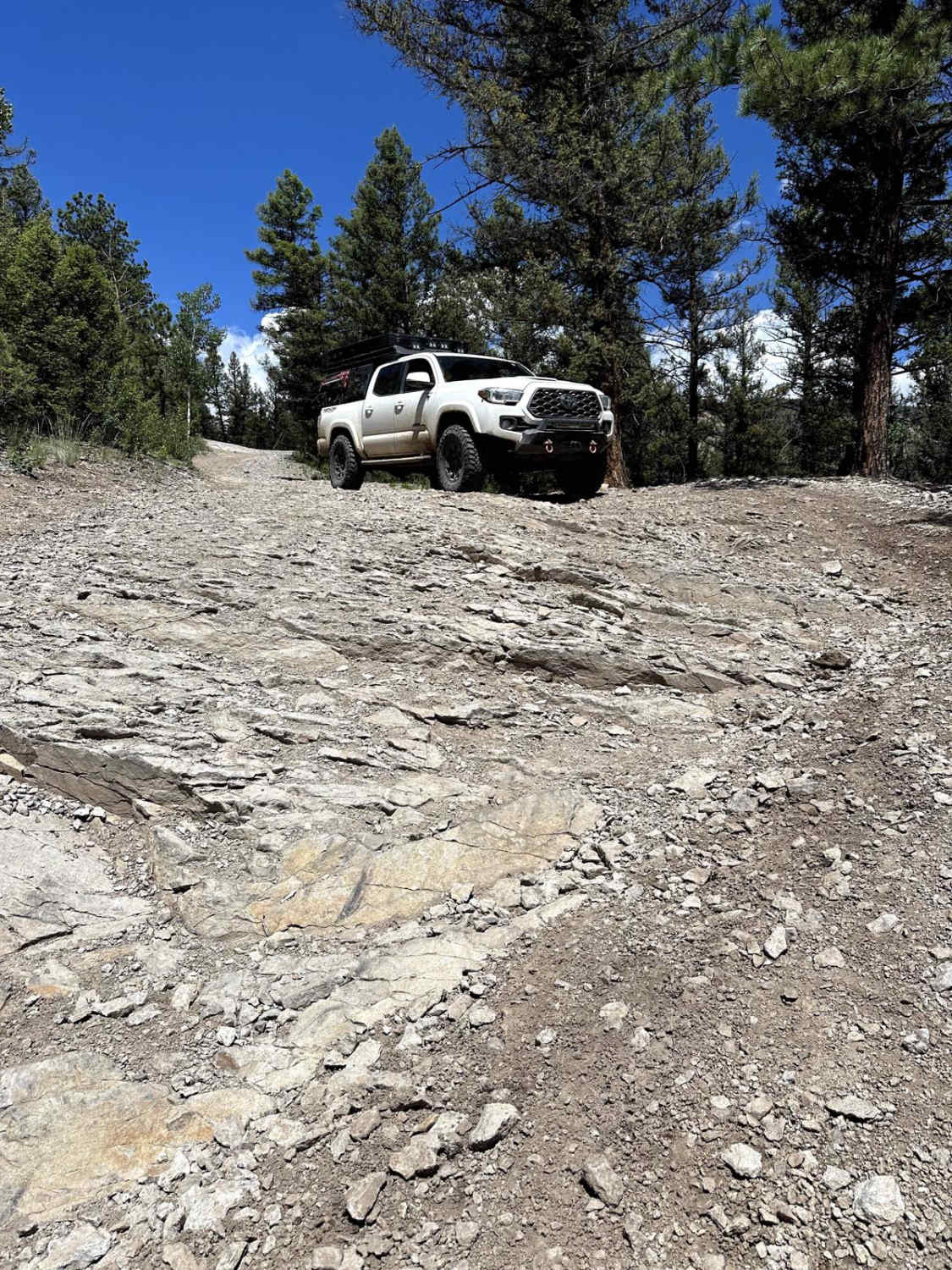
County Road 14 - Lake City
Total Miles
4.9
Tech Rating
Easy
Best Time
Spring, Summer, Fall
Learn more about County Road 2 Connector - Silverton to Animas Forks and Engineer Pass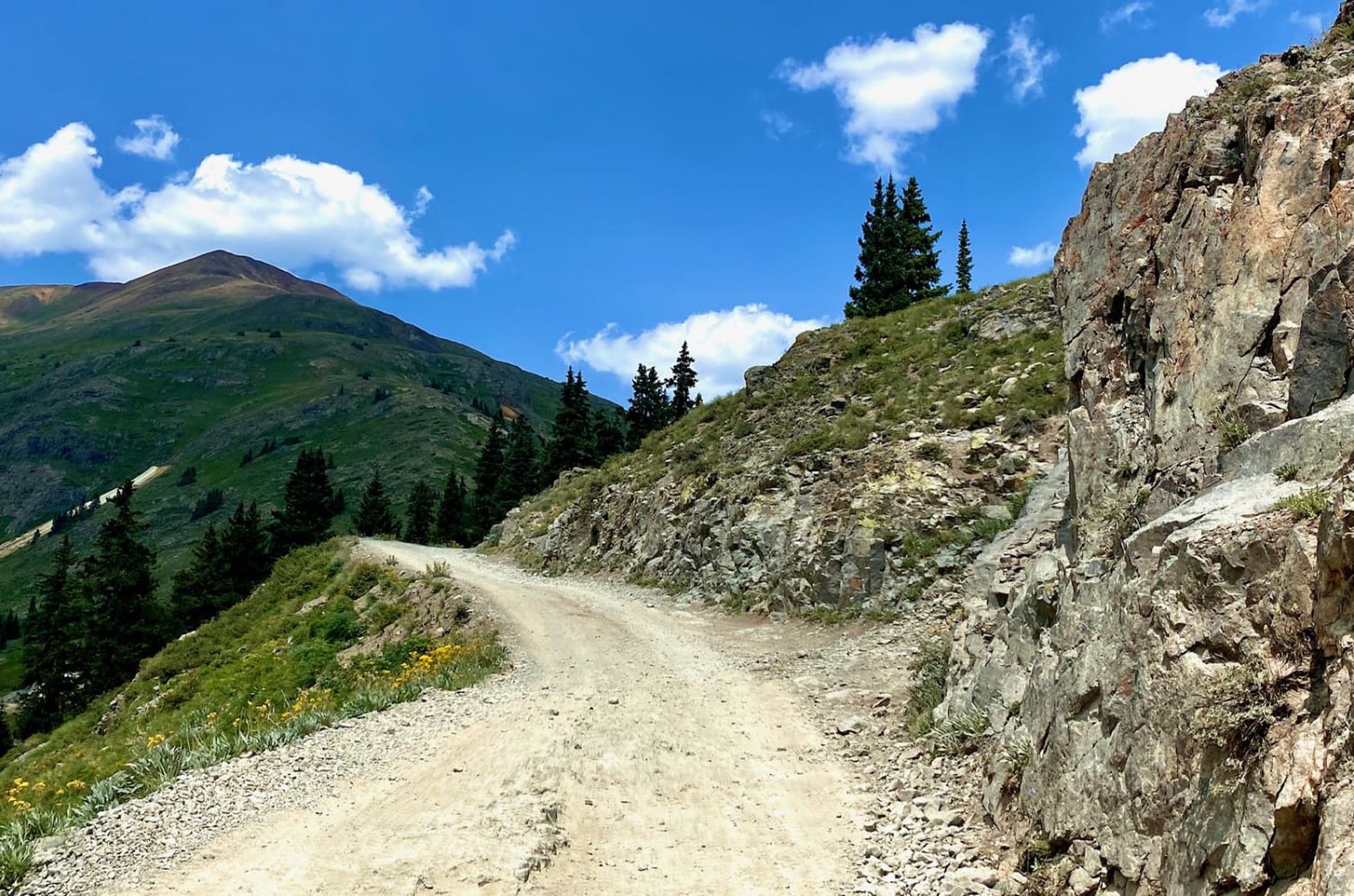
County Road 2 Connector - Silverton to Animas Forks and Engineer Pass
Total Miles
13.5
Tech Rating
Moderate
Best Time
Spring, Summer, Fall
Learn more about County Road 68J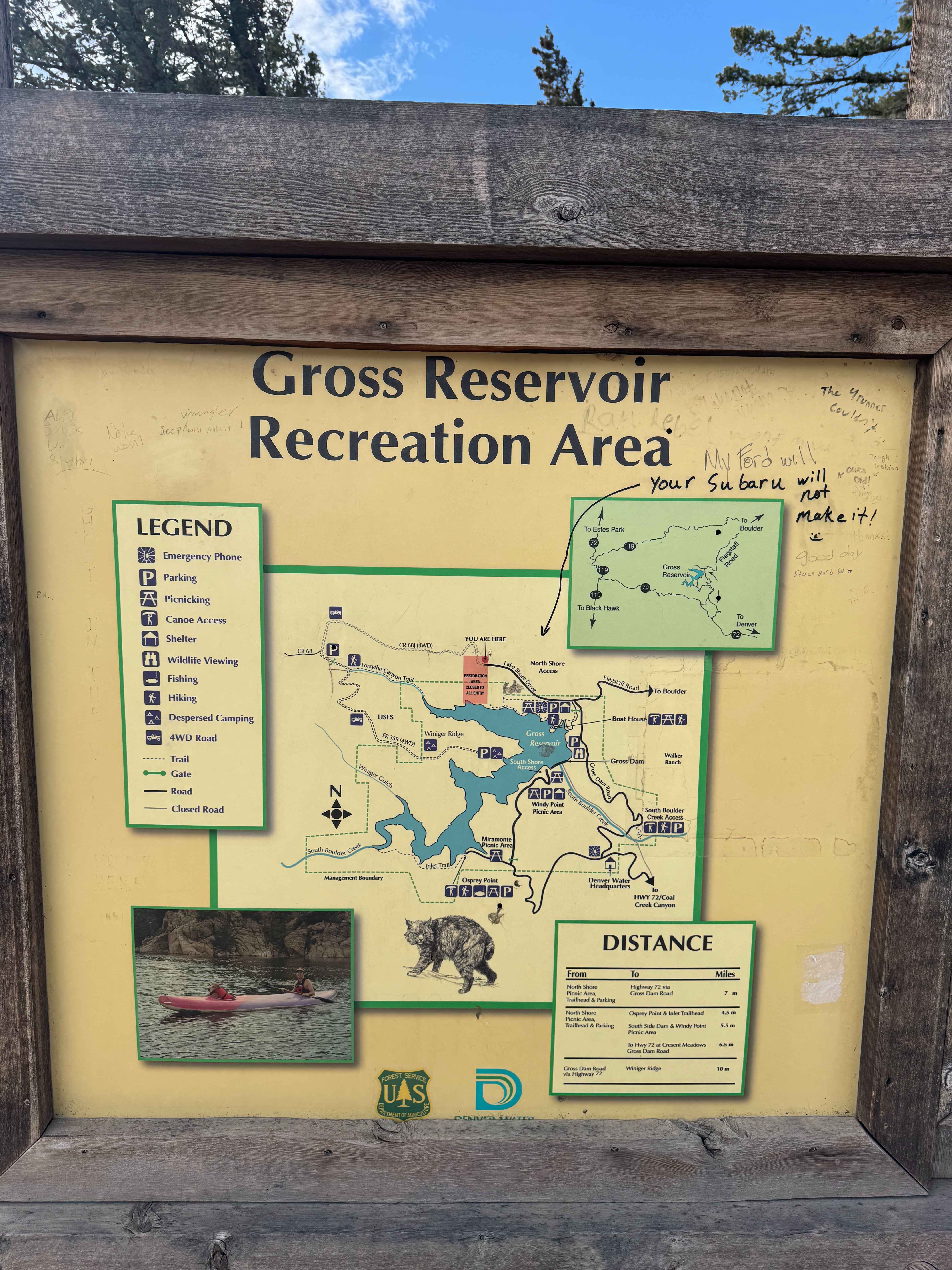
County Road 68J
Total Miles
2.1
Tech Rating
Moderate
Best Time
Spring, Summer, Fall
Learn more about County Road F6
County Road F6
Total Miles
4.6
Tech Rating
Easy
Best Time
Spring, Summer, Fall, Winter
ATV trails in Colorado

Learn more about 16 Road, Coal Gulch
16 Road, Coal Gulch
Total Miles
14.1
Tech Rating
Easy
Best Time
Spring, Fall


UTV/side-by-side trails in Colorado
Learn more about 16 Road, Coal Gulch
16 Road, Coal Gulch
Total Miles
14.1
Tech Rating
Easy
Best Time
Spring, Fall

The onX Offroad Difference
onX Offroad combines trail photos, descriptions, difficulty ratings, width restrictions, seasonality, and more in a user-friendly interface. Available on all devices, with offline access and full compatibility with CarPlay and Android Auto. Discover what you’re missing today!