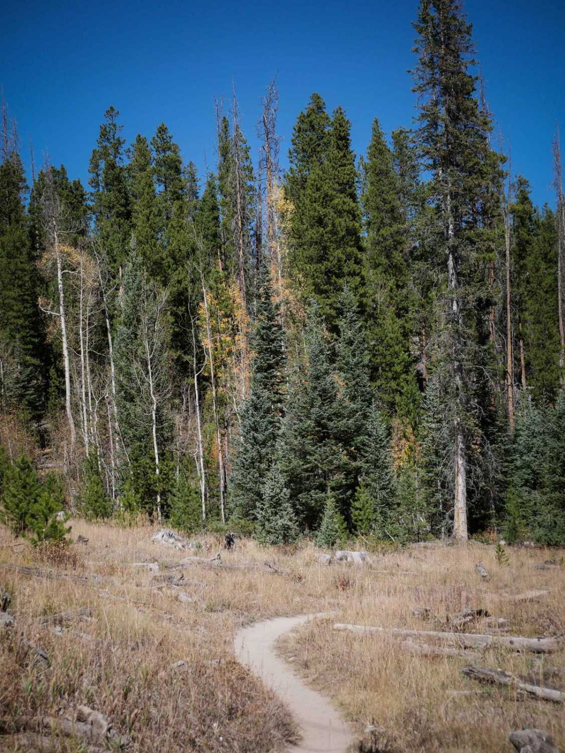
Off-Road Trails in Colorado
Discover off-road trails in Colorado
Learn more about Dirty Sock 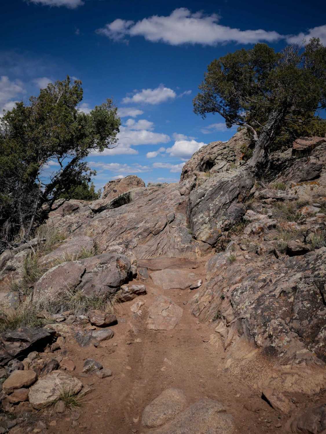
Dirty Sock
Total Miles
1.1
Tech Rating
Moderate
Best Time
Spring, Summer, Fall
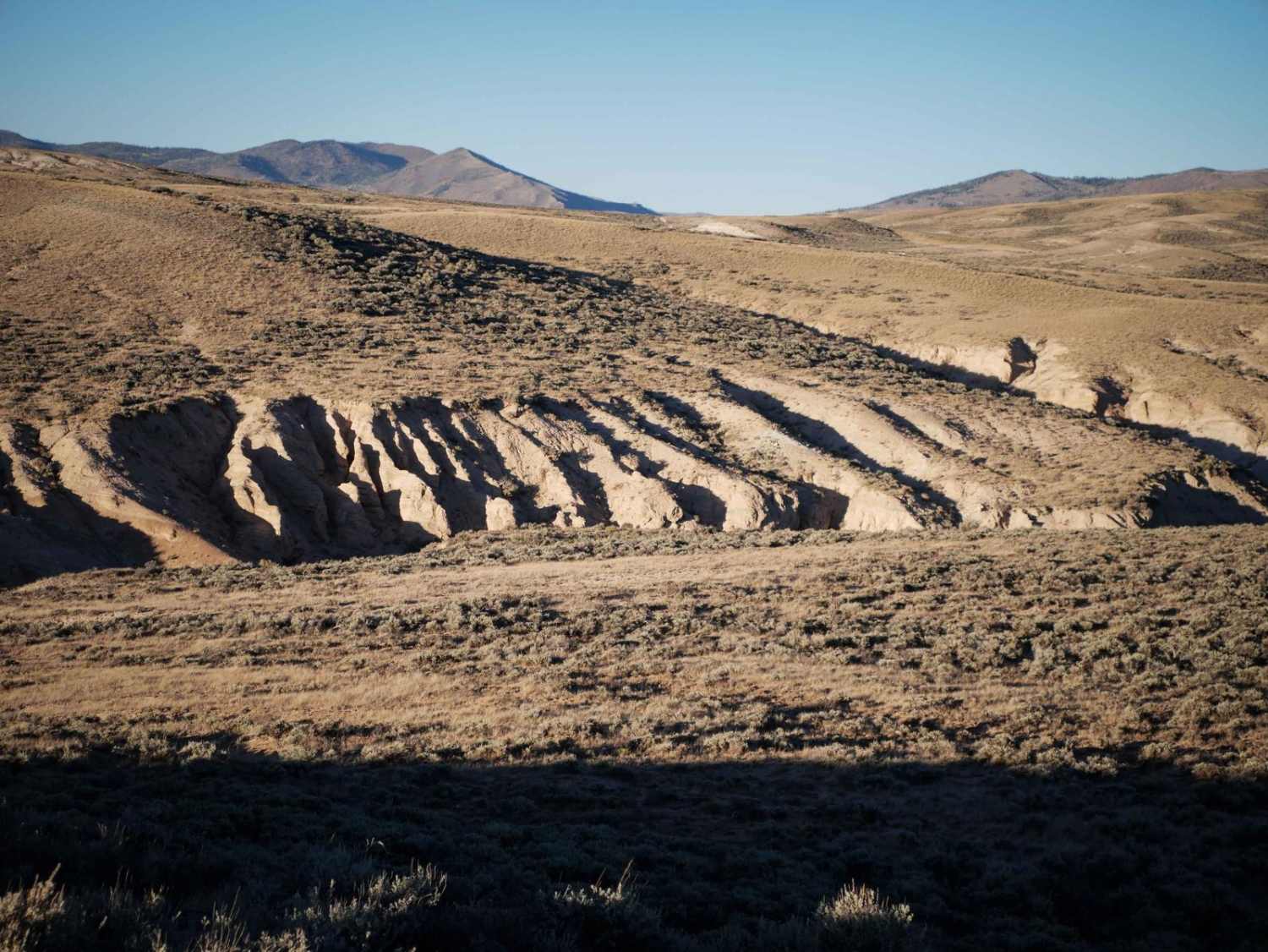
Learn more about Divide Cut-off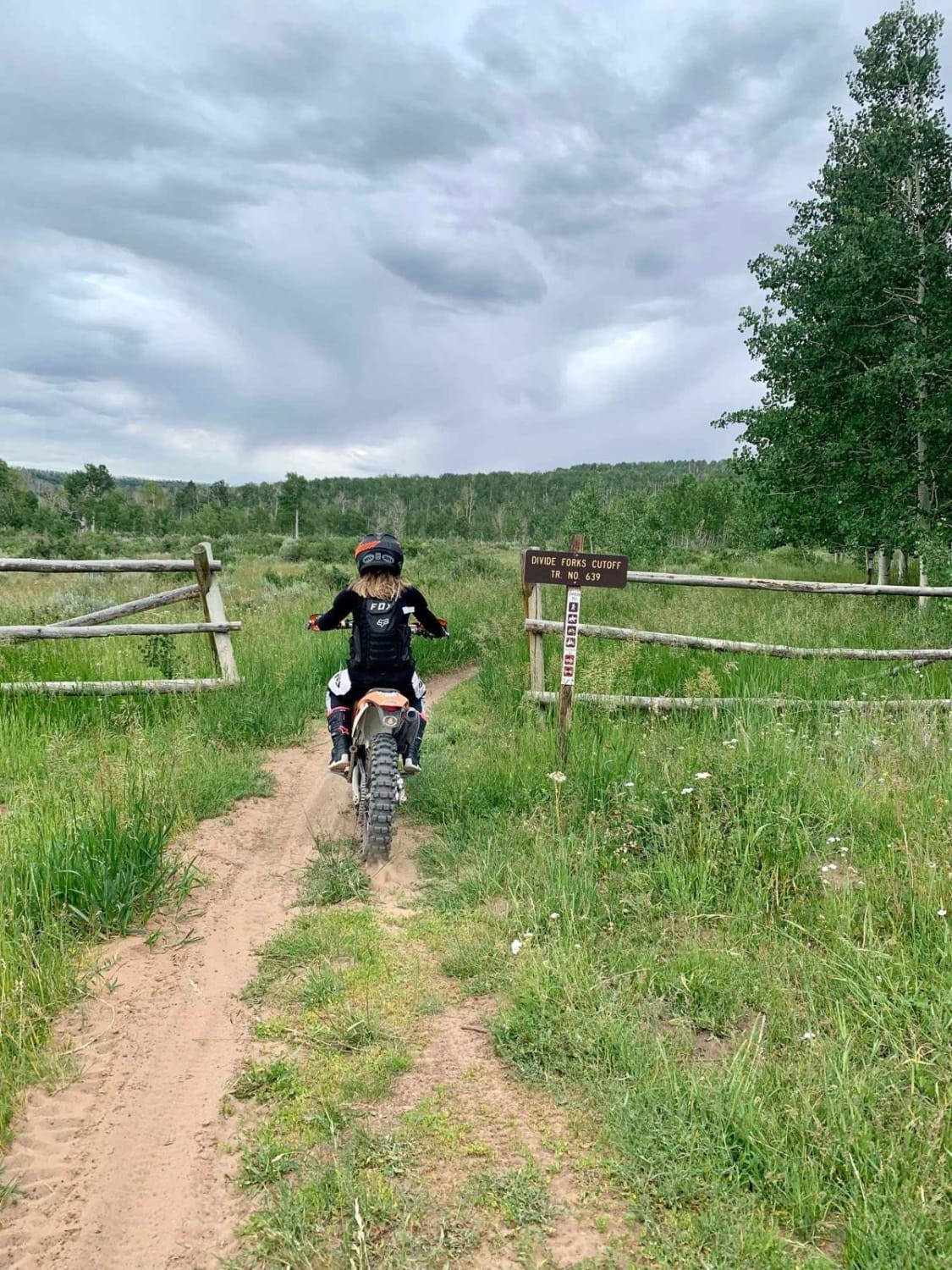
Divide Cut-off
Total Miles
3.2
Tech Rating
Easy
Best Time
Spring, Summer, Fall
Learn more about Doctor Park Trail 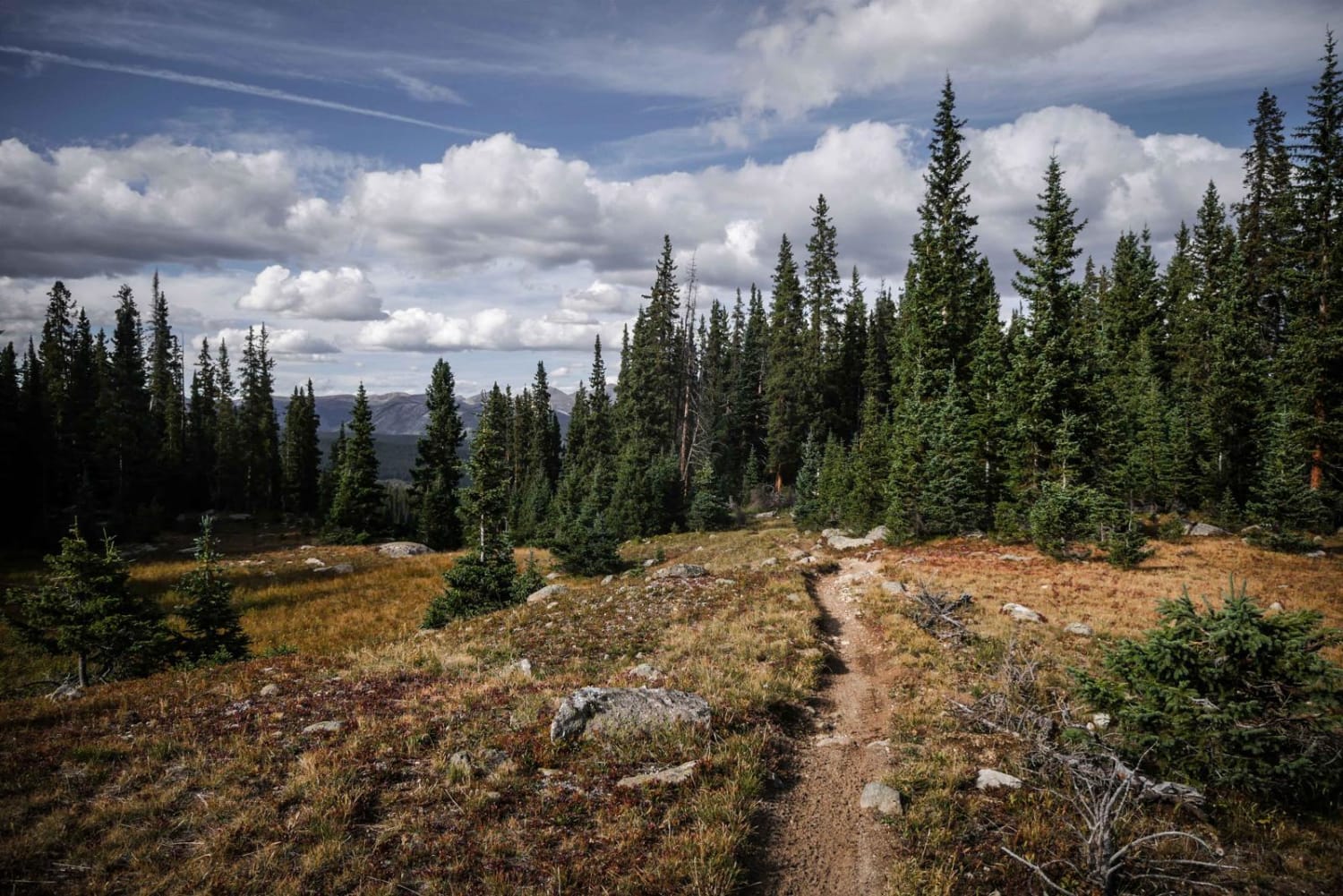
Doctor Park Trail
Total Miles
16.4
Tech Rating
Moderate
Best Time
Summer
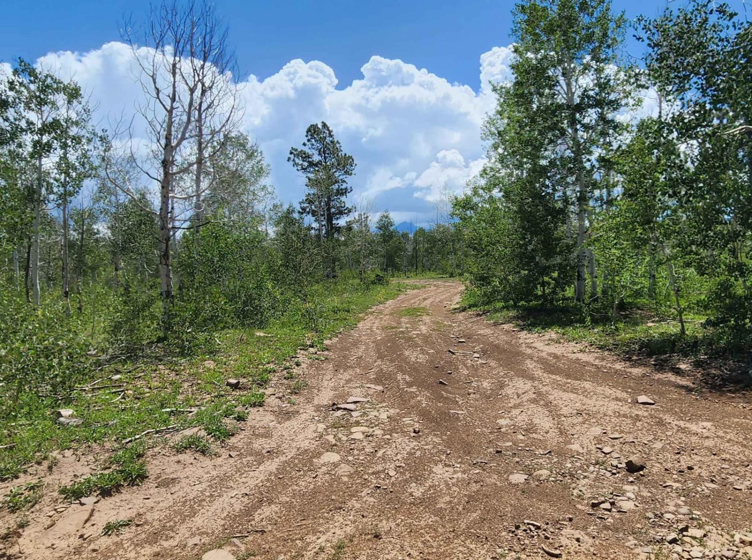
Learn more about Dog Hair Road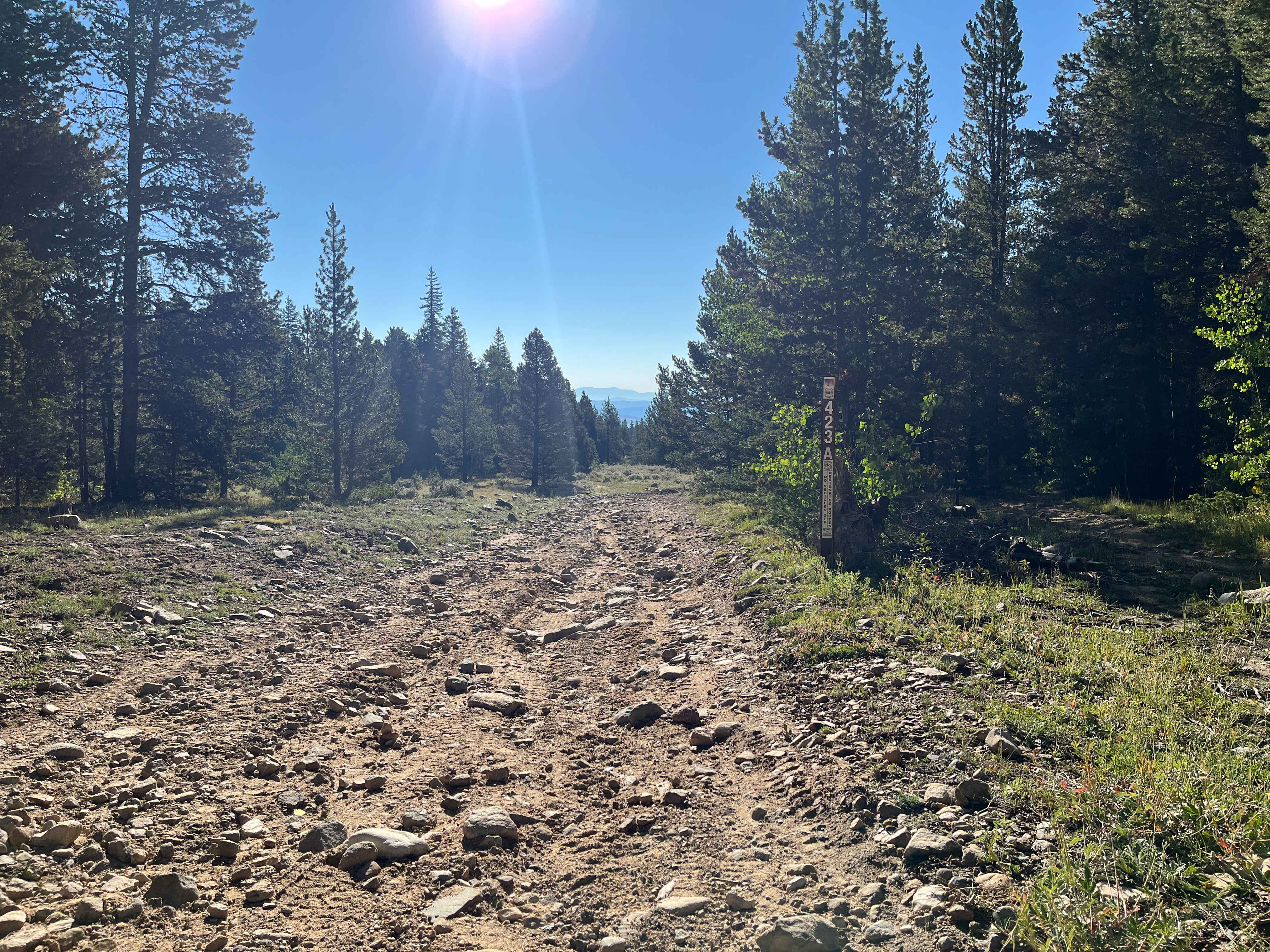
Dog Hair Road
Total Miles
1.2
Tech Rating
Easy
Best Time
Spring, Fall, Summer
Learn more about Dolly Varden Road (Windy Ridge)
Dolly Varden Road (Windy Ridge)
Total Miles
7.9
Tech Rating
Easy
Best Time
Summer
Learn more about Dotsero Crater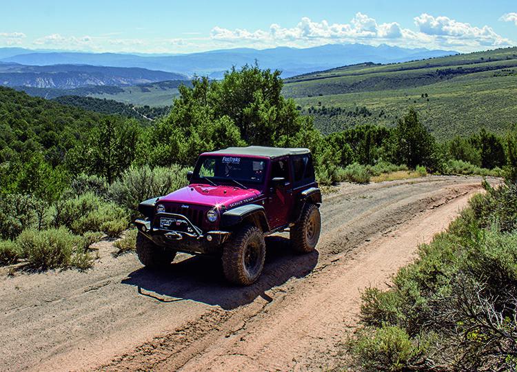
Dotsero Crater
Total Miles
12.9
Tech Rating
Moderate
Best Time
Summer, Fall
Learn more about Double Creek Loop
Double Creek Loop
Total Miles
10.0
Tech Rating
Moderate
Best Time
Spring, Summer, Fall
Learn more about Double Top Trail #405
Double Top Trail #405
Total Miles
12.9
Tech Rating
Difficult
Best Time
Summer, Fall, Spring
Learn more about Dry Canyon A Road
Dry Canyon A Road
Total Miles
2.2
Tech Rating
Easy
Best Time
Spring, Summer, Fall
Learn more about Dry Creek ATV Spur 
Dry Creek ATV Spur
Total Miles
1.2
Tech Rating
Easy
Best Time
Summer, Fall
Learn more about Dry Creek ATV Trail 
Dry Creek ATV Trail
Total Miles
3.2
Tech Rating
Easy
Best Time
Fall, Spring
ATV trails in Colorado

Learn more about 16 Road, Coal Gulch
16 Road, Coal Gulch
Total Miles
14.1
Tech Rating
Easy
Best Time
Spring, Fall


UTV/side-by-side trails in Colorado
Learn more about 16 Road, Coal Gulch
16 Road, Coal Gulch
Total Miles
14.1
Tech Rating
Easy
Best Time
Spring, Fall

The onX Offroad Difference
onX Offroad combines trail photos, descriptions, difficulty ratings, width restrictions, seasonality, and more in a user-friendly interface. Available on all devices, with offline access and full compatibility with CarPlay and Android Auto. Discover what you’re missing today!