Double Top Trail #405
Total Miles
12.9
Technical Rating
Best Time
Summer, Fall, Spring
Trail Type
Single Track
Accessible By
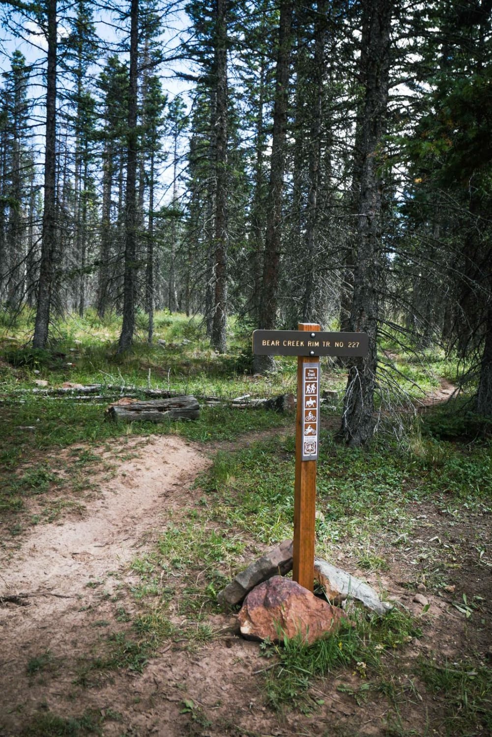
Trail Overview
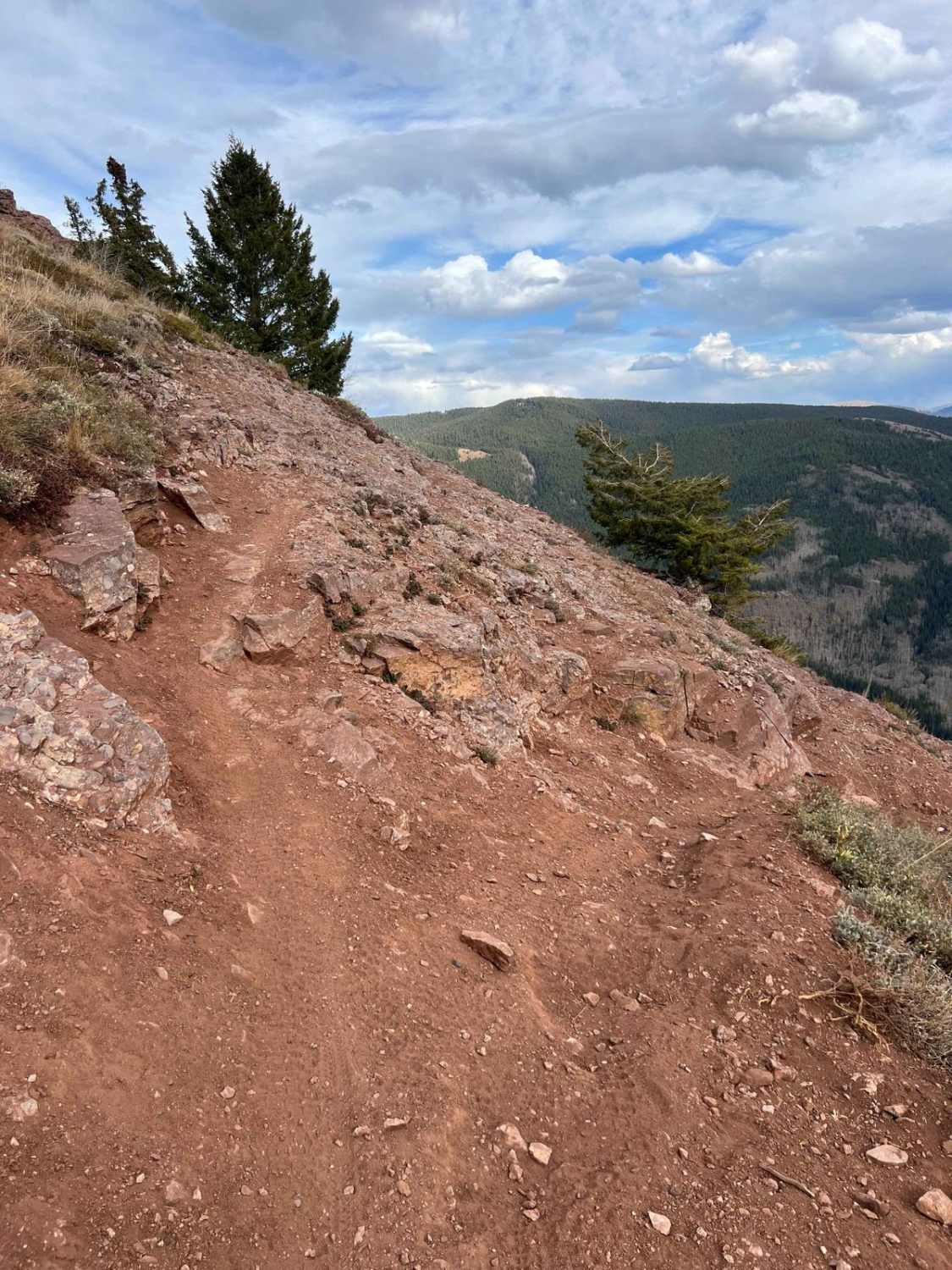
Double Top Trail #405 captures the spirit of high-country single-track riding in Colorado. Spanning 13 miles, this trail features a low point of 10,719 feet and a high point of 11,954 feet, with a total elevation gain of 3,392 feet and a loss of 2,743 feet. Riders can access the trail from either the Crested Butte side via Farris Road #7736 and the Brush Creek Trail #400, or from the Taylor Park side through Crystal Peak Trail #9583, also known as Star Pass. While starting from the Taylor Park side may offer a slightly more manageable experience, it still presents a significant challenge. Double Top showcases the diverse terrain the Rocky Mountains are known for, including flowy single track, rock gardens, steep rock step-ups, embedded rocks, rocky hill climbs, braided lines, ruts, and stream crossings--all set against some of the most breathtaking vistas Colorado has to offer. Moreover, Double Top acts as a gateway to several world-class single-track trails that diverge from it, such as Ferris Creek Bypass Trail #9409.5A, Walrod Gulch Trail #9412, Block and Tackle #9645, Hunters Creek Trail #9410, and Waterfall Creek Trail #9555. Whether you're in search of an exhilarating adventure or stunning scenery, this trail and its connections promise an unforgettable.**Caution: Challenging Sections on Double Top Trail**The Double Top Trail features two particularly difficult sections that require extra caution. A fall to the right in these areas could lead to severe consequences, potentially necessitating helicopter assistance to retrieve your bike. The first challenging section is located approximately 3.5 miles from the start of Double Top, near the intersection with Ferris Creek Trail. Riders should focus on staying high to the left and gradually working their way down from there. The second difficult section is situated around 5.4 miles from the same trailhead intersection. It is crucial to emphasize: **DO NOT FALL RIGHT HERE.**Riders should approach these sections with care and awareness to ensure a safe and enjoyable experience on the trail.
Photos of Double Top Trail #405

Difficulty
**Caution: Challenging Sections on Double Top Trail**The Double Top Trail features two particularly difficult sections that require extra caution. A fall to the right in these areas could lead to severe consequences, potentially necessitating helicopter assistance to retrieve your bike. The first challenging section is located approximately 3.5 miles from the start of Double Top Trail, from the intersection with Ferris Creek Trail. Riders should focus on staying high to the left and gradually working their way down from there. The second difficult section is situated around 5.4 miles from the same trailhead intersection. It is crucial to emphasize: **DO NOT FALL RIGHT HERE.**Riders should approach these sections with care and awareness to ensure a safe and enjoyable experience on the trail.
Status Reports
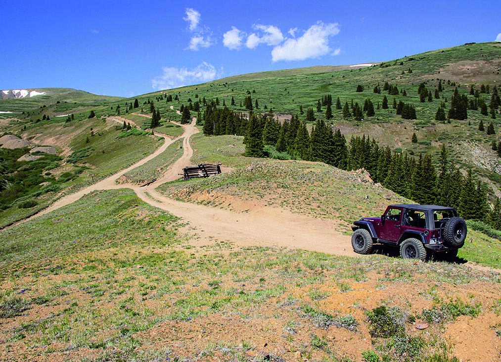
Double Top Trail #405 can be accessed by the following ride types:
- Dirt Bike
Double Top Trail #405 Map
Popular Trails

Monument Mountain - 590
The onX Offroad Difference
onX Offroad combines trail photos, descriptions, difficulty ratings, width restrictions, seasonality, and more in a user-friendly interface. Available on all devices, with offline access and full compatibility with CarPlay and Android Auto. Discover what you’re missing today!