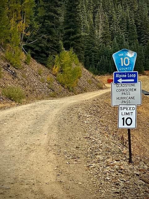
County Road 10 to Hurricane Pass
Total Miles
1.4
Technical Rating
Best Time
Spring, Summer, Fall
Trail Type
Full-Width Road
Accessible By
Trail Overview
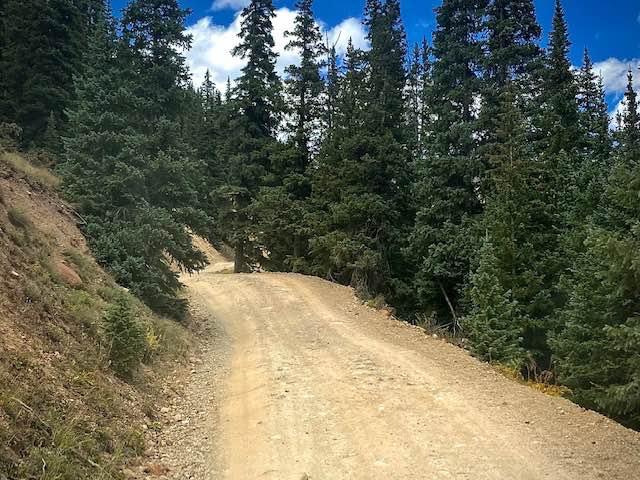
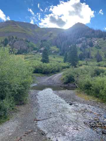
County Road 10 is a short narrow trail from the end of City Road 110 and the Sunnyside Mine ruins to Hurricane Pass/Corkscrew Gulch. It is an alternate way to get to the Alpine Loop over County Rd 3 which leads to Animas Forks and Engineer Pass. The trail is narrow in places which may make it difficult to pass an oncoming off-roader so take note of places for passing as you traverse, otherwise, it's easygoing.
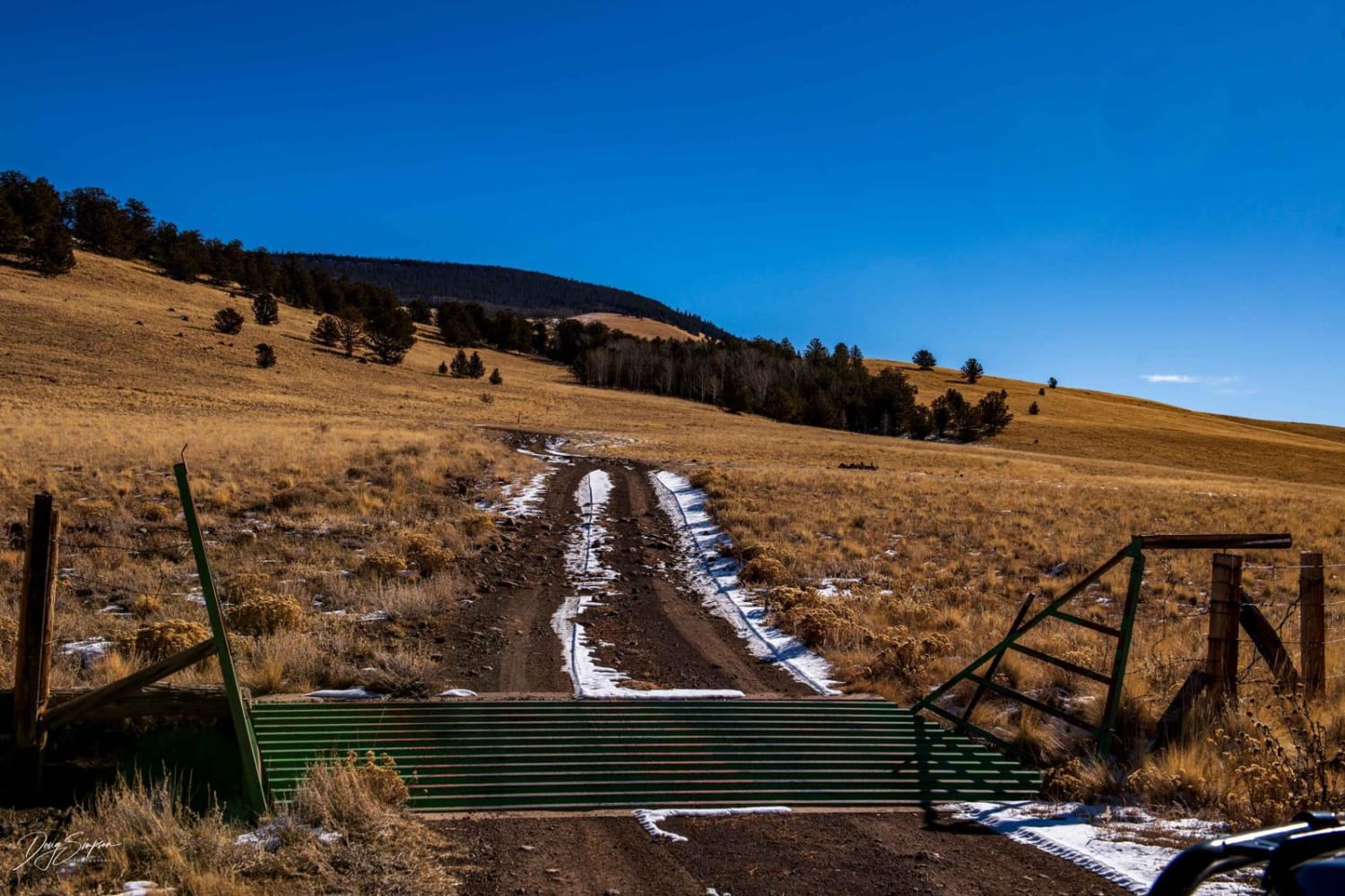
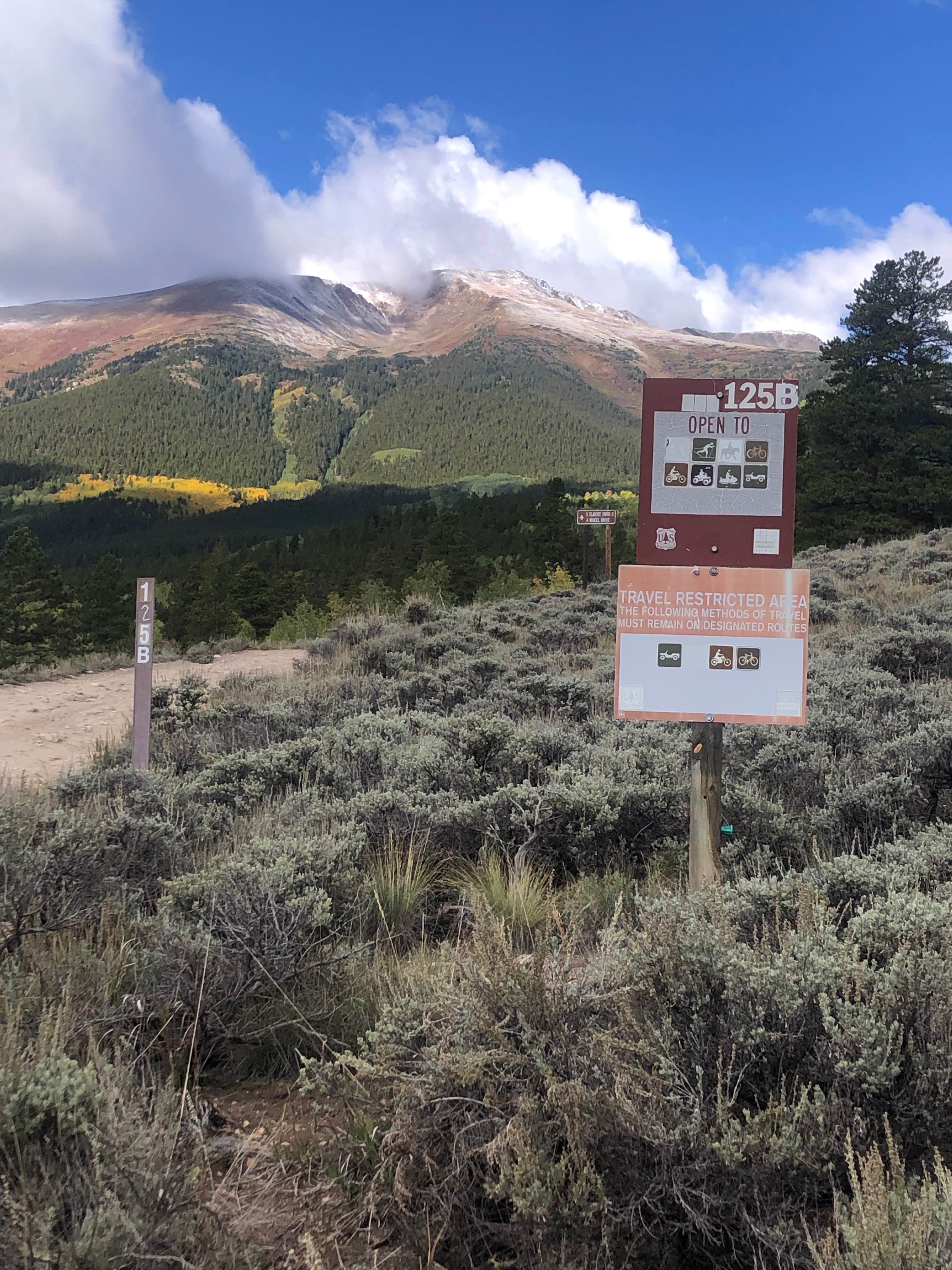
Photos of County Road 10 to Hurricane Pass
Difficulty
Roast is graded part of the year. It is easy to drive.
Status Reports
County Road 10 to Hurricane Pass can be accessed by the following ride types:
- High-Clearance 4x4
- SUV
- SxS (60")
- ATV (50")
- Dirt Bike
County Road 10 to Hurricane Pass Map
Popular Trails
Beaver Rim F Road
Cunningham Gulch
39 Mile Mountain Part 2
Mount Elbert East Ridge
The onX Offroad Difference
onX Offroad combines trail photos, descriptions, difficulty ratings, width restrictions, seasonality, and more in a user-friendly interface. Available on all devices, with offline access and full compatibility with CarPlay and Android Auto. Discover what you’re missing today!