Coffee Pot Road
Total Miles
28.1
Technical Rating
Best Time
Summer, Fall
Trail Type
Full-Width Road
Accessible By
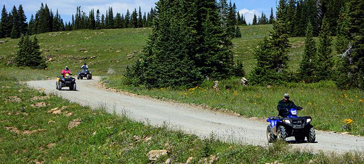
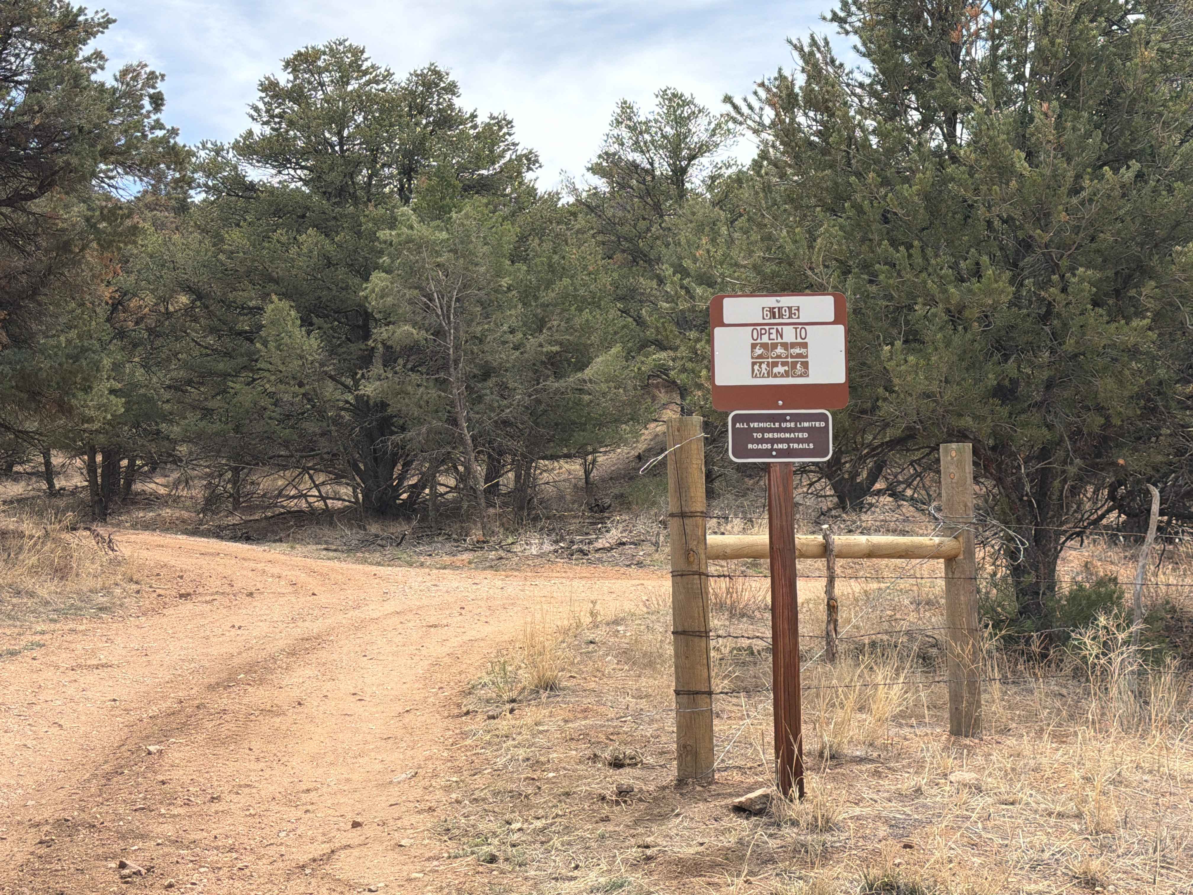
Trail Overview
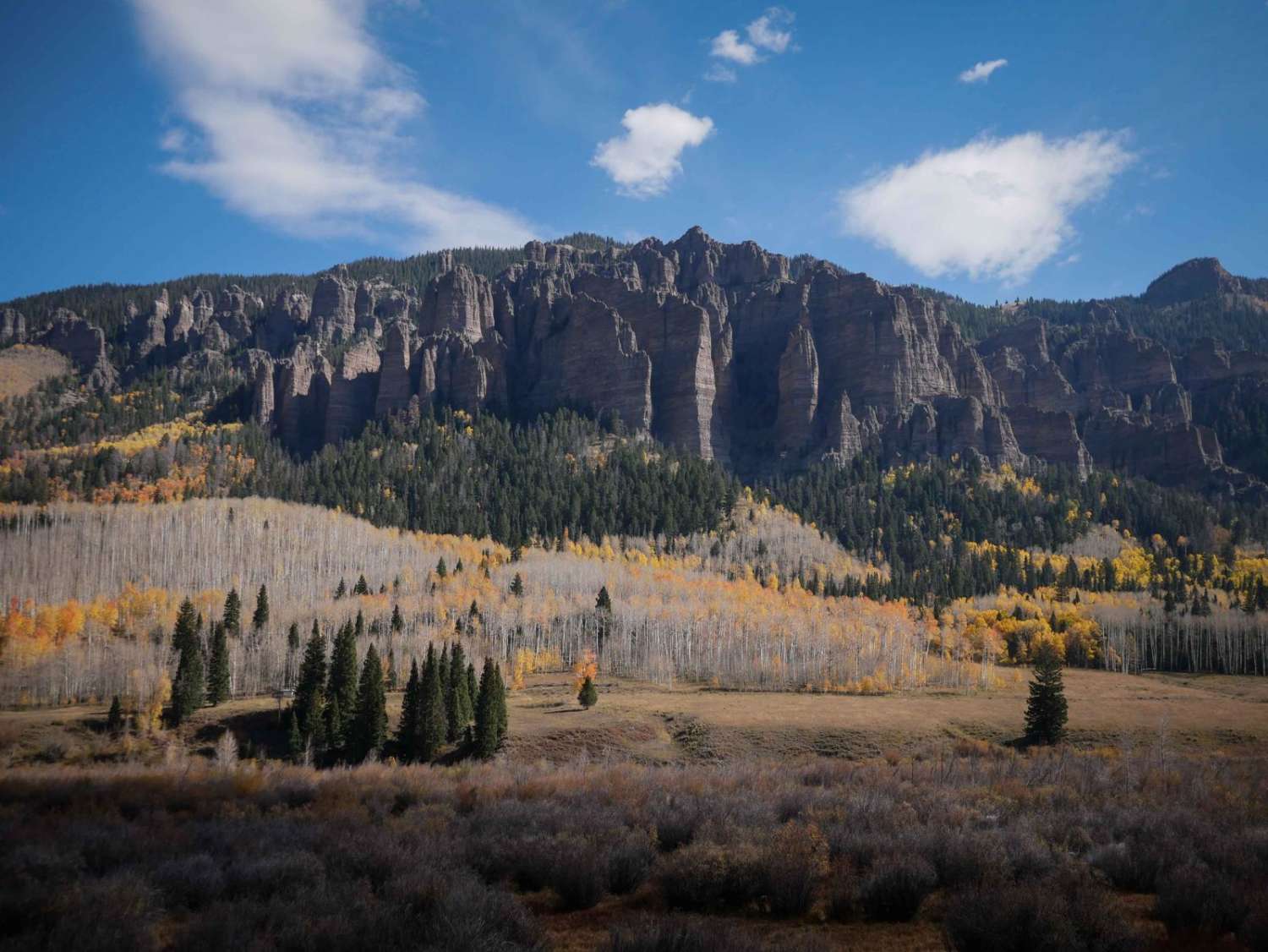
Start your ride with beautiful views of Eagle Valley and the Colorado River and continue into White River National Forest. Dispersed camping allowed inside the forest, and there are a few pay campgrounds. Unlicensed vehicles allowed on forest roads, and there are lots of legal roads to explore. Use your onX Offroad app to find open trails. The main road is open mid-April through mid-November.
Photos of Coffee Pot Road
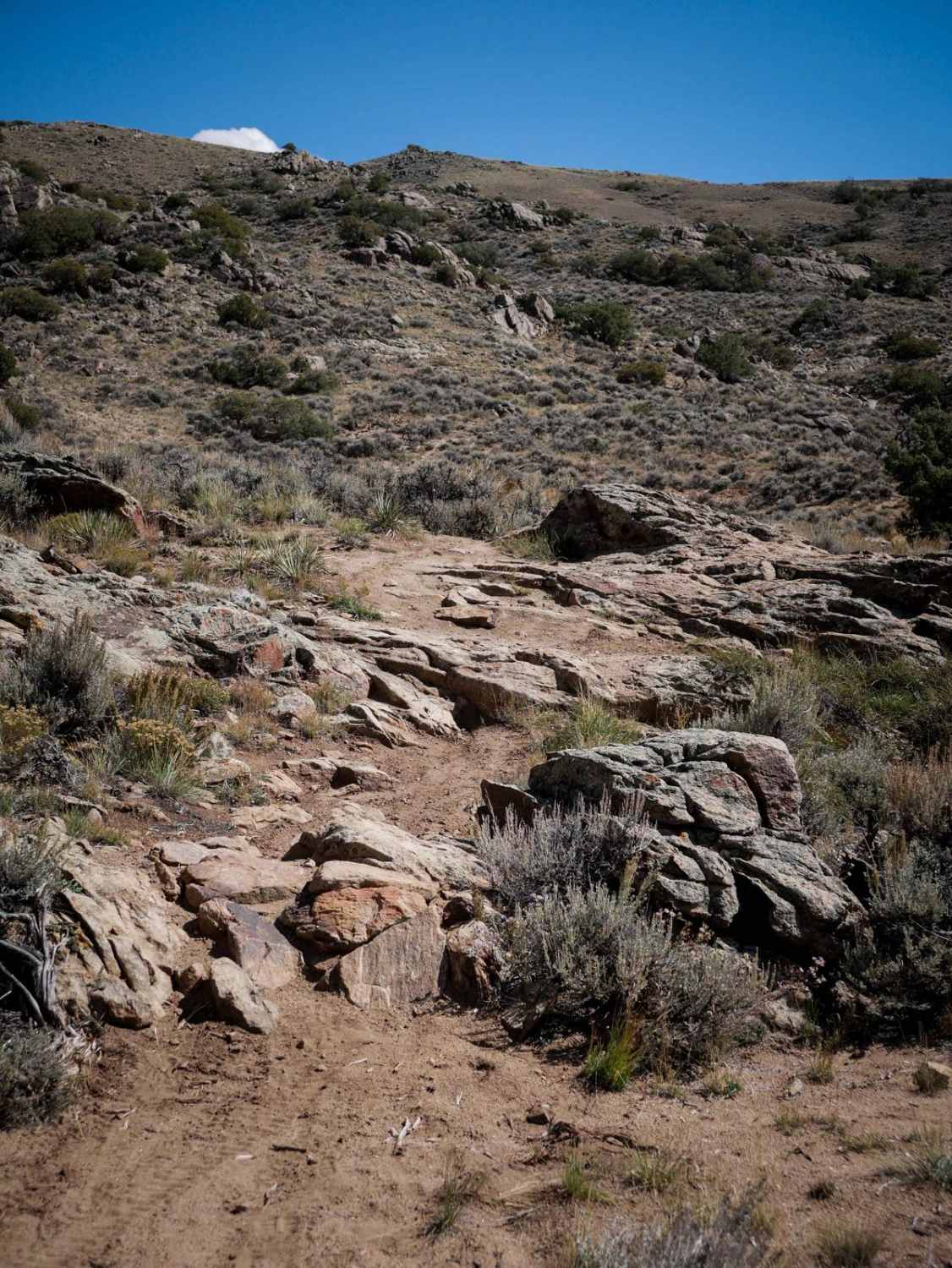
Difficulty
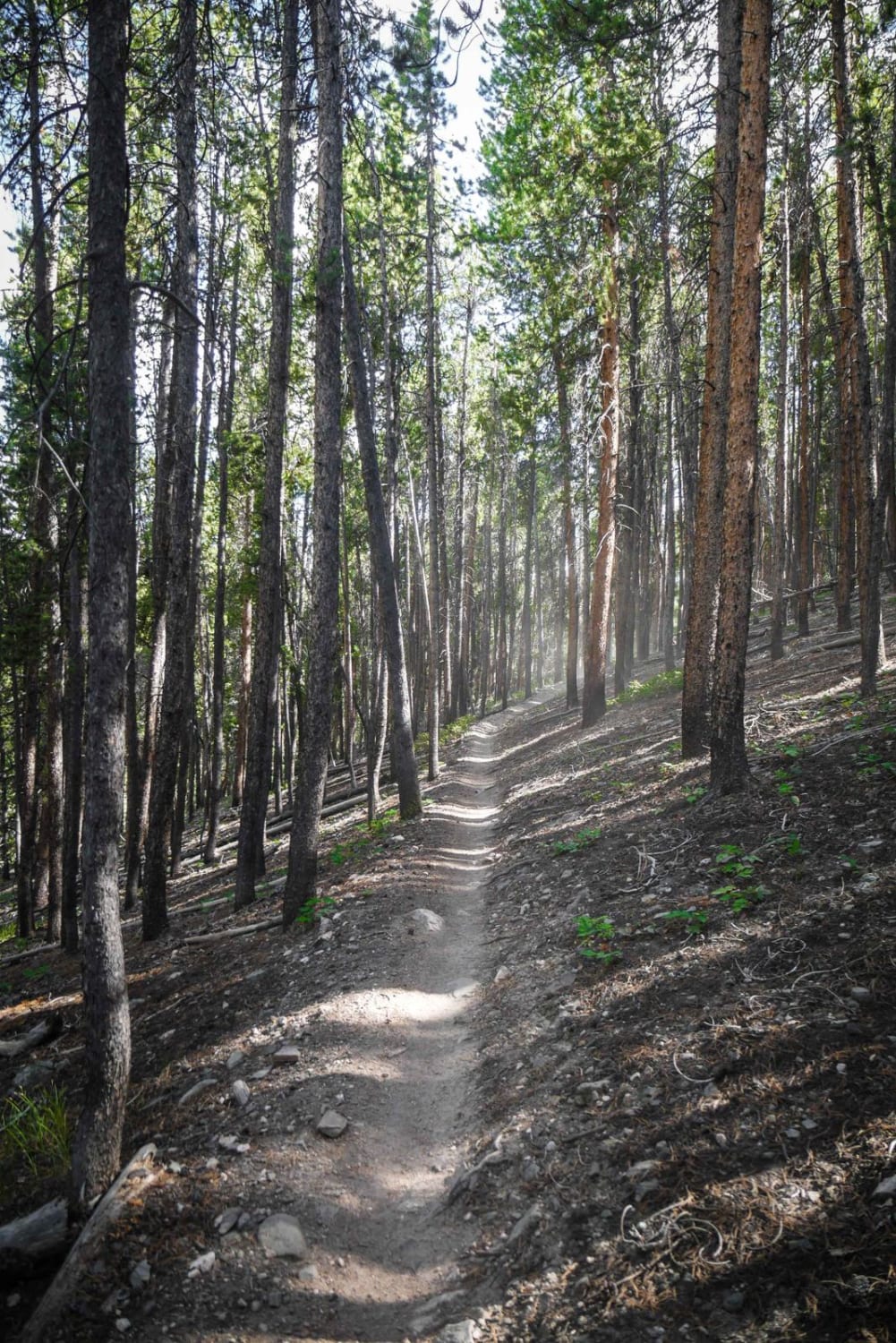
Easy. Smooth maintained gravel until you near the top, where it is slightly rougher. Many blind curves with dangerous dropoffs. Drive defensively at all times. Approaching dust clouds indicate oncoming vehicles. Road is not plowed when it snows.
History
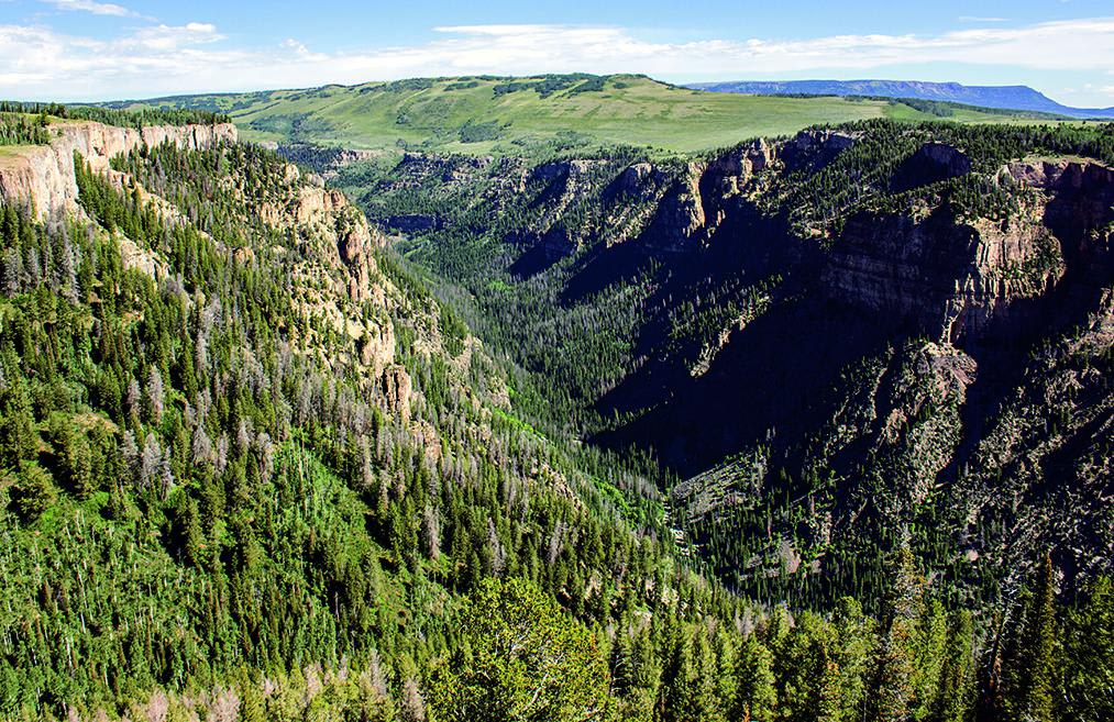
We recommend the side trip to Deep Creek Overlook. The creek has carved a steepwalled canyon 2,300 feet deep. Geologists estimate the process took 350 million years.
Status Reports
Coffee Pot Road can be accessed by the following ride types:
- High-Clearance 4x4
- SUV
- SxS (60")
- ATV (50")
- Dirt Bike
Coffee Pot Road Map
Popular Trails
Quakey Mountain
The onX Offroad Difference
onX Offroad combines trail photos, descriptions, difficulty ratings, width restrictions, seasonality, and more in a user-friendly interface. Available on all devices, with offline access and full compatibility with CarPlay and Android Auto. Discover what you’re missing today!