Cottonwood Pass
Total Miles
9.7
Technical Rating
Best Time
Spring, Summer, Fall
Trail Type
Full-Width Road
Accessible By
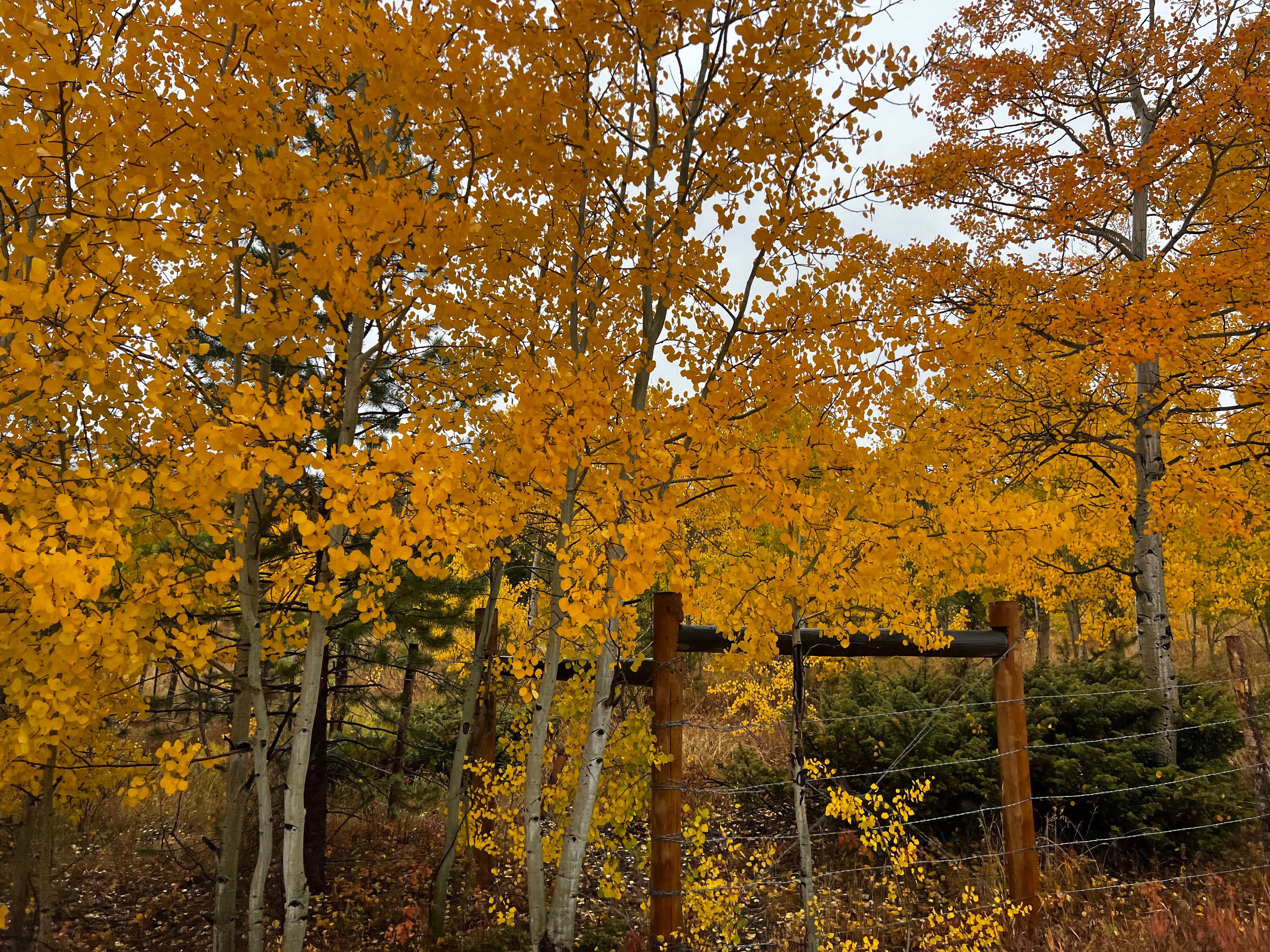
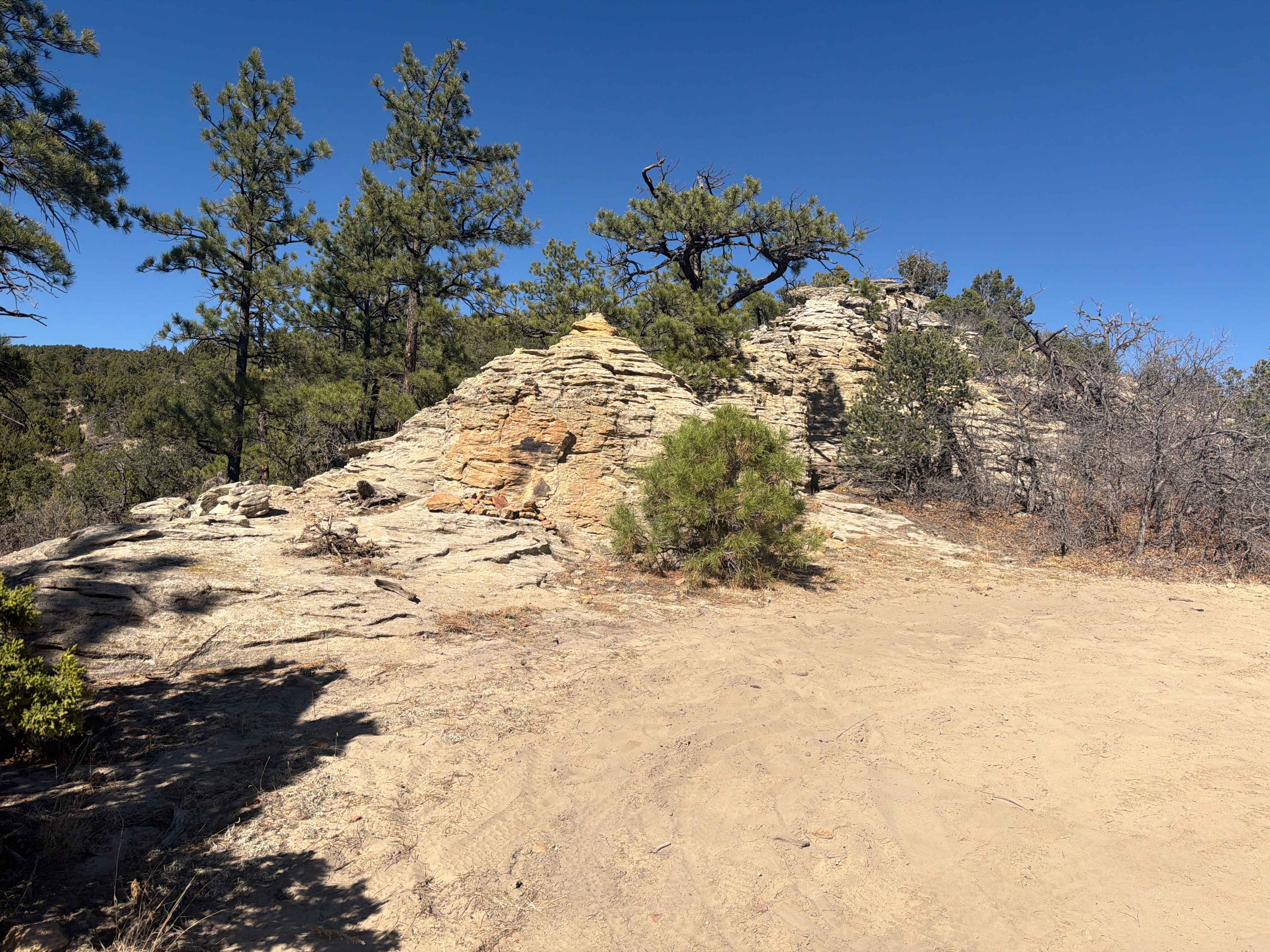
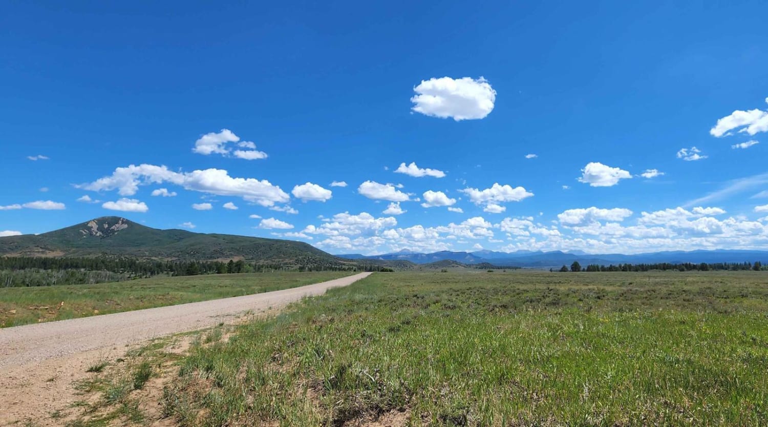
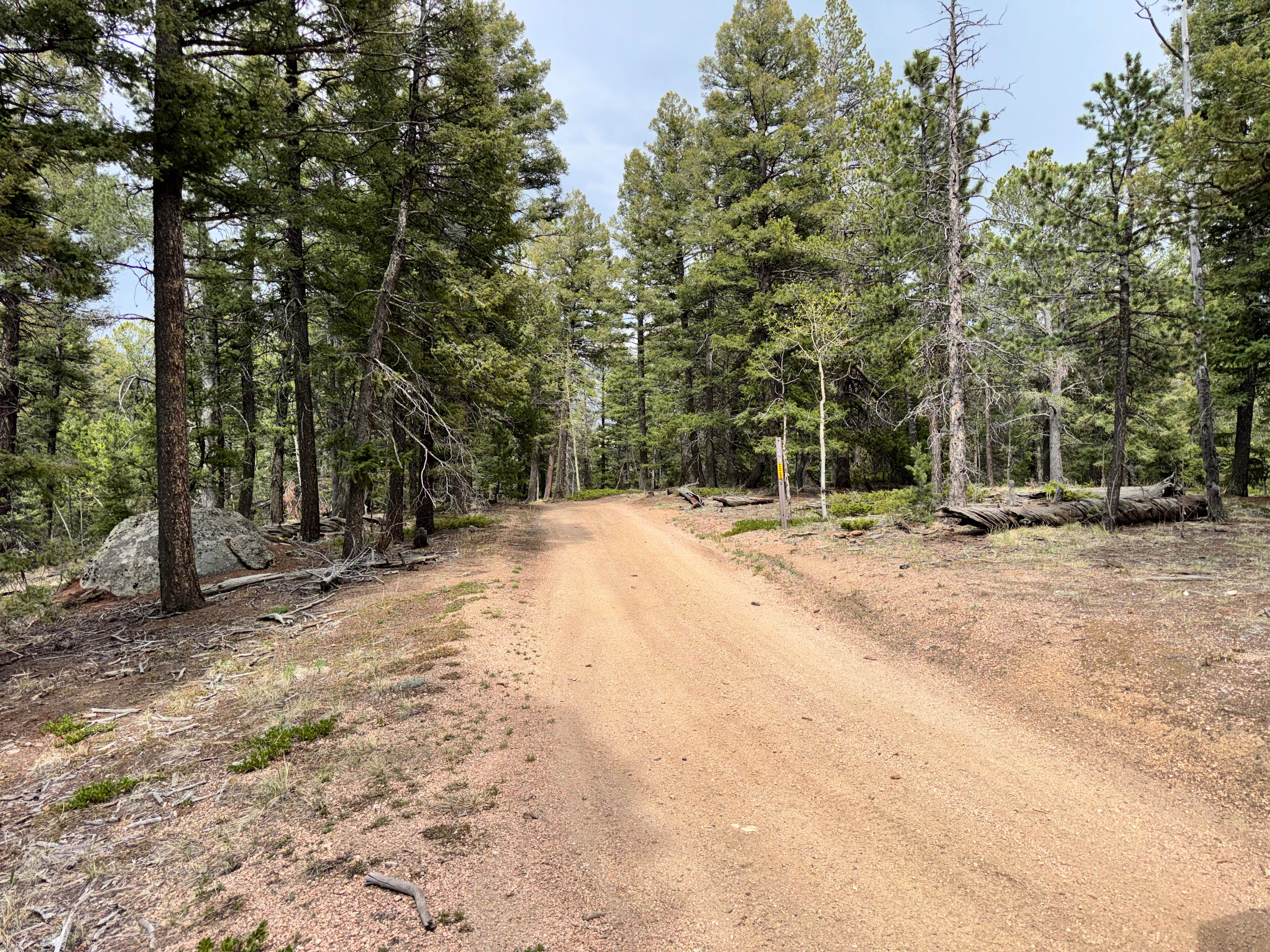
Trail Overview
This is a gravel road that was the earliest route into Sulphur Springs from the East. Surrounded by established ranch land and scattered aspen and pine trees. Also known as County Road 55. The summit is at 8,904 feet. Perfect for fall peaking. There are some side trails (Big Meadows road) that are accessible from Cottonwood Pass.
Photos of Cottonwood Pass

Difficulty
This trail has very few obstacles and is generally easy to navigate, though inclement weather can introduce minor hazards.
History
This trail was established in 1861 for a stagecoach route.
Status Reports
Cottonwood Pass can be accessed by the following ride types:
- High-Clearance 4x4
- SUV
- Dirt Bike
Cottonwood Pass Map
Popular Trails

Meadow Divide Road- FSR 325
County Line Rd (FS324B)
The onX Offroad Difference
onX Offroad combines trail photos, descriptions, difficulty ratings, width restrictions, seasonality, and more in a user-friendly interface. Available on all devices, with offline access and full compatibility with CarPlay and Android Auto. Discover what you’re missing today!