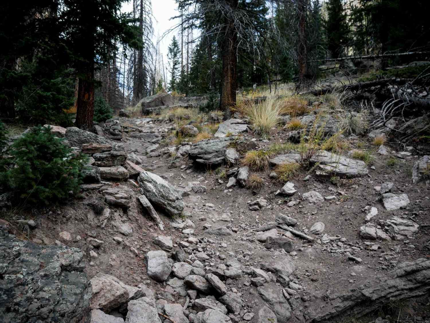
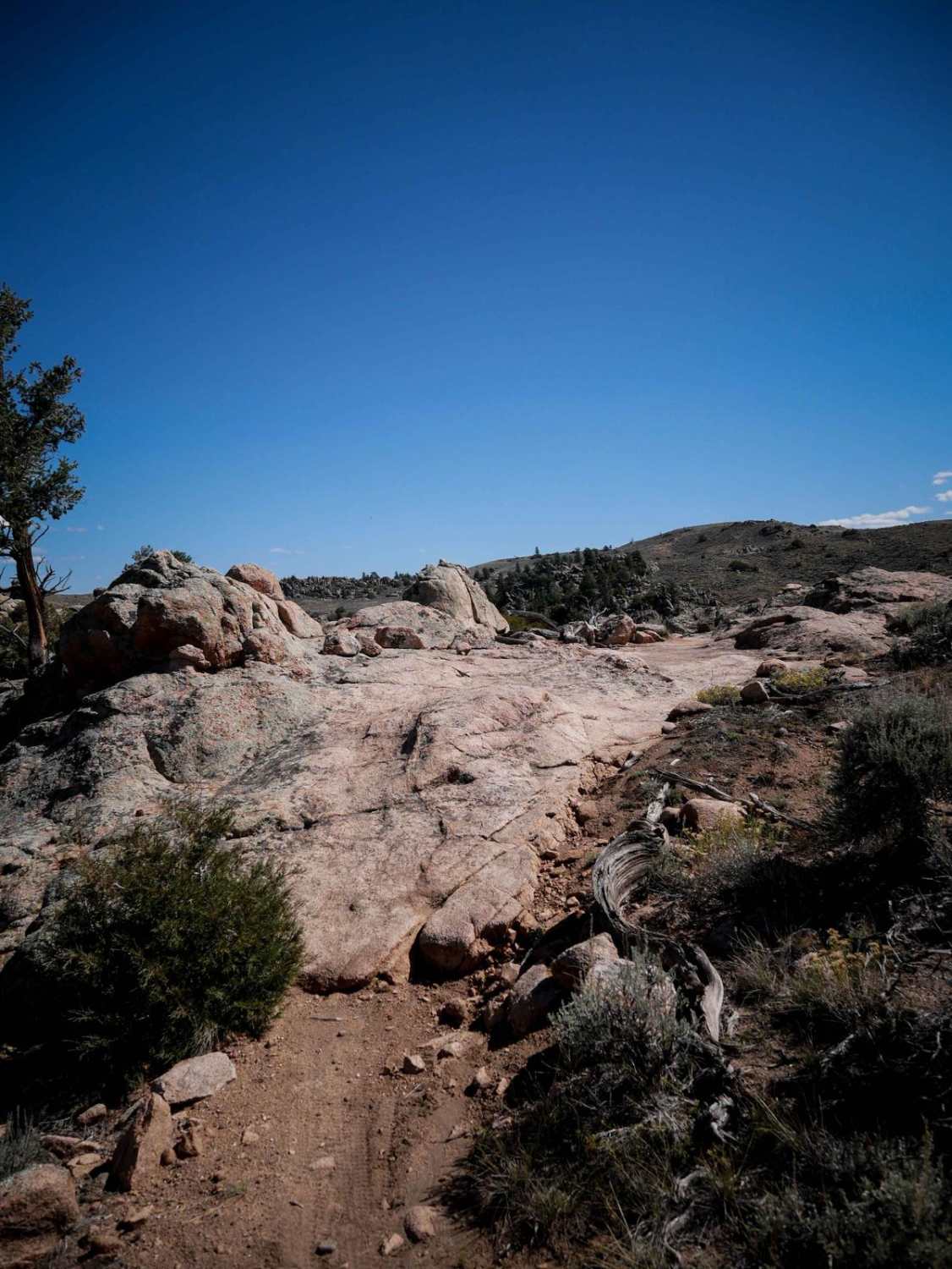
Off-Road Trails in Colorado
Discover off-road trails in Colorado
Learn more about Carson Road/Wagner Gulch Road
Carson Road/Wagner Gulch Road
Total Miles
4.9
Tech Rating
Moderate
Best Time
Summer
Learn more about Cascade Divide Road
Cascade Divide Road
Total Miles
10.6
Tech Rating
Easy
Best Time
Spring, Summer, Fall
Learn more about Castle Rock Gulch Road (188)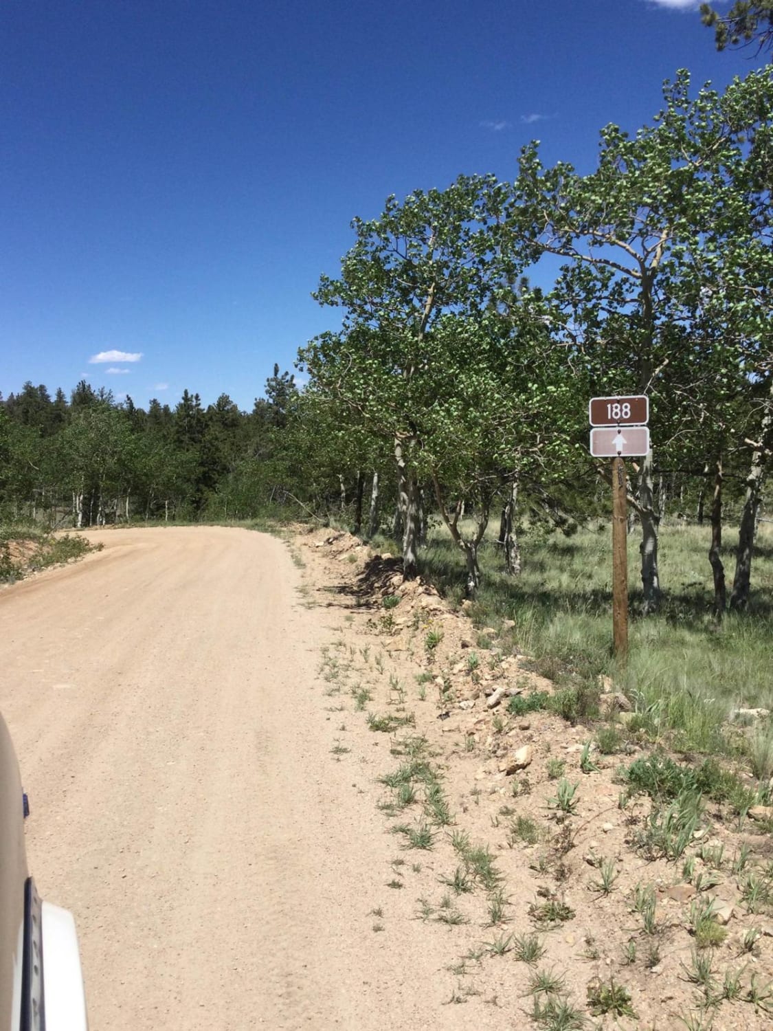
Castle Rock Gulch Road (188)
Total Miles
5.3
Tech Rating
Easy
Best Time
Spring, Summer, Fall, Winter
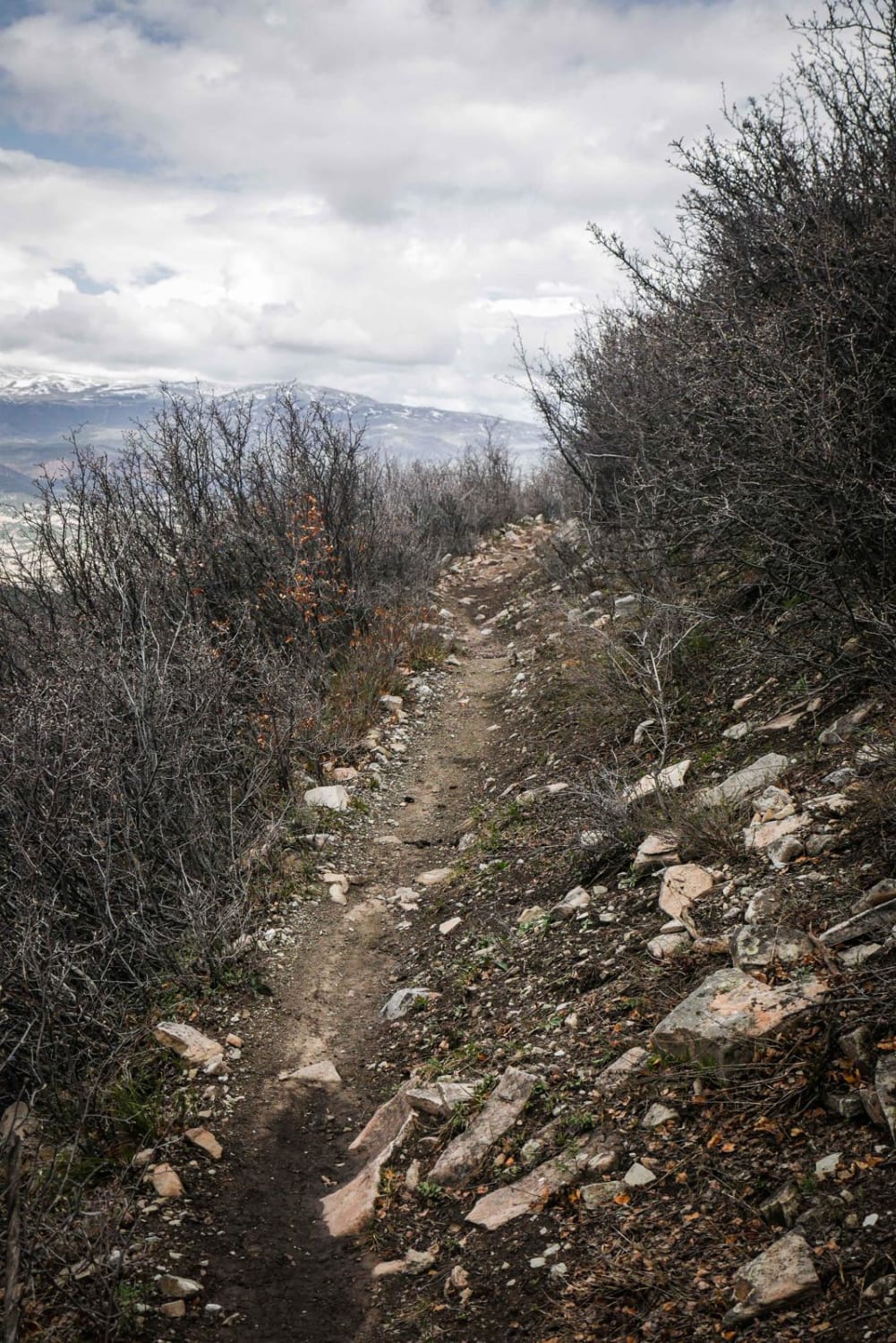
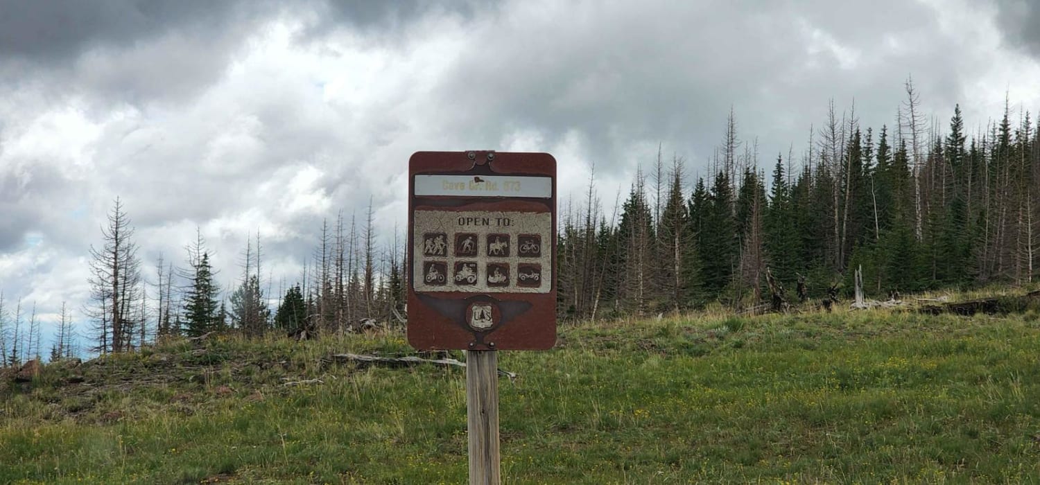
Learn more about Cave Creek Road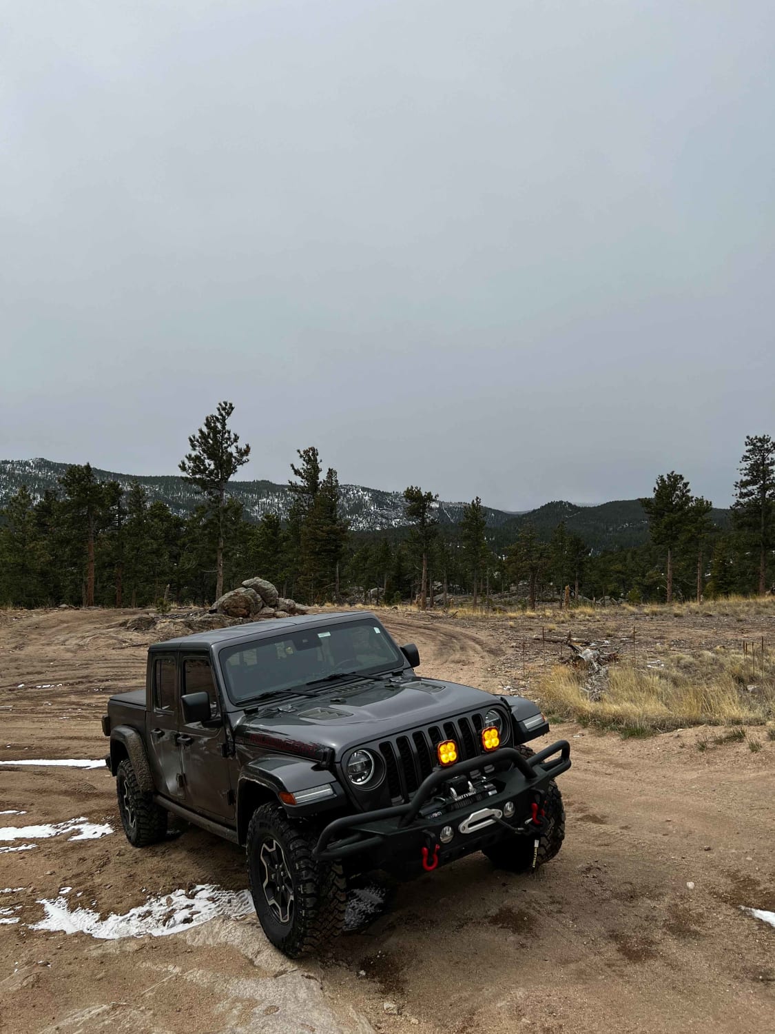
Cave Creek Road
Total Miles
1.0
Tech Rating
Moderate
Best Time
Summer, Fall
Learn more about Cedar Cut 2 - FS 359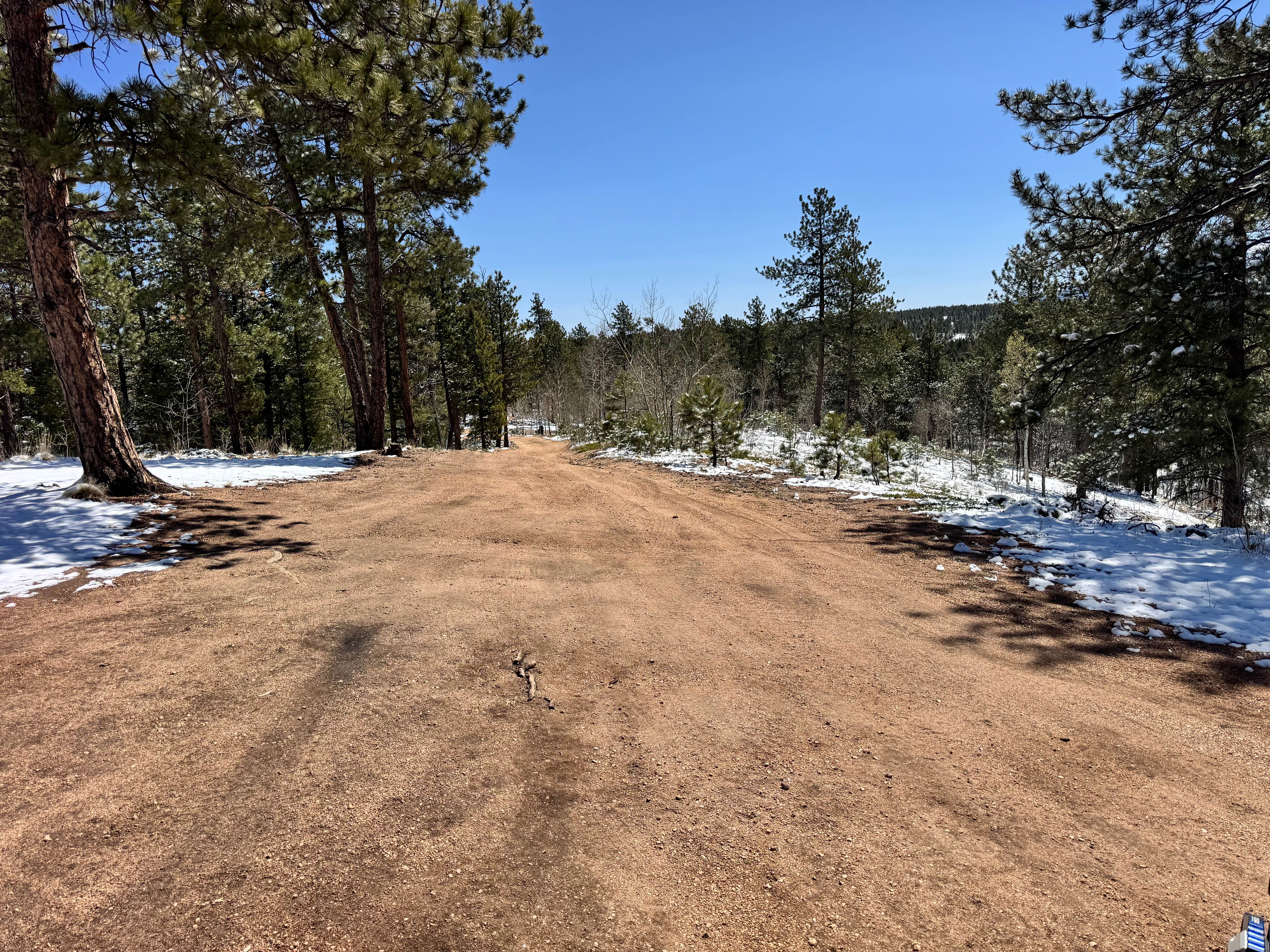
Cedar Cut 2 - FS 359
Total Miles
1.6
Tech Rating
Easy
Best Time
Spring, Summer, Fall
Learn more about Cedar Cut 3 Road - FS 359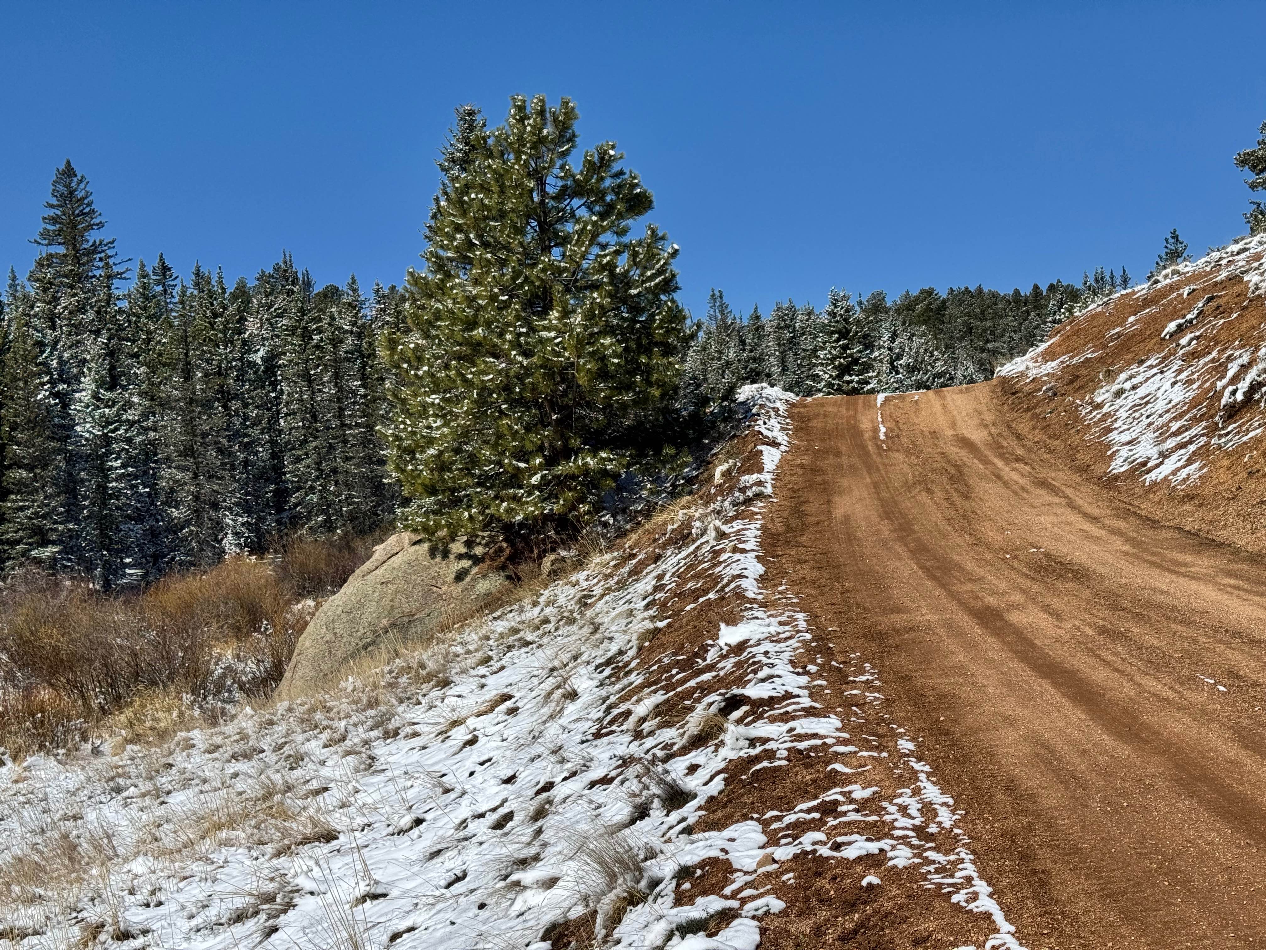
Cedar Cut 3 Road - FS 359
Total Miles
1.9
Tech Rating
Easy
Best Time
Spring, Summer, Fall
Learn more about Cedar Mountain Road - Teller County Road 51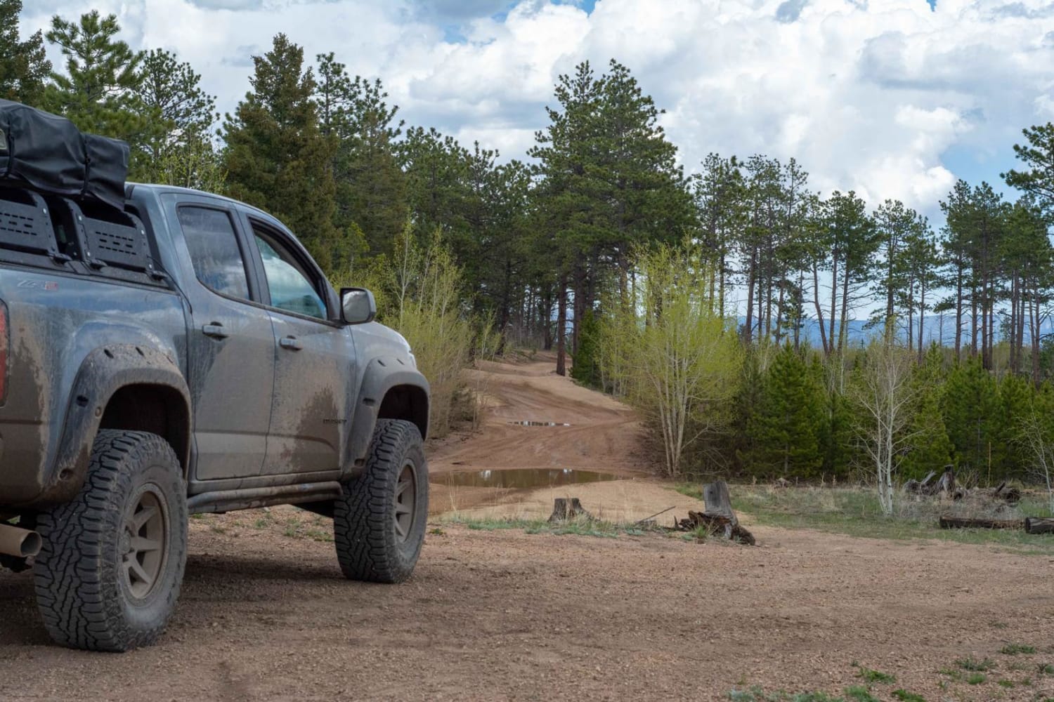
Cedar Mountain Road - Teller County Road 51
Total Miles
15.7
Tech Rating
Moderate
Best Time
Summer, Spring, Fall
Learn more about Cement Mountain
Cement Mountain
Total Miles
6.7
Tech Rating
Moderate
Best Time
Fall, Summer
Learn more about Champion Mine Trail
Champion Mine Trail
Total Miles
1.9
Tech Rating
Moderate
Best Time
Summer
Learn more about Chatauqua Mine Road
Chatauqua Mine Road
Total Miles
0.9
Tech Rating
Moderate
Best Time
Summer
Learn more about Chattanooga Trail
Chattanooga Trail
Total Miles
1.8
Tech Rating
Easy
Best Time
Summer, Fall
Learn more about Chicago Tunnel Trail
Chicago Tunnel Trail
Total Miles
0.7
Tech Rating
Moderate
Best Time
Summer, Fall
Learn more about Chicken Creek Road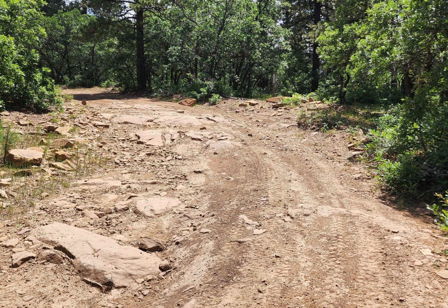
Chicken Creek Road
Total Miles
8.4
Tech Rating
Easy
Best Time
Spring, Summer, Fall
ATV trails in Colorado

Learn more about 16 Road, Coal Gulch
16 Road, Coal Gulch
Total Miles
14.1
Tech Rating
Easy
Best Time
Spring, Fall


UTV/side-by-side trails in Colorado
Learn more about 16 Road, Coal Gulch
16 Road, Coal Gulch
Total Miles
14.1
Tech Rating
Easy
Best Time
Spring, Fall

The onX Offroad Difference
onX Offroad combines trail photos, descriptions, difficulty ratings, width restrictions, seasonality, and more in a user-friendly interface. Available on all devices, with offline access and full compatibility with CarPlay and Android Auto. Discover what you’re missing today!