Off-Road Trails in Colorado
Discover off-road trails in Colorado
Learn more about BLM Route 31
BLM Route 31
Total Miles
6.3
Tech Rating
Moderate
Best Time
Fall, Summer, Spring
Learn more about BLM Route 5895
BLM Route 5895
Total Miles
1.7
Tech Rating
Moderate
Best Time
Spring, Summer, Fall, Winter
Learn more about BLM Route 80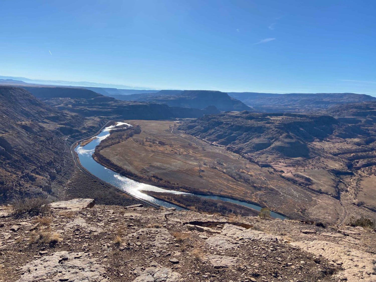
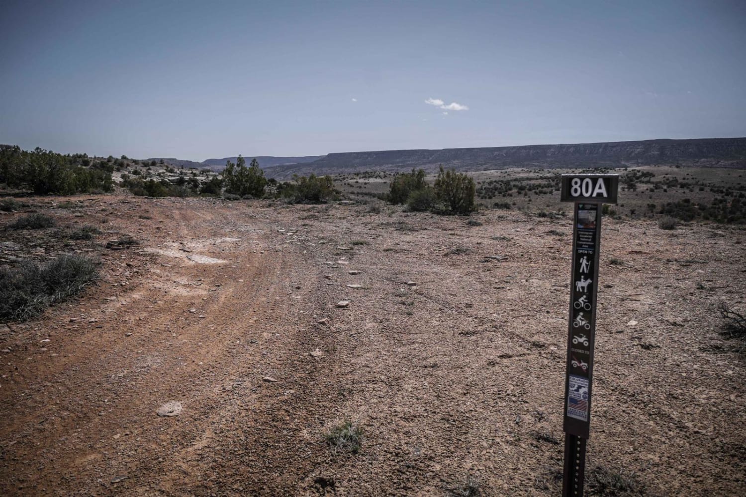
BLM Route 80
Total Miles
6.9
Tech Rating
Easy
Best Time
Spring, Summer, Fall, Winter
Learn more about BLM Route 8322 
BLM Route 8322
Total Miles
1.8
Tech Rating
Moderate
Best Time
Fall, Summer, Spring
Learn more about BLM Trail 106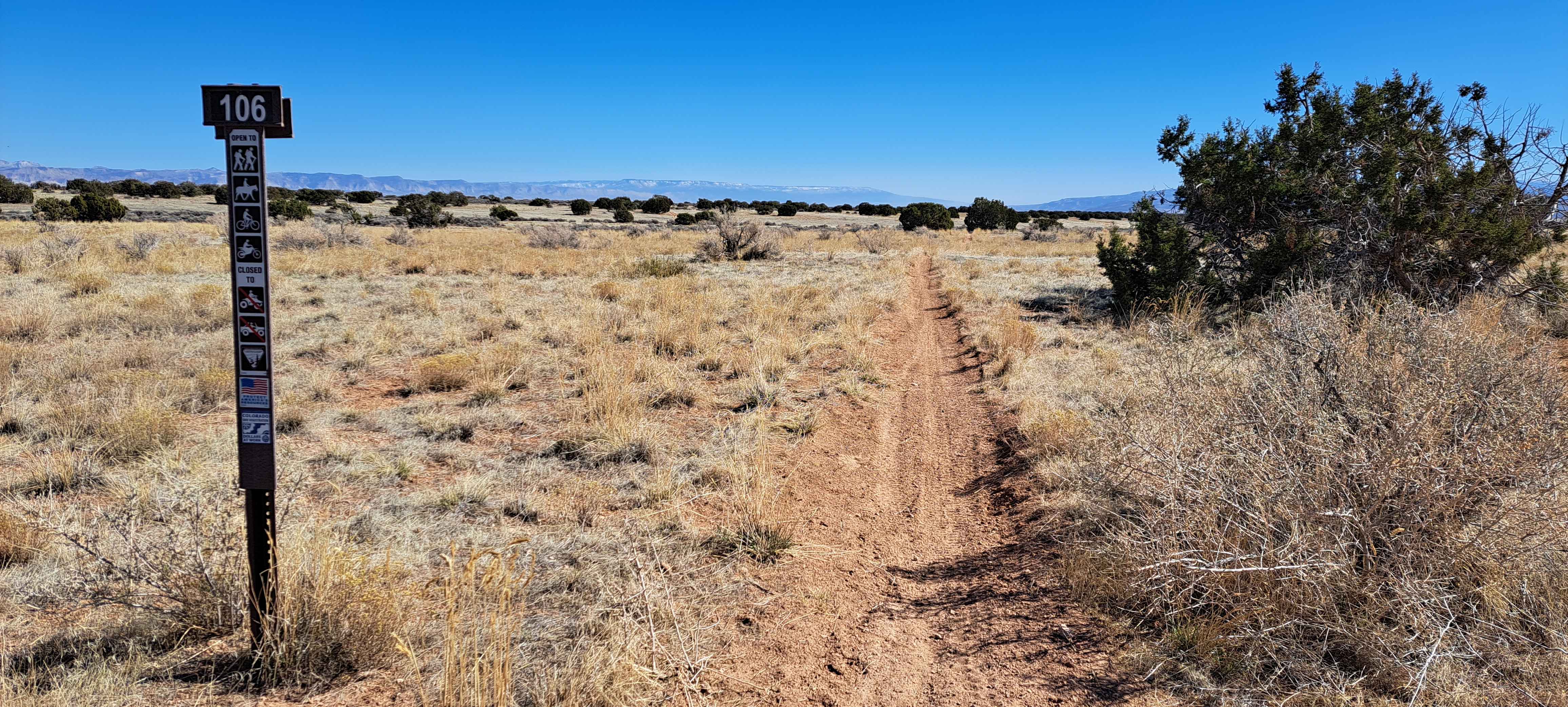
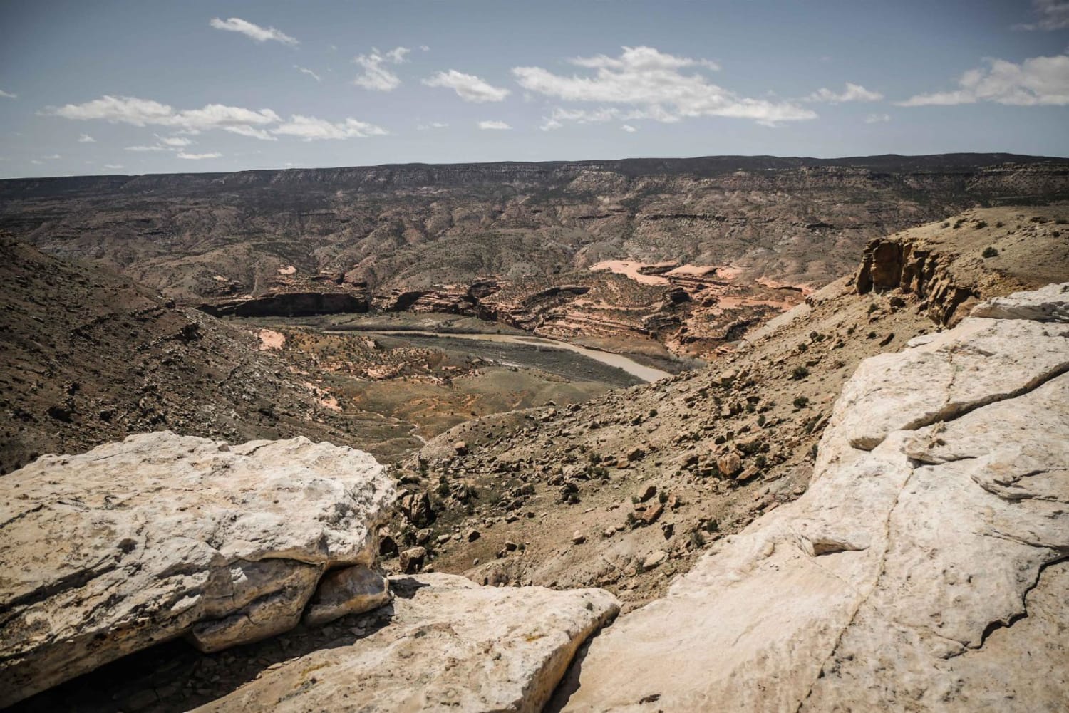
BLM Trail 106
Total Miles
2.1
Tech Rating
Moderate
Best Time
Spring, Fall, Winter
Learn more about Bocco Mountain, Blue Lake
Bocco Mountain, Blue Lake
Total Miles
8.1
Tech Rating
Moderate
Best Time
Summer, Fall
ATV trails in Colorado

Learn more about 16 Road, Coal Gulch
16 Road, Coal Gulch
Total Miles
14.1
Tech Rating
Easy
Best Time
Spring, Fall


UTV/side-by-side trails in Colorado
Learn more about 16 Road, Coal Gulch
16 Road, Coal Gulch
Total Miles
14.1
Tech Rating
Easy
Best Time
Spring, Fall

The onX Offroad Difference
onX Offroad combines trail photos, descriptions, difficulty ratings, width restrictions, seasonality, and more in a user-friendly interface. Available on all devices, with offline access and full compatibility with CarPlay and Android Auto. Discover what you’re missing today!