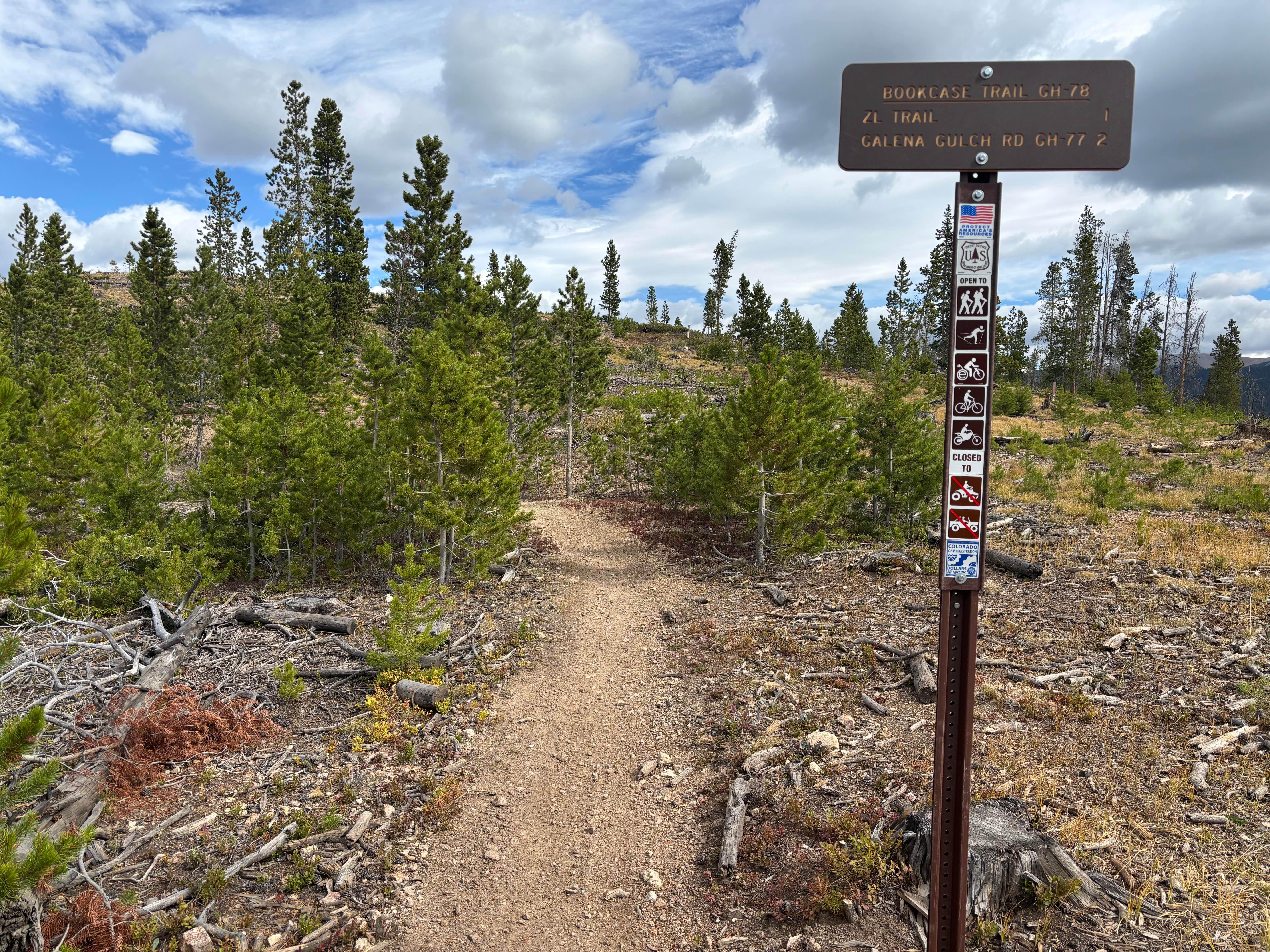
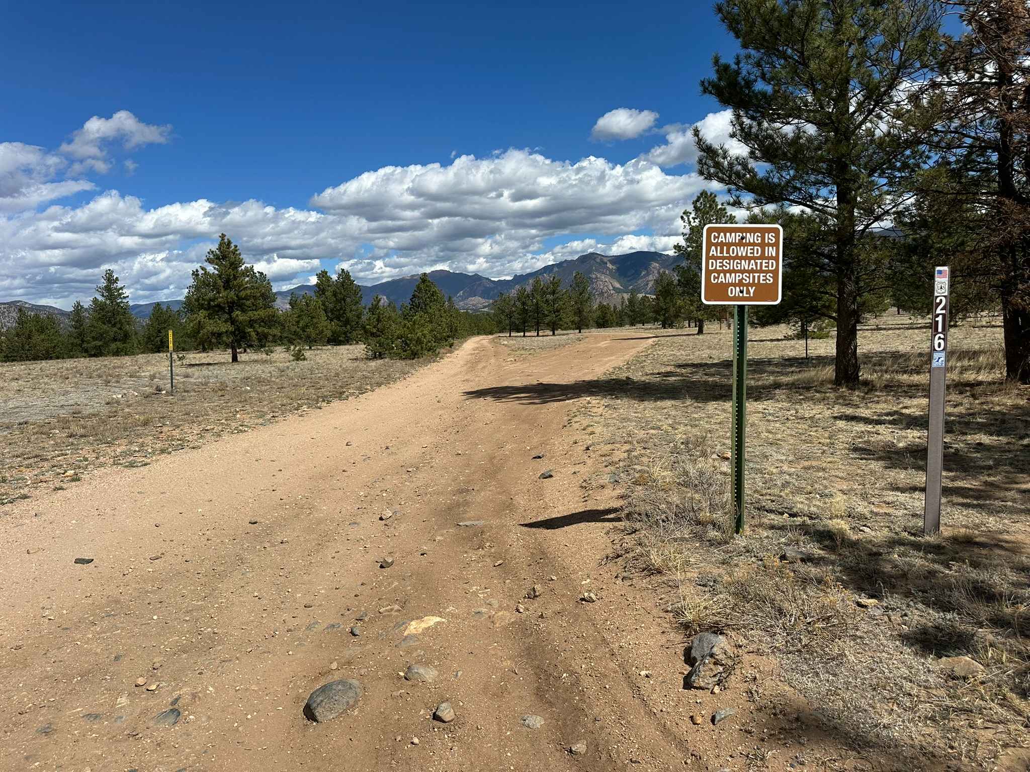
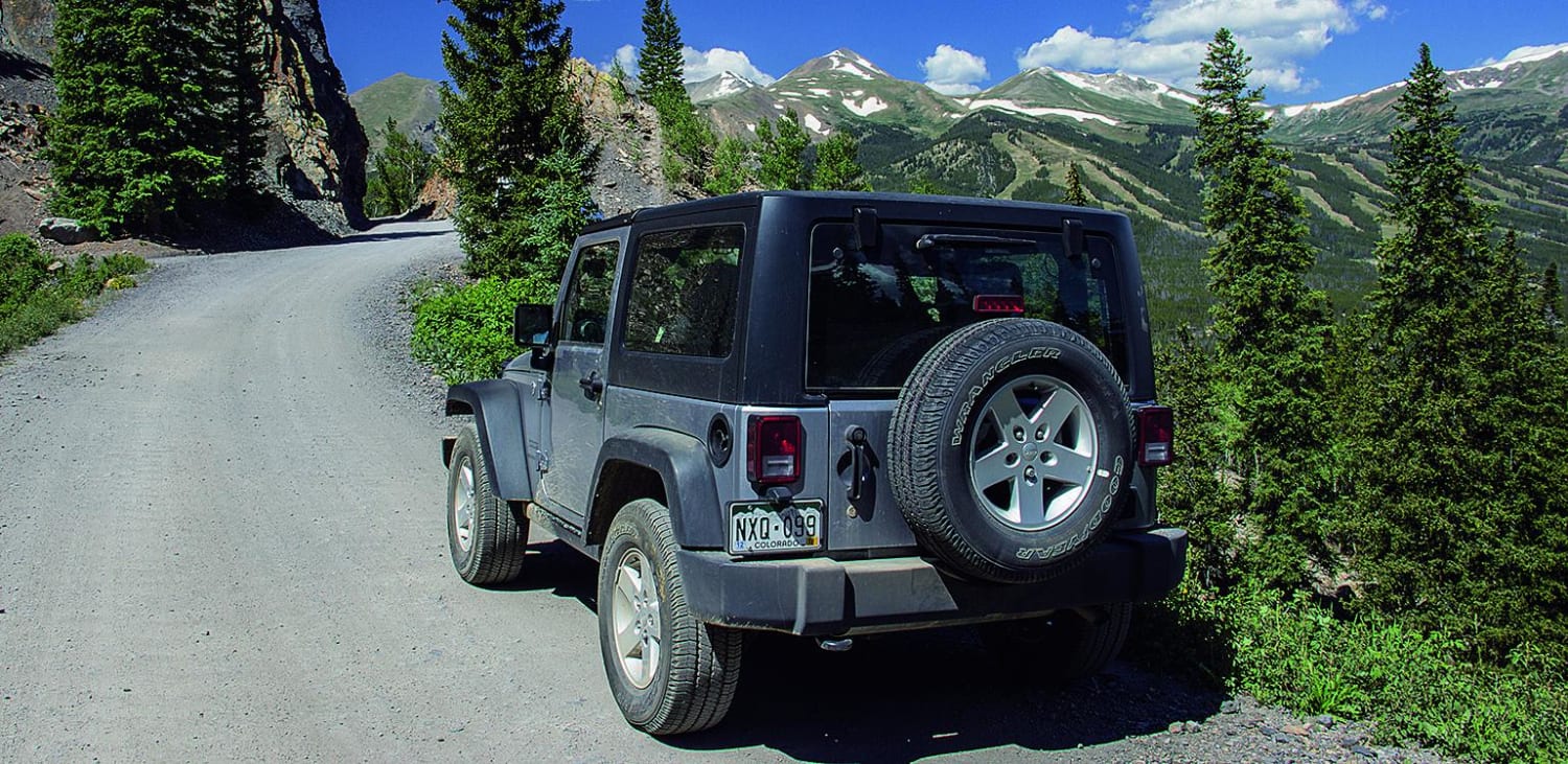
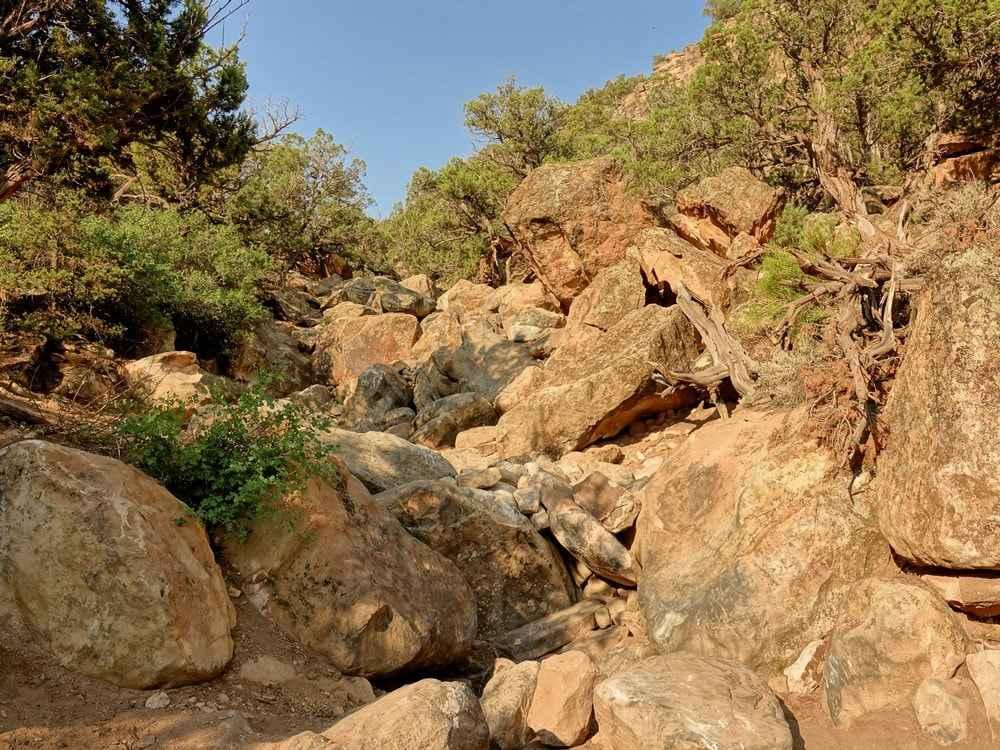
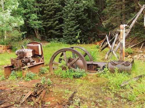
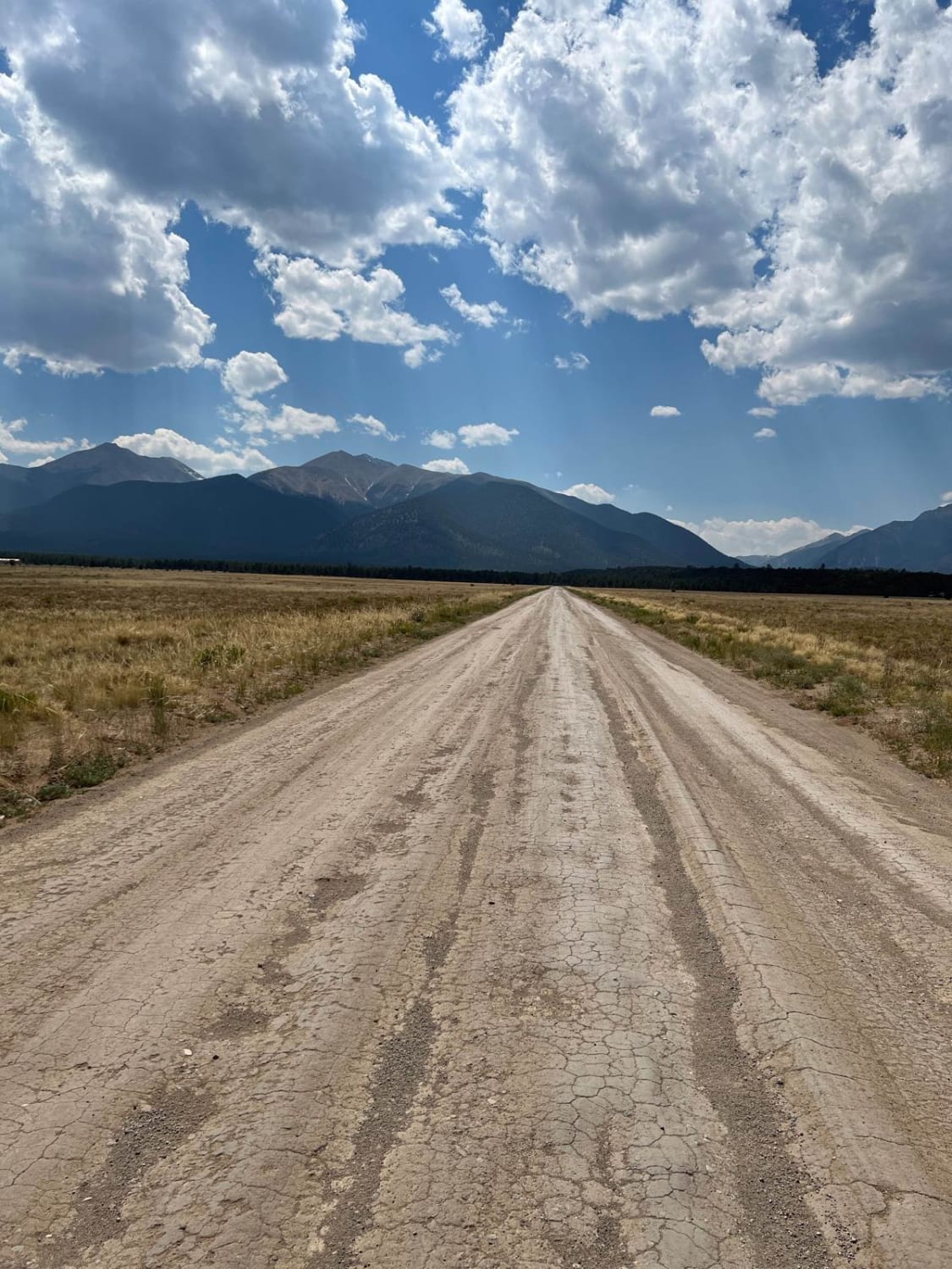
Off-Road Trails in Colorado
Discover off-road trails in Colorado
Learn more about Boggy Draw Road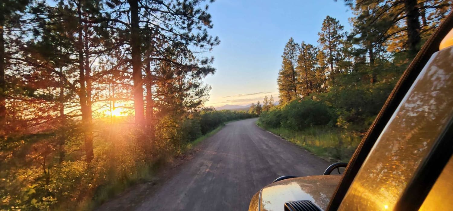
Boggy Draw Road
Total Miles
3.8
Tech Rating
Easy
Best Time
Summer, Spring, Fall
Learn more about Bonanza Highlights
Bonanza Highlights
Total Miles
17.8
Tech Rating
Moderate
Best Time
Summer, Fall
Learn more about Bonis Creek Trail 853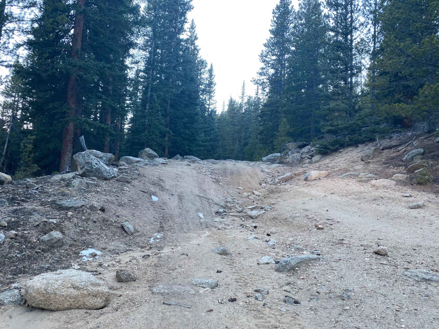
Bonis Creek Trail 853
Total Miles
2.5
Tech Rating
Moderate
Best Time
Fall, Summer

Learn more about Box Factory Park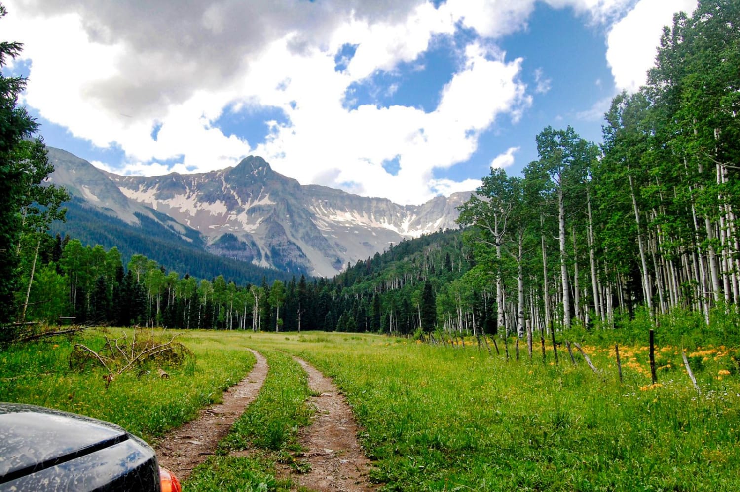
Box Factory Park
Total Miles
7.2
Tech Rating
Easy
Best Time
Spring, Summer, Fall
Learn more about Bransley Road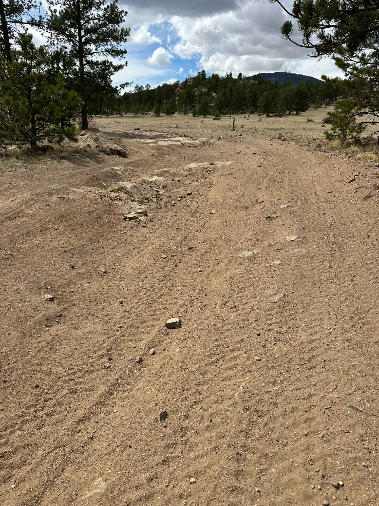
Bransley Road
Total Miles
1.3
Tech Rating
Easy
Best Time
Spring, Summer, Fall
Learn more about Break In The Mountain
Break In The Mountain
Total Miles
1.2
Tech Rating
Moderate
Best Time
Summer, Fall
Learn more about Bristol Head - MF 532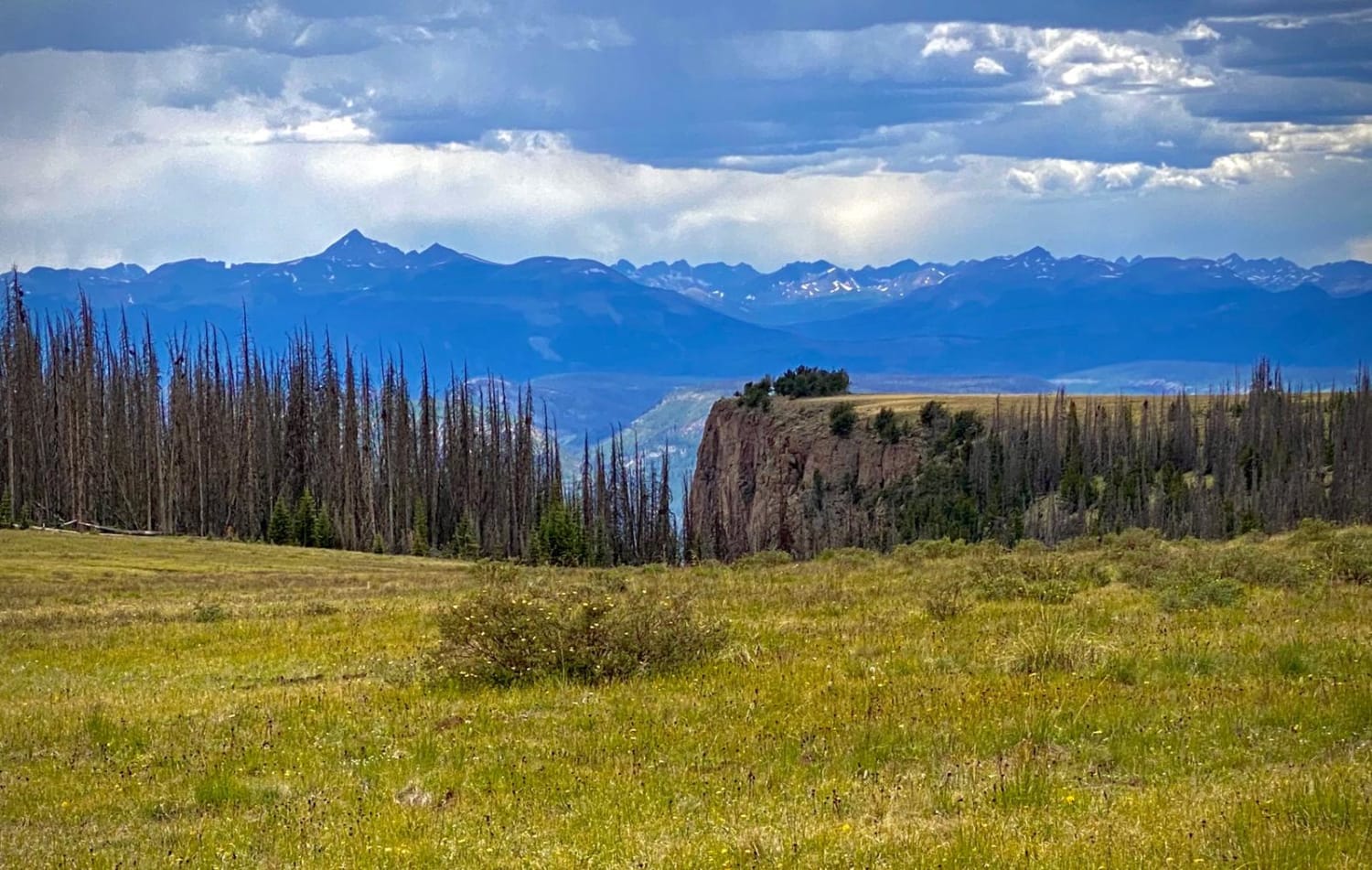
Bristol Head - MF 532
Total Miles
14.8
Tech Rating
Moderate
Best Time
Spring, Summer, Fall
Learn more about Broken Shovel 
Broken Shovel
Total Miles
0.8
Tech Rating
Easy
Best Time
Spring, Summer, Fall
Learn more about Browns & Breakneck 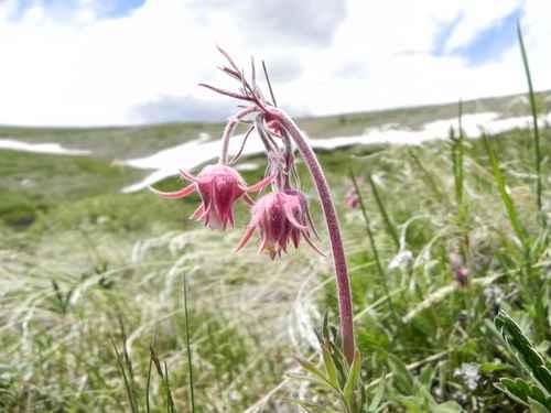
Browns & Breakneck
Total Miles
17.1
Tech Rating
Easy
Best Time
Summer, Fall
Learn more about Browns Creek Spur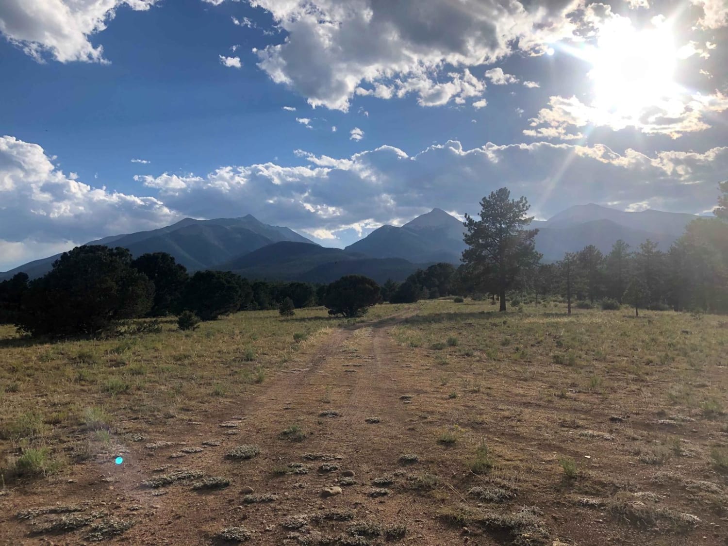
Browns Creek Spur
Total Miles
2.4
Tech Rating
Easy
Best Time
Spring, Summer, Fall
Learn more about Browns Creek Trail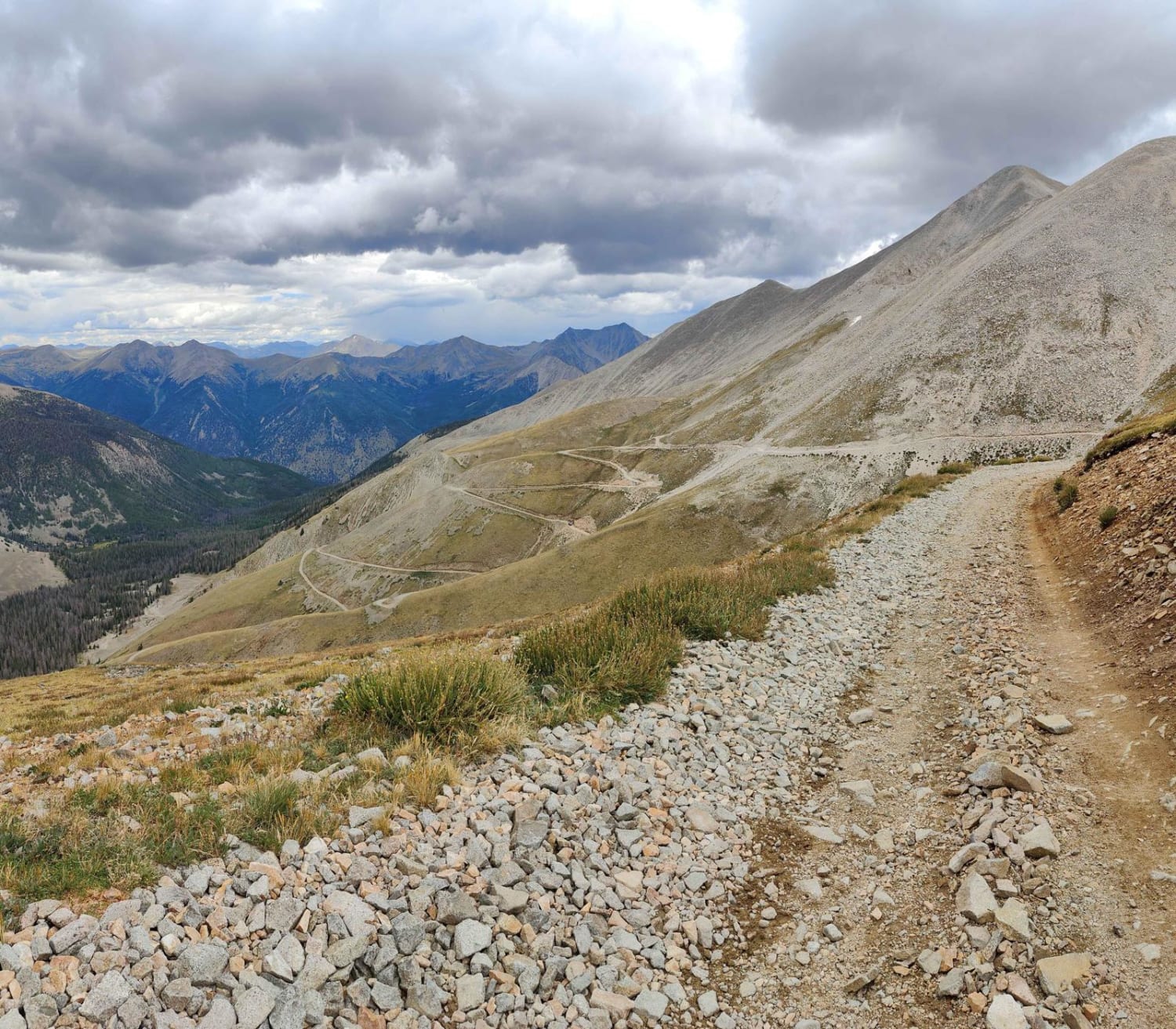
Browns Creek Trail
Total Miles
6.8
Tech Rating
Moderate
Best Time
Summer, Fall
ATV trails in Colorado

Learn more about 16 Road, Coal Gulch
16 Road, Coal Gulch
Total Miles
14.1
Tech Rating
Easy
Best Time
Spring, Fall


UTV/side-by-side trails in Colorado
Learn more about 16 Road, Coal Gulch
16 Road, Coal Gulch
Total Miles
14.1
Tech Rating
Easy
Best Time
Spring, Fall

The onX Offroad Difference
onX Offroad combines trail photos, descriptions, difficulty ratings, width restrictions, seasonality, and more in a user-friendly interface. Available on all devices, with offline access and full compatibility with CarPlay and Android Auto. Discover what you’re missing today!