Bowers Peak
Total Miles
2.9
Technical Rating
Best Time
Summer, Fall
Trail Type
Single Track
Accessible By
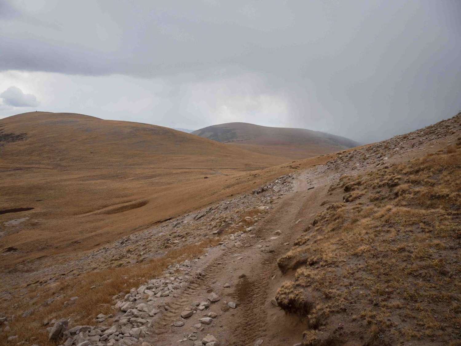
Trail Overview
From the north, this trail starts through the pine trees and meadows as a skinny single track, with small stream crossings and uncut logs. It has bits of loose and embedded rock in the trail, but also smooth flowy sections. It's a constant climb up from north to south to above 12,400 feet elevation and past Bowers Peak. Parts of the climb are steeper, but not overly difficult or rocky. The trail mostly goes through grassy high-elevation tundra above the tree line, so it's a smooth dirt trail to the saddle and intersection with the Perry Creek ATV trail. Be prepared for riding at high elevations in the late season; it can start to snow here as early as late summer.
Photos of Bowers Peak

Difficulty
This is an easier single track as it has steep climbs, but less rock than some of the surrounding trails.
Status Reports
Bowers Peak can be accessed by the following ride types:
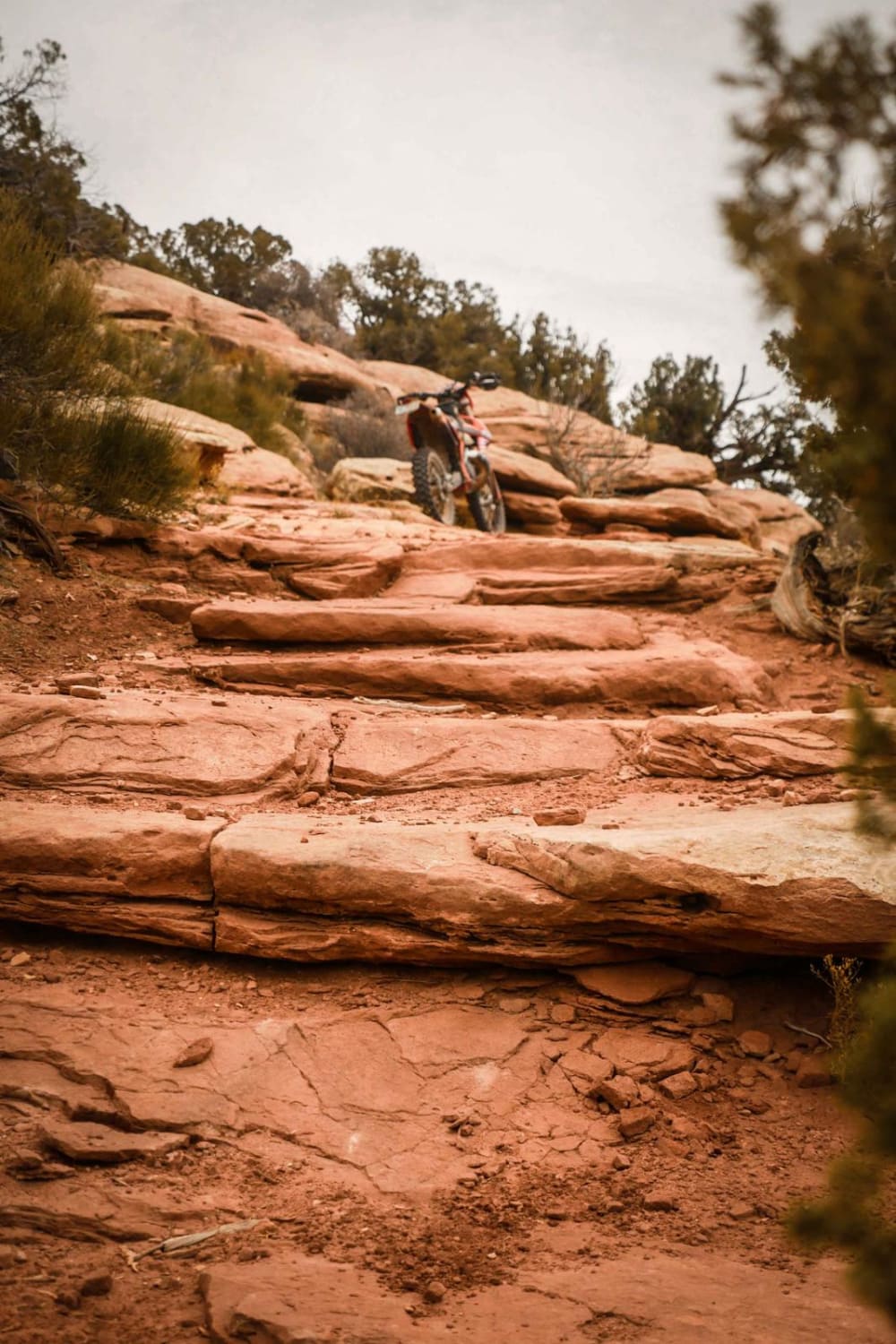
- Dirt Bike
Bowers Peak Map
Popular Trails

Skimmer Trail
Deadman Lookout
Forest Hill Mine
The onX Offroad Difference
onX Offroad combines trail photos, descriptions, difficulty ratings, width restrictions, seasonality, and more in a user-friendly interface. Available on all devices, with offline access and full compatibility with CarPlay and Android Auto. Discover what you’re missing today!